Knoutberry Bank Moss

Downs, Moorland in Yorkshire Craven

England

Knoutberry Bank Moss

Passing Far Gearstones The B6255 climbs up the moor from Ribblehead before descending into Widdale.
Passing Far Gearstones Credit: Mary and Angus Hogg

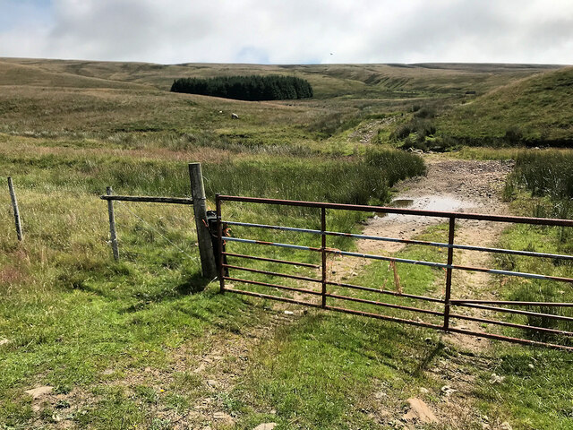
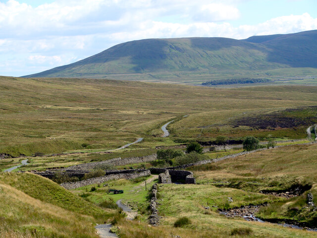
Knoutberry Bank Moss is a notable nature reserve located in the scenic Yorkshire Dales, specifically in the region known for its downs and moorland landscapes. Covering an area of approximately 100 hectares, this moss is a designated Site of Special Scientific Interest (SSSI) due to its significant ecological value.

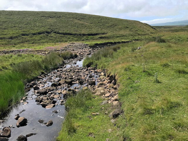
The moss is characterized by a diverse range of habitats, including bog, fen, and wet grassland. It is home to a variety of rare and specialized plant species, such as sphagnum moss, bog asphodel, and cotton grass. These unique plant communities thrive in the acidic, waterlogged conditions found within the moss.

Aside from its botanical significance, Knoutberry Bank Moss also provides a vital habitat for a range of animal species. The reserve is known to support a healthy population of breeding birds, including curlews, lapwings, and golden plovers. These birds are attracted to the moss due to the abundance of insects and invertebrates that inhabit the wetland areas.

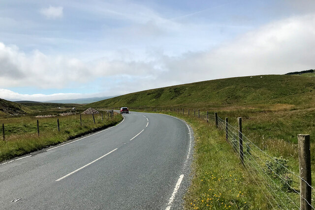
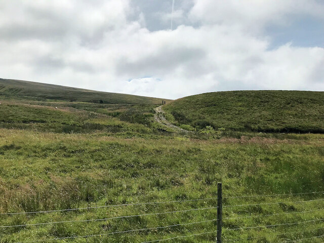
Visitors to Knoutberry Bank Moss can enjoy a peaceful and picturesque environment. The reserve offers a network of footpaths and boardwalks that allow for easy access while minimizing damage to sensitive habitats. These paths provide visitors with the opportunity to observe and appreciate the unique flora and fauna that thrive within the moss.

Overall, Knoutberry Bank Moss is an ecologically important nature reserve in Yorkshire, showcasing the beauty and biodiversity of the region's downs and moorland landscapes.

If you have any feedback on the listing, please let us know in the comments section below.

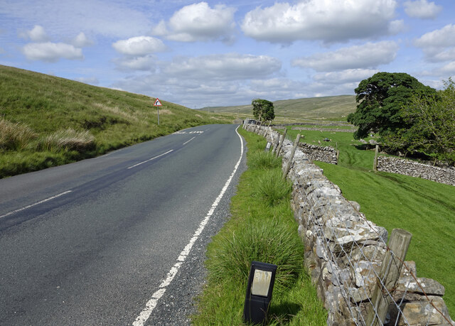
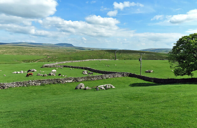
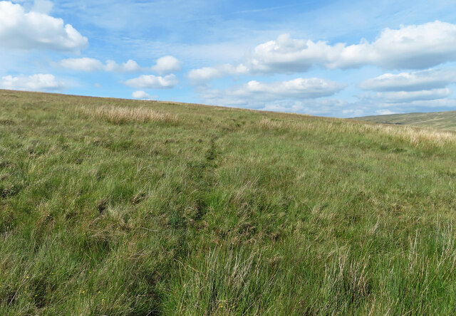
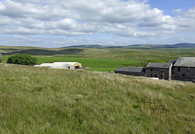
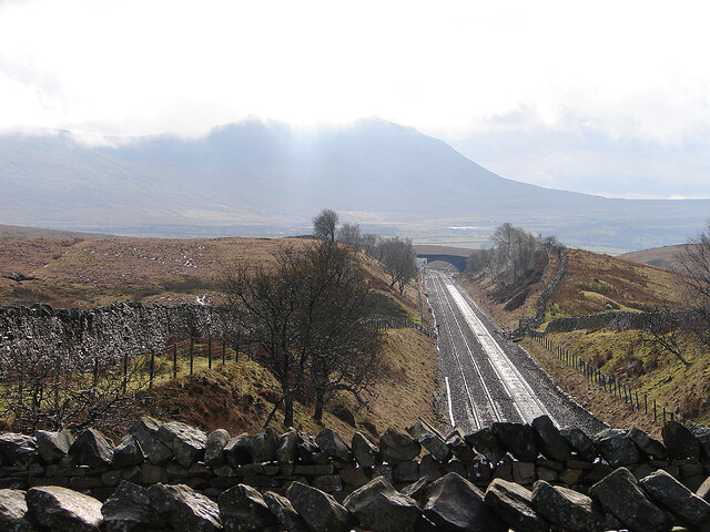
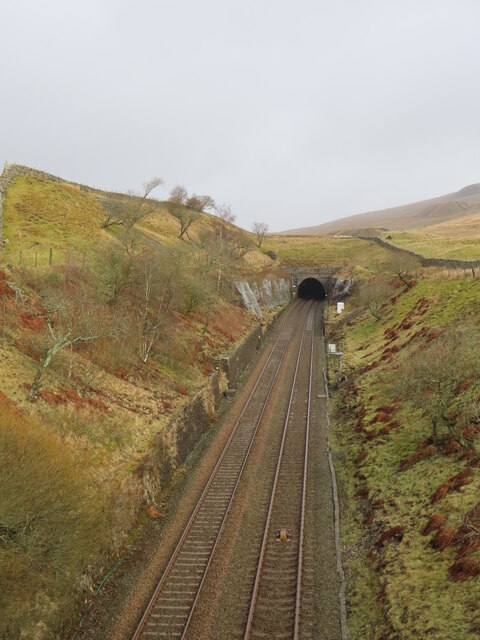
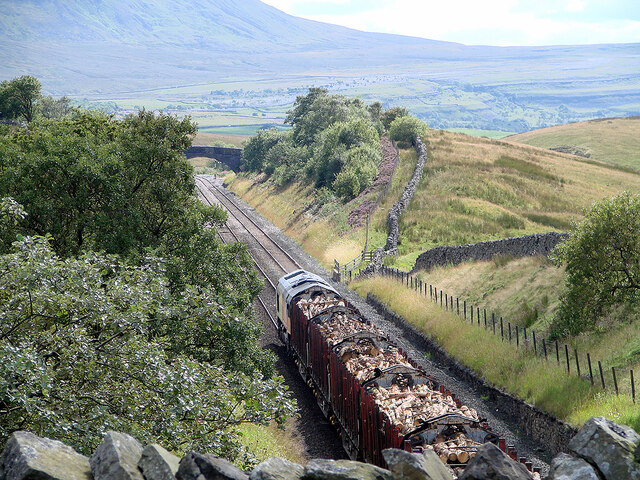
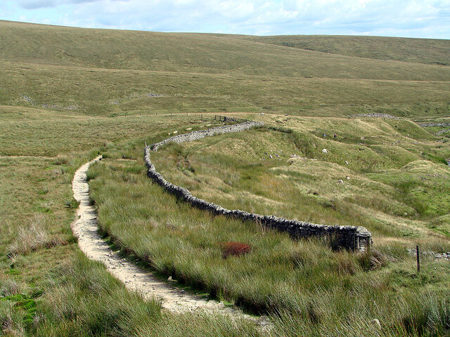
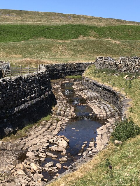
Knoutberry Bank Moss Images

Images are sourced within 2km of 54.22817/-2.3415544 or Grid Reference SD7781. Thanks to Geograph Open Source API. All images are credited.

Passing Far Gearstones The B6255 climbs up the moor from Ribblehead before descending into Widdale.
Passing Far Gearstones
The B6255 climbs up the moor from Ribblehead before descending into Widdale.
At Far Gearstones Fields near the farm buildings, marked out by traditional dry-stone walls.
At Far Gearstones
Fields near the farm buildings, marked out by traditional dry-stone walls.
On Green Slack Hill A sort of a path on the moor near Gearstones.
On Green Slack Hill
A sort of a path on the moor near Gearstones.
From Green Slack Hill This view taken from the edge of the hill shows Far Gearstones on the left and Gearstones Lodge on the right.
From Green Slack Hill
This view taken from the edge of the hill shows Far Gearstones on the left and Gearstones Lodge on the right.
Gate onto Gayle Moor
Gayle Beck
Gayle Beck
Blea Moor Road
Blea Moor Road
Gayle Moor
Gayle Moor
Little Dale and the aqueduct Viewed from Smithy Hill. Park Fell beyond.
Little Dale and the aqueduct
Viewed from Smithy Hill. Park Fell beyond.
Old milestone The 13 mile section of the route from Burton in Lonsdale to the old West Riding/North Riding boundary was, prior to 1974, in the West Riding but is now  North Yorkshire.   The previous photograph of this stone at the entrance to Far Gearstones Farm <a href="https://www.geograph.org.uk/photo/6044877">SD7880 : Old Milestone by the B6255, Blea Moor Road, Ingleton Parish</a> was actually taken in April 2015 not as stated.   It has been painted since then but rust is once again showing through.   Grade II listed 1132231.
Old milestone
The 13 mile section of the route from Burton in Lonsdale to the old West Riding/North Riding boundary was, prior to 1974, in the West Riding but is now North Yorkshire. The previous photograph of this stone at the entrance to Far Gearstones Farm SD7880 : Old Milestone by the B6255, Blea Moor Road, Ingleton Parish was actually taken in April 2015 not as stated. It has been painted since then but rust is once again showing through. Grade II listed 1132231.
Old milestone This milestone has been painted since <a href="https://www.geograph.org.uk/photo/6102622">SD7981 : Old Milestone by the B6255 on Gayle Moor</a> was taken but the legends have not been picked out in black.   On the bevel can be seen the rectangle with the maker's name, William Towler, Globe Foundry, Leeds.   On the 1893 contract the metal castings were to be painted blue with white lettering.   It is not known when black letters on white became the norm.   When old paint is stripped off prior to repainting patches of blue can sometimes be seen.   Grade II listed 1289368.
Old milestone
This milestone has been painted since SD7981 : Old Milestone by the B6255 on Gayle Moor was taken but the legends have not been picked out in black. On the bevel can be seen the rectangle with the maker's name, William Towler, Globe Foundry, Leeds. On the 1893 contract the metal castings were to be painted blue with white lettering. It is not known when black letters on white became the norm. When old paint is stripped off prior to repainting patches of blue can sometimes be seen. Grade II listed 1289368.
Old milestone Looking towards Hawes, it can be seen that the backing stone is cracked.   But it is securely held by 4 bolts, 2 in the top part and 2 at the base although they are hidden in the soil at this milestone.   The backing stones were not painted when they were set up but over the years some have been painted white, some black and some grey.   The stones were to be got from a quarry in Kirkstall (Leeds) or be of similar quality.
Old milestone
Looking towards Hawes, it can be seen that the backing stone is cracked. But it is securely held by 4 bolts, 2 in the top part and 2 at the base although they are hidden in the soil at this milestone. The backing stones were not painted when they were set up but over the years some have been painted white, some black and some grey. The stones were to be got from a quarry in Kirkstall (Leeds) or be of similar quality.
The Settle and Carlisle Railway through Little Dale With the bulk of Ingleborough ahead.
The Settle and Carlisle Railway through Little Dale
With the bulk of Ingleborough ahead.
Entrance to Bleamoor Tunnel
Plank bridge over Little Dale Beck Not needed on this summer day, and has been subsequently replaced by a permanent footbridge a little upstream. The ex-signalman's house is visible on the right, currently (2023) on sale for a reduced £200,000, with a caveat of needing full refurbishment and, unsurprisingly, has no mains services.
Plank bridge over Little Dale Beck
Not needed on this summer day, and has been subsequently replaced by a permanent footbridge a little upstream. The ex-signalman's house is visible on the right, currently (2023) on sale for a reduced £200,000, with a caveat of needing full refurbishment and, unsurprisingly, has no mains services.
Timber Being hauled to the Kronospan board works at Chirk. Viewed from the Little Dale overbridge.
Timber
Being hauled to the Kronospan board works at Chirk. Viewed from the Little Dale overbridge.
Footpath on Smithy Hill Running down to the bridge across the railway in Little Dale.
Footpath on Smithy Hill
Running down to the bridge across the railway in Little Dale.
Aqueduct crossing the Settle & Carlisle Railway
Show me another place!

Knoutberry Bank Moss is located at Grid Ref: SD7781 (Lat: 54.22817, Lng: -2.3415544)

Division: West Riding

Administrative County: North Yorkshire

District: Craven

Police Authority: North Yorkshire

What 3 Words

///thinker.crackled.mount. Near Ingleton, North Yorkshire

Related Wikis

Ribblehead

Ribblehead is the area of moorland at the head of the River Ribble in the area known as Ribblesdale, in the Yorkshire Dales National Park, England. Ribblehead...
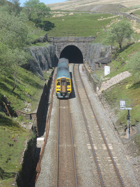
Blea Moor Tunnel

Blea Moor Tunnel is a 2,629 yards (1.494 mi)(2,404 m) railway tunnel located between Ribblehead Viaduct and Dent railway station in England. It is the...

Ribblehead Viaduct

The Ribblehead Viaduct or Batty Moss Viaduct carries the Settle–Carlisle railway across Batty Moss in the Ribble Valley at Ribblehead, in North Yorkshire...

Ribblehead railway station

Ribblehead is a railway station on the Settle and Carlisle Line, which runs between Carlisle and Leeds via Settle. The station, situated 52 miles 17 chains...

Nearby Amenities

Located within 500m of 54.22817,-2.3415544
Knoutberry Bank
Natural: fell
Source: NPE
Lat/Long: 54.2310414/-2.3411639
The data included in this document is from www.openstreetmap.org. The data is made available under ODbL.

Have you been to Knoutberry Bank Moss?

Leave your review of Knoutberry Bank Moss below (or comments, questions and feedback).