Thieves Moss

Downs, Moorland in Yorkshire Craven

England

Thieves Moss

Wall immersed in area of rushes Lying to the north side of the path between Horton in Ribblesdale and Ingleborough; it's below Simon Fell,  part of the main mountain.
Pen-y-ghent is the peak in the distance.
Wall immersed in area of rushes Credit: Trevor Littlewood

Thieves Moss is a picturesque area located in the county of Yorkshire, England. Situated in the heart of the Yorkshire Downs and Moorland, this region is renowned for its breathtaking natural beauty and rich cultural heritage.

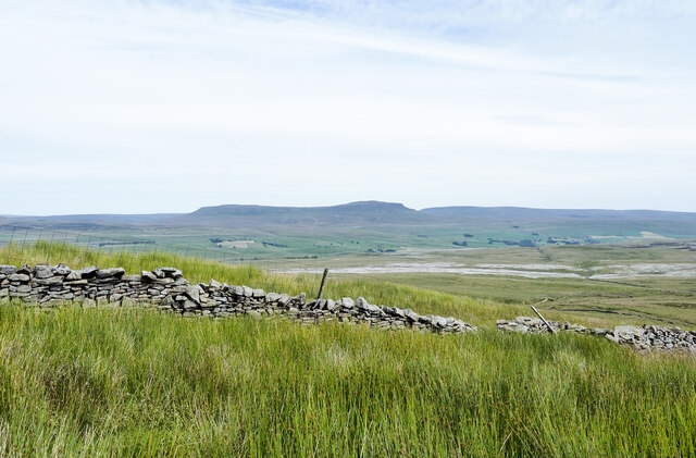
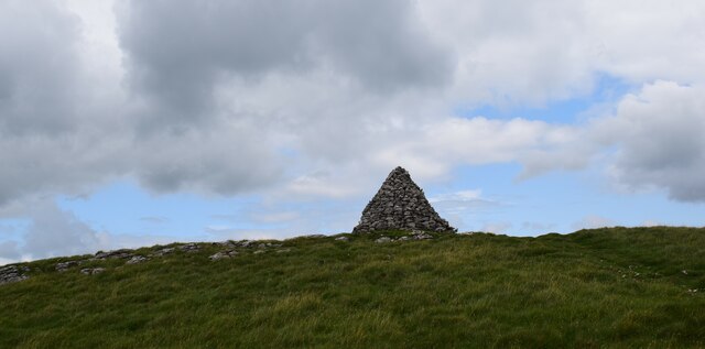
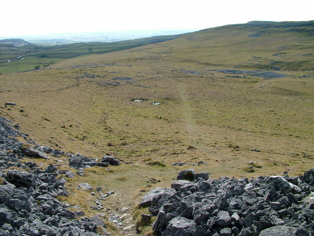
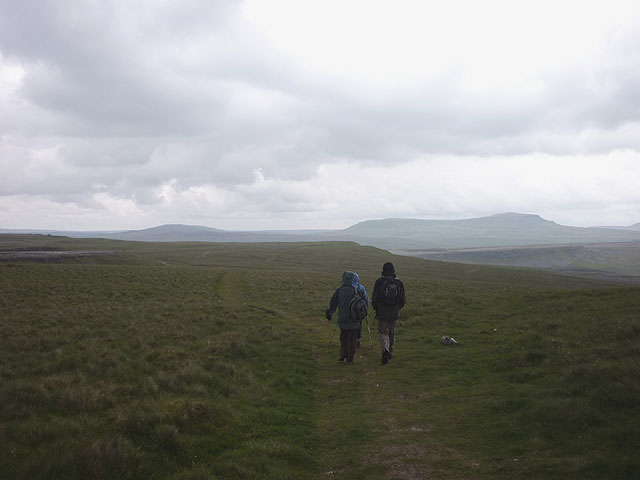
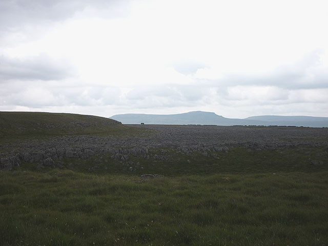
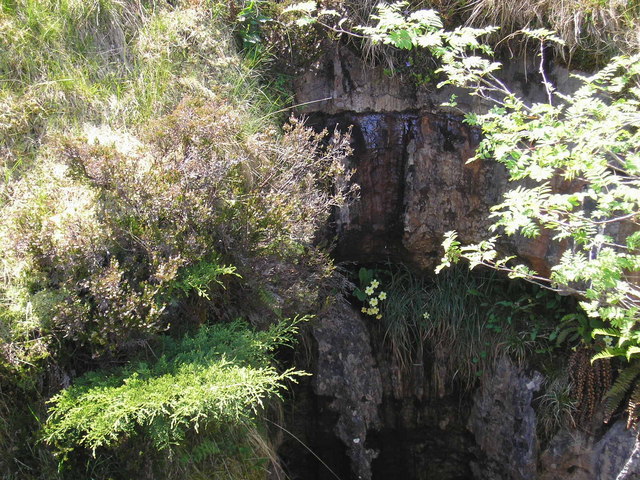
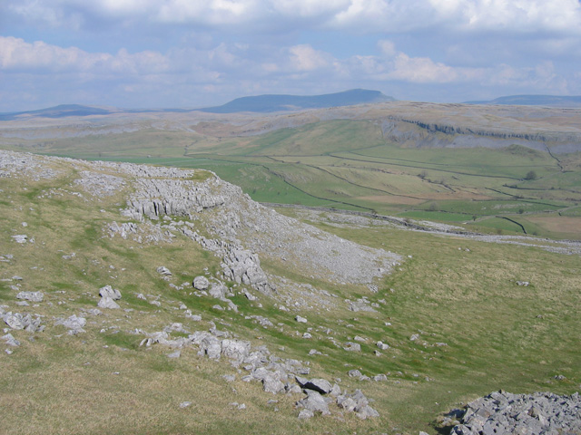
Covering a vast expanse of land, Thieves Moss boasts rolling hills, expansive meadows, and dense forests, making it a haven for nature lovers and outdoor enthusiasts. The landscape is dotted with charming stone cottages and ancient ruins, adding to the area's historic charm. The moorlands are home to a diverse range of flora and fauna, including heather, bilberry, and various bird species.

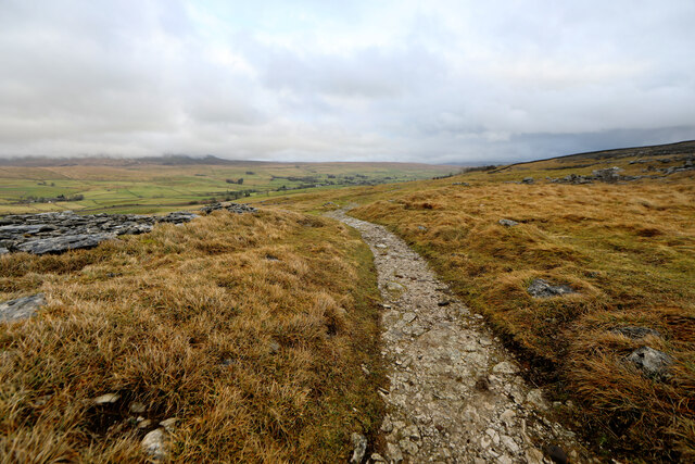
Thieves Moss is also known for its tranquil atmosphere, attracting visitors seeking a peaceful retreat away from the hustle and bustle of city life. The region offers numerous walking trails and cycling routes that allow visitors to explore its scenic beauty at their own pace. Additionally, there are several camping spots and picnic areas, providing opportunities for visitors to immerse themselves in the natural surroundings.

The nearby towns and villages surrounding Thieves Moss offer a glimpse into the local culture and history of Yorkshire. Traditional pubs, quaint tearooms, and artisan shops can be found in these charming settlements, allowing visitors to experience the warm hospitality and authentic Yorkshire charm.

Overall, Thieves Moss in Yorkshire Downs and Moorland is a captivating destination that offers a harmonious blend of natural splendor and cultural richness, making it an ideal retreat for those seeking a tranquil escape in the heart of England.

If you have any feedback on the listing, please let us know in the comments section below.
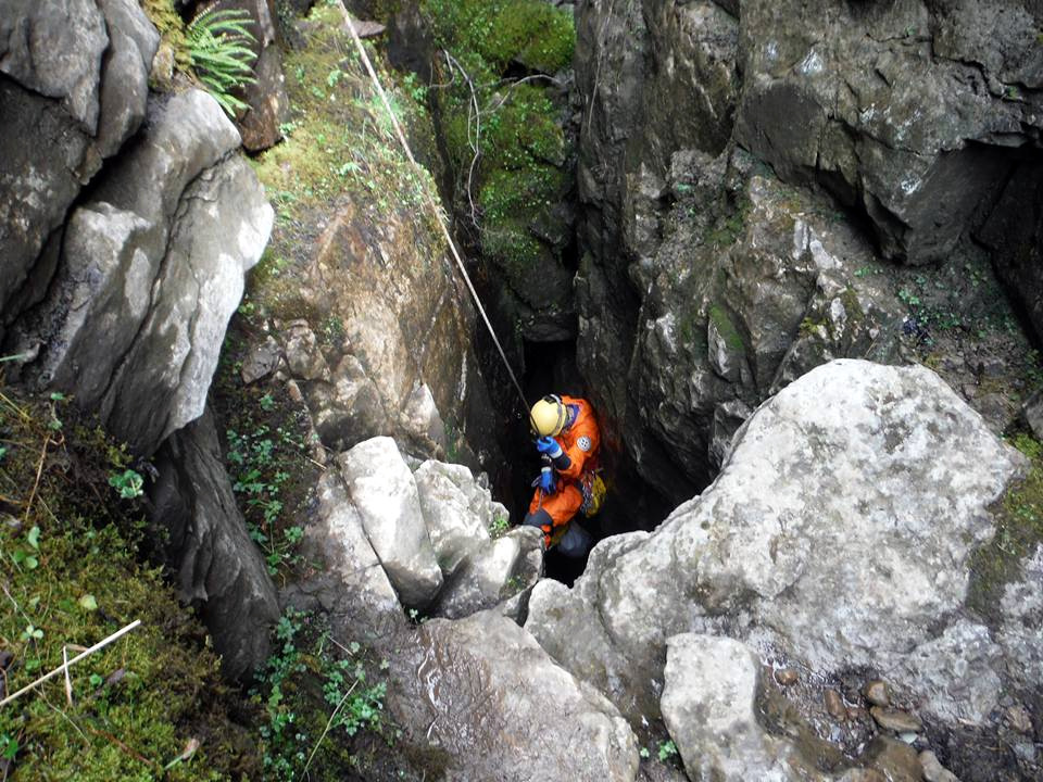
Thieves Moss Images

Images are sourced within 2km of 54.152857/-2.3410867 or Grid Reference SD7773. Thanks to Geograph Open Source API. All images are credited.

Wall immersed in area of rushes Lying to the north side of the path between Horton in Ribblesdale and Ingleborough; it's below Simon Fell,  part of the main mountain.
Pen-y-ghent is the peak in the distance.
Wall immersed in area of rushes
Lying to the north side of the path between Horton in Ribblesdale and Ingleborough; it's below Simon Fell, part of the main mountain. Pen-y-ghent is the peak in the distance.
Limestone pavement beyond area of grass Limestone pavement north-west of Horton in Ribblesdale as seen from the eroded path used as the main route from the village to Ingleborough.
Limestone pavement beyond area of grass
Limestone pavement north-west of Horton in Ribblesdale as seen from the eroded path used as the main route from the village to Ingleborough.
Borrins Ford This ford on the Pennine Bridleway is found near Borrins. A photograph taken in the opposite direction can be viewed at:
<a title="https://www.geograph.org.uk/photo/3034299" href="https://www.geograph.org.uk/photo/3034299">Link</a>
Borrins Ford
This ford on the Pennine Bridleway is found near Borrins. A photograph taken in the opposite direction can be viewed at: Link
Track near Moughton Scars
Cairn on Long Scar Quite impressive.
Cairn on Long Scar
Quite impressive.
Long wall across Moughton There are no real paths across the high plateau of Moughton, and it is generally a choice between boggy heather or loose limestone pavement and shillow. However, at least sheep feel the need to pick a route sheltered from the cold east winds of winter, so a trod of sorts follows the wall closely on its way north towards the main path up from Horton-in-Ribblesdale.
Long wall across Moughton
There are no real paths across the high plateau of Moughton, and it is generally a choice between boggy heather or loose limestone pavement and shillow. However, at least sheep feel the need to pick a route sheltered from the cold east winds of winter, so a trod of sorts follows the wall closely on its way north towards the main path up from Horton-in-Ribblesdale.
Moughton wall meets the Horton path The stille marks the crossing of the long, almost north-south, wall on Moughton, and takes the walker towards an eventual descent to Horton-in-Ribblesdale. To the left, the path heads down towards Austwick. Those seeking a route up Ingleborough need to head a bit further north yet before finding the well trodden path onto the Allotment.
Moughton wall meets the Horton path
The stille marks the crossing of the long, almost north-south, wall on Moughton, and takes the walker towards an eventual descent to Horton-in-Ribblesdale. To the left, the path heads down towards Austwick. Those seeking a route up Ingleborough need to head a bit further north yet before finding the well trodden path onto the Allotment.
Descending from Moughton by the old Sulber Nick track The marked public footpath to Sulber Nick and up to Nick Pot, takes a more direct line (for walkers) than the older track (which is not a public right of way, but is on CROW Access Land) which one encunters first if coming from the south. This is the point where it drops down, leaving this square, to join the public footpath from Moughton at a slightly lower level>.as it happens. that's the way I came, but had to nip up here in order not to miss this square.
Descending from Moughton by the old Sulber Nick track
The marked public footpath to Sulber Nick and up to Nick Pot, takes a more direct line (for walkers) than the older track (which is not a public right of way, but is on CROW Access Land) which one encunters first if coming from the south. This is the point where it drops down, leaving this square, to join the public footpath from Moughton at a slightly lower level>.as it happens. that's the way I came, but had to nip up here in order not to miss this square.
Descending from Sulber Nick to Horton The green marked public right of way seems to have little relation to the clearly well maintained paths across the CROW Access Land hereabouts, lying somewhere off to the left of this view. The limestone surfaced path, however, is unmistakeable (even in mist and dark if you listen to your footsteps) and is the obvious line to take towards Horton-in-Ribblesdale with the cloud containing Penyghent beyond.
Descending from Sulber Nick to Horton
The green marked public right of way seems to have little relation to the clearly well maintained paths across the CROW Access Land hereabouts, lying somewhere off to the left of this view. The limestone surfaced path, however, is unmistakeable (even in mist and dark if you listen to your footsteps) and is the obvious line to take towards Horton-in-Ribblesdale with the cloud containing Penyghent beyond.
Gated track
Gated track
Wall on Moughton
Wall on Moughton
Trig pillar, Sulber
Trig pillar, Sulber
Grouse Butts I did not see a single grouse on the plateau today
Grouse Butts
I did not see a single grouse on the plateau today
Path from Sulber Nick
Footpath over Sulber Nick
Crummack Dale
Crummack Dale
On the bridleway, Long Scar Looking to Penyghent beyond Crummackdale.
On the bridleway, Long Scar
Looking to Penyghent beyond Crummackdale.
Shakehole on Long Scar This is one of the larger ones on Ingleborough but, being well forward of the shale/limestone boundary it does not have any cave or pothole entrance. Looking to Penyghent.
Shakehole on Long Scar
This is one of the larger ones on Ingleborough but, being well forward of the shale/limestone boundary it does not have any cave or pothole entrance. Looking to Penyghent.
Show me another place!

Thieves Moss is located at Grid Ref: SD7773 (Lat: 54.152857, Lng: -2.3410867)

Division: West Riding

Administrative County: North Yorkshire

District: Craven

Police Authority: North Yorkshire

What 3 Words

///genetics.edit.overcomes. Near Ingleton, North Yorkshire

Nearby Locations

Thieves Moss

Related Wikis

Juniper Gulf

Juniper Gulf is a pit cave in on the side of Ingleborough in Yorkshire, England. It is a popular single rope technique (SRT) trip for cavers, especially...

Crummackdale

Crummackdale, (sometimes Crummack Dale), is a small valley north of the village of Austwick in the Craven District of North Yorkshire, England. The Valley...

Long Kin East Cave - Rift Pot System

The Long Kin East Cave - Rift Pot system is a limestone cave system on the southern flanks of Ingleborough, North Yorkshire in England lying within the...

Trow Ghyll skeleton

The Trow Ghyll skeleton is a set of human remains discovered on 24 August 1947 in a cave near Clapham in the West Riding of Yorkshire, England. It was...

Nearby Amenities

Located within 500m of 54.152857,-2.3410867
Barrier: stile
Description: Very large stile
Note: limit of Open Access Area
Lat/Long: 54.1486924/-2.3425777
Thieves Moss
Is In: Craven, North Yorkshire, Yorkshire, England, UK
Place: locality
Source: npe
Lat/Long: 54.151711/-2.3414615
Sulber Gate
Is In: Craven, North Yorkshire
Place: locality
Source: local_knowledge
Tourism: viewpoint
Lat/Long: 54.1538825/-2.3446973
Sulber
Is In: Craven, North Yorkshire, Yorkshire, England, UK
Place: locality
Source: npe
Lat/Long: 54.1557271/-2.3397105
Barrier: stile
Lat/Long: 54.153881/-2.3443341
Beggars Stile
Is In: Craven, North Yorkshire
Place: locality
Lat/Long: 54.1487506/-2.3427206
The data included in this document is from www.openstreetmap.org. The data is made available under ODbL.

Have you been to Thieves Moss?

Leave your review of Thieves Moss below (or comments, questions and feedback).