Whit-a-Green
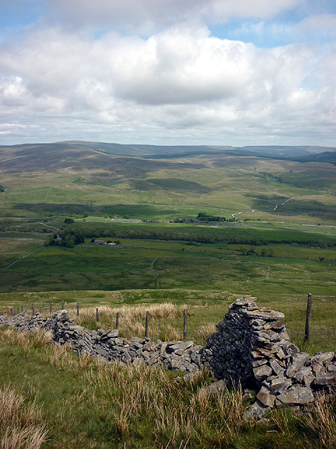
Downs, Moorland in Yorkshire Craven
England
Whit-a-Green

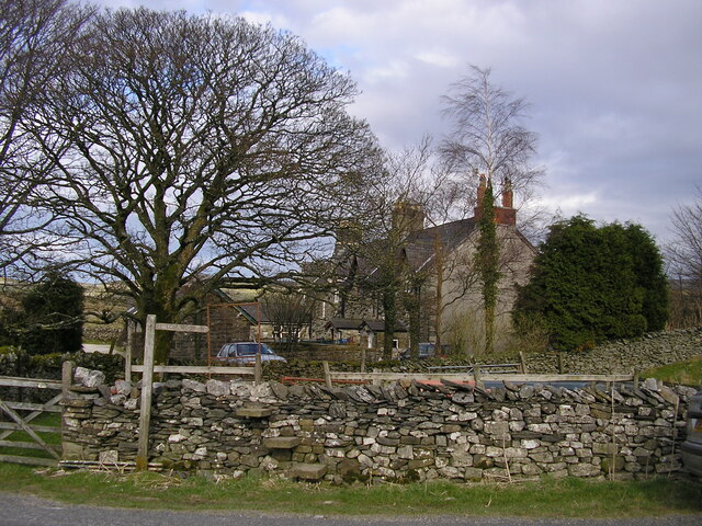
Whit-a-Green is a picturesque village located in the heart of Yorkshire, England. Nestled amidst the stunning landscape of the Yorkshire Downs and Moorland, this quaint settlement offers a tranquil retreat for both locals and tourists alike.
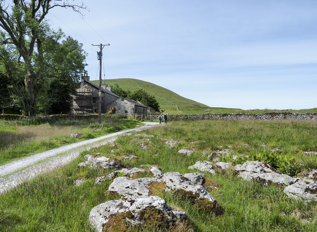
Surrounded by rolling hills and vast stretches of greenery, Whit-a-Green is known for its breathtaking natural beauty. The village is dotted with charming stone cottages, showcasing the traditional Yorkshire architectural style. The streets are lined with vibrant flower gardens, adding a pop of color to the serene atmosphere.
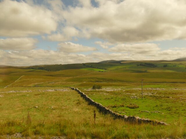
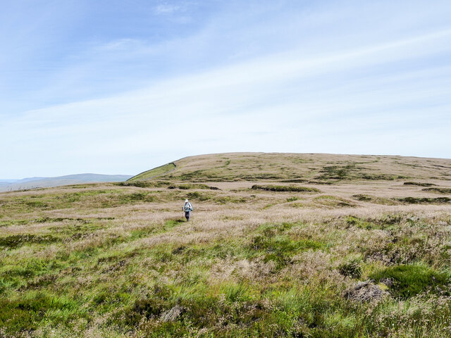
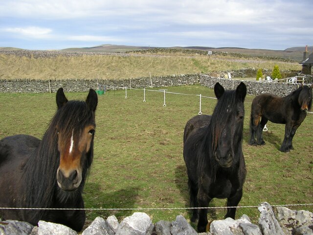
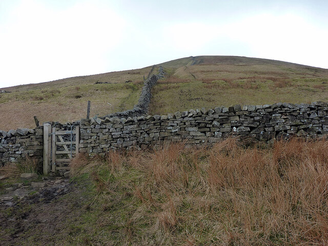
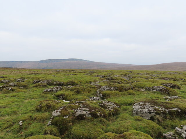
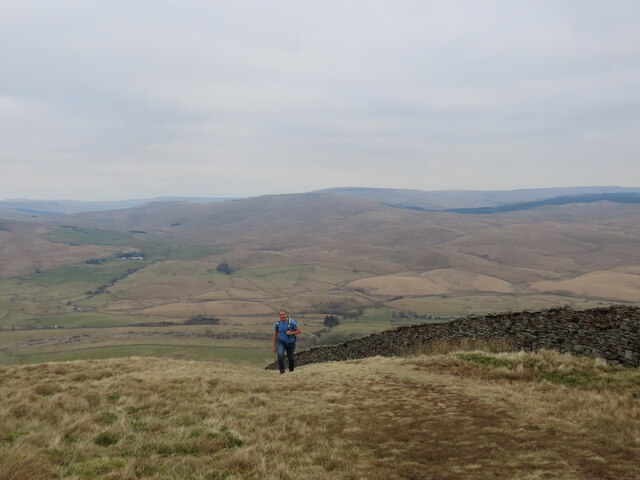
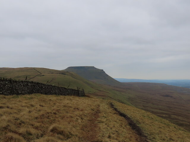
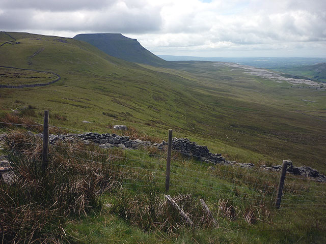
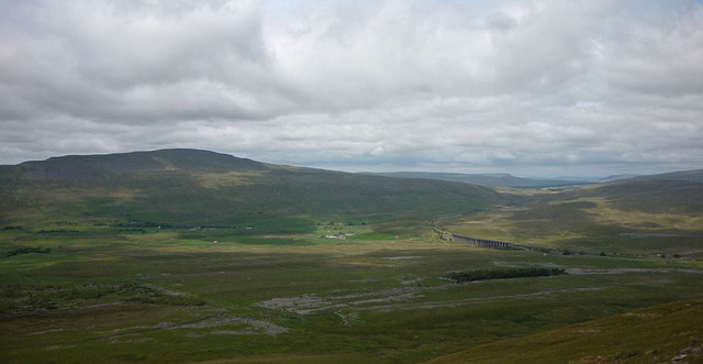
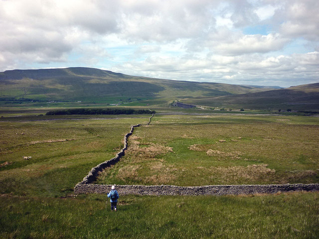
Whit-a-Green is a haven for outdoor enthusiasts, with numerous walking and hiking trails crisscrossing the surrounding countryside. The Yorkshire Downs, with their panoramic views, provide a perfect backdrop for exploring the area's diverse flora and fauna. The moorland, with its rugged terrain and heather-covered expanses, is a popular spot for birdwatching and nature photography.
Although a small village, Whit-a-Green boasts a strong sense of community. The locals are welcoming and friendly, often organizing events and festivals that celebrate the area's rich heritage. The village pub, The Green Inn, serves as a hub for socializing and enjoying traditional Yorkshire cuisine.
Visitors to Whit-a-Green can also explore nearby attractions such as the historic Whit-a-Green Manor, a stately home dating back to the 17th century. The estate's well-preserved gardens are a must-see for garden enthusiasts.
In summary, Whit-a-Green is a hidden gem in Yorkshire, offering a peaceful escape from the hustle and bustle of city life. Its stunning natural surroundings, warm community spirit, and rich history make it a truly enchanting destination for travelers seeking a slice of quintessential English countryside.
If you have any feedback on the listing, please let us know in the comments section below.
Whit-a-Green Images
Images are sourced within 2km of 54.179156/-2.3498831 or Grid Reference SD7775. Thanks to Geograph Open Source API. All images are credited.


Whit-a-Green is located at Grid Ref: SD7775 (Lat: 54.179156, Lng: -2.3498831)
Division: West Riding
Administrative County: North Yorkshire
District: Craven
Police Authority: North Yorkshire
What 3 Words
///forced.skillet.incursion. Near Ingleton, North Yorkshire
Nearby Locations
Related Wikis

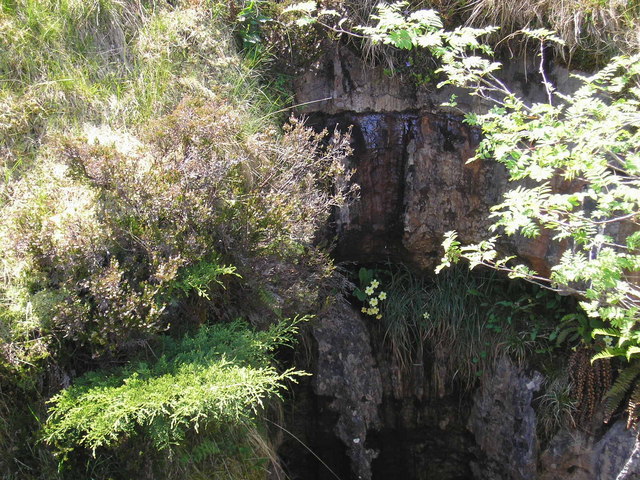
Alum Pot
Alum Pot is a pothole with a large open shaft at a surface elevation of 343 metres (1,125 ft) on the eastern flanks of Simon Fell, North Yorkshire, England...

Selside, North Yorkshire
Selside is a small village in Ribblesdale in North Yorkshire, England. It lies 2 miles (3 km) north west of Horton in Ribblesdale. Selside was mentioned...

Simon Fell (Yorkshire Dales)
Simon Fell is a subsidiary summit on the north east ridge of Ingleborough, a mountain in the Yorkshire Dales in Northern England. With a height of 650...

Ribblehead Quarry
Ribblehead Quarry is a former limestone quarry next to Ribblehead railway station in the Yorkshire Dales National Park, North Yorkshire, England. It had...
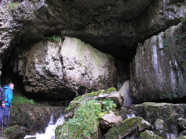
Great Douk Cave
Great Douk Cave is a shallow cave system lying beneath the limestone bench of Ingleborough in Chapel-le-Dale, North Yorkshire, England. It is popular with...
Juniper Gulf
Juniper Gulf is a pit cave in on the side of Ingleborough in Yorkshire, England. It is a popular single rope technique (SRT) trip for cavers, especially...

High Birkwith
High Birkwith is a hamlet in the Craven district of North Yorkshire, England. It is located north of the village of Horton in Ribblesdale and in the same...

Ribblehead railway station
Ribblehead is a railway station on the Settle and Carlisle Line, which runs between Carlisle and Leeds via Settle. The station, situated 52 miles 17 chains...
Nearby Amenities
Located within 500m of 54.179156,-2.3498831Have you been to Whit-a-Green?
Leave your review of Whit-a-Green below (or comments, questions and feedback).