Brand Green
Downs, Moorland in Herefordshire
England
Brand Green
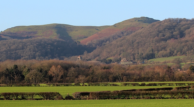
Brand Green is a picturesque area located in the county of Herefordshire, England. Situated amidst the idyllic landscape of the Downs and Moorland, this region offers a stunning combination of natural beauty and rural charm.
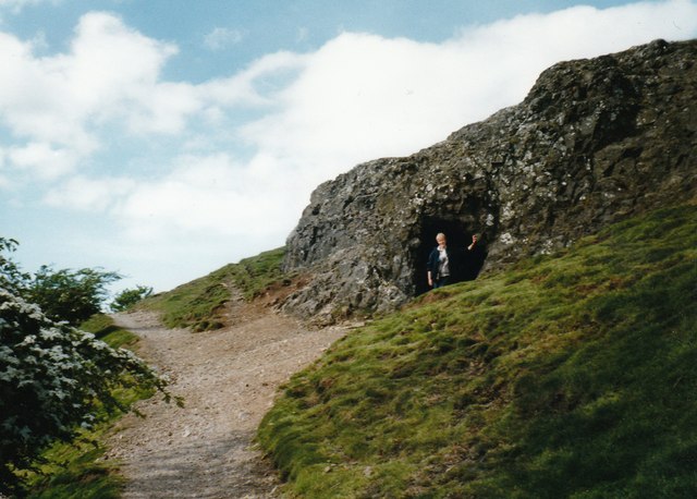
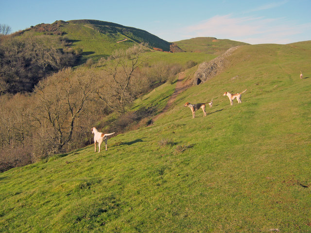
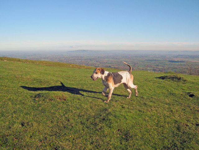
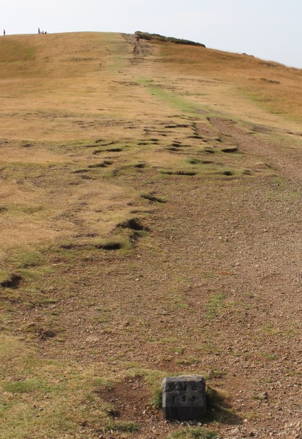
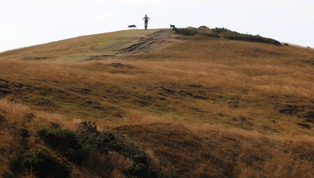
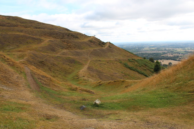
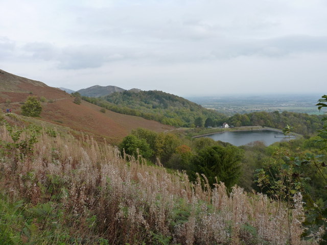
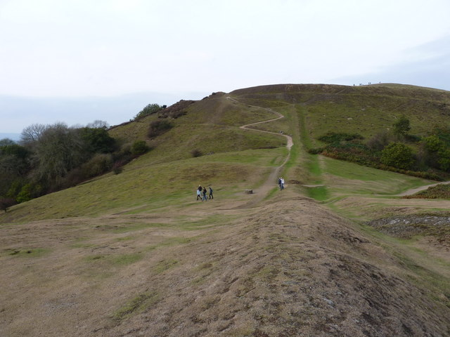
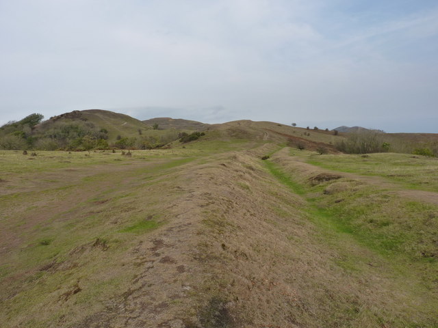
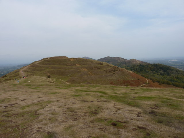
The Downs of Brand Green are characterized by gently rolling hills and expansive meadows, creating a serene and peaceful environment. The lush greenery of the landscape is dotted with grazing cattle and sheep, adding to the area's rustic appeal. The panoramic views from the Downs are truly breathtaking, with the undulating terrain stretching out as far as the eye can see, creating a sense of tranquility and escape from the hustle and bustle of modern life.
Adjacent to the Downs lies the Moorland of Brand Green, which boasts a unique ecosystem and an abundance of wildlife. This heathland is covered in heather and gorse, providing a vibrant burst of color to the landscape. It is home to a variety of bird species, including skylarks and kestrels, making it a popular spot for birdwatching enthusiasts.
Brand Green is also known for its quaint villages and historic architecture. Charming cottages with thatched roofs, traditional pubs, and ancient churches can be found scattered throughout the area, adding to its timeless appeal. The local community takes great pride in preserving the heritage and character of the region, making it a welcoming destination for visitors seeking an authentic rural experience.
Overall, Brand Green offers a glimpse into the untouched beauty of the English countryside, with its Downs and Moorland providing a haven for nature lovers and those looking to unwind amidst stunning surroundings.
If you have any feedback on the listing, please let us know in the comments section below.
Brand Green Images
Images are sourced within 2km of 52.068917/-2.3477156 or Grid Reference SO7641. Thanks to Geograph Open Source API. All images are credited.


Brand Green is located at Grid Ref: SO7641 (Lat: 52.068917, Lng: -2.3477156)
Unitary Authority: County of Herefordshire
Police Authority: West Mercia
What 3 Words
///elsewhere.scans.dance. Near Great Malvern, Worcestershire
Nearby Locations
Related Wikis

St Wulstan's Roman Catholic Church
St Wulstan's Roman Catholic Church, Little Malvern, Worcestershire, England is a Benedictine parish church administered by the monks of Downside Abbey...

Pinnacle Hill
Pinnacle Hill is situated in the range of Malvern Hills in England, running about 13 kilometres (8 mi) north-south along the Herefordshire-Worcestershire...

Colwall Park Racecourse
Colwall Park Racecourse was a British horse racing venue which operated from 1900 to 1939. It was known as one of England’s prettiest racecourses.The course...

Little Malvern
Little Malvern is a small village and civil parish in Worcestershire, England. It is situated on the lower slopes of the Malvern Hills, south of Malvern...

Abbey College, Malvern
Abbey College in Malvern, Worcestershire, England, is a small boarding school providing secondary education to a diverse and international student body...
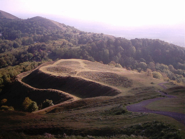
Herefordshire Beacon
The Herefordshire Beacon is one of the highest peaks of the Malvern Hills. It is surrounded by a British Iron Age hill fort earthwork known as British...

British Camp
British Camp is an Iron Age hill fort located at the top of Herefordshire Beacon in the Malvern Hills. The hill fort is protected as a Scheduled Ancient...

The Elms School, Colwall
The Elms School is a co-educational private boarding prep school located in Colwall, Herefordshire, England. Including the Early Years and Pre-Prep departments...
Nearby Amenities
Located within 500m of 52.068917,-2.3477156Have you been to Brand Green?
Leave your review of Brand Green below (or comments, questions and feedback).