Snipe Moor
Downs, Moorland in Dorset
England
Snipe Moor
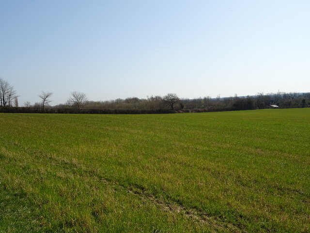
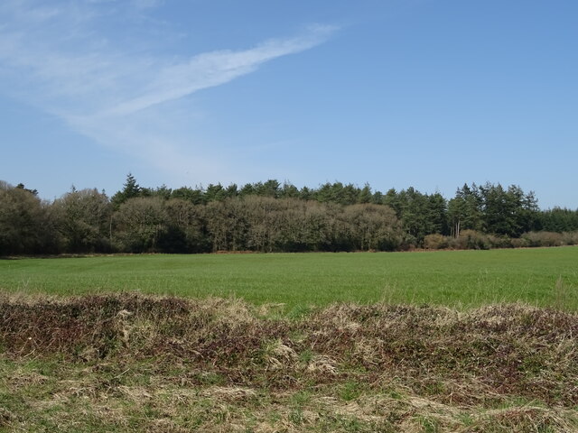
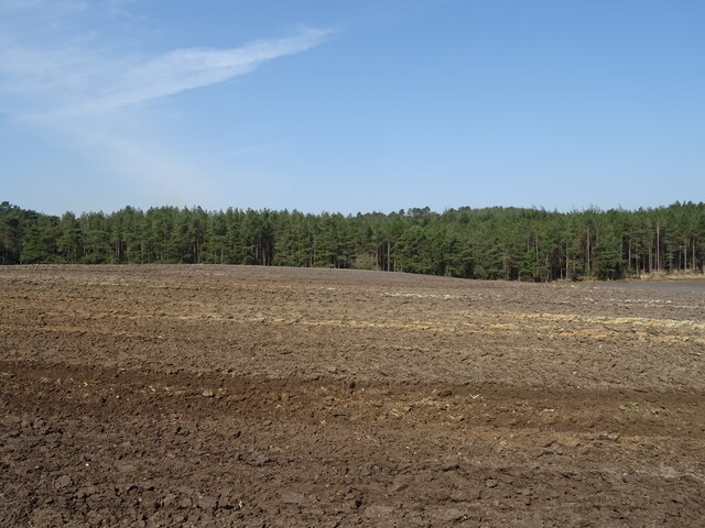
Snipe Moor is a picturesque area located in the county of Dorset, England. Known for its tranquil and unspoiled surroundings, it is an ideal destination for nature enthusiasts and those seeking a peaceful retreat. Situated within the Dorset Downs, Snipe Moor encompasses vast expanses of moorland, offering visitors a unique and diverse landscape to explore.
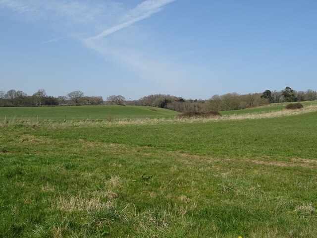
The moorland of Snipe Moor is characterized by its rolling hills, heather-covered slopes, and scattered patches of woodland. It is home to a wide variety of flora and fauna, including rare plant species and an abundance of birdlife. The area is particularly renowned for its populations of snipe, after which the moor is named, as well as other waterfowl and wading birds.
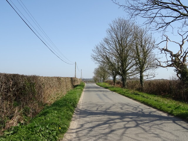
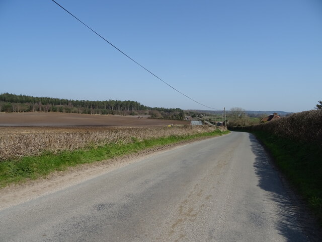
Walking and hiking are popular activities in Snipe Moor, with numerous trails and footpaths crisscrossing the area. These routes allow visitors to fully immerse themselves in the natural beauty of the moorland and enjoy stunning panoramic views of the surrounding countryside.
In addition to its natural wonders, Snipe Moor also boasts a rich historical heritage. The remains of ancient settlements, burial mounds, and other archaeological sites can be found scattered across the moor, providing insights into the area's past.
Snipe Moor is a haven for wildlife, a paradise for nature lovers, and a place of serenity and tranquility. Whether you are seeking outdoor adventure, a peaceful stroll, or a chance to connect with nature, Snipe Moor offers something for everyone.
If you have any feedback on the listing, please let us know in the comments section below.
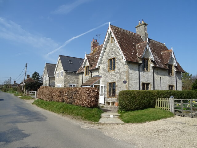
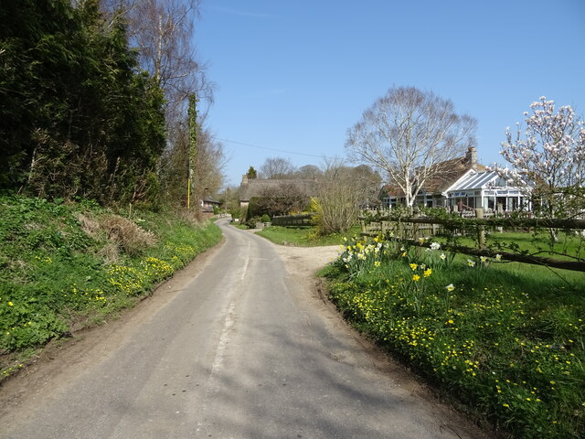
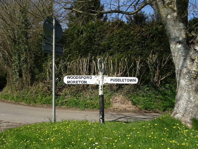
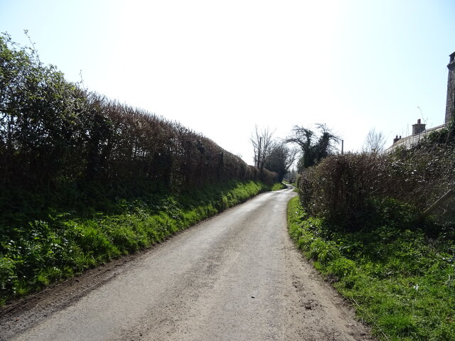
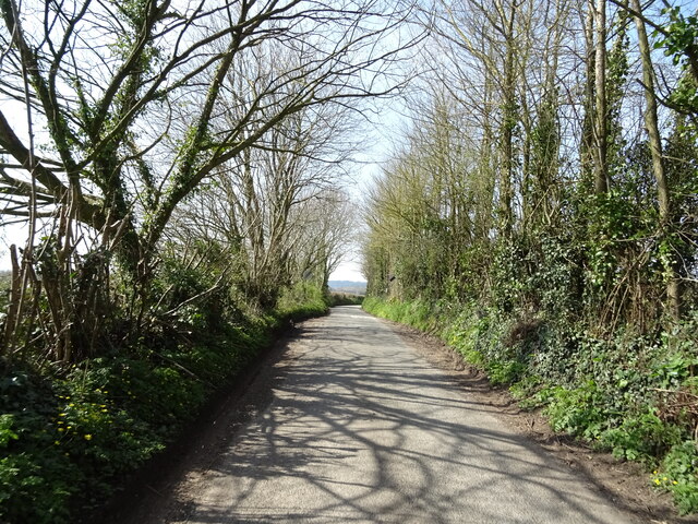
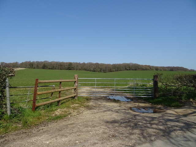
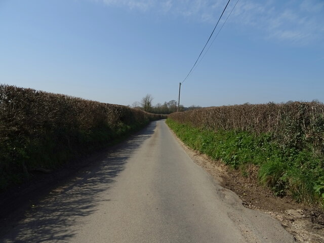
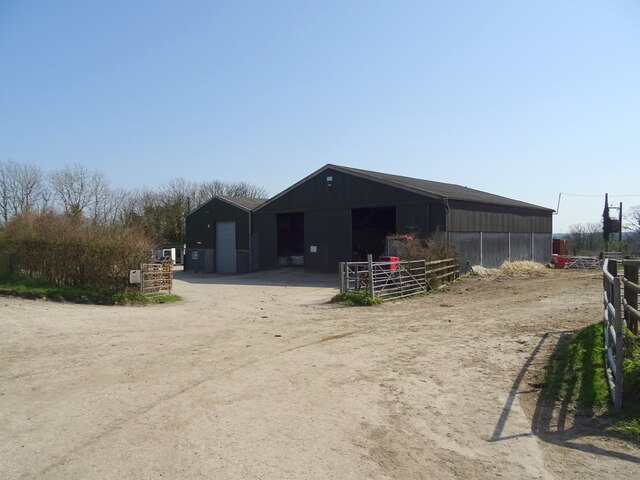
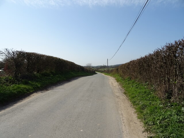
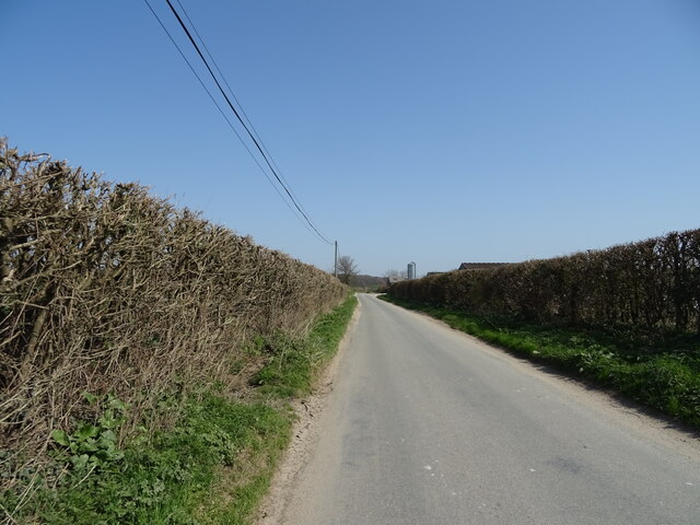
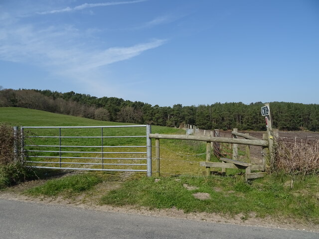
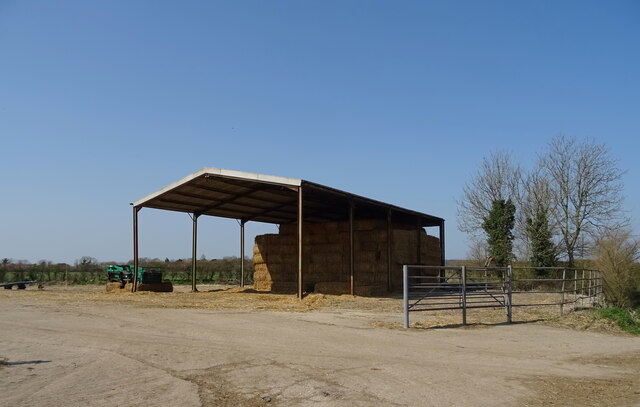
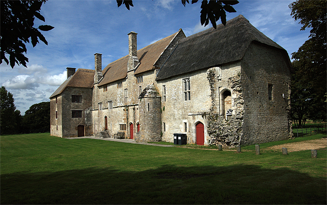
Snipe Moor Images
Images are sourced within 2km of 50.722165/-2.3503383 or Grid Reference SY7591. Thanks to Geograph Open Source API. All images are credited.
Snipe Moor is located at Grid Ref: SY7591 (Lat: 50.722165, Lng: -2.3503383)
Unitary Authority: Dorset
Police Authority: Dorset
What 3 Words
///jingles.compliant.straw. Near Puddletown, Dorset
Nearby Locations
Related Wikis
Woodsford
Woodsford is a village and civil parish beside the River Frome, Dorset, England, about 4 miles (6.4 km) east of the county town Dorchester. Dorset County...

Tincleton
Tincleton is a village and civil parish in the county of Dorset in southern England. It is situated near the River Frome, approximately 5 miles (8.0 km...

St John's Church, Tincleton
St John's Church is a Church of England church in Tincleton, Dorset, England. It was designed by Benjamin Ferrey and built in 1849–50. The church has been...

Thomas Hardy's Cottage
Thomas Hardy's Cottage, in Higher Bockhampton, Dorset, is a small cob and thatch building that is the birthplace of the English author Thomas Hardy. He...
Nearby Amenities
Located within 500m of 50.722165,-2.3503383Have you been to Snipe Moor?
Leave your review of Snipe Moor below (or comments, questions and feedback).