Bathview Park
Downs, Moorland in Somerset
England
Bathview Park
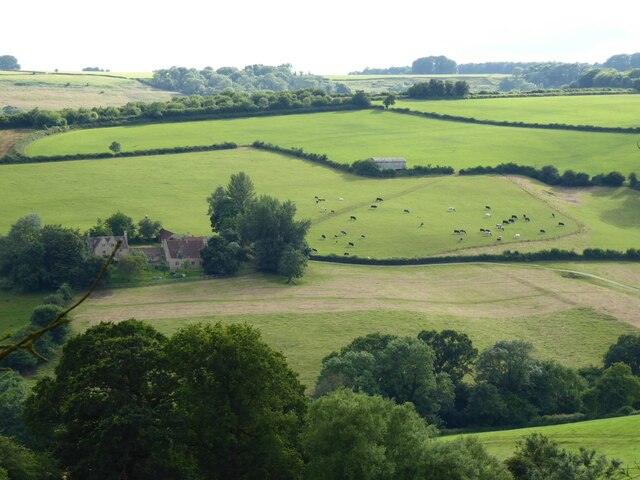
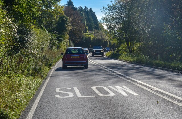
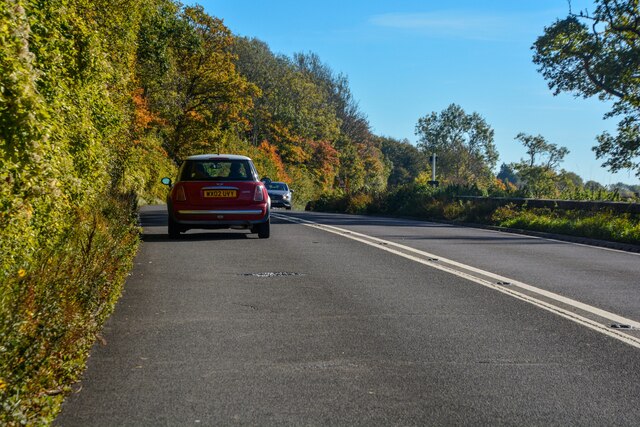
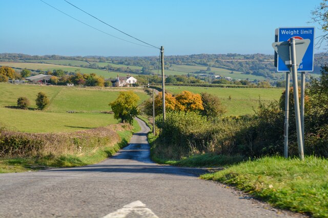
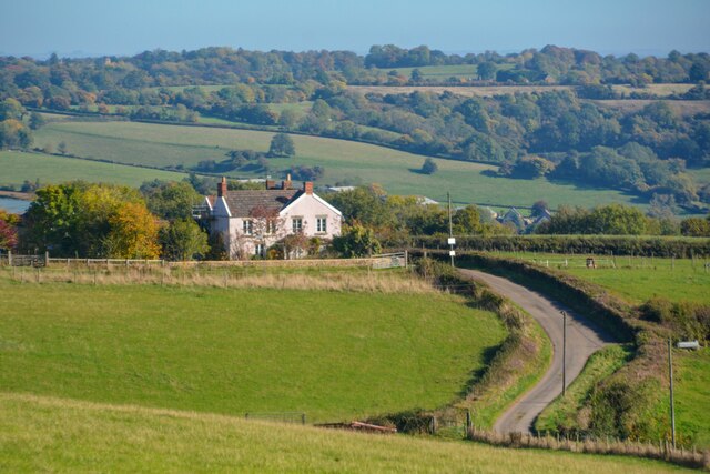
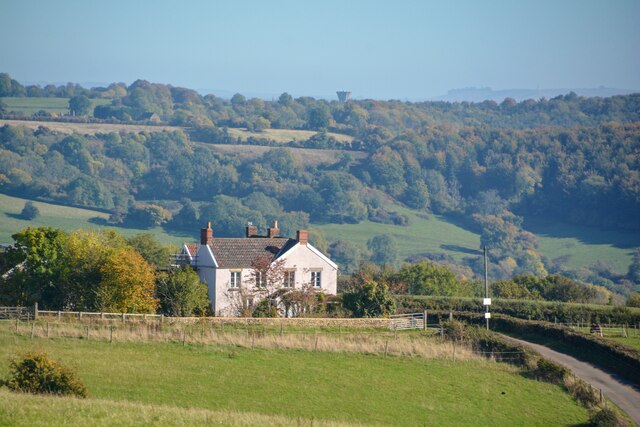
Bathview Park is a stunning area located in Somerset, England. Situated on the edge of the Mendip Hills, this park offers visitors breathtaking views of the surrounding countryside, including both downs and moorland.
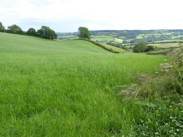
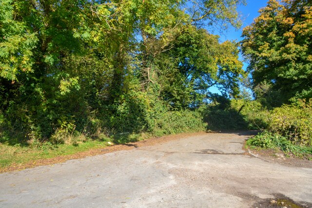
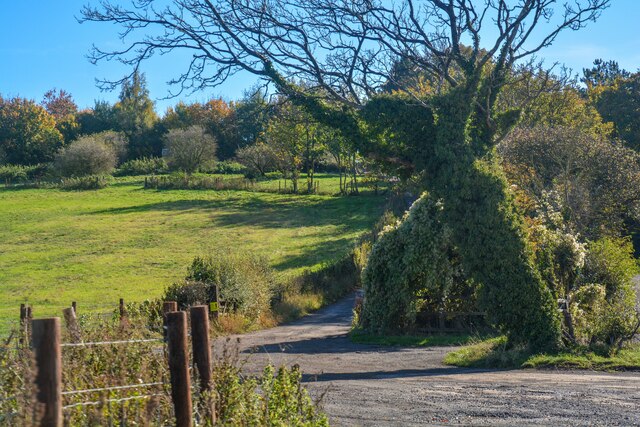
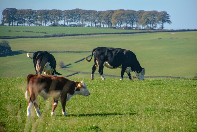
Covering an extensive area, Bathview Park is a haven for nature enthusiasts and outdoor lovers. The downs, characterized by their rolling hills and open grasslands, provide a picturesque setting for leisurely walks and picnics. The vibrant colors of the wildflowers that bloom in the downs during the spring and summer months create a stunning backdrop for visitors.
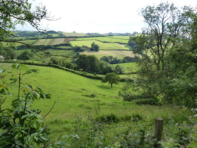
In contrast, the moorland section of the park offers a more rugged and untamed landscape. Visitors can explore the wild beauty of this area, with its heather-covered hills and rocky outcrops. The moorland is also home to a variety of wildlife, including birds, small mammals, and even the occasional deer, making it a haven for nature enthusiasts and birdwatchers.
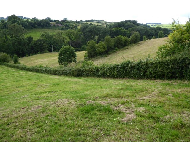
Bathview Park provides ample opportunities for outdoor activities. Hiking and walking trails crisscross the area, allowing visitors to explore the park at their own pace. Additionally, the park is a popular spot for cycling, with its varied terrain providing a challenge for both casual riders and more experienced cyclists.
Overall, Bathview Park is a true gem in Somerset, offering visitors the chance to immerse themselves in the natural beauty of the downs and moorland. With its stunning views, diverse wildlife, and range of outdoor activities, this park is a must-visit for anyone looking to experience the best of Somerset's countryside.
If you have any feedback on the listing, please let us know in the comments section below.
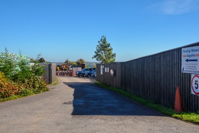
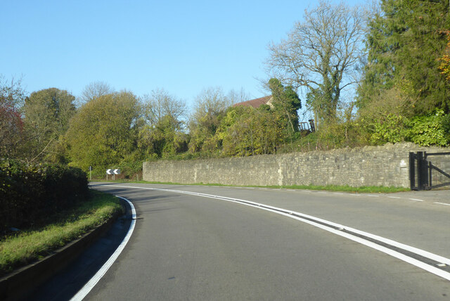
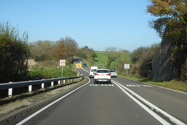
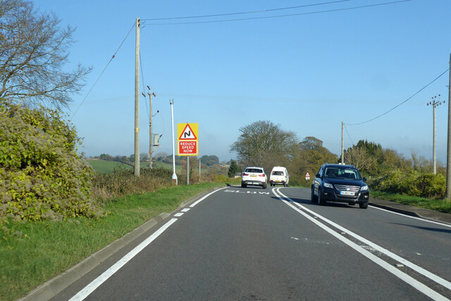
Bathview Park Images
Images are sourced within 2km of 51.42957/-2.3557541 or Grid Reference ST7570. Thanks to Geograph Open Source API. All images are credited.


Bathview Park is located at Grid Ref: ST7570 (Lat: 51.42957, Lng: -2.3557541)
Unitary Authority: Bath and North East Somerset
Police Authority: Avon and Somerset
What 3 Words
///truckload.frames.wiring. Near Cold Ashton, Gloucestershire
Nearby Locations
Related Wikis

RAF Charmy Down
Royal Air Force Charmy Down or more simply RAF Charmy Down is a former Royal Air Force station in Somerset, England, approximately 3 miles (4.8 km) north...

Monkswood Valley
Monkswood Valley (grid reference ST754710) is a 30.7-hectare biological Site of Special Scientific Interest (SSSI) near the village of Cold Ashton, South...

Ashcombe House, Somerset
Ashcombe House at Swainswick, north-east of Bath in Somerset, England is a Gothic revival country house. It is a Grade II listed building. Ashcombe House...

St Mary Magdalene's Church, Langridge
St Mary Magdalene's Church at Langridge in the parish of Charlcombe, Somerset, England dates from the 12th century and has been designated as a Grade I...
Nearby Amenities
Located within 500m of 51.42957,-2.3557541Have you been to Bathview Park?
Leave your review of Bathview Park below (or comments, questions and feedback).