Ilsington Heath
Downs, Moorland in Dorset
England
Ilsington Heath
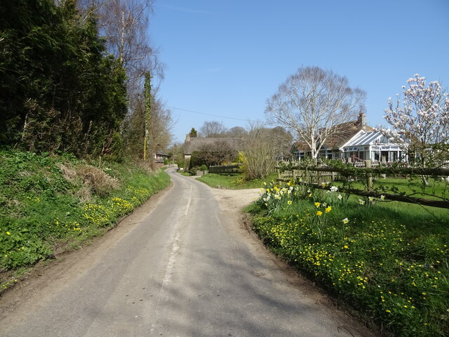
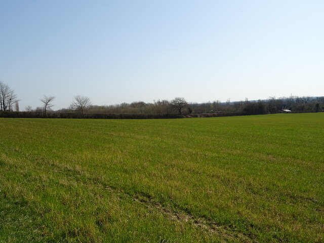
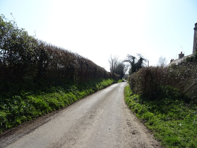
Ilsington Heath, located in the county of Dorset, England, is a breathtaking expanse of diverse natural landscapes encompassing downs and moorland. Stretching over an area of approximately 5 square kilometers, this heathland is a designated Site of Special Scientific Interest (SSSI), highlighting its ecological importance and unique characteristics.
The heath is situated within the broader region of the Dorset Area of Outstanding Natural Beauty (AONB), known for its outstanding landscapes, rich biodiversity, and cultural heritage. Ilsington Heath, in particular, offers a striking contrast between its gently rolling downs and its wild, rugged moorland.
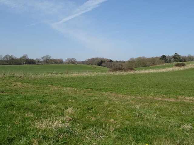
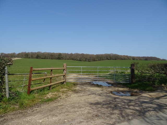
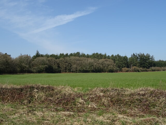
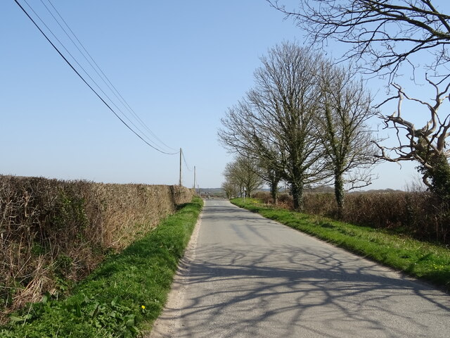
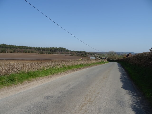
The downs of Ilsington Heath feature undulating hills covered in short grasses and scattered trees, providing a picturesque setting for visitors. These open spaces are home to a variety of flora and fauna, including heather, gorse, and grassland birds such as skylarks and meadow pipits.
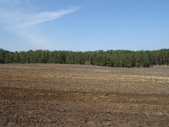
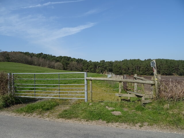
On the other hand, the moorland section of the heath showcases a more rugged terrain, characterized by its heathland vegetation, including ling heather, bell heather, and bracken. This moorland habitat is essential for several bird species, including the endangered European nightjar, which nests and forages in the area.
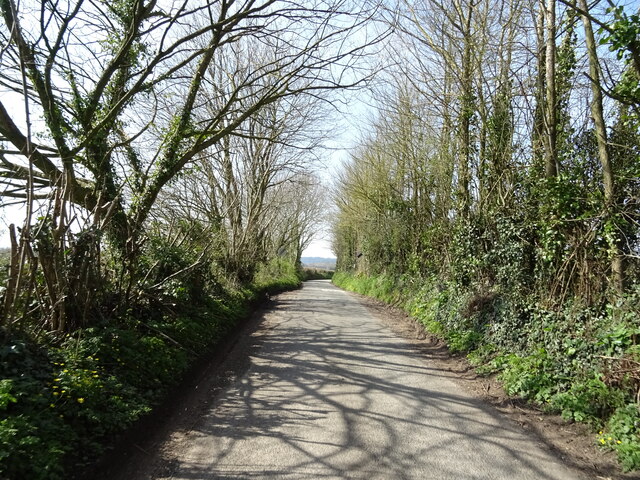
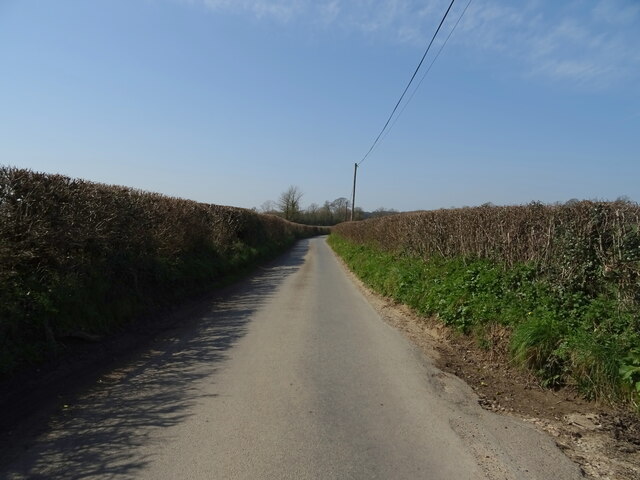
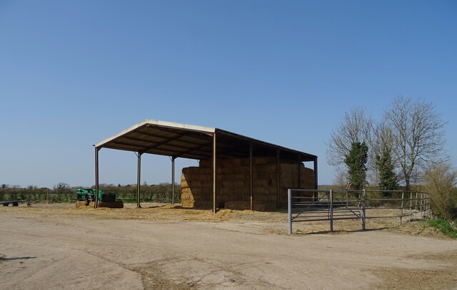
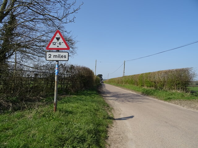
Visitors to Ilsington Heath can explore the numerous walking trails that crisscross the landscape, offering stunning panoramic views and opportunities to observe the diverse wildlife. The heath also provides a peaceful retreat for nature enthusiasts, photographers, and those seeking solace in the tranquility of the countryside.
Overall, Ilsington Heath in Dorset is a remarkable natural gem, offering a unique blend of downs and moorland, showcasing the beauty and biodiversity that the region has to offer.
If you have any feedback on the listing, please let us know in the comments section below.
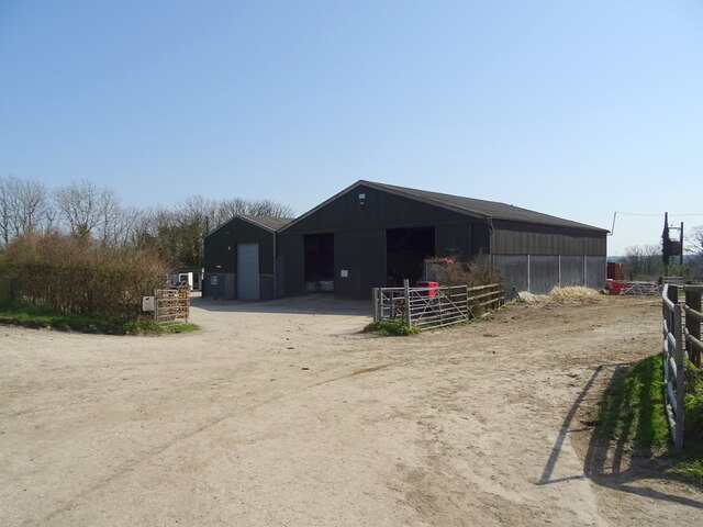
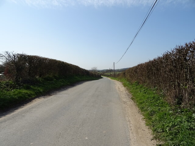
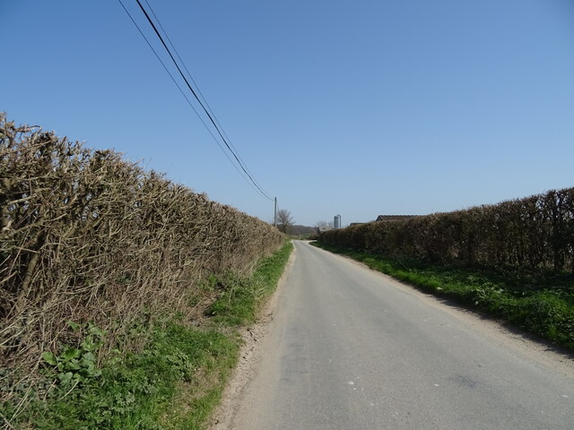
Ilsington Heath Images
Images are sourced within 2km of 50.721102/-2.3539711 or Grid Reference SY7591. Thanks to Geograph Open Source API. All images are credited.
Ilsington Heath is located at Grid Ref: SY7591 (Lat: 50.721102, Lng: -2.3539711)
Unitary Authority: Dorset
Police Authority: Dorset
What 3 Words
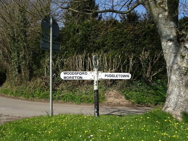
///afterglow.inert.folders. Near Puddletown, Dorset
Nearby Locations
Related Wikis
Woodsford
Woodsford is a village and civil parish beside the River Frome, Dorset, England, about 4 miles (6.4 km) east of the county town Dorchester. Dorset County...

Tincleton
Tincleton is a village and civil parish in the county of Dorset in southern England. It is situated near the River Frome, approximately 5 miles (8.0 km...

St John's Church, Tincleton
St John's Church is a Church of England church in Tincleton, Dorset, England. It was designed by Benjamin Ferrey and built in 1849–50. The church has been...

Thomas Hardy's Cottage
Thomas Hardy's Cottage, in Higher Bockhampton, Dorset, is a small cob and thatch building that is the birthplace of the English author Thomas Hardy. He...

RAF Warmwell
Royal Air Force Warmwell or more simply RAF Warmwell is a former Royal Air Force station near Warmwell in Dorset, England from 1937 to 1946, located about...

Frome Billet
Frome Billet is a former village in Dorset, just to the north of West Stafford.It is mentioned in the Domesday Book. There is slight archaeological evidence...

Puddletown
Puddletown is a village and civil parish in Dorset, England. It is situated by the River Piddle, from which it derives its name, about 4.5 miles (7 km...
Puddletown Hundred
Puddletown Hundred was a hundred in the county of Dorset, England, containing the following parishes: Athelhampton Burleston Milborne St Andrew (part...
Nearby Amenities
Located within 500m of 50.721102,-2.3539711Have you been to Ilsington Heath?
Leave your review of Ilsington Heath below (or comments, questions and feedback).