Braes of Birkenhills

Downs, Moorland in Aberdeenshire

Scotland

Braes of Birkenhills

Old Steading Part of the old steading at East Pitdoulzie.
Old Steading Credit: Andrew Wood

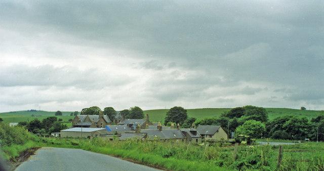
Braes of Birkenhills is a picturesque area located in Aberdeenshire, Scotland. Situated in the northeast of the country, this region is known for its stunning downs and moorland landscapes.

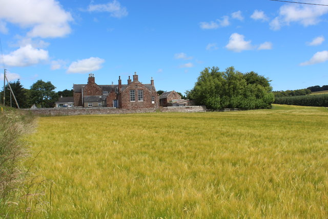
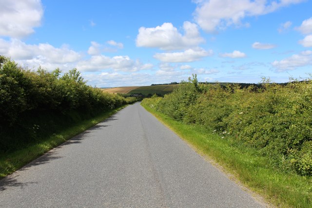
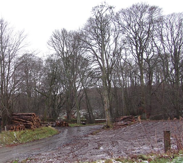
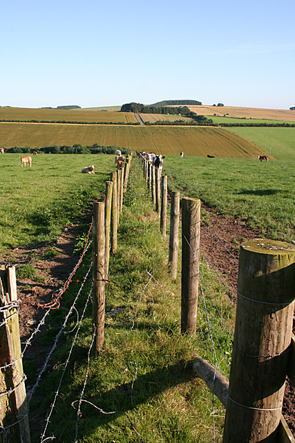
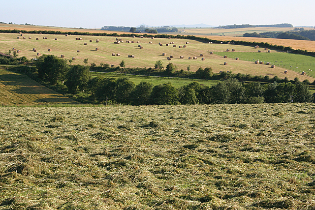
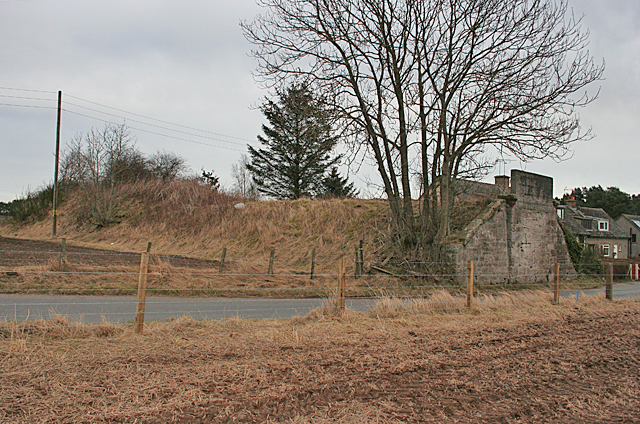
The Braes of Birkenhills offer visitors a chance to immerse themselves in the beauty of nature. The downs, characterized by rolling hills and lush greenery, provide the perfect setting for outdoor activities such as hiking, picnicking, and wildlife spotting. The moorland, with its vast expanse of heather and rocky terrain, showcases the raw and untamed beauty of the Scottish countryside.

The area is rich in flora and fauna, with a variety of plant species, including vibrant wildflowers, scattered across the downs and moorland. Visitors can also expect to encounter a range of wildlife, such as red deer, Scottish wildcats, and various bird species, including buzzards and peregrine falcons.

Braes of Birkenhills offers stunning panoramic views, especially from elevated spots, allowing visitors to appreciate the natural beauty of Aberdeenshire. The area is often described as serene and peaceful, providing a much-needed escape from the hustle and bustle of everyday life.

In addition to its natural attractions, Braes of Birkenhills is also home to several historical landmarks. The area boasts ancient stone circles and prehistoric remains, providing an intriguing insight into its rich and diverse past.

Overall, Braes of Birkenhills is a must-visit destination for nature enthusiasts, history buffs, and anyone seeking a tranquil retreat in the heart of Aberdeenshire.

If you have any feedback on the listing, please let us know in the comments section below.

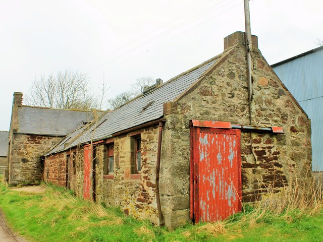
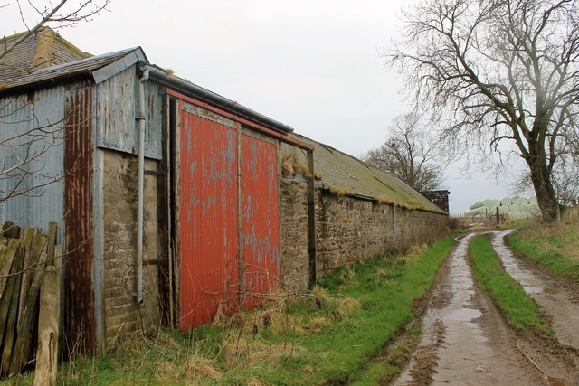
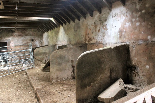
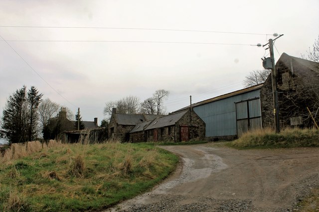
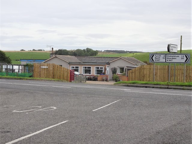
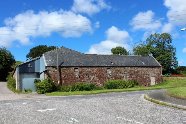
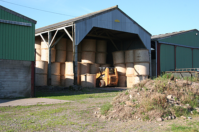
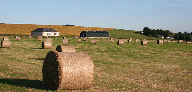
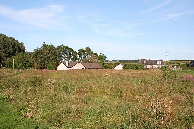
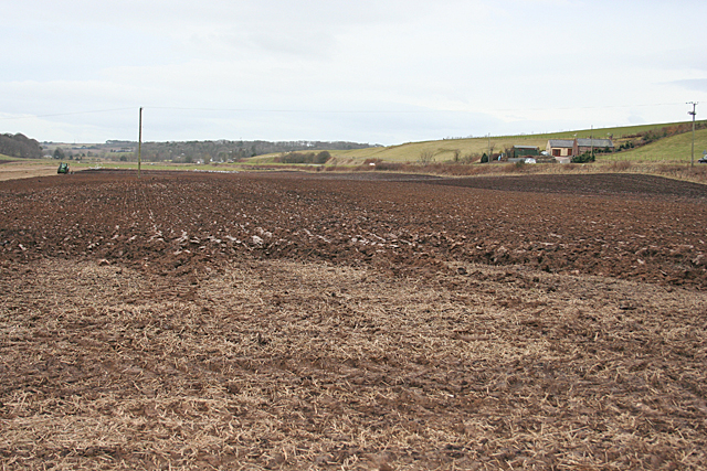
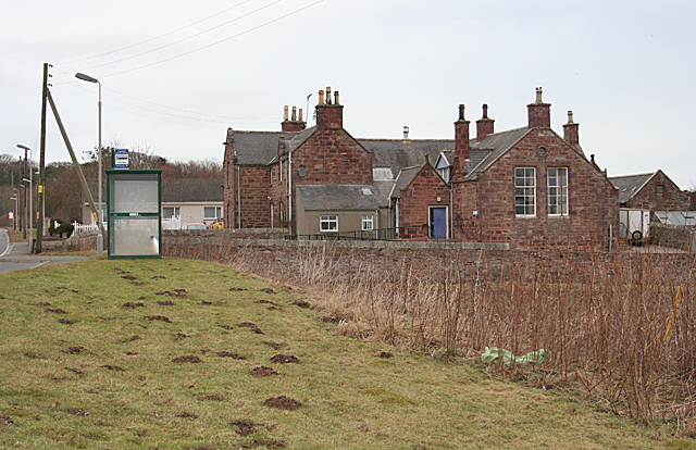
Braes of Birkenhills Images

Images are sourced within 2km of 57.500951/-2.4278284 or Grid Reference NJ7445. Thanks to Geograph Open Source API. All images are credited.

Old Steading Part of the old steading at East Pitdoulzie.
Old Steading
Part of the old steading at East Pitdoulzie.
Pitdoulzie Steading A big barn door and low buildings  alongside a muddy track at the largely disused East Pitdoulzie farm.
Pitdoulzie Steading
A big barn door and low buildings alongside a muddy track at the largely disused East Pitdoulzie farm.
Auld Byre The disused stalls of the byre at East Pitdoulzie.
Auld Byre
The disused stalls of the byre at East Pitdoulzie.
East Pitdoulzie The approach to the sad and neglected farm of East Pitdoulzie. The farmland is leased out and the corporate owners have little use for the old steading.
East Pitdoulzie
The approach to the sad and neglected farm of East Pitdoulzie. The farmland is leased out and the corporate owners have little use for the old steading.
Auchterless railway station (site), Aberdeenshire Opened in 1857 by the Banff Macduff & Turriff Junction Railway, later part of the Great North of Scotland Railway, on the line from Inveramsay to Macduff, this station closed to passengers in 1951 and completely in 1966.
View east at the former forecourt. Behind the building was the platform, left for Turriff and Macduff, right for Fyvie and Inveramsay. The road sign also shows that the station was 3 miles from Auchterless.
Auchterless railway station (site), Aberdeenshire
Opened in 1857 by the Banff Macduff & Turriff Junction Railway, later part of the Great North of Scotland Railway, on the line from Inveramsay to Macduff, this station closed to passengers in 1951 and completely in 1966. View east at the former forecourt. Behind the building was the platform, left for Turriff and Macduff, right for Fyvie and Inveramsay. The road sign also shows that the station was 3 miles from Auchterless.
Birkenhills Farm The roadside steading of Birkenhills Farm by the A947.
Birkenhills Farm
The roadside steading of Birkenhills Farm by the A947.
Birkenhills School Seen across a field of barley this building no longer functions as a school but as a community centre.
Birkenhills School
Seen across a field of barley this building no longer functions as a school but as a community centre.
Hedgerows by Lendrum The hedge lined road between Lendrum and Birkenhills.
Hedgerows by Lendrum
The hedge lined road between Lendrum and Birkenhills.
Logs, Crow Wood Piles of logs on the edge of Crow Wood, Hatton Castle Estate.
Logs, Crow Wood
Piles of logs on the edge of Crow Wood, Hatton Castle Estate.
Northward on A947 road to site of Auchterless station at Mains of Towie The station was on the ex-GNSR branch from Inveramsay - Macduff off the Aberdeen - Elgin main line. The station here and line were closed to passengers from 1/10/51; the line was closed to goods Turriff - Macduff from 1/8/61, Inveramsay - Turriff (through Auchterless) from 3/1/66.
Northward on A947 road to site of Auchterless station at Mains of Towie
The station was on the ex-GNSR branch from Inveramsay - Macduff off the Aberdeen - Elgin main line. The station here and line were closed to passengers from 1/10/51; the line was closed to goods Turriff - Macduff from 1/8/61, Inveramsay - Turriff (through Auchterless) from 3/1/66.
Double Fence This is rather curious. The gap is too narrow to be intended as a path - anyone trying to walk through it would very likely tear their clothing or themselves or both on the barbed wire. Is it a march where the owners of either side could not agree to share the cost and upkeep of the usual single fence?
Double Fence
This is rather curious. The gap is too narrow to be intended as a path - anyone trying to walk through it would very likely tear their clothing or themselves or both on the barbed wire. Is it a march where the owners of either side could not agree to share the cost and upkeep of the usual single fence?
Haymaking Or perhaps silage-making. The grass in the nearer field has not long been cut, and that in the distant field is baled ready for collection.
Haymaking
Or perhaps silage-making. The grass in the nearer field has not long been cut, and that in the distant field is baled ready for collection.
Bales in Storage Presumably this year's new bales, safely under cover where they won't get rained on, at Lescraigie.
Bales in Storage
Presumably this year's new bales, safely under cover where they won't get rained on, at Lescraigie.
New House near Woodend The house on the left isn't on the 1:50,000 map, but it is on the large-scale online map. Woodend is among the trees at right.
New House near Woodend
The house on the left isn't on the 1:50,000 map, but it is on the large-scale online map. Woodend is among the trees at right.
New Houses For a long time planning rules made it very difficult to build new in the countryside, but restrictions were relaxed some time ago and new houses, in groups and alone, are springing up all over the place. This cluster of houses is not named on the maps.
New Houses
For a long time planning rules made it very difficult to build new in the countryside, but restrictions were relaxed some time ago and new houses, in groups and alone, are springing up all over the place. This cluster of houses is not named on the maps.
Ploughing at Birkenhills According to the maps, the railway line used to run on an embankment through this field, which is in process of being ploughed, but all trace of the embankment has vanished.
Ploughing at Birkenhills
According to the maps, the railway line used to run on an embankment through this field, which is in process of being ploughed, but all trace of the embankment has vanished.
Remains of Railway Bridge Since <a href="https://www.geograph.org.uk/photo/307114">NJ7445 : Remains of railway bridge at Birkenhills.</a> and <a href="https://www.geograph.org.uk/photo/2092314">NJ7445 : Dismantled railway bridge, Birkenhills</a> were taken 8 and 4½ years ago respectively, the south abutment of the railway bridge has been completely demolished, but the north abutment and the embankment to the north of it still survive,
Remains of Railway Bridge
Since NJ7445 : Remains of railway bridge at Birkenhills. and NJ7445 : Dismantled railway bridge, Birkenhills were taken 8 and 4½ years ago respectively, the south abutment of the railway bridge has been completely demolished, but the north abutment and the embankment to the north of it still survive,
Birkenhills School The red sandstone building is no longer in use as a school, but there is a sign on the nearest door describing it as Birkenhills Community Centre. The place seems to be popular with moles.
Birkenhills School
The red sandstone building is no longer in use as a school, but there is a sign on the nearest door describing it as Birkenhills Community Centre. The place seems to be popular with moles.
Show me another place!

Braes of Birkenhills is located at Grid Ref: NJ7445 (Lat: 57.500951, Lng: -2.4278284)

Unitary Authority: Aberdeenshire

Police Authority: North East

What 3 Words

///decking.orders.troubled. Near Turriff, Aberdeenshire

Nearby Locations

Braes of Birkenhills

Related Wikis

Nearby Amenities

Located within 500m of 57.500951,-2.4278284
Birkenhills
Place: hamlet
Lat/Long: 57.5000832/-2.4234885
Post Box
Collection Times: Mo-Sa 11:45
Operator: Royal Mail
Post Box Mounting: telegraph_pole
Post Box Type: lamp
Ref: AB53 22
Royal Cypher: scottish_crown
Lat/Long: 57.5019018/-2.4217915
Power: pole
Lat/Long: 57.5050336/-2.42846
Power: pole
Lat/Long: 57.5003618/-2.430926
Power: pole
Lat/Long: 57.5011397/-2.4309726
Power: pole
Lat/Long: 57.5018449/-2.4310001
Power: pole
Lat/Long: 57.5025761/-2.4310467
Power: pole
Lat/Long: 57.5031732/-2.4305768
Power: pole
Lat/Long: 57.5037384/-2.4301238
Power: pole
Lat/Long: 57.5043775/-2.4293004
Power: pole
Lat/Long: 57.4983499/-2.4214028
Power: pole
Lat/Long: 57.4986217/-2.4227321
Power: pole
Lat/Long: 57.4986808/-2.4230094
Power: pole
Lat/Long: 57.4988651/-2.4238794
Power: pole
Lat/Long: 57.4990903/-2.4248785
Power: pole
Lat/Long: 57.499378/-2.426229
Power: pole
Lat/Long: 57.4996351/-2.4274038
Power: pole
Lat/Long: 57.4998944/-2.4285764
Power: pole
Lat/Long: 57.5001526/-2.4297639
Power: pole
Lat/Long: 57.5006268/-2.4318553
Power: pole
Lat/Long: 57.5009066/-2.4331084
Power: pole
Lat/Long: 57.5007599/-2.4342536
Power: pole
Lat/Long: 57.5006132/-2.4354559
Power: pole
Lat/Long: 57.4992404/-2.4233862
Power: pole
Lat/Long: 57.4996157/-2.4228951
Power: pole
Lat/Long: 57.4999922/-2.4225395
Bus Stop
Lendrum Junction
Bench: yes
Bin: no
Bus: yes
Lit: yes
Naptan AtcoCode: 630022692
Naptan Bearing: S
Naptan CommonName: Lendrum Junction
Naptan Indicator: at
Naptan NaptanCode: 23624893
Naptan Street: A947
Naptan Verified: no
Public Transport: platform
Shelter: yes
Source: naptan;bing;naptan_compare_tool
Tactile Paving: no
Lat/Long: 57.5003076/-2.4219224
Bus Stop
Lendrum Junction
Bus: yes
Naptan AtcoCode: 630022691
Naptan Bearing: N
Naptan CommonName: Lendrum Junction
Naptan Indicator: opp
Naptan NaptanCode: 23624892
Naptan Street: A947
Naptan Verified: no
Public Transport: platform
Shelter: yes
Source: naptan;bing;naptan_compare_tool
Lat/Long: 57.4996198/-2.4226213
The data included in this document is from www.openstreetmap.org. The data is made available under ODbL.

Have you been to Braes of Birkenhills?

Leave your review of Braes of Birkenhills below (or comments, questions and feedback).