Harry Hallam's Moss
Downs, Moorland in Yorkshire Craven
England
Harry Hallam's Moss
Harry Hallam's Moss is a picturesque and diverse area located in Yorkshire, England. Spread across the region, this unique landscape encompasses both the Yorkshire Downs and Moorland, creating a captivating blend of natural beauty and ecological diversity.
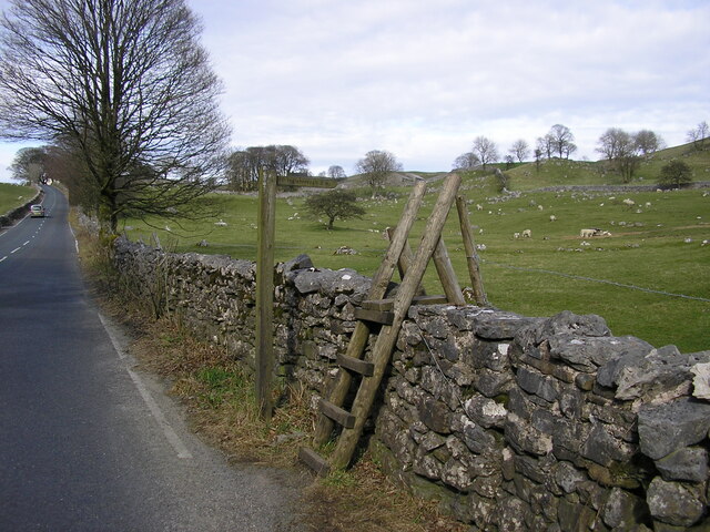
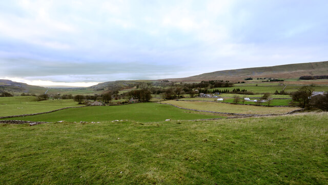
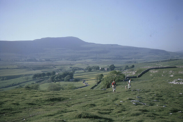
The Yorkshire Downs portion of Harry Hallam's Moss is characterized by gently rolling hills, lush green meadows, and vast stretches of open countryside. This idyllic setting is home to a variety of flora and fauna, including wildflowers, grasses, and grazing livestock such as sheep and cattle. The Downs also offer breathtaking panoramic views of the surrounding countryside, making it a popular destination for hikers, nature enthusiasts, and photographers.
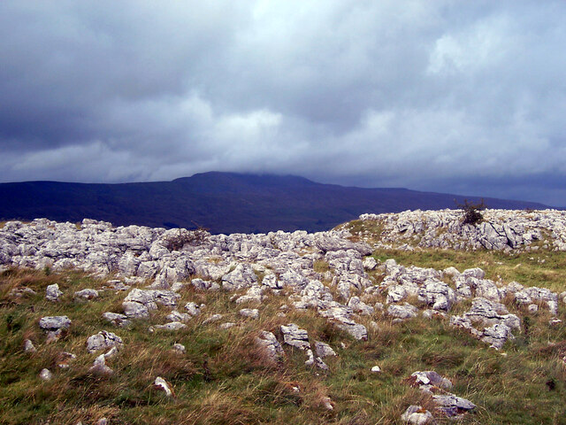
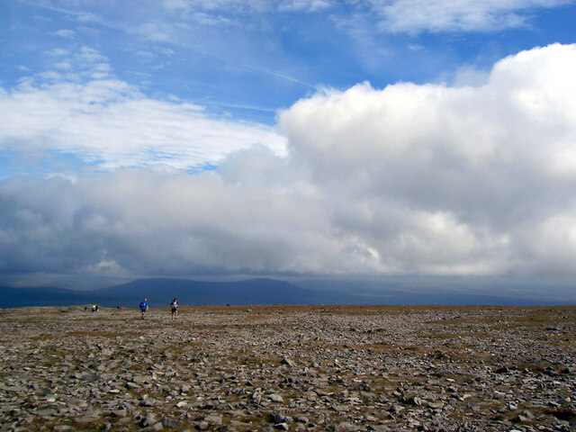
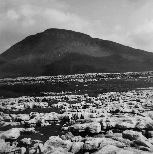
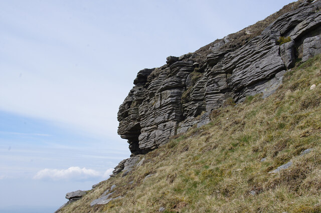
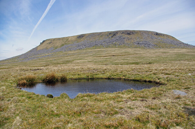
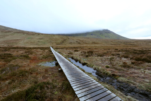
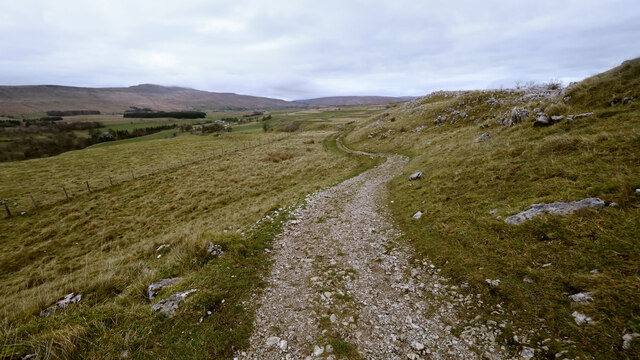
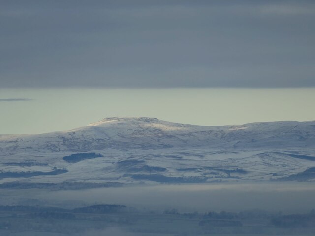
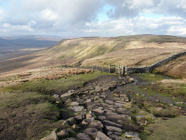
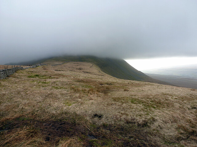
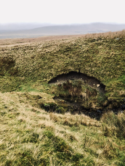
Moving into the Moorland section of Harry Hallam's Moss, the landscape takes on a more rugged and dramatic appearance. Here, visitors can explore vast expanses of heather-covered hillsides, dotted with rocky outcrops and winding streams. Moorland birds, such as grouse and curlew, can often be spotted in this area, adding to the natural charm and tranquility of the surroundings.
Throughout Harry Hallam's Moss, visitors can enjoy a range of outdoor activities, including walking, cycling, and birdwatching. The area is also home to a number of charming villages and historic landmarks, providing a glimpse into the rich cultural heritage of Yorkshire.
In conclusion, Harry Hallam's Moss in Yorkshire offers a diverse and captivating landscape, encompassing both the gentle beauty of the Downs and the wild allure of Moorland. With its abundance of natural wonders and recreational opportunities, it is a must-visit destination for those seeking to immerse themselves in the beauty of the English countryside.
If you have any feedback on the listing, please let us know in the comments section below.
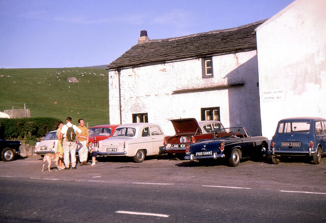
Harry Hallam's Moss Images
Images are sourced within 2km of 54.177868/-2.4052718 or Grid Reference SD7375. Thanks to Geograph Open Source API. All images are credited.

Harry Hallam's Moss is located at Grid Ref: SD7375 (Lat: 54.177868, Lng: -2.4052718)
Division: West Riding
Administrative County: North Yorkshire
District: Craven
Police Authority: North Yorkshire
What 3 Words
///yacht.hints.composers. Near Ingleton, North Yorkshire
Nearby Locations
Related Wikis

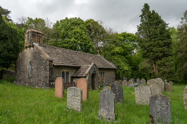
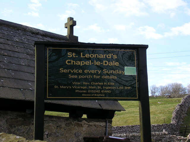
Chapel-le-Dale
Chapel-le-Dale is a hamlet in the civil parish of Ingleton, North Yorkshire, England. It is in the Yorkshire Dales National Park in a valley of the same...

Chapel-le-Dale (valley)
Chapel-le-Dale is west-facing valley in the Yorkshire Dales, England. The U-shaped valley of Chapel-le-Dale is one of the few which drain westwards towards...

Ingleborough
Ingleborough (723 m or 2,372 ft) is the second-highest mountain in the Yorkshire Dales, England. It is one of the Yorkshire Three Peaks (the other two...

Yorkshire Three Peaks
The mountains of Whernside (736 m or 2,415 ft), Ingleborough (723 m or 2,372 ft) and Pen-y-ghent (694 m or 2,277 ft) are collectively known as the Three...
Related Videos

Wild wandering- Biking and hiking Ingleborough ✌️
40 miles on the bike and a wander up Ingleborough.

Ingleborough 3 Peaks Hiking - Yorkshire Dales
Hi all, today's adventure hike comes from the Yorkshire Dales, taking on the 3 Peaks Ingleborough Mountain for a stunning hiking ...

Nearby Amenities
Located within 500m of 54.177868,-2.4052718Have you been to Harry Hallam's Moss?
Leave your review of Harry Hallam's Moss below (or comments, questions and feedback).