Meldingscale Plantation

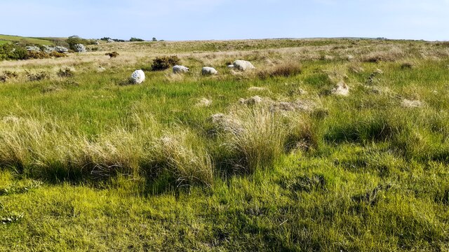
Downs, Moorland in Yorkshire Craven

England

Meldingscale Plantation

Direction Sign – Signpost on Eldroth Road, Lawkland Located on the northwest side of the T junction of Eldroth Road and Fummerber Lane in Lawkland parish. 3 arms and annulus & bar finial. See also <a title="https://www.geograph.org.uk/photo/5834757" href="https://www.geograph.org.uk/photo/5834757">Link</a> and <a title="https://www.geograph.org.uk/photo/4613723" href="https://www.geograph.org.uk/photo/4613723">Link</a>.

Milestone Society National ID: YW_SD7466A
Direction Sign – Signpost on Eldroth Road, Lawkland Credit: D Phillips

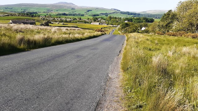
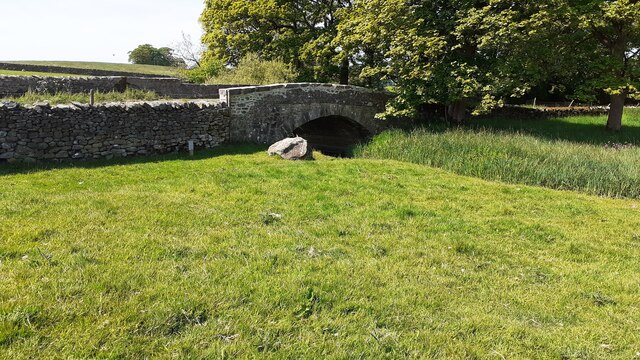
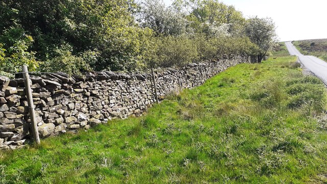
Meldingscale Plantation is a picturesque and sprawling estate located in the idyllic countryside of Yorkshire, encompassing the vast lands of the Downs and Moorland regions. Covering an impressive area of several hundred acres, this historic plantation offers a diverse and enchanting landscape that is renowned for its natural beauty and tranquility.

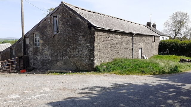
The estate is rich in a variety of plant species, with the Meldingscale Plantation serving as a sanctuary for a wide range of trees, including oak, beech, and pine. The dense and lush vegetation creates a serene and captivating environment, providing a haven for numerous species of wildlife, such as deer, rabbits, and various bird species.

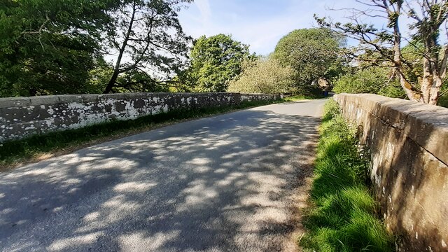
Visitors to Meldingscale Plantation can explore an extensive network of well-maintained walking trails that wind through the estate, allowing them to immerse themselves in the breathtaking scenery and soak up the peaceful atmosphere. These trails cater to all levels of hikers, offering routes of varying lengths and difficulties.

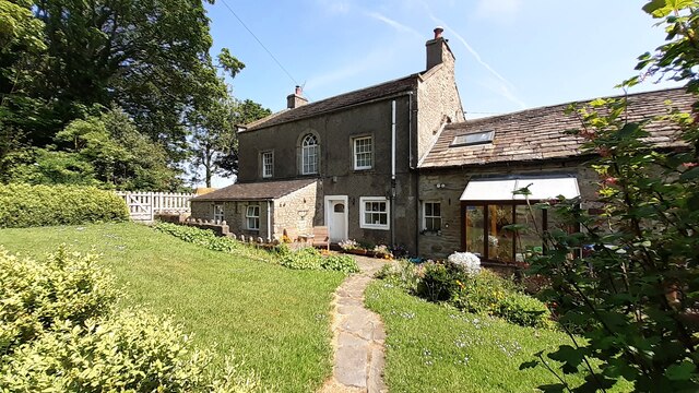
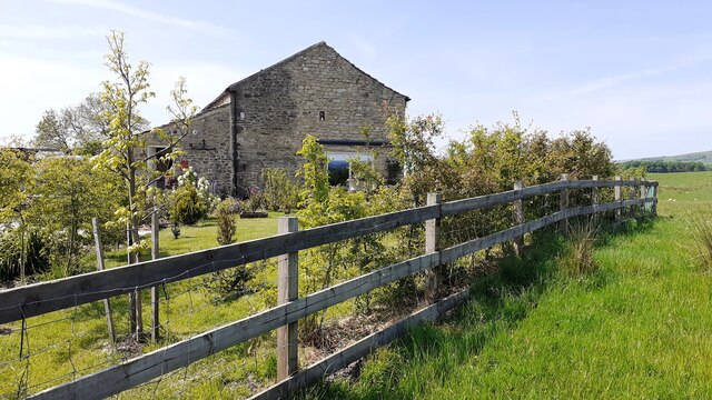
In addition to its natural beauty, Meldingscale Plantation also boasts a charming Georgian manor house that stands as a testament to the estate's rich history. This architectural gem is a focal point of the plantation and offers a glimpse into the past, with its elegant façade and well-preserved interior.

Meldingscale Plantation is open to the public year-round, welcoming nature enthusiasts, history buffs, and those seeking an escape from the hustle and bustle of everyday life. Whether it's a leisurely stroll, a picnic in a picturesque spot, or a visit to the manor house, this enchanting estate promises a memorable and rejuvenating experience for all who visit.

If you have any feedback on the listing, please let us know in the comments section below.

Meldingscale Plantation Images

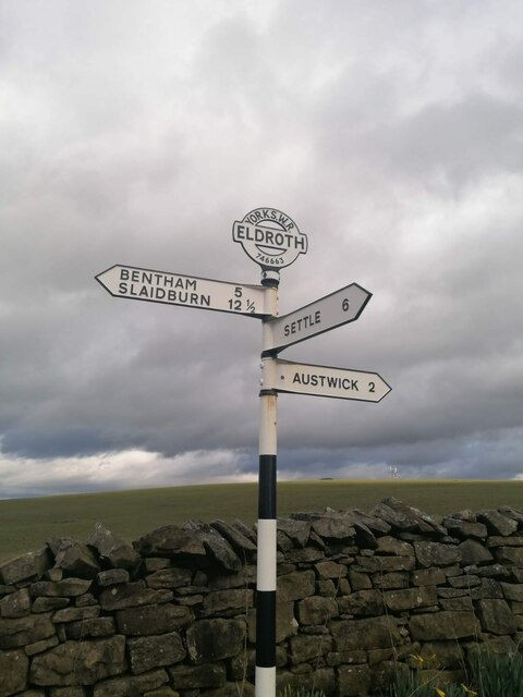
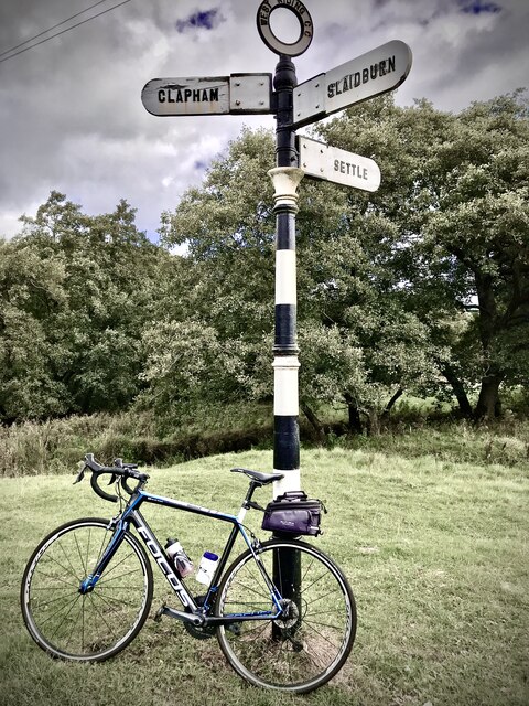
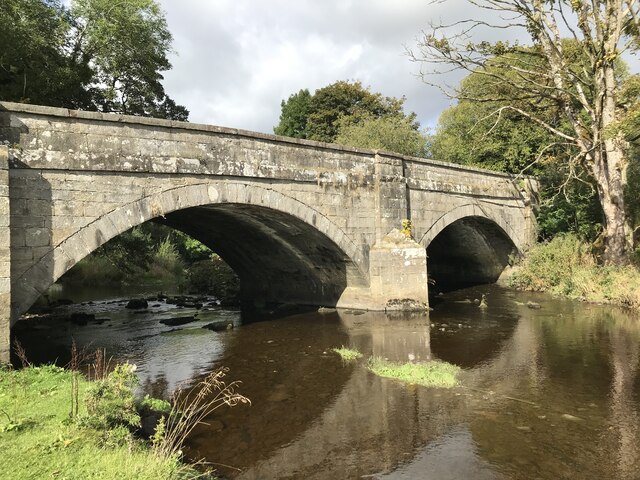
Images are sourced within 2km of 54.098708/-2.4071599 or Grid Reference SD7367. Thanks to Geograph Open Source API. All images are credited.

Direction Sign – Signpost on Eldroth Road, Lawkland Located on the northwest side of the T junction of Eldroth Road and Fummerber Lane in Lawkland parish. 3 arms and annulus & bar finial. See also <a title="https://www.geograph.org.uk/photo/5834757" href="https://www.geograph.org.uk/photo/5834757">Link</a> and <a title="https://www.geograph.org.uk/photo/4613723" href="https://www.geograph.org.uk/photo/4613723">Link</a>.

Milestone Society National ID: YW_SD7466A
Direction Sign – Signpost on Eldroth Road, Lawkland
Located on the northwest side of the T junction of Eldroth Road and Fummerber Lane in Lawkland parish. 3 arms and annulus & bar finial. See also Link and Link. Milestone Society National ID: YW_SD7466A
Fingerpost sign next to River Wenning A repaired fingerpost sign near Clapham Station, North Yorkshire
Fingerpost sign next to River Wenning
A repaired fingerpost sign near Clapham Station, North Yorkshire
Wenning Bank Bridge Stone bridge over the River Wenning near Clapham Station, North Yorkshire
Wenning Bank Bridge
Stone bridge over the River Wenning near Clapham Station, North Yorkshire
Sheep grazing on Clapham Moor
Looking NE along moorland road leading to Clapham Station
Diesel multiple unit 158850 leaves Clapham Station for Morecambe The train is the Northern service from Leeds
Diesel multiple unit 158850 leaves Clapham Station for Morecambe
The train is the Northern service from Leeds
Barn and house at Nutta Farm on NE side of road
Benchmark on Calter Barn Ordnance Survey cut mark benchmark levelled at 138.132m verified 1953
Benchmark on Calter Barn
Ordnance Survey cut mark benchmark levelled at 138.132m verified 1953
Benchmark on stone jamb of door of former post office at Wenning Bank Ordnance Survey cut mark benchmark levelled at 135.371m above Newlyn Datum verified 1953
Benchmark on stone jamb of door of former post office at Wenning Bank
Ordnance Survey cut mark benchmark levelled at 135.371m above Newlyn Datum verified 1953
House at Wenning Bank There is an Ordnance Survey benchmark <a href="https://www.geograph.org.uk/photo/7499989">SD7367 : Benchmark on stone jamb of door of former post office at Wenning Bank</a>  on the left hand jamb of the white door
House at Wenning Bank
There is an Ordnance Survey benchmark SD7367 : Benchmark on stone jamb of door of former post office at Wenning Bank on the left hand jamb of the white door
Benchmark on Calterber Bridge Ordnance Survey cut mark benchmark levelled at 128.101m above Newlyn Datum verified 1953
Benchmark on Calterber Bridge
Ordnance Survey cut mark benchmark levelled at 128.101m above Newlyn Datum verified 1953
SE face of Calterber Bridge There is an Ordnance Survey benchmark <a href="https://www.geograph.org.uk/photo/7500003">SD7367 : Benchmark on Calterber Bridge</a>  on the bridge arch on far side of river
SE face of Calterber Bridge
There is an Ordnance Survey benchmark SD7367 : Benchmark on Calterber Bridge on the bridge arch on far side of river
Calter Barn, a barn conversion on NW side of road Quite a change for the building since the 2016 geograph <a href="https://www.geograph.org.uk/photo/4317381">SD7368 : Calterber Barn</a>! There is an Ordnance Survey benchmark <a href="https://www.geograph.org.uk/photo/7499977">SD7368 : Benchmark on Calter Barn</a> on the right hand corner of house
Calter Barn, a barn conversion on NW side of road
Quite a change for the building since the 2016 geograph SD7368 : Calterber Barn! There is an Ordnance Survey benchmark SD7368 : Benchmark on Calter Barn on the right hand corner of house
Benchmark on western parapet of Wenning Bridge Ordnance Survey cut mark benchmark levelled at 125.971m above Newlyn Datum verified 1953
Benchmark on western parapet of Wenning Bridge
Ordnance Survey cut mark benchmark levelled at 125.971m above Newlyn Datum verified 1953
Wenning Bridge, taking Wenning Bank over River Wenning There is an Ordnance Survey benchmark <a href="https://www.geograph.org.uk/photo/7500665">SD7367 : Benchmark on western parapet of Wenning Bridge</a> on the left hand parapet over the centre of the river
Wenning Bridge, taking Wenning Bank over River Wenning
There is an Ordnance Survey benchmark SD7367 : Benchmark on western parapet of Wenning Bridge on the left hand parapet over the centre of the river
Benchmark on roadside wall west of Meldingscale Farm Ordnance Survey rivet benchmark levelled at 132.094m above Newlyn Datum verified 1953
Benchmark on roadside wall west of Meldingscale Farm
Ordnance Survey rivet benchmark levelled at 132.094m above Newlyn Datum verified 1953
Dry stone wall beside rural road at Meldingscale Farm There is an Ordnance Survey benchmark on the stone at the base of the wall right of the nearest fence post at the left hand edge of the image
Dry stone wall beside rural road at Meldingscale Farm
There is an Ordnance Survey benchmark on the stone at the base of the wall right of the nearest fence post at the left hand edge of the image
Benchmark on dry stone wall on west side of road south of Wenning Bridge Ordnance Survey rivet benchmark levelled at 140.568m above Newlyn Datum verified 1953
Benchmark on dry stone wall on west side of road south of Wenning Bridge
Ordnance Survey rivet benchmark levelled at 140.568m above Newlyn Datum verified 1953
Show me another place!

Meldingscale Plantation is located at Grid Ref: SD7367 (Lat: 54.098708, Lng: -2.4071599)

Division: West Riding

Administrative County: North Yorkshire

District: Craven

Police Authority: North Yorkshire

What 3 Words

///registry.diagram.nicely. Near High Bentham, North Yorkshire

Nearby Locations

Meldingscale Plantation

Related Wikis

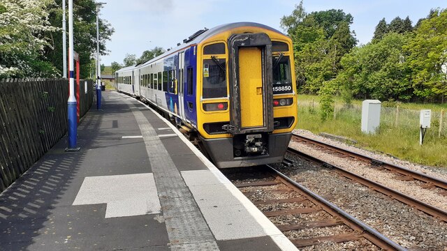
Clapham railway station

Clapham is a railway station on the Bentham Line, which runs between Leeds and Morecambe via Skipton. The station, situated 48 miles (77 km) north-west...

Keasden

Keasden is a hamlet in the civil parish of Clapham-cum-Newby, in the Craven district of the county of North Yorkshire, in the north-western England. It...

Keasden Beck

Keasden Beck is a stream in Yorkshire (formerly the West Riding) rising near Keasden Head, joining the River Wenning south west of Clapham. == References... ==

Clapham cum Newby

Clapham cum Newby is a civil parish in the Craven district of North Yorkshire, England. It was formerly in the Settle Rural District. It contains the villages...

Nearby Amenities

Located within 500m of 54.098708,-2.4071599
Power: pole
Source: Bing
Lat/Long: 54.0981115/-2.4038093
Power: pole
Source: Bing
Lat/Long: 54.098866/-2.4040557
Power: pole
Source: Bing
Lat/Long: 54.0996751/-2.4043307
Power: pole
Source: Bing
Lat/Long: 54.1004144/-2.4045589
Power: pole
Source: Bing
Lat/Long: 54.1011642/-2.404795
Power: pole
Source: Bing
Lat/Long: 54.1016798/-2.4058948
Power: pole
Source: Bing
Lat/Long: 54.1022441/-2.4069816
Power: pole
Source: Bing
Lat/Long: 54.1027779/-2.4080529
The data included in this document is from www.openstreetmap.org. The data is made available under ODbL.

Have you been to Meldingscale Plantation?

Leave your review of Meldingscale Plantation below (or comments, questions and feedback).