Thom Wood

Downs, Moorland in Banffshire

Scotland

Thom Wood

Old Milestone by the A947, Dounepark, Banff parish Stone post by the A947, in parish of Banff (District), Dounepark, South of lane to Little Doune Park, East side of road.

Inscription reads:-
2
(To Banff)
Carved bench mark on face.

Surveyed

Milestone Society National ID: AD_BFTR02
Old Milestone by the A947, Dounepark, Banff parish Credit: Milestone Society

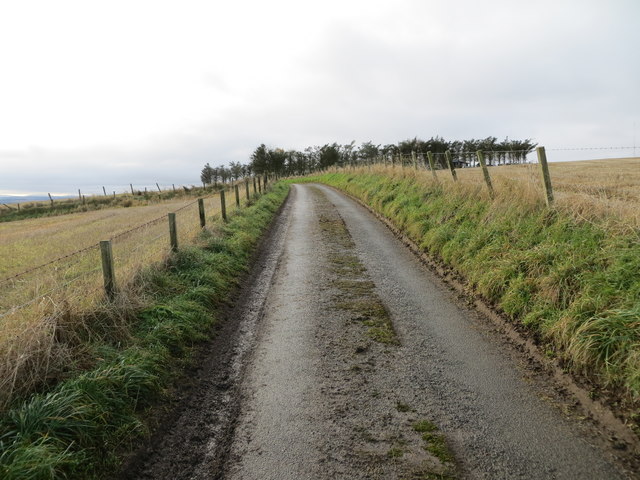
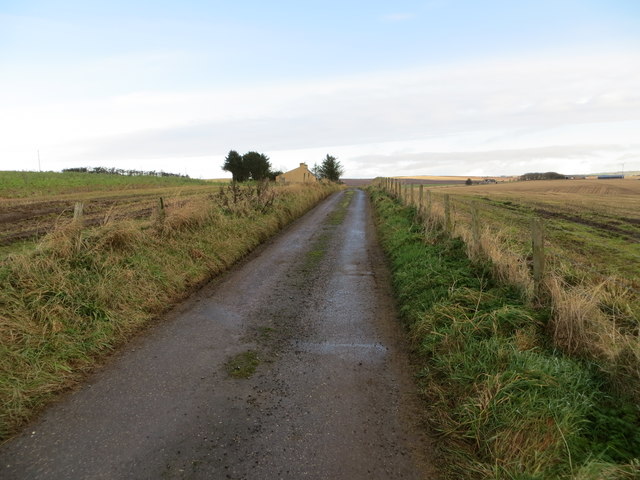
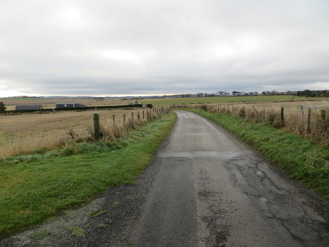
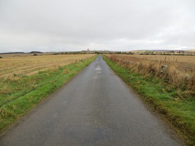
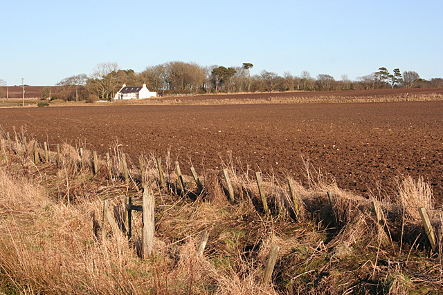
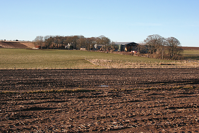
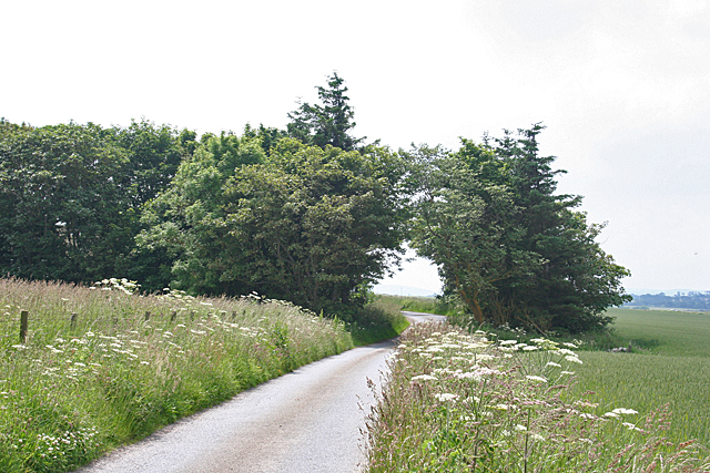
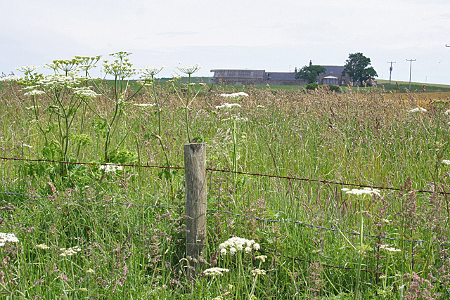
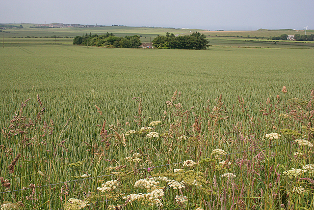
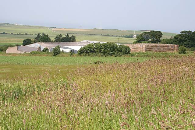
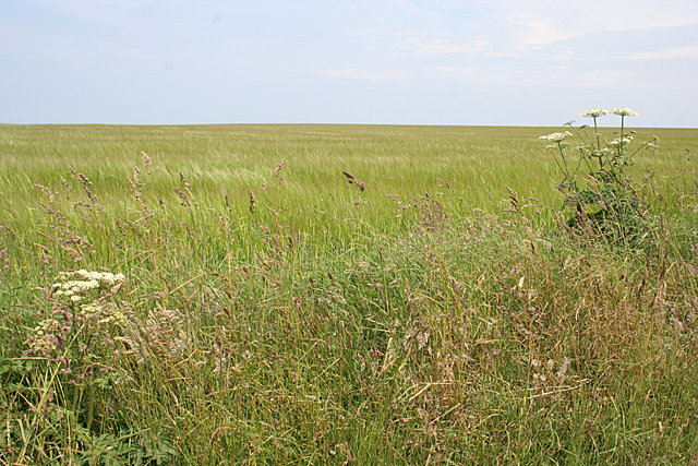
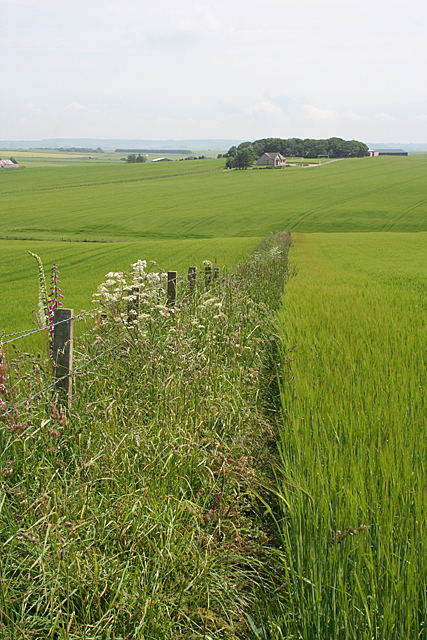
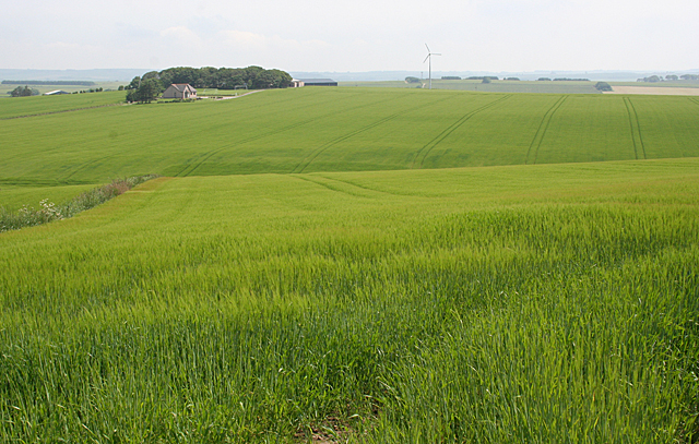
Thom Wood, located in Banffshire, Scotland, is a picturesque area characterized by its rolling downs and expansive moorland. It is situated in the northeastern part of the country, renowned for its stunning natural beauty and rich history.

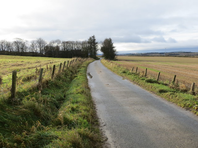
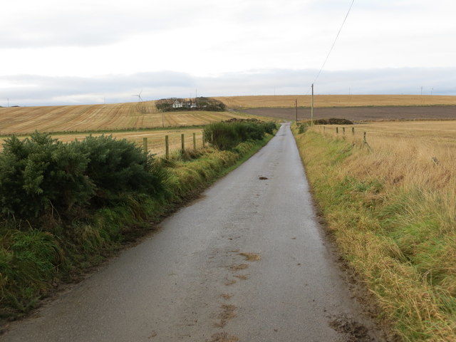
Covering an area of approximately [number] square kilometers, Thom Wood offers visitors a tranquil escape amidst its diverse landscape. The downs, with their gently undulating hills, provide a scenic backdrop, while the moorland offers vast open spaces, dotted with heather and native flora.

The wood itself is home to a variety of native trees, such as oak, birch, and pine, which create a lush and vibrant environment. It serves as a habitat for several species of birds, including the rare black grouse and red kite, making it a haven for birdwatching enthusiasts.

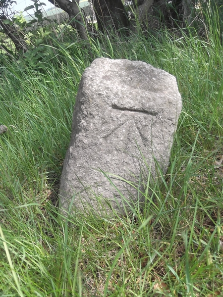
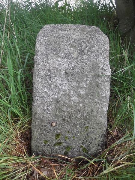
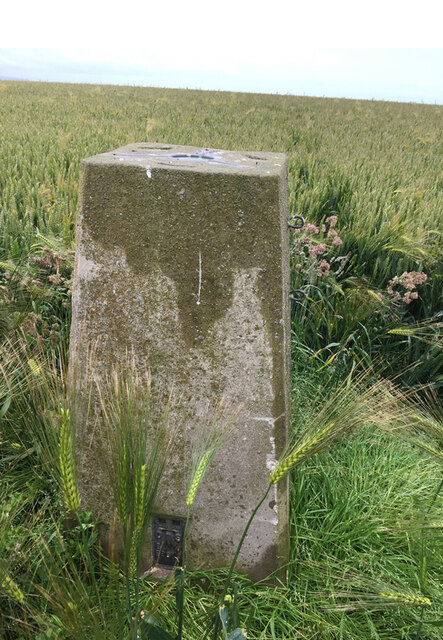
The area is also steeped in history, with several ancient archaeological sites scattered throughout Thom Wood. Visitors can explore the remnants of ancient settlements, stone circles, and burial mounds, offering a glimpse into the lives of the people who once inhabited the region.

Outdoor activities abound in Thom Wood, with opportunities for hiking, cycling, and wildlife spotting. The well-maintained trails cater to all levels of fitness and offer breathtaking views of the surrounding countryside.

Thom Wood, Banffshire, presents a captivating blend of natural beauty and historical significance, making it an ideal destination for those seeking a peaceful retreat or an adventure in the great outdoors.

If you have any feedback on the listing, please let us know in the comments section below.

Thom Wood Images

Images are sourced within 2km of 57.641944/-2.4451987 or Grid Reference NJ7361. Thanks to Geograph Open Source API. All images are credited.

Old Milestone by the A947, Dounepark, Banff parish Stone post by the A947, in parish of Banff (District), Dounepark, South of lane to Little Doune Park, East side of road.

Inscription reads:-
2
(To Banff)
Carved bench mark on face.

Surveyed

Milestone Society National ID: AD_BFTR02
Old Milestone by the A947, Dounepark, Banff parish
Stone post by the A947, in parish of Banff (District), Dounepark, South of lane to Little Doune Park, East side of road. Inscription reads:- 2 (To Banff) Carved bench mark on face. Surveyed Milestone Society National ID: AD_BFTR02
Old Milestone by the A947, south of Macduff, Banff parish Milestone by the A947, in parish of Banff (District), 100m South of lane to Netherwood opposite, on verge on East side of road.

Inscription reads:-
3
(To Banff)

Surveyed

Milestone Society National ID: AD_BFTR03
Old Milestone by the A947, south of Macduff, Banff parish
Milestone by the A947, in parish of Banff (District), 100m South of lane to Netherwood opposite, on verge on East side of road. Inscription reads:- 3 (To Banff) Surveyed Milestone Society National ID: AD_BFTR03
Fence-lined minor road approaching Burnside Looking south-westward.
Fence-lined minor road approaching Burnside
Looking south-westward.
Minor road heading in the direction of Easter Headitown Looking westward.
Minor road heading in the direction of Easter Headitown
Looking westward.
Fence-lined minor road heading towards Easter Outseat Looking south-westward.
Fence-lined minor road heading towards Easter Outseat
Looking south-westward.
Fence-lined minor road approaching Upper Outseat Looking north-eastward.
Fence-lined minor road approaching Upper Outseat
Looking north-eastward.
Fence-lined minor road approaching Lower Outseat Looking southward. There would seem to be a naming discrepancy on the 1:25000 map. In that the buildings in the picture are called Roseacre whilst the driveway entrance where I was declared itself to be Roseacre.
Fence-lined minor road approaching Lower Outseat
Looking southward. There would seem to be a naming discrepancy on the 1:25000 map. In that the buildings in the picture are called Roseacre whilst the driveway entrance where I was declared itself to be Roseacre.
Millhow Trig Point Flush Bracket S6914
Minor road between arable fields heading towards Croft of Bruntyards and Honeyneuk Looking north-eastward.
Minor road between arable fields heading towards Croft of Bruntyards and Honeyneuk
Looking north-eastward.
Fortrie Cottage Viewed across the fields from near Bruntyards.
Fortrie Cottage
Viewed across the fields from near Bruntyards.
Looking towards Bruntyards The foreground field is in this square, but the buildings at Bruntyards are in the next square. The Burn of Bruntyards forms the boundary between the fields.
Looking towards Bruntyards
The foreground field is in this square, but the buildings at Bruntyards are in the next square. The Burn of Bruntyards forms the boundary between the fields.
Green Archway The trees on either side of this minor back road meet above the roadway, forming an archway.
Green Archway
The trees on either side of this minor back road meet above the roadway, forming an archway.
Headiton Lush summer vegetation almost obscures the view of Headiton across the fields. The umbelliferous plants are Hogweed (ordinary, not giant!).
Headiton
Lush summer vegetation almost obscures the view of Headiton across the fields. The umbelliferous plants are Hogweed (ordinary, not giant!).
Green Field After all the rain this June, it's not surprising that everything is looking very lush and green. The farm in the trees is Boghead, just in the next square.
Green Field
After all the rain this June, it's not surprising that everything is looking very lush and green. The farm in the trees is Boghead, just in the next square.
Whitestones This is one of these awkward places where it is quite hard to decide which square it's in. The foreground and the huge stack of tattie boxes (for the avoidance of doubt, that's boxes for potatoes, not scruffy boxes) are in this square, and the extensive farm buildings are in the next square.
Whitestones
This is one of these awkward places where it is quite hard to decide which square it's in. The foreground and the huge stack of tattie boxes (for the avoidance of doubt, that's boxes for potatoes, not scruffy boxes) are in this square, and the extensive farm buildings are in the next square.
Barley Field This scene is fairly typical of large swathes of country around here at the moment.
Barley Field
This scene is fairly typical of large swathes of country around here at the moment.
Little Hungryhills The modern house in direct line with the fence is Little Hungryhills. Hungryhills itself is among the trees on the skyline. Farm names suggesting that the land is less than idyllic are not uncommon - there are lots of them with names including 'bog', 'mire', and 'dub', for instance, and lots of 'Coldhomes' - but Hungryhills as a farm name is in a class of its own.
Little Hungryhills
The modern house in direct line with the fence is Little Hungryhills. Hungryhills itself is among the trees on the skyline. Farm names suggesting that the land is less than idyllic are not uncommon - there are lots of them with names including 'bog', 'mire', and 'dub', for instance, and lots of 'Coldhomes' - but Hungryhills as a farm name is in a class of its own.
Hungryhills The farm buildings at Hungryhills are just visible to the right of the trees which hide most of the farm. Farm names suggesting that the land is less than idyllic are not uncommon - there are lots of them with names including 'bog', 'mire', and 'dub', for instance, and lots of 'Coldhomes' - but Hungryhills as a farm name is in a class of its own. And of course the embellishment of choice these days for every up-to-date farm is a wind turbine.
Hungryhills
The farm buildings at Hungryhills are just visible to the right of the trees which hide most of the farm. Farm names suggesting that the land is less than idyllic are not uncommon - there are lots of them with names including 'bog', 'mire', and 'dub', for instance, and lots of 'Coldhomes' - but Hungryhills as a farm name is in a class of its own. And of course the embellishment of choice these days for every up-to-date farm is a wind turbine.
Show me another place!

Thom Wood is located at Grid Ref: NJ7361 (Lat: 57.641944, Lng: -2.4451987)

Unitary Authority: Aberdeenshire

Police Authority: North East

What 3 Words

///bulges.workshops.jots. Near Macduff, Aberdeenshire

Nearby Locations

Thom Wood

Related Wikis

Longman Hill

Longmanhill is a Bronze Age long barrow situated atop a prominent rounded landform in northern Aberdeenshire, Scotland near Banff Bay. Due to the low-lying...

Longmanhill

Longmanhill is a settlement in the Aberdeenshire parish of Gamrie; it is located along the A98 road connecting Fraserburgh to Macduff. This hamlet was...

Cairn Lee

Cairn Lee is a prehistoric monument in Aberdeenshire, Scotland. Cairn Lee and proximate Longman Hill are the oldest prehistoric features in the local area...

Burn of Myrehouse

The Burn of Myrehouse is a coastal stream in Aberdeenshire in northeast Scotland, the lower section of which, Getty Burn is a right bank tributary of River...

Nearby Amenities

Located within 500m of 57.641944,-2.4451987
Power: pole
Lat/Long: 57.6445972/-2.438648
Power: pole
Lat/Long: 57.6449303/-2.439338
Power: pole
Lat/Long: 57.6451406/-2.4397799
Power: pole
Lat/Long: 57.6455768/-2.4405978
Power: pole
Lat/Long: 57.6398222/-2.4386254
Power: pole
Lat/Long: 57.6396582/-2.4396595
Power: pole
Lat/Long: 57.6394992/-2.4407144
Power: pole
Lat/Long: 57.6393251/-2.4418275
Power: pole
Lat/Long: 57.6391681/-2.4429011
Power: pole
Lat/Long: 57.639/-2.4440011
Power: pole
Lat/Long: 57.6388319/-2.4450991
Power: pole
Lat/Long: 57.638692/-2.4460261
Power: pole
Lat/Long: 57.6383167/-2.4471223
Power: pole
Lat/Long: 57.6379342/-2.4480417
Power: pole
Lat/Long: 57.6378738/-2.4481451
Power: pole
Lat/Long: 57.6399561/-2.4409005
Power: pole
Lat/Long: 57.6403828/-2.4410415
Power: pole
Lat/Long: 57.6399503/-2.4520842
Power: pole
Lat/Long: 57.6403255/-2.4508748
Power: pole
Lat/Long: 57.6396919/-2.4502109
Power: pole
Lat/Long: 57.6390781/-2.4495214
Power: pole
Lat/Long: 57.638473/-2.4488436
The data included in this document is from www.openstreetmap.org. The data is made available under ODbL.

Have you been to Thom Wood?

Leave your review of Thom Wood below (or comments, questions and feedback).