Kingswood

Downs, Moorland in Shropshire

England

Kingswood

Woodland at Cook's Green Farm
Woodland at Cook's Green Farm Credit: Alex McGregor

Kingswood is a charming village located in the county of Shropshire, England. Situated in the heart of the countryside, it is surrounded by beautiful landscapes of downs and moorland, offering residents and visitors a tranquil and idyllic setting. The village is situated approximately 10 miles south-west of the county town of Shrewsbury, making it easily accessible for those looking to explore the wider area.

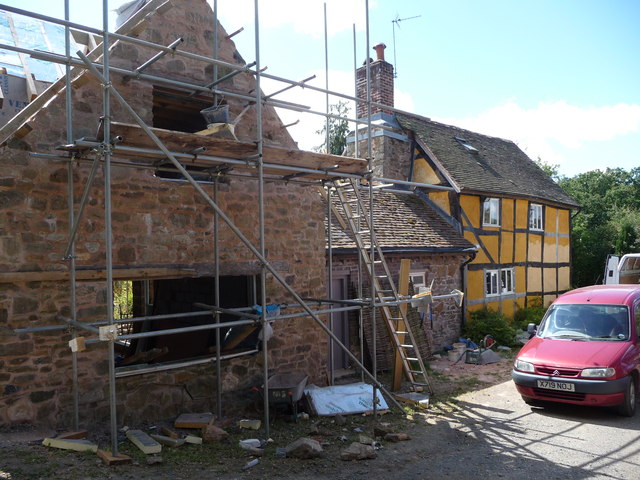
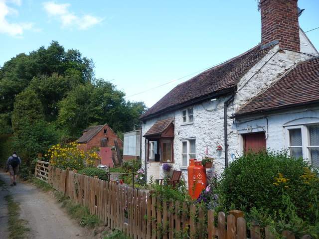
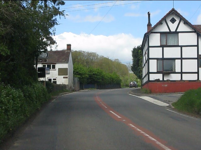
The village of Kingswood itself is small and tightly-knit, with a population of around 500 residents. It has a rich history, dating back many centuries, and is known for its traditional English architecture, with charming cottages and stone-built houses scattered throughout the village. The local church, St. Mary's, is a notable landmark, dating back to the 12th century and providing a glimpse into the area's historical significance.

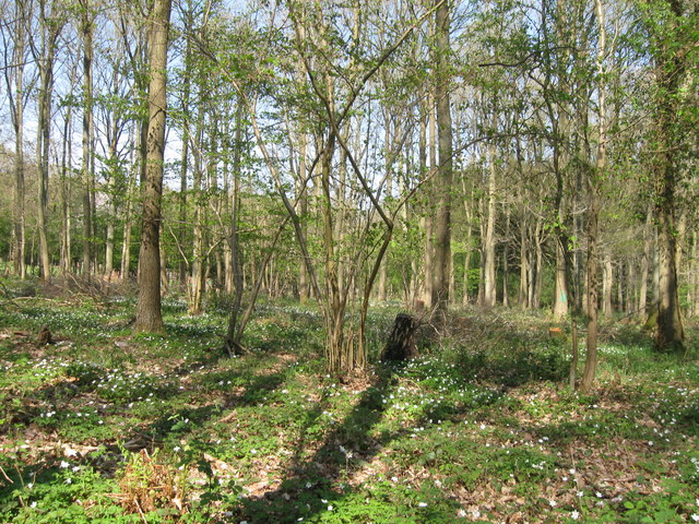
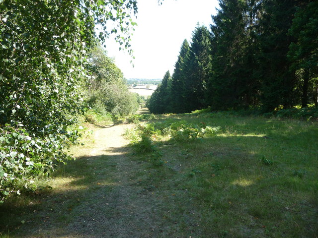
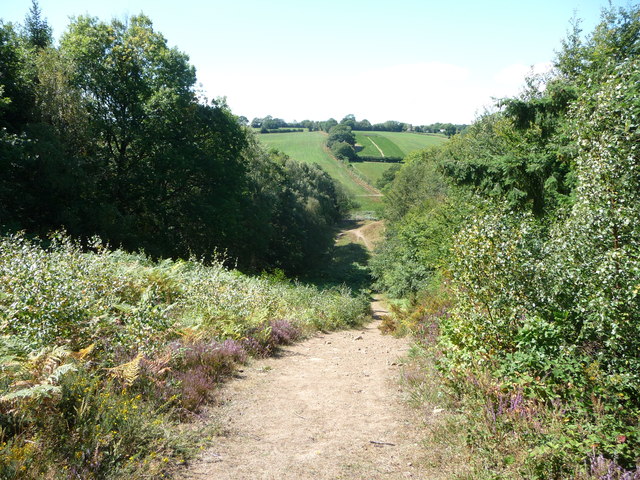
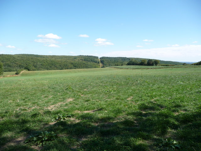
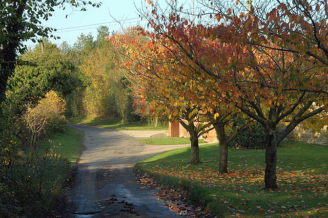
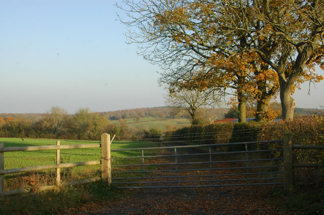
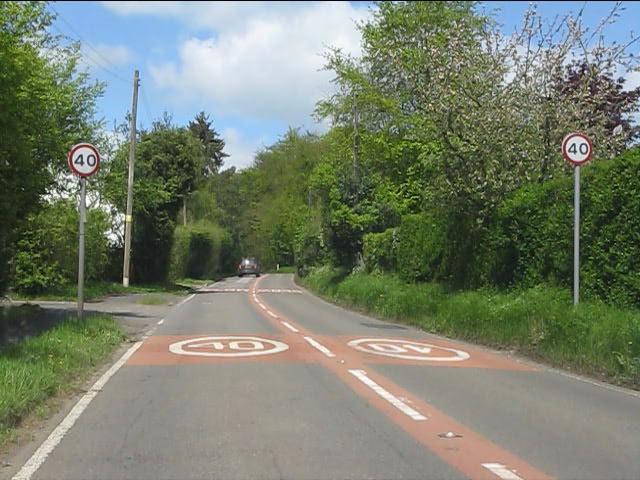
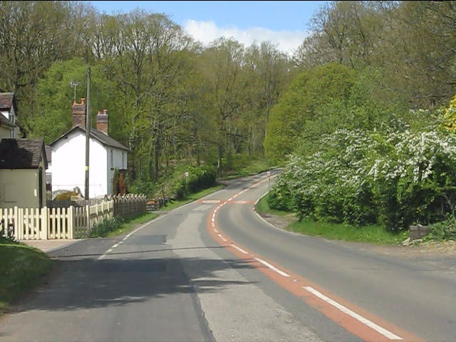
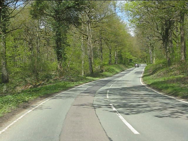
For nature enthusiasts, Kingswood offers an abundance of opportunities to explore the surrounding downs and moorland. The area is known for its diverse wildlife, with numerous walking trails and bridleways allowing visitors to immerse themselves in the natural beauty of the countryside. The nearby Shropshire Hills Area of Outstanding Natural Beauty provides further opportunities for outdoor activities, including hiking, cycling, and birdwatching.

Although small in size, Kingswood has a strong sense of community, with a village hall hosting various events and activities throughout the year. The village also boasts a local pub, The Kingswood Arms, where residents and visitors can enjoy a meal or a drink in a traditional setting.

Overall, Kingswood is a picturesque village that offers a peaceful escape from the hustle and bustle of city life. With its stunning natural surroundings and friendly community, it is a hidden gem within the Shropshire countryside.

If you have any feedback on the listing, please let us know in the comments section below.

Kingswood Images

Images are sourced within 2km of 52.392388/-2.3917233 or Grid Reference SO7377. Thanks to Geograph Open Source API. All images are credited.

Woodland at Cook's Green Farm
House on the B4194 at Button Bridge Lane
Footpath in the Wyre Forest near Buttonoak The footpath here follows a fire break in the woodland but which may well actually be the route of the Elan Valley pipeline carrying water to Brum. Anyway, it is steep!
Footpath in the Wyre Forest near Buttonoak
The footpath here follows a fire break in the woodland but which may well actually be the route of the Elan Valley pipeline carrying water to Brum. Anyway, it is steep!
Footpath in the Wyre Forest Looking westwards.
Footpath in the Wyre Forest
Looking westwards.
The Elan Valley pipeline in the Wyre Forest The break in the plantation shows the line of the water pipeline from near Winwoods Farm.
The Elan Valley pipeline in the Wyre Forest
The break in the plantation shows the line of the water pipeline from near Winwoods Farm.
Cottage renovation near Kingswood in the Wyre Forest I last came by this way five years ago and this place was under renovation then.
Cottage renovation near Kingswood in the Wyre Forest
I last came by this way five years ago and this place was under renovation then.
Cottage in the Wyre Forest near Kingswood A proper cottage.
Cottage in the Wyre Forest near Kingswood
A proper cottage.
Forestry track in the Wyre Forest, off the B4194 road The track is opposite the start of the forestry road to the Postensplain area of the forest. The forest was showing its autumnal colours on this sunny day in early November.
Forestry track in the Wyre Forest, off the B4194 road
The track is opposite the start of the forestry road to the Postensplain area of the forest. The forest was showing its autumnal colours on this sunny day in early November.
Trees in Wyre Forest in autumnal colours A sunny day in early November reveals the trees in their autumnal colours.
Trees in Wyre Forest in autumnal colours
A sunny day in early November reveals the trees in their autumnal colours.
Forestry road in the Wyre Forest in autumn This forestry road leads off the B4194 road. In early November the adjacent trees were in their autumnal colours.
Forestry road in the Wyre Forest in autumn
This forestry road leads off the B4194 road. In early November the adjacent trees were in their autumnal colours.
Silligrove in the autumn
Gate with barbed wire at Two Acres
B4194 at the junction for Arley
B4194 in Button Oak
B4194 in Button Oak
B4194 near Blackgraves Copse
B4194 at Lawleys Coppice
B4194 in Wyre Forest
B4194 at Buttonbridge A telephone box once existed by the bus shelter.
B4194 at Buttonbridge
A telephone box once existed by the bus shelter.
Show me another place!

Kingswood is located at Grid Ref: SO7377 (Lat: 52.392388, Lng: -2.3917233)

Unitary Authority: Shropshire

Police Authority: West Mercia

What 3 Words

///strutted.loops.helping. Near Bewdley, Worcestershire

Related Wikis

Wyre Forest railway station

Wyre Forest railway station was a station to the north of Far Forest, Worcestershire, England. The station which served the Wyre Forest was opened in 1869...

Wyre Forest

Wyre Forest is a large, semi-natural (partially unmanaged) woodland and forest measuring 26.34 square kilometres (10.17 sq mi) which straddles the borders...

Button Oak

Button Oak is a small village in the English county of Shropshire, England. It is 3 miles north west of Bewdley. Button Oak is very similar to nearby...

Pound Green

Pound Green is a hamlet in Upper Arley, Worcestershire, England. It has a number of tourist landmarks such as Ye Olde New Inn and a village hall that also...

Nearby Amenities

Located within 500m of 52.392388,-2.3917233
Barrier: stile
Foot: yes
Lat/Long: 52.3920018/-2.3963493
Barrier: stile
Foot: yes
Lat/Long: 52.3961254/-2.3903969
Backcountry: yes
Description: Wildcamp Spot
Impromptu: yes
Maxtents: 1
Lat/Long: 52.3936687/-2.398218
Man Made: manhole
Manhole: water
Lat/Long: 52.3954618/-2.3937947
Man Made: manhole
Manhole: water
Pipeline: inspection chamber
Lat/Long: 52.3959483/-2.3901085
Generator Method: photovoltaic
Generator Output Electricity: yes
Generator Source: solar
Generator Type: solar_photovoltaic_panel
Location: roof
Power: generator
Lat/Long: 52.3912045/-2.3967549
The data included in this document is from www.openstreetmap.org. The data is made available under ODbL.

Have you been to Kingswood?

Leave your review of Kingswood below (or comments, questions and feedback).