Aushaw Moss

Downs, Moorland in Lancashire

England

Aushaw Moss

Rushton's Height
Rushton's Height Credit: Richard Webb

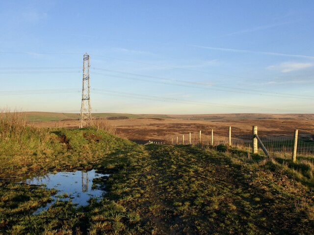
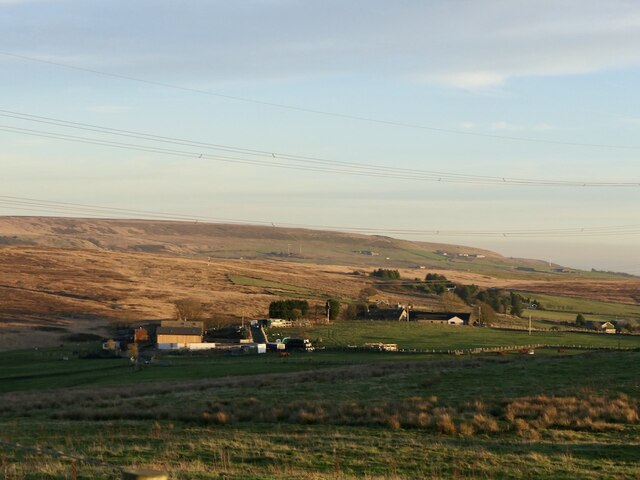
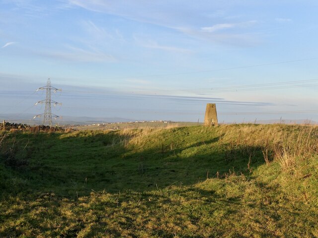
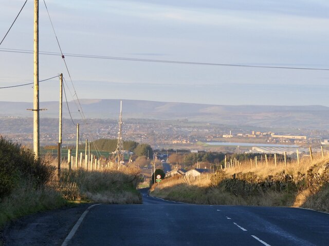
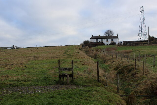
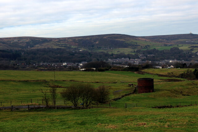
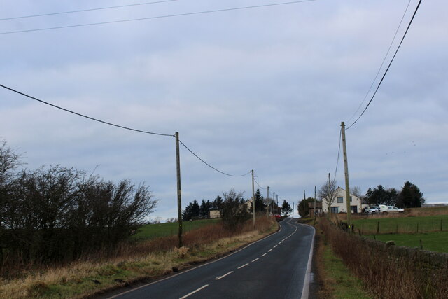
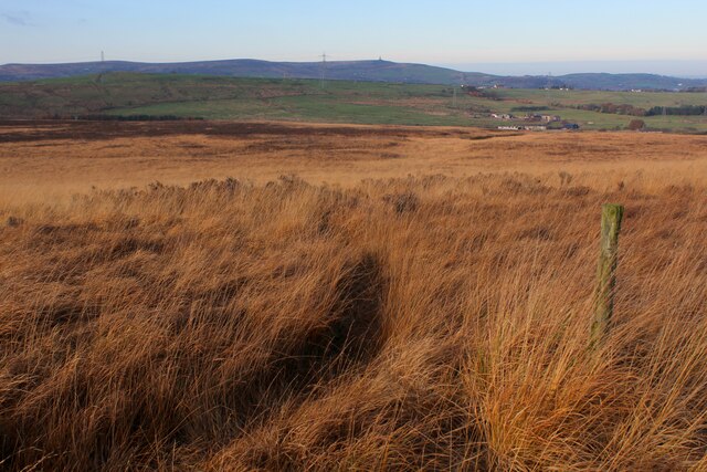
Aushaw Moss is a vast expanse of moorland located in Lancashire, England. Situated in the scenic West Pennine Moors, it covers an area of approximately 300 hectares. The moss is easily accessible, lying between the villages of Belmont and Chapeltown, and is a popular destination for hikers, nature enthusiasts, and birdwatchers.

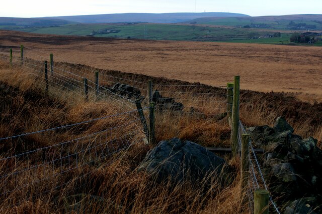
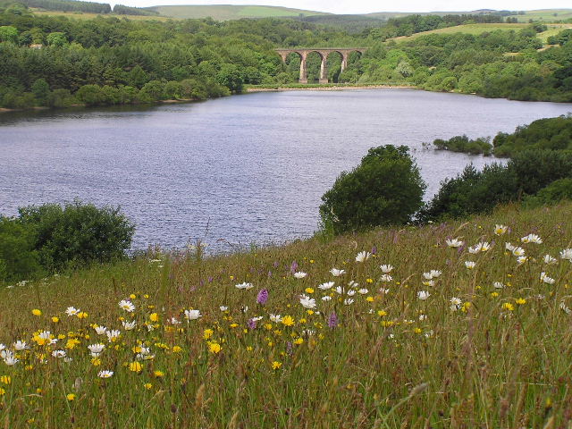
The landscape of Aushaw Moss is characterized by its undulating terrain, heather-covered hills, and numerous small pools and marshy areas. The moss is home to a variety of plant species, including cotton grass, bilberry, and sphagnum moss, which thrive in the acidic soil. Aushaw Moss is also known for its rich biodiversity, hosting a diverse range of bird species such as curlews, lapwings, and skylarks.

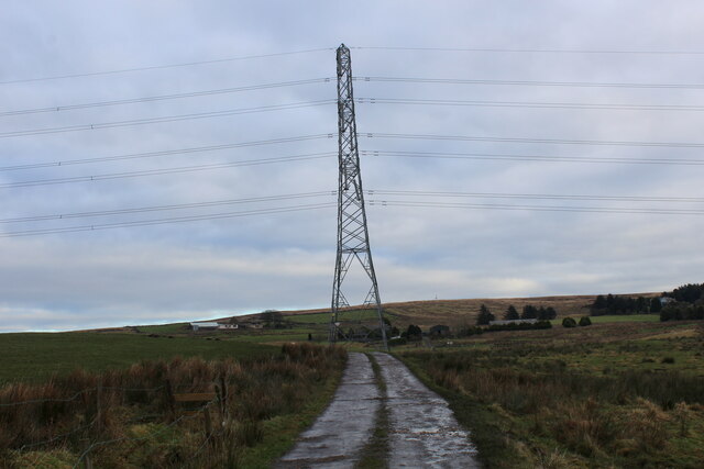
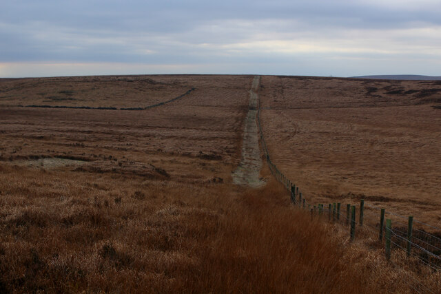
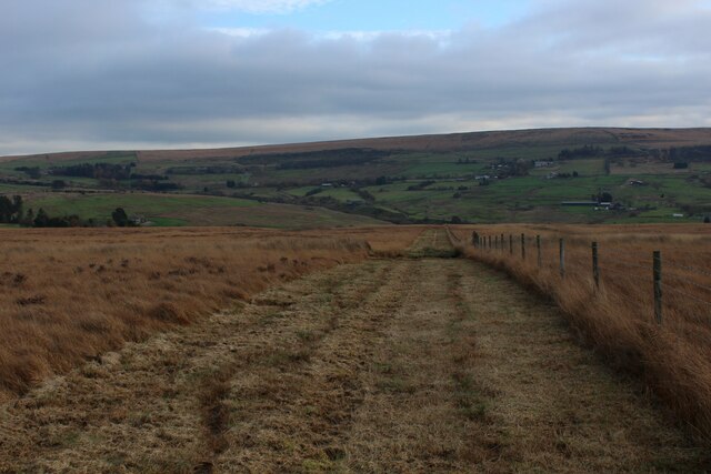
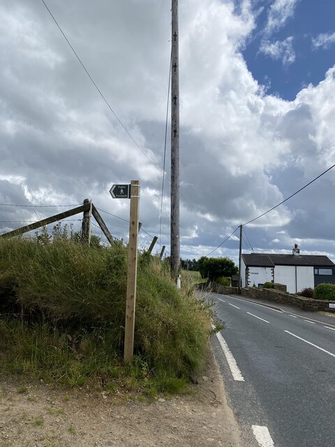
The moss is intersected by several walking trails, which allow visitors to explore its natural beauty and enjoy panoramic views of the surrounding countryside. The area is also part of the Belmont Moor Local Nature Reserve, which is managed by the Lancashire Wildlife Trust. The reserve plays a crucial role in conserving and protecting the unique flora and fauna found in this moorland habitat.

Aushaw Moss offers a peaceful and serene escape from urban life, providing visitors with the opportunity to immerse themselves in the tranquility of nature. It is a haven for wildlife enthusiasts and an ideal location for those seeking a peaceful retreat amidst the stunning landscapes of Lancashire's moorlands.

If you have any feedback on the listing, please let us know in the comments section below.

Aushaw Moss Images

Images are sourced within 2km of 53.672052/-2.4152173 or Grid Reference SD7219. Thanks to Geograph Open Source API. All images are credited.

Rushton's Height
Rushton's Height
View towards Cuckoldmans From Rushton's Height
View towards Cuckoldmans
From Rushton's Height
Rushton's Height
Rushton's Height
Roman Road, Rushton's Height View down the predictably straight road towards Blackburn.
Roman Road, Rushton's Height
View down the predictably straight road towards Blackburn.
Ascending towards Plantation Cottage Five public footpaths meet beside the white building ahead.
Ascending towards Plantation Cottage
Five public footpaths meet beside the white building ahead.
Ventilation Shaft above Sough Tunnel Serves the mile long Sough Railway Tunnel on the Ribble Valley Line between Manchester and Clitheroe, via Blackburn
Ventilation Shaft above Sough Tunnel
Serves the mile long Sough Railway Tunnel on the Ribble Valley Line between Manchester and Clitheroe, via Blackburn
Roman Road Long straight road upon which vehicles can attain high speeds - seen here heading towards Blacksnape
Roman Road
Long straight road upon which vehicles can attain high speeds - seen here heading towards Blacksnape
Access to Lower Aushaw Heading across rough pasture from Roman Road
Access to Lower Aushaw
Heading across rough pasture from Roman Road
On Hoddlesden Moss There is a tangible footpath passing the wooden post, it is just buried beneath vegetation as it gradually descends from Grey Stone Hill
On Hoddlesden Moss
There is a tangible footpath passing the wooden post, it is just buried beneath vegetation as it gradually descends from Grey Stone Hill
Summit of Grey Stone Hill Moorland gradually slopes down on all sides from the summit, which is crowned with a small gritstone boulder - presumably giving this hill its name.
Summit of Grey Stone Hill
Moorland gradually slopes down on all sides from the summit, which is crowned with a small gritstone boulder - presumably giving this hill its name.
Heading towards Soot Hill Descending the southern flank of Grey Stone Hill towards the distant Soot Hill.  A strip has been cut beside the fence making progress much easier.
Heading towards Soot Hill
Descending the southern flank of Grey Stone Hill towards the distant Soot Hill. A strip has been cut beside the fence making progress much easier.
Horse Hey A convenient channel has been cut beside the fence, facilitating progress
Horse Hey
A convenient channel has been cut beside the fence, facilitating progress
Broken Dry Stone Wall over Orrell Moss A public footpath follows this wall, although there is no sign of it on the ground.
Broken Dry Stone Wall over Orrell Moss
A public footpath follows this wall, although there is no sign of it on the ground.
Track leading off Hoddlesden Moss into Plantation
View towards Ramsbottom
Footpath sign
Footpath sign
Rushtons Height Trig Point Flush Bracket S4427
Farmhouse at Cranberry Fold Now a house with a small garden.
Farmhouse at Cranberry Fold
Now a house with a small garden.
Show me another place!

Aushaw Moss is located at Grid Ref: SD7219 (Lat: 53.672052, Lng: -2.4152173)

Unitary Authority: Blackburn with Darwen

Police Authority: Lancashire

What 3 Words

///canal.angers.concerts. Near Edgworth, Lancashire

Related Wikis

Whittlestone Head railway station

Whittlestone Head railway station served the hamlet of Whittlestone Head, Lancashire, England, in 1848 on the Blackburn, Darwen and Bolton Railway. �...

West Pennine Moors

The West Pennine Moors is an area of the Pennines covering approximately 90 square miles (230 km2) of moorland and reservoirs in Lancashire and Greater...

Entwistle railway station

Entwistle railway station (first opened in 1848) is 5+3⁄4 miles (9.3 km) north of Bolton and serves the village of Entwistle. It is also the closest station...

Entwistle, Lancashire

Entwistle is a village in the Blackburn with Darwen unitary authority in Lancashire in the north west of England. Its name derives from the Old English...

Nearby Amenities

Located within 500m of 53.672052,-2.4152173
Power: tower
Lat/Long: 53.6708989/-2.4191597
Power: tower
Lat/Long: 53.672558/-2.4205236
Power: tower
Lat/Long: 53.668184/-2.4150151
Barrier: stile
Material: wood
Stile: stepover
Lat/Long: 53.6731153/-2.408402
Barrier: cattle_grid
Lat/Long: 53.6748821/-2.4197817
The data included in this document is from www.openstreetmap.org. The data is made available under ODbL.

Have you been to Aushaw Moss?

Leave your review of Aushaw Moss below (or comments, questions and feedback).