West Baugh Fell

Downs, Moorland in Yorkshire South Lakeland

England

West Baugh Fell

Stream channel on Holmes Moss
Stream channel on Holmes Moss Credit: Roger Templeman

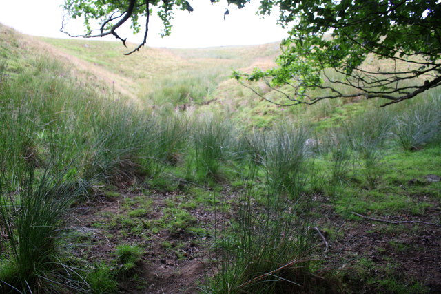
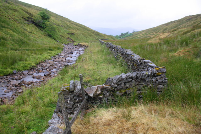
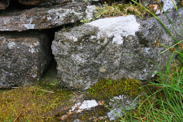
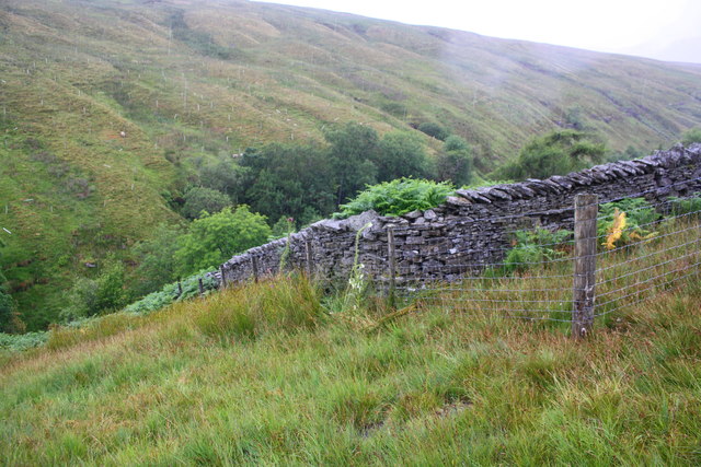
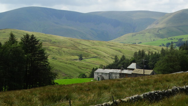
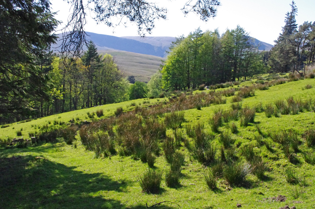
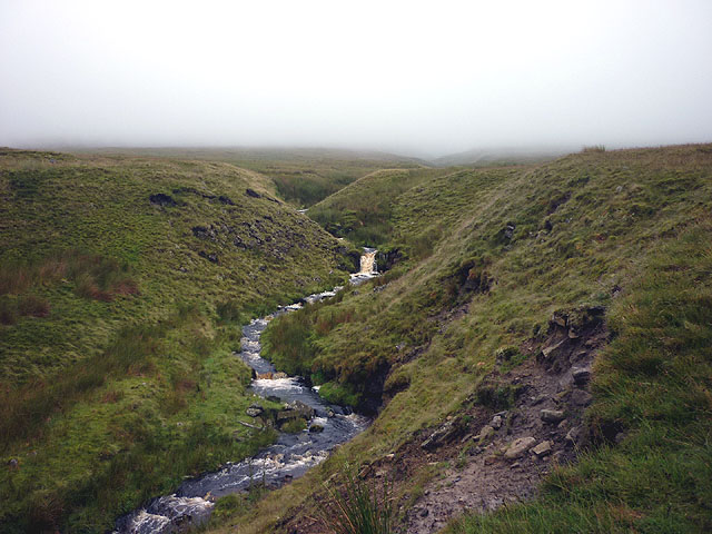
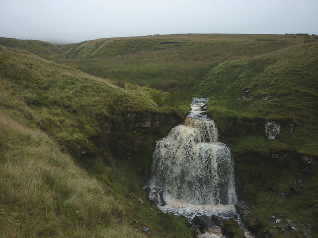
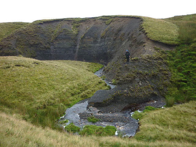
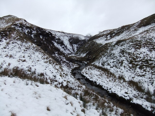
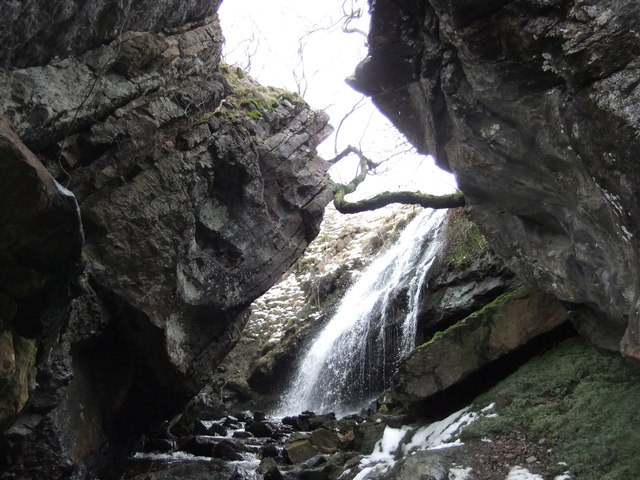
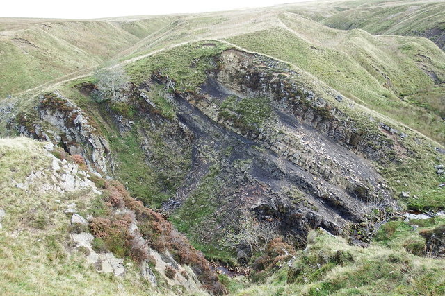
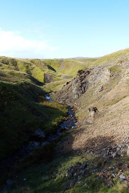
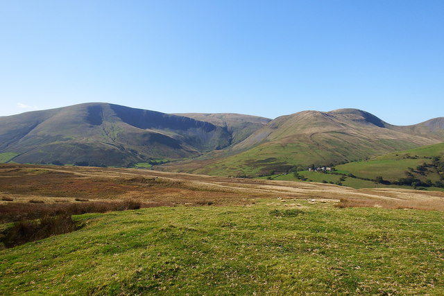
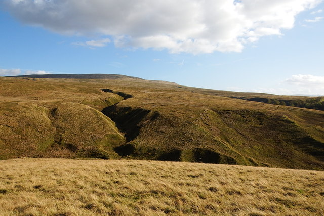
West Baugh Fell is a rugged and remote area located in the Yorkshire Dales in northern England. It is characterized by its rolling hills, expansive moorland, and stunning views of the surrounding countryside. The landscape is dominated by open grassland, heather-covered moors, and scattered patches of woodland.

The area is popular with hikers, birdwatchers, and outdoor enthusiasts looking to escape the hustle and bustle of city life. The terrain is challenging, with steep inclines and rocky outcrops, making it a haven for those seeking a more adventurous outdoor experience.

Wildlife is abundant in West Baugh Fell, with sightings of red deer, grouse, and various bird species common throughout the area. The diverse ecosystem supports a wide range of plant and animal species, making it a hotspot for nature lovers.

Overall, West Baugh Fell is a picturesque and peaceful destination for those looking to explore the natural beauty of the Yorkshire Dales. Its remote location and untouched landscapes offer a true sense of escape and tranquility for visitors seeking a break from the everyday hustle and bustle.

If you have any feedback on the listing, please let us know in the comments section below.

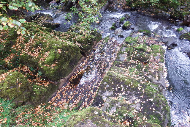
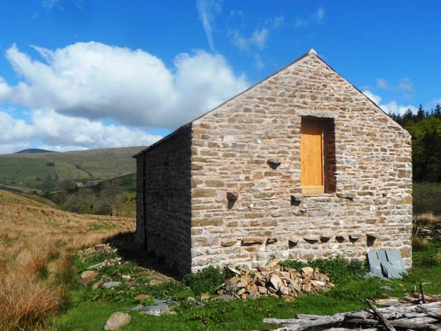
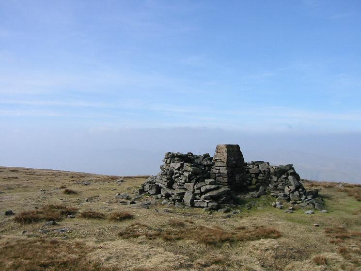
West Baugh Fell Images

Images are sourced within 2km of 54.353631/-2.4293411 or Grid Reference SD7295. Thanks to Geograph Open Source API. All images are credited.

Stream channel on Holmes Moss
Bend in dry stone wall beside River Rawthey, Holmes Moss
Benchmark on stone in wall above River Rawthey Ordnance Survey pivot benchmark shown as levelled at 1155.2 feet above Liverpool Datum on 1888-1913 6" Map, and described on the Bench Mark Database at <span class="nowrap"><a title="https://www.bench-marks.org.uk/bm98020" rel="nofollow ugc noopener" href="https://www.bench-marks.org.uk/bm98020">Link</a><img style="margin-left:2px;" alt="External link" title="External link - shift click to open in new window" src="https://s1.geograph.org.uk/img/external.png" width="10" height="10"/></span>
Benchmark on stone in wall above River Rawthey
Ordnance Survey pivot benchmark shown as levelled at 1155.2 feet above Liverpool Datum on 1888-1913 6" Map, and described on the Bench Mark Database at LinkExternal link
Wall and fence angles above River Rawthey There is an OS benchmark <a href="https://www.geograph.org.uk/photo/6008687">SD7395 : Benchmark on stone in wall above River Rawthey</a> on a stone at the base of the wall at its corner
Wall and fence angles above River Rawthey
There is an OS benchmark SD7395 : Benchmark on stone in wall above River Rawthey on a stone at the base of the wall at its corner
New House Farm, & view towards Howgill Fells
Rough grazing near Needle House The Howgills are in the distance, with Cautley Crag prominent.
Rough grazing near Needle House
The Howgills are in the distance, with Cautley Crag prominent.
Uldale sign
Uldale sign
Nor Gill So far, a nondescript moorland watercourse draining the vast flank of West Baugh Fell. Just downstream it leaps over a considerable waterfall.
Nor Gill
So far, a nondescript moorland watercourse draining the vast flank of West Baugh Fell. Just downstream it leaps over a considerable waterfall.
Waterfall, Nor Gill Quite an impressive fall of about 6m, spectacular on a wet day.
Waterfall, Nor Gill
Quite an impressive fall of about 6m, spectacular on a wet day.
Exposure of coal measures, Whinny Gill Ali is standing on a remarkable little arete of soft shale that forces the beck to make a violent meander. It probably won't last for too many more years. There are several disused pits in a line running through this vicinity.
Exposure of coal measures, Whinny Gill
Ali is standing on a remarkable little arete of soft shale that forces the beck to make a violent meander. It probably won't last for too many more years. There are several disused pits in a line running through this vicinity.
Taythes Gill
Taythes Gill
Waterfall, Taythes Gill
Yoredale Beds
Yoredale Beds
Yoredale Beds
Yoredale Beds
Tathyes Gill
Tathyes Gill
View from Bluecaster
Wraymire Gill
Wraymire Gill
Intake House Currently under renovation with a new roof recently added.
Intake House
Currently under renovation with a new roof recently added.
Show me another place!

West Baugh Fell is located at Grid Ref: SD7295 (Lat: 54.353631, Lng: -2.4293411)

Division: West Riding

Administrative County: Cumbria

District: South Lakeland

Police Authority: Cumbria

What 3 Words

///bench.hers.tightrope. Near Sedbergh, Cumbria

Nearby Locations

West Baugh Fell

Related Wikis

Swarth Fell

Swarth Fell is an approximately 1 mile (1.5 km) stretch of high ground (consisting mainly of limestone capped with millstone grit) situated to the south...

Baugh Fell

Baugh Fell (, or locally ) is a large, flat-topped hill in the northern Pennines of England. It lies in the north-western corner of the Yorkshire Dales...

Yarlside

Yarlside is a hill in the Howgill Fells, Cumbria (historically Westmorland), England. This fell is not to be confused with the Yarlside area near Barrow...

Wild Boar Fell

Wild Boar Fell is a mountain in the Yorkshire Dales National Park, on the eastern edge of Cumbria, England. At 2,323 feet (708 m), it is either the 4th...

Have you been to West Baugh Fell?

Leave your review of West Baugh Fell below (or comments, questions and feedback).