Birk Shaw
Downs, Moorland in Yorkshire South Lakeland
England
Birk Shaw
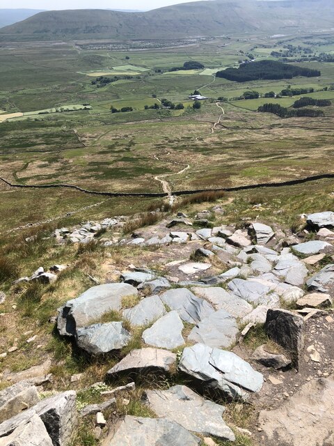
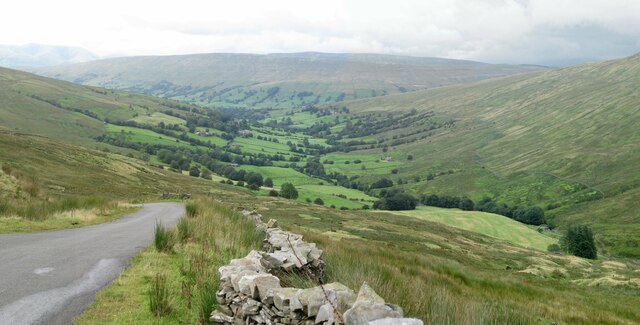
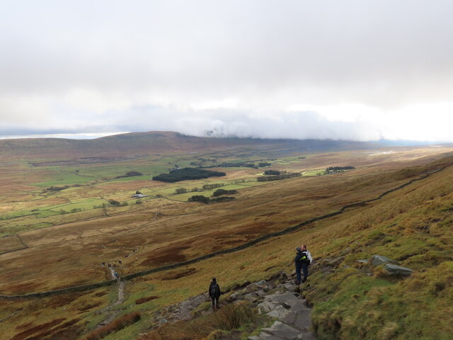
Birk Shaw is a picturesque village located in the county of Yorkshire, England. Nestled amidst the beautiful Yorkshire Downs and Moorland, the village is renowned for its stunning natural surroundings and charming rural appeal.
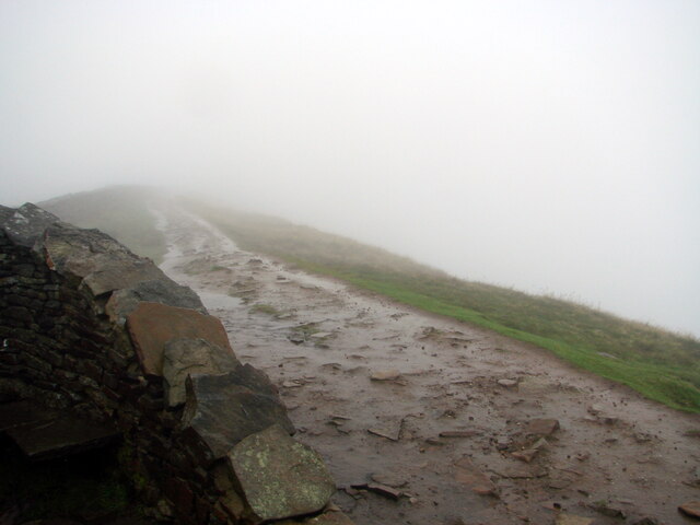
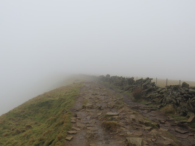
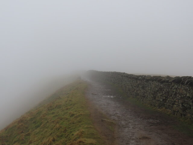
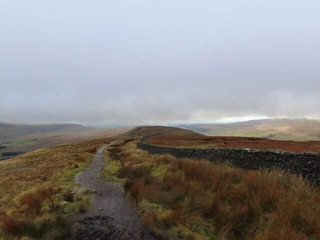
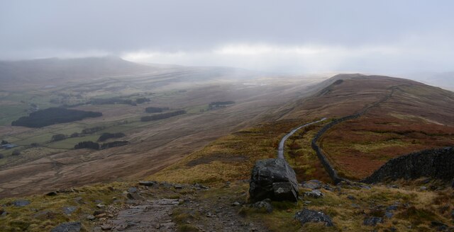
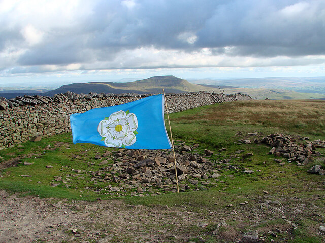
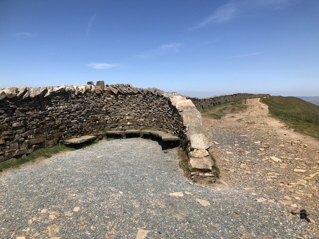
The landscape surrounding Birk Shaw is characterized by rolling hills, expansive heather-covered moors, and lush green valleys. The vast open spaces provide ample opportunities for outdoor activities such as hiking, cycling, and birdwatching. Visitors can explore the numerous walking trails that wind through the countryside, offering breathtaking views of the surrounding countryside.
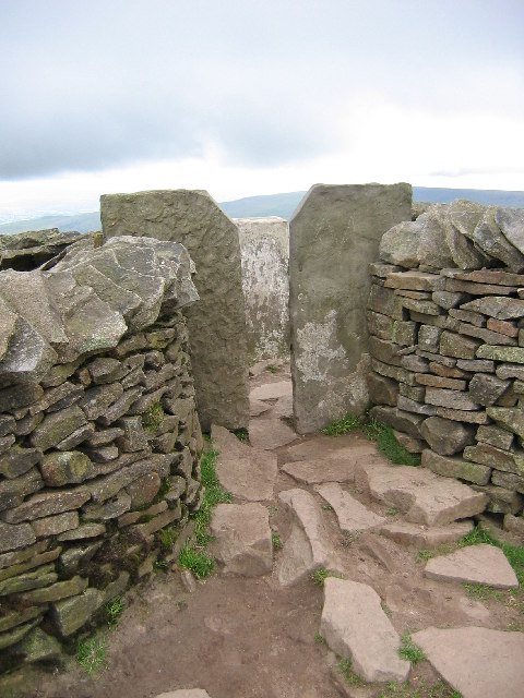
The village itself exudes a quaint and traditional atmosphere, with its stone-built cottages and well-preserved historic buildings. The local community is known for its warm hospitality and friendly demeanor, making Birk Shaw a welcoming destination for tourists.
Birk Shaw is also home to a number of local amenities, including a village pub that serves traditional Yorkshire fare and a small convenience store for everyday needs. The village hosts various events throughout the year, including a summer fair and a Christmas market, which showcase the vibrant community spirit.
For those seeking a peaceful retreat away from the hustle and bustle of city life, Birk Shaw offers a serene and idyllic setting. The combination of its natural beauty, charming village atmosphere, and friendly locals make it a hidden gem in the heart of Yorkshire.
If you have any feedback on the listing, please let us know in the comments section below.
Birk Shaw Images
Images are sourced within 2km of 54.225054/-2.4280818 or Grid Reference SD7281. Thanks to Geograph Open Source API. All images are credited.


Birk Shaw is located at Grid Ref: SD7281 (Lat: 54.225054, Lng: -2.4280818)
Division: West Riding
Administrative County: Cumbria
District: South Lakeland
Police Authority: Cumbria
What 3 Words
///adhesive.machine.gross. Near Ingleton, North Yorkshire
Nearby Locations
Related Wikis
Thornton in Lonsdale
Thornton in Lonsdale is a village and civil parish in the Craven District and ceremonial county of North Yorkshire in England. It is very close to the...

Whernside
Whernside is a mountain in the Yorkshire Dales in Northern England. It is the highest of the Yorkshire Three Peaks, the other two being Ingleborough and...

Green Hill (Lancashire)
Green Hill is a mountain or fell in north west England. Its summit is 628 metres (2,060 ft) above sea level. It is located above Cowan Bridge, Lancashire...

Yordas Cave
Yordas Cave is a solutional cave in Kingsdale, North Yorkshire, England. It has been renowned since the eighteenth century as a natural curiosity, and...
Great Coum
Great Coum is a hill in the Yorkshire Dales, but is located in the South Lakeland district of Cumbria. The highest point is in Dent parish, but the boundary...

Jingling Pot
Jingling Pot is a limestone cave in West Kingsdale, North Yorkshire, England. Located adjacent to Jingling Beck, it is a lenticular-shaped 45-metre (148...
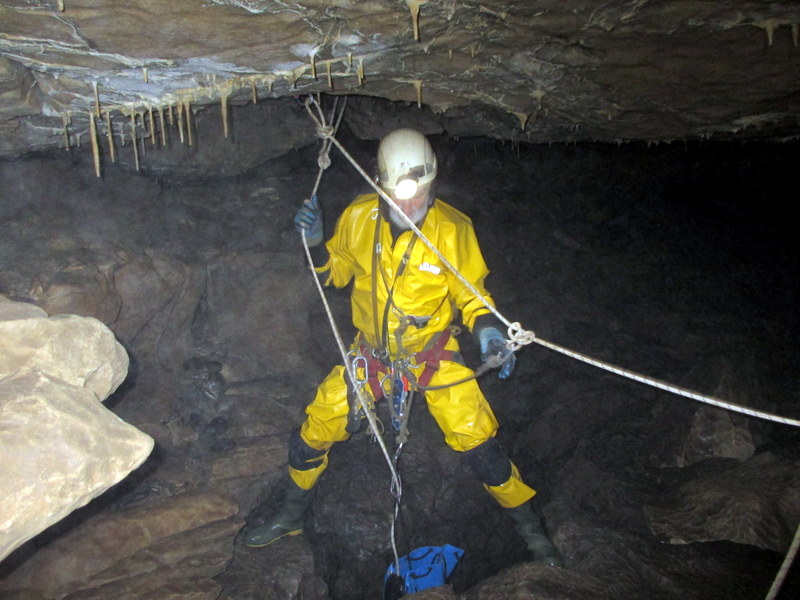
Aquamole Pot
Aquamole Pot is a limestone cave in West Kingsdale, North Yorkshire, England. It was originally discovered by cave divers who negotiated 168 metres (551...
Crag Hill (Yorkshire Dales)
Crag Hill is on the western edge of the Yorkshire Dales in northern England, not to be confused with the higher Crag Hill elsewhere in the county of Cumbria...
Have you been to Birk Shaw?
Leave your review of Birk Shaw below (or comments, questions and feedback).