Blackside Pasture
Downs, Moorland in Yorkshire Craven
England
Blackside Pasture
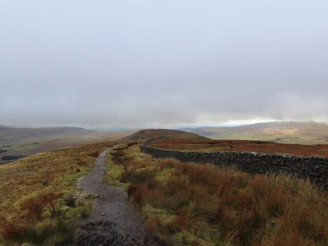
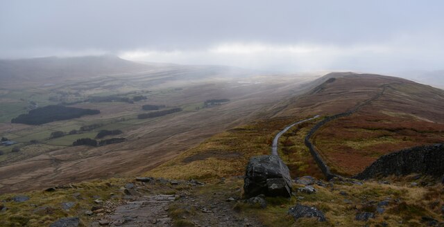
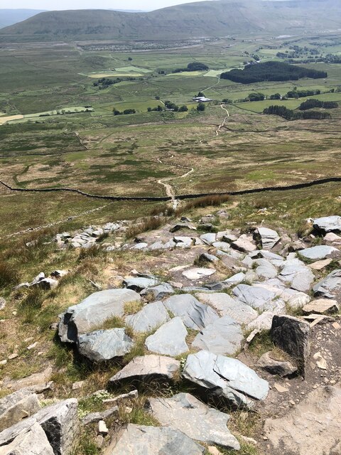
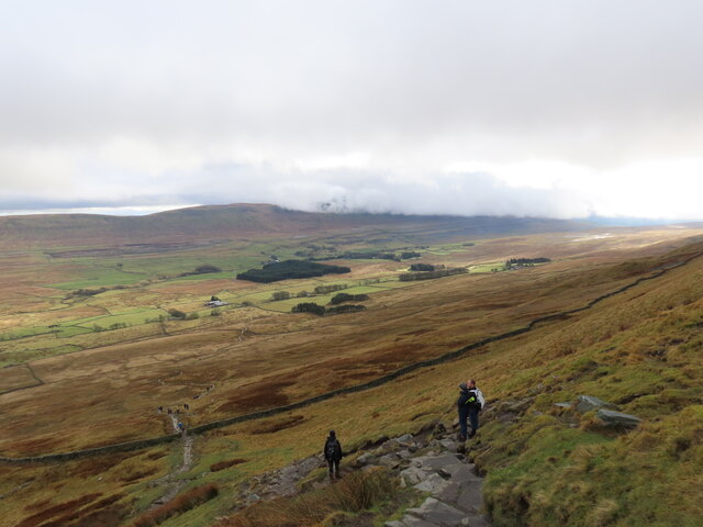
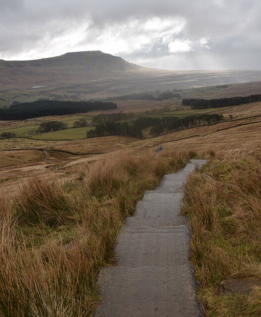
Blackside Pasture is a picturesque expanse of land located in the county of Yorkshire, in northern England. Situated amidst the stunning Yorkshire Downs and Moorland, it covers a vast area of approximately 500 acres. Known for its rugged and wild beauty, Blackside Pasture is a popular destination for nature enthusiasts and hikers looking to explore the untamed landscapes of the region.
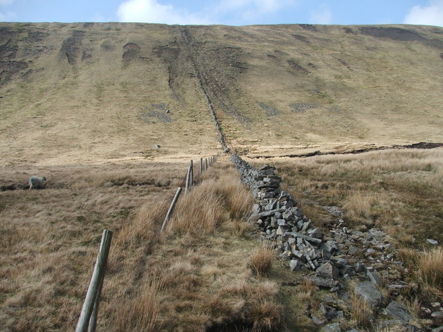
The pasture is characterized by its rolling hills, heather-covered moors, and scattered patches of woodland. It offers breathtaking panoramic views of the surrounding countryside, with its vast open spaces and dramatic hillsides. The terrain is mainly composed of limestone, creating a unique mosaic of grasslands and rocky outcrops.
Wildlife thrives in Blackside Pasture, with a diverse array of species calling it home. Visitors can spot a variety of birds, including peregrine falcons, curlews, and red grouse, soaring through the skies. The moorland is also home to the elusive black grouse, which can be seen during the mating season.
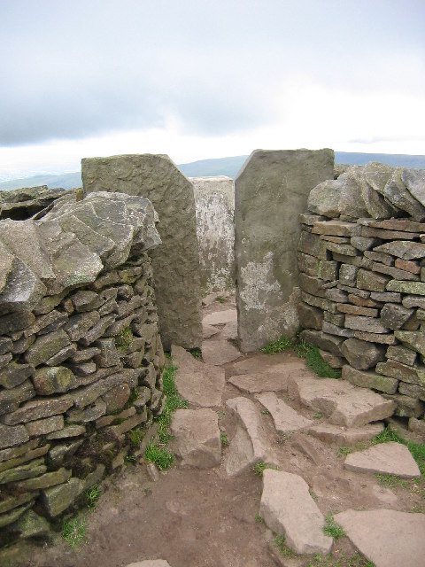
Hiking trails crisscross the pasture, providing opportunities for exploration and discovery. These trails lead adventurers through heather-clad moors, offering glimpses of ancient stone circles and historic ruins along the way. The area is also dotted with sheep farms, showcasing the agricultural heritage of the region.
Blackside Pasture offers a tranquil and remote escape from the bustling cities, inviting visitors to immerse themselves in the breathtaking natural beauty of the Yorkshire Downs and Moorland.
If you have any feedback on the listing, please let us know in the comments section below.
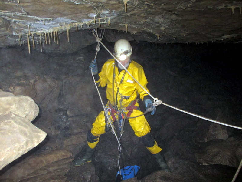
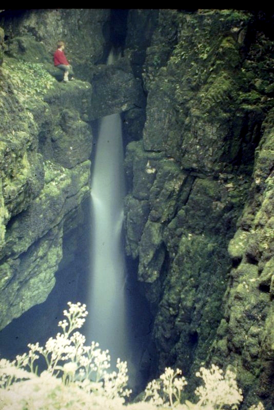
Blackside Pasture Images
Images are sourced within 2km of 54.216931/-2.427645 or Grid Reference SD7280. Thanks to Geograph Open Source API. All images are credited.


Blackside Pasture is located at Grid Ref: SD7280 (Lat: 54.216931, Lng: -2.427645)
Division: West Riding
Administrative County: North Yorkshire
District: Craven
Police Authority: North Yorkshire
What 3 Words
///hands.brothers.decking. Near Ingleton, North Yorkshire
Nearby Locations
Related Wikis
Thornton in Lonsdale
Thornton in Lonsdale is a village and civil parish in the Craven District and ceremonial county of North Yorkshire in England. It is very close to the...

Whernside
Whernside is a mountain in the Yorkshire Dales in Northern England. It is the highest of the Yorkshire Three Peaks, the other two being Ingleborough and...

Yordas Cave
Yordas Cave is a solutional cave in Kingsdale, North Yorkshire, England. It has been renowned since the eighteenth century as a natural curiosity, and...

Green Hill (Lancashire)
Green Hill is a mountain or fell in north west England. Its summit is 628 metres (2,060 ft) above sea level. It is located above Cowan Bridge, Lancashire...

Jingling Pot
Jingling Pot is a limestone cave in West Kingsdale, North Yorkshire, England. Located adjacent to Jingling Beck, it is a lenticular-shaped 45-metre (148...
Aquamole Pot
Aquamole Pot is a limestone cave in West Kingsdale, North Yorkshire, England. It was originally discovered by cave divers who negotiated 168 metres (551...
Weathercote Cave
Weathercote Cave is a natural solutional cave in Chapel-le-Dale, North Yorkshire, England. It has been renowned as a natural curiosity since the eighteenth...

Rowten Pot
Rowten Pot is one of several entrances into the 27-kilometre (17 mi) long cave system that drains Kingsdale in North Yorkshire, England. Its entrance...
Have you been to Blackside Pasture?
Leave your review of Blackside Pasture below (or comments, questions and feedback).