Engine Common

Downs, Moorland in Gloucestershire

England

Engine Common

Tanhouse Lane Road junction at Leechpool.
Tanhouse Lane Credit: Wayland Smith

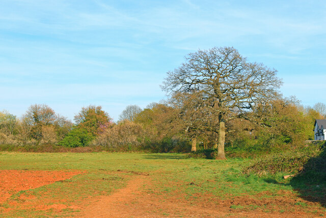
Engine Common is a vast expanse of open land located in Gloucestershire, England. Spanning over several acres, it is primarily characterized by its diverse landscape, consisting of downs and moorland. This unique combination of terrains makes Engine Common a popular destination for nature enthusiasts and outdoor adventurers alike.

The downs of Engine Common are characterized by their rolling hills and expansive views. Covered in lush green grasses and scattered with wildflowers during the warmer months, these downs provide a picturesque setting for leisurely walks or picnics. The gentle slopes also make it an ideal location for kite flying and other recreational activities.

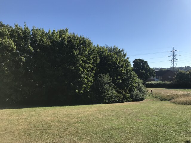
In contrast, the moorland section of Engine Common offers a more rugged and untamed experience. Here, visitors can explore the vast expanses of heather and gorse, which create a vibrant purple and yellow landscape during the blooming season. The moorland is also home to a variety of wildlife, including rare bird species, making it a haven for birdwatchers and wildlife enthusiasts.

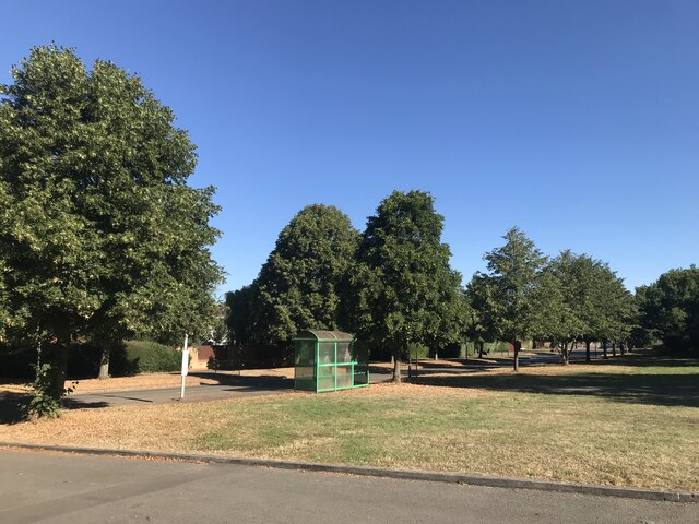
Engine Common is easily accessible, with well-maintained footpaths and trails crisscrossing its entirety. This allows visitors to explore the area at their own pace, taking in the stunning scenery and enjoying the tranquility of this natural oasis. Additionally, there are several designated parking areas and picnic spots, making it a great place for families and groups to spend a day outdoors.

Overall, Engine Common in Gloucestershire offers a unique combination of downs and moorland, providing a diverse and captivating landscape for nature lovers and outdoor enthusiasts to explore and enjoy.

If you have any feedback on the listing, please let us know in the comments section below.

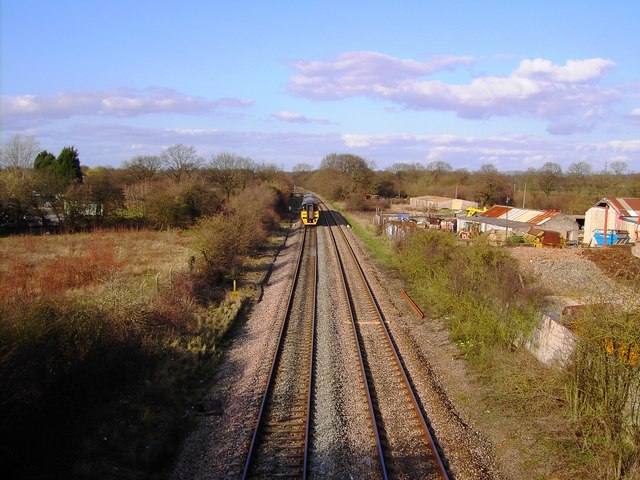
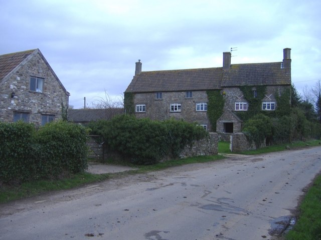
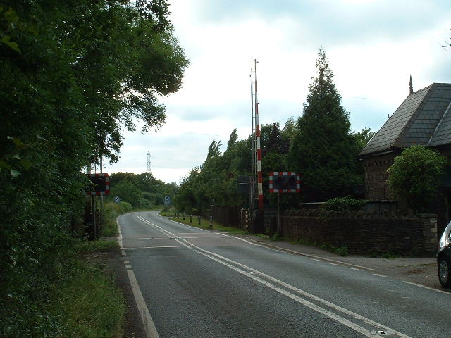
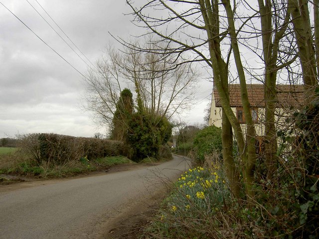
Engine Common Images

Images are sourced within 2km of 51.55707/-2.4428471 or Grid Reference ST6984. Thanks to Geograph Open Source API. All images are credited.

Tanhouse Lane Road junction at Leechpool.
Tanhouse Lane
Road junction at Leechpool.
Engine Common Lane Minor road, near Yate.
Engine Common Lane
Minor road, near Yate.
Field near Yate Near Brimsham Green School.
Field near Yate
Near Brimsham Green School.
Green near Millside
Green near Millside
Open space near Stone Mill
Engine Common Lane Derelict buildings by the road.
Engine Common Lane
Derelict buildings by the road.
Engine Common Lane House on Engine Common Lane. The footpath entrance is by the fence.
Engine Common Lane
House on Engine Common Lane. The footpath entrance is by the fence.
Railway line to Gloucester from Bristol This view shows the line on its way to Gloucester. The image was obtained from just to the east of a road bridge over the railway.
Railway line to Gloucester from Bristol
This view shows the line on its way to Gloucester. The image was obtained from just to the east of a road bridge over the railway.
Railway line to Gloucester from Bristol Viewed looking north. To the east of the line is a waste transfer station.
Railway line to Gloucester from Bristol
Viewed looking north. To the east of the line is a waste transfer station.
Railway line to Gloucester from Bristol, with train The train on the left hand line is heading towards Gloucester on the 'down' line.
Railway line to Gloucester from Bristol, with train
The train on the left hand line is heading towards Gloucester on the 'down' line.
Leechpool Farm On Tankhouse Lane, near Yate Rocks.
Leechpool Farm
On Tankhouse Lane, near Yate Rocks.
Blackberries along the railway platform Yate. At the rear of the ex Tubecon factory, now Billington Structures.
Blackberries along the railway platform Yate.
At the rear of the ex Tubecon factory, now Billington Structures.
Flower or weed?
Flower or weed?
Iron fairy.
Iron fairy.
Autumn is coming fast. Rose hips adjacent to railway line Yate.
Autumn is coming fast.
Rose hips adjacent to railway line Yate.
Jolly boys? Used rice bags now full of small steel plates.
Jolly boys?
Used rice bags now full of small steel plates.
Lime Kiln Road near Rangeworthy
Acton Crossing & Cottage Looking west near centre of square
Acton Crossing & Cottage
Looking west near centre of square
Show me another place!

Engine Common is located at Grid Ref: ST6984 (Lat: 51.55707, Lng: -2.4428471)

Unitary Authority: South Gloucestershire

Police Authority: Avon and Somerset

What 3 Words

///results.deduct.outgrown. Near Yate, Gloucestershire

Nearby Locations

Engine Common

Related Wikis

Yate Town F.C.

Yate Town Football Club is a football club based in Yate, Gloucestershire, England. They are currently members of the Southern League Division One South...
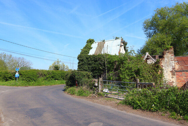
Engine Common

Engine Common is a village in the civil parish of Iron Acton in South Gloucestershire, England. It lies about 1 mile north west of Yate. == References... ==

Rangeworthy

Rangeworthy is a semi-rural farming village in South Gloucestershire, England, nearby communities include Falfield and Charfield. The village population...

Brimsham Green School

Brimsham Green School is a comprehensive secondary school in Yate, South Gloucestershire, England. Situated toward the northern edge of Yate and serving...

Nearby Amenities

Located within 500m of 51.55707,-2.4428471
Power: pole
Source: Bing
Lat/Long: 51.5530078/-2.4447643
Power: pole
Source: Bing
Lat/Long: 51.5537236/-2.4448713
Power: pole
Source: Bing
Lat/Long: 51.5544369/-2.4449858
Power: pole
Source: Bing
Lat/Long: 51.555017/-2.4446273
Power: pole
Source: Bing
Lat/Long: 51.5558623/-2.4441095
Power: pole
Source: Bing
Lat/Long: 51.5566378/-2.4436389
Power: pole
Source: Bing
Lat/Long: 51.5573623/-2.4431821
Power: pole
Source: Bing
Lat/Long: 51.5576996/-2.4424227
Power: pole
Source: Bing
Lat/Long: 51.5580686/-2.4415962
Power: pole
Source: Bing
Lat/Long: 51.5586196/-2.4403077
Power: pole
Source: Bing
Lat/Long: 51.5590005/-2.4368073
Power: pole
Source: Bing
Lat/Long: 51.5590851/-2.4379401
Power: pole
Source: Bing
Lat/Long: 51.5591469/-2.4390306
Power: pole
Lat/Long: 51.5586901/-2.4373434
Man Made: windpump
Lat/Long: 51.5573209/-2.4454318
Direction: 175
Generator Method: photovoltaic
Generator Output Electricity: yes
Generator Solar Modules: 13
Generator Source: solar
Generator Type: solar_photovoltaic_panel
Location: roof
Power: generator
Lat/Long: 51.5593888/-2.4366965
Direction: 270
Generator Method: photovoltaic
Generator Output Electricity: yes
Generator Solar Modules: 12
Generator Source: solar
Generator Type: solar_photovoltaic_panel
Location: roof
Power: generator
Lat/Long: 51.5577697/-2.4364004
Direction: 170
Generator Method: photovoltaic
Generator Output Electricity: yes
Generator Solar Modules: 12
Generator Source: solar
Generator Type: solar_photovoltaic_panel
Location: roof
Power: generator
Lat/Long: 51.5572787/-2.4369068
Direction: 80
Generator Method: photovoltaic
Generator Output Electricity: yes
Generator Solar Modules: 6
Generator Source: solar
Generator Type: solar_photovoltaic_panel
Location: roof
Power: generator
Lat/Long: 51.5566566/-2.4368663
Direction: 260
Generator Method: photovoltaic
Generator Output Electricity: yes
Generator Solar Modules: 10
Generator Source: solar
Generator Type: solar_photovoltaic_panel
Location: roof
Power: generator
Lat/Long: 51.5565416/-2.4369235
Engine Common
Place: village
Wikidata: Q5377675
Wikipedia: en:Engine Common
Lat/Long: 51.5567027/-2.4365451
The data included in this document is from www.openstreetmap.org. The data is made available under ODbL.

Have you been to Engine Common?

Leave your review of Engine Common below (or comments, questions and feedback).