South Lord's Land

Downs, Moorland in Yorkshire South Lakeland

England

South Lord's Land

Milestone by Holme Cottage The milestone is of a design distinctive to this area, a circular column just marked  "S 5" (S standing for Sedbergh).  Listed grade II (list entry 1383912).
Milestone by Holme Cottage Credit: Stephen Craven

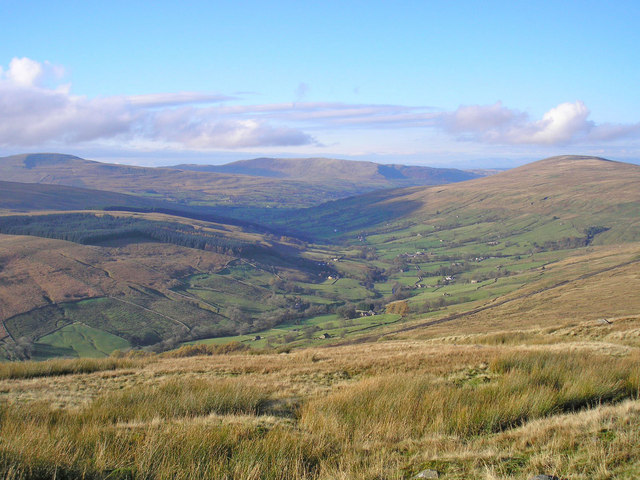
South Lord's Land is a picturesque region located in Yorkshire, England. It is characterized by its stunning landscapes, which include both the serene Yorkshire Downs and the rugged Moorland. This area is renowned for its natural beauty, attracting visitors from all over the world.

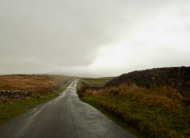
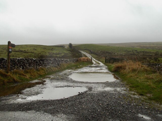
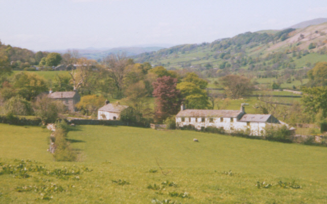
The Yorkshire Downs, found in the southern part of South Lord's Land, offer rolling hills and vast open spaces. The landscape is covered in lush greenery, with patches of colorful wildflowers dotting the countryside. The Downs are ideal for leisurely walks, hikes, and picnics, providing visitors with breathtaking panoramic views of the surrounding countryside.

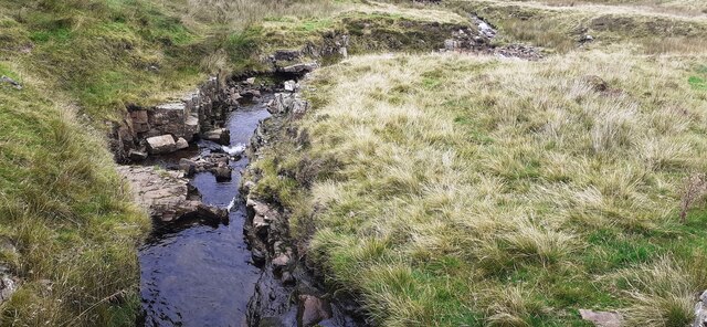
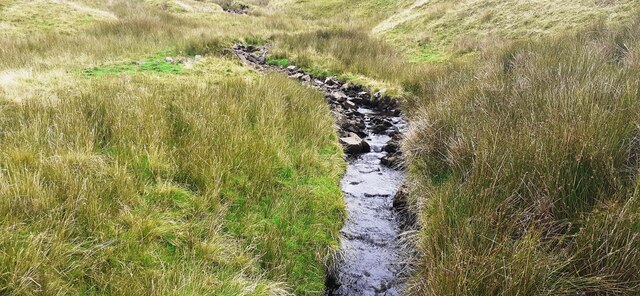
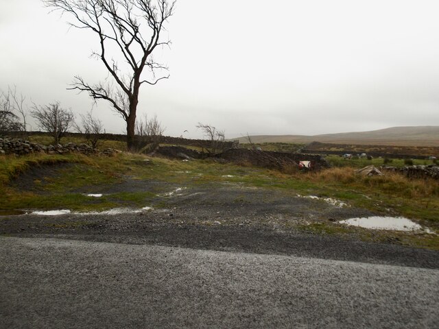
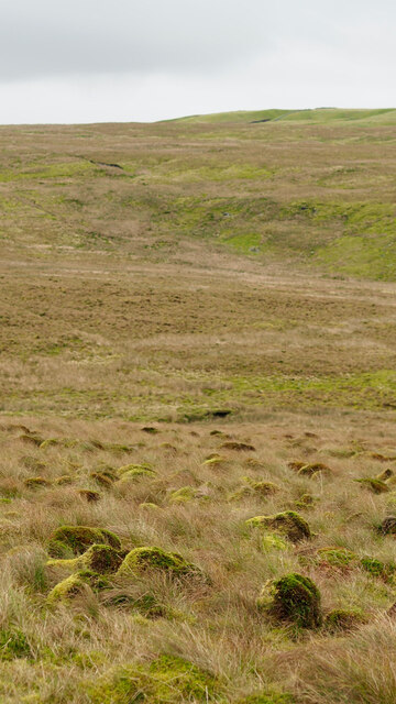
In contrast, the Moorland in South Lord's Land is a wild and untamed landscape. It is characterized by its expanses of heather-covered hills and rocky outcrops. This rugged terrain offers a unique and dramatic beauty, attracting nature enthusiasts and hikers. The Moorland is also home to a diverse range of wildlife, including rare bird species such as curlews and grouse.

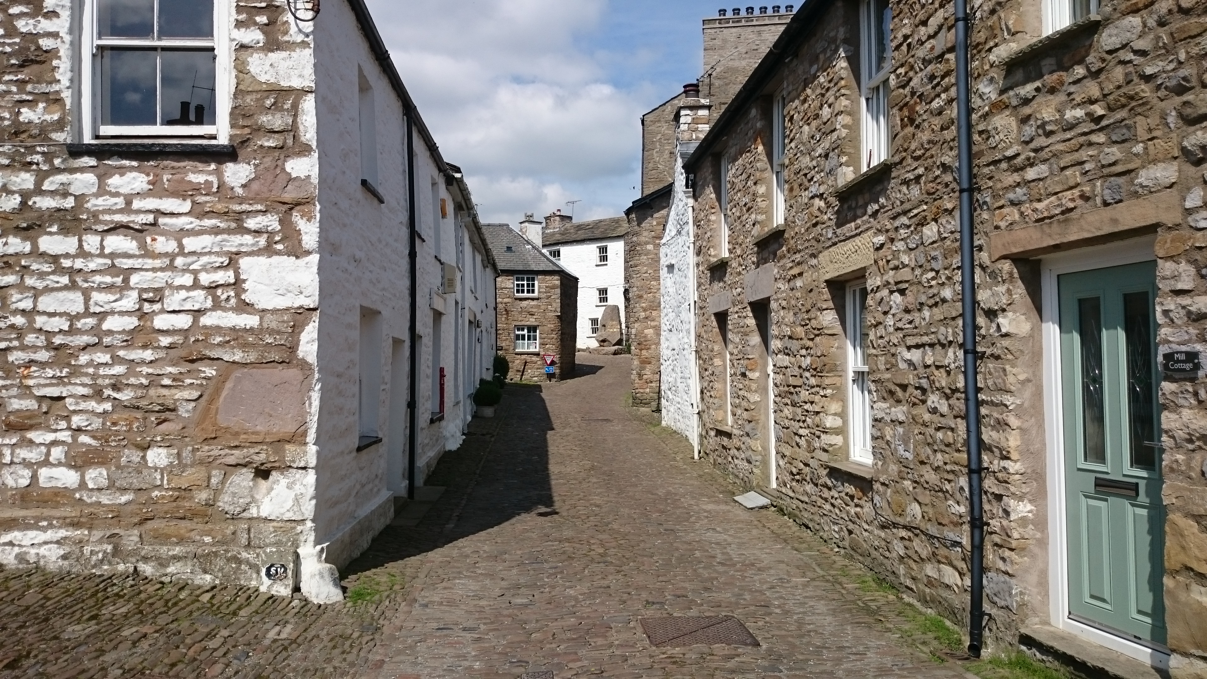
South Lord's Land is not only a haven for nature lovers but also for history enthusiasts. The region is dotted with historic landmarks, including ancient stone circles and Bronze Age burial sites. These sites provide a glimpse into the area's rich and fascinating past.

Overall, South Lord's Land in Yorkshire is a captivating destination for those seeking natural beauty and a touch of history. Its combination of the tranquil Yorkshire Downs and the wild Moorland make it a must-visit location for any nature enthusiast or history buff.

If you have any feedback on the listing, please let us know in the comments section below.

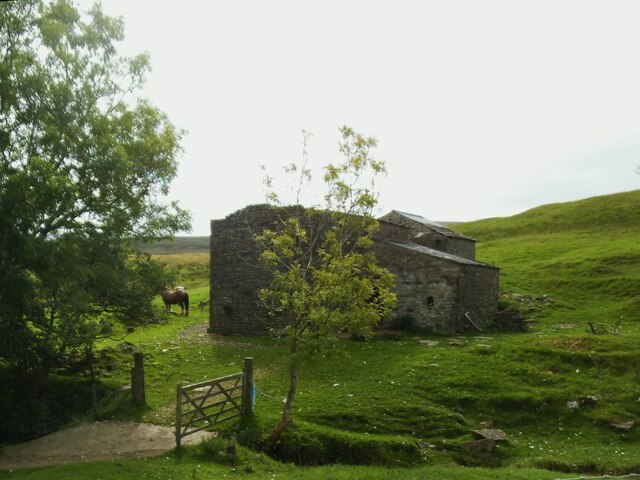
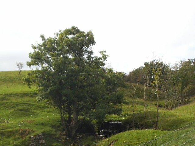
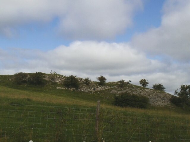
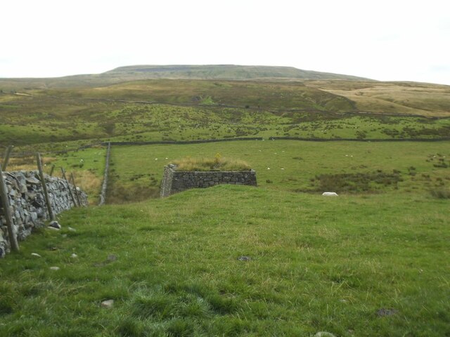
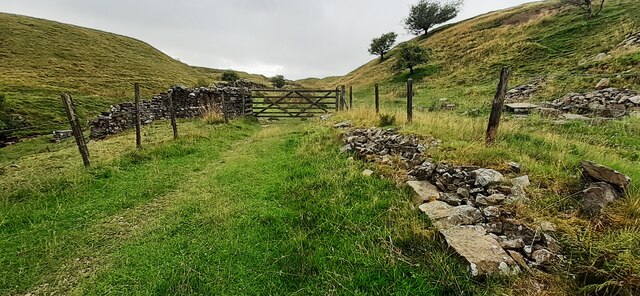
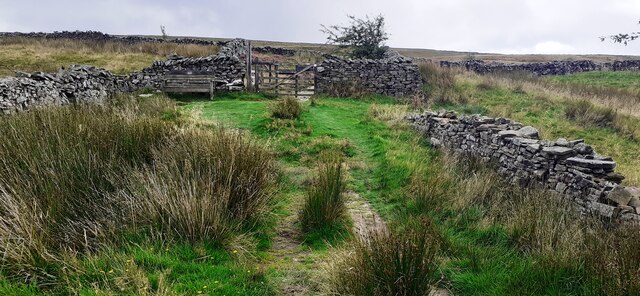
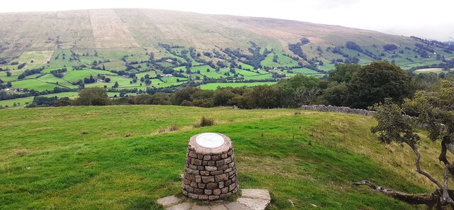
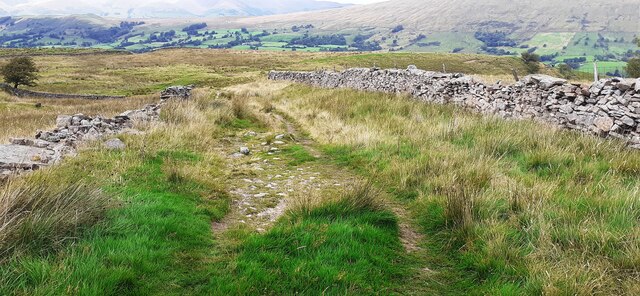
South Lord's Land Images

Images are sourced within 2km of 54.266672/-2.472056 or Grid Reference SD6985. Thanks to Geograph Open Source API. All images are credited.

Milestone by Holme Cottage The milestone is of a design distinctive to this area, a circular column just marked  "S 5" (S standing for Sedbergh).  Listed grade II (list entry 1383912).
Milestone by Holme Cottage
The milestone is of a design distinctive to this area, a circular column just marked "S 5" (S standing for Sedbergh). Listed grade II (list entry 1383912).
Gawthrop A small hamlet around a bridge over Oliver Gill.
Gawthrop
A small hamlet around a bridge over Oliver Gill.
Peas Gill House The main part of the nearer building has lost its roof and any glass in the windows, but the further building may still be in use, as evidenced by the horse nearby.
Peas Gill House
The main part of the nearer building has lost its roof and any glass in the windows, but the further building may still be in use, as evidenced by the horse nearby.
Peas Gill with small waterfall There are a few waterfalls marked on the map along the course of this steep gill, not including the small one in this photo.
Peas Gill with small waterfall
There are a few waterfalls marked on the map along the course of this steep gill, not including the small one in this photo.
Limestone outcrop above Peas Gill The line of the major Dent Fault lies a little further up the hillside, so this must represent nearly the western edge of the limestone Dales.
Limestone outcrop above Peas Gill
The line of the major Dent Fault lies a little further up the hillside, so this must represent nearly the western edge of the limestone Dales.
Lime kiln above Dentdale No longer in use but it seems to have been restored, see <a href="https://www.geograph.org.uk/photo/2313935">SD6886 : Lime Kiln near Keldishaw</a>.  The ridge in the distance is Whernside.
Lime kiln above Dentdale
No longer in use but it seems to have been restored, see SD6886 : Lime Kiln near Keldishaw. The ridge in the distance is Whernside.
Flinter Gill Outrake (track) at gate
Flinter Gill Outrake approaching gate and Green Lane
View over toposcope beside Flinter Gill Outrake
View north along Flinter Gill Outrake
Flinter Gill from Green Lane bridge
View south along Flinter Gill from bridge on Green Lane
Near the highest point on Barbondale Road A bleak spot on a wet November day
Near the highest point on Barbondale Road
A bleak spot on a wet November day
Start of the green lane which runs round Great Coum
A small flat area by the Barbondale Road Parking is at a premium on this road and this offers a little space to stop.
A small flat area by the Barbondale Road
Parking is at a premium on this road and this offers a little space to stop.
Old Bridge Marker on Oliver Bridge at Gawthrop Bridge Marker at the southeast end of the parapet of Oliver Bridge, Oliver Beck, in Gawthrop. Dent parish. W R in raised lettering on adjacent faces to mark the extent of roadway adjoining the bridge that the County was obliged to maintain. See also <span class="nowrap"><a title="http://www.geog.port.ac.uk/webmap/thelakes/photos/bnh63.jpg" rel="nofollow ugc noopener" href="http://www.geog.port.ac.uk/webmap/thelakes/photos/bnh63.jpg">Link</a><img style="margin-left:2px;" alt="External link" title="External link - shift click to open in new window" src="https://s1.geograph.org.uk/img/external.png" width="10" height="10"/></span>.

Milestone Society National ID: YW_DENT07br
Old Bridge Marker on Oliver Bridge at Gawthrop
Bridge Marker at the southeast end of the parapet of Oliver Bridge, Oliver Beck, in Gawthrop. Dent parish. W R in raised lettering on adjacent faces to mark the extent of roadway adjoining the bridge that the County was obliged to maintain. See also LinkExternal link. Milestone Society National ID: YW_DENT07br
Old Bridge Marker on Oliver Bridge at Gawthrop Bridge Marker against the wall of a garage at the east end of the parapet of Oliver Bridge, Oliver Beck, Gawthrop. Dent parish. W R in raised lettering on adjacent faces to mark the extent of roadway adjoining the bridge that the County was obliged to maintain. See also <span class="nowrap"><a title="http://www.geog.port.ac.uk/webmap/thelakes/photos/bnh64.jpg" rel="nofollow ugc noopener" href="http://www.geog.port.ac.uk/webmap/thelakes/photos/bnh64.jpg">Link</a><img style="margin-left:2px;" alt="External link" title="External link - shift click to open in new window" src="https://s1.geograph.org.uk/img/external.png" width="10" height="10"/></span> and <a title="https://www.geograph.org.uk/photo/2993136" href="https://www.geograph.org.uk/photo/2993136">Link</a>

Milestone Society National ID: YW_DENT04br
Old Bridge Marker on Oliver Bridge at Gawthrop
Bridge Marker against the wall of a garage at the east end of the parapet of Oliver Bridge, Oliver Beck, Gawthrop. Dent parish. W R in raised lettering on adjacent faces to mark the extent of roadway adjoining the bridge that the County was obliged to maintain. See also LinkExternal link and Link Milestone Society National ID: YW_DENT04br
Tufts of moss, Hazle Gill Combe
Show me another place!

South Lord's Land is located at Grid Ref: SD6985 (Lat: 54.266672, Lng: -2.472056)

Division: West Riding

Administrative County: Cumbria

District: South Lakeland

Police Authority: Cumbria

What 3 Words

///increased.perform.interlude. Near Sedbergh, Cumbria

Related Wikis

Gawthrop

Gawthrop is a hamlet in the South Lakeland district, in the county of Cumbria, England. Historically part of the West Riding of Yorkshire, it lies within...

Dent, Cumbria

Dent is a village and civil parish in Cumbria, England, within the historic boundaries of the West Riding of Yorkshire. It lies in Dentdale, a narrow valley...

St Andrew's Church, Dent

St Andrew's Church is in the village of Dent, Cumbria, England. It is an active Anglican parish church in the Western Dales Mission Community in the deanery...

Dentdale

Dentdale is a dale or valley in the north-west of the Yorkshire Dales National Park in Cumbria, England. It is the valley of the River Dee, but takes...

Nearby Amenities

Located within 500m of 54.266672,-2.472056
Bench
Lat/Long: 54.267978/-2.4648376
The data included in this document is from www.openstreetmap.org. The data is made available under ODbL.

Have you been to South Lord's Land?

Leave your review of South Lord's Land below (or comments, questions and feedback).