Bill Varry's Moss
Downs, Moorland in Yorkshire South Lakeland
England
Bill Varry's Moss

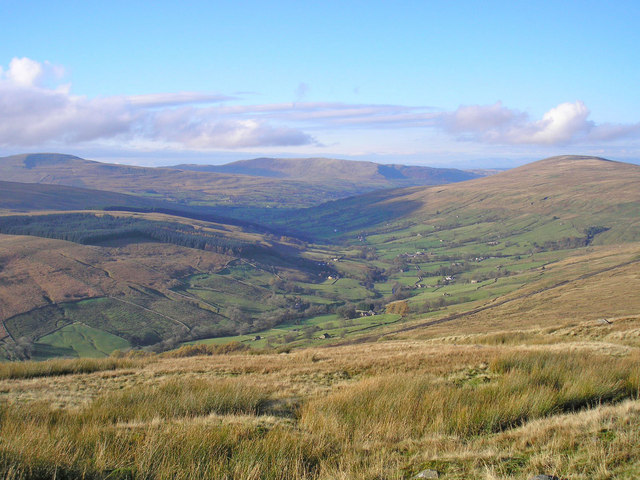
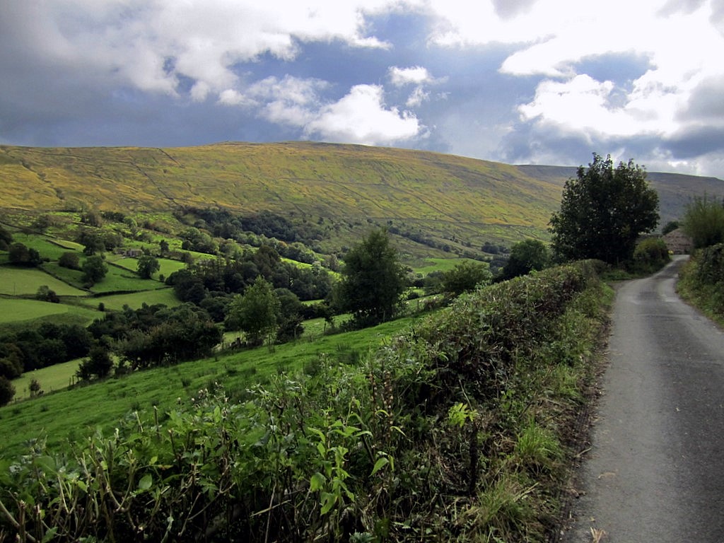
Bill Varry's Moss is a picturesque area located in the heart of Yorkshire, England. Nestled within the beautiful landscape of the Yorkshire Downs, this region offers a unique combination of moorland and rolling hills, creating a captivating and diverse environment.
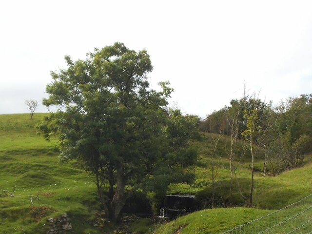
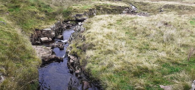
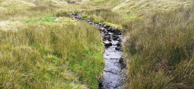
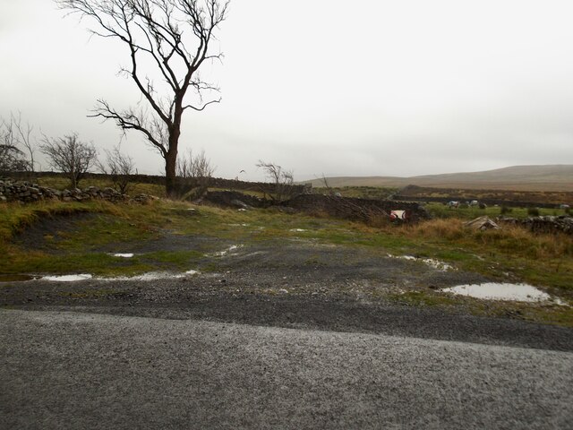
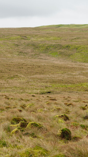
The moss itself is a sprawling expanse of lush green vegetation, blanketing the area with its vibrant colors throughout the year. The moss is home to a wide array of plant and animal species, including heather, gorse, and various types of grasses, as well as an abundance of birdlife, insects, and small mammals.
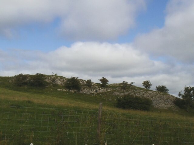
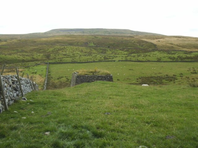
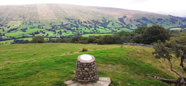
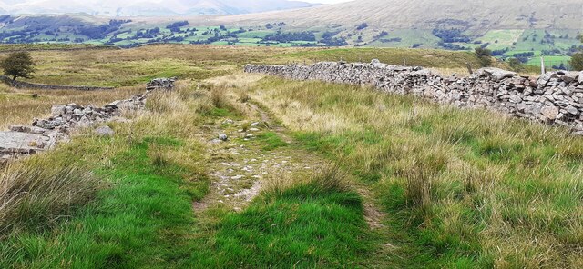
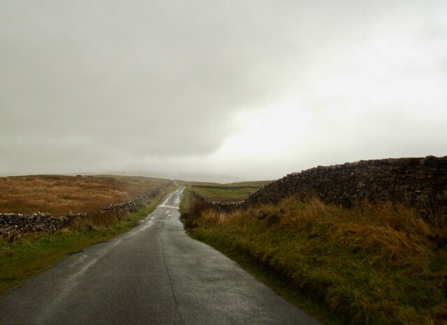
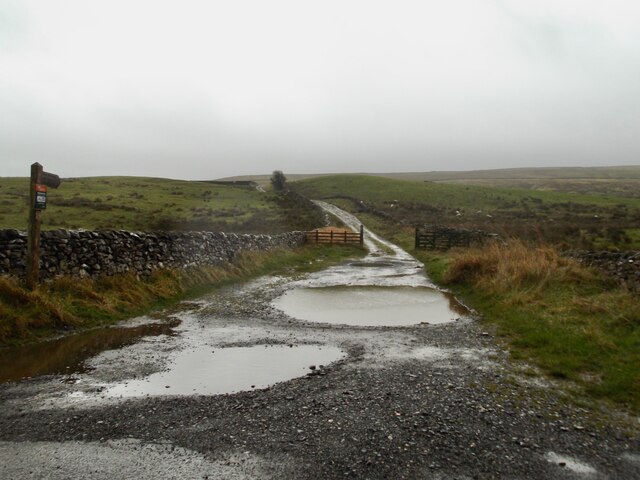
The Yorkshire Downs surrounding the moss provide a dramatic backdrop with their gently undulating hills and breathtaking vistas. The rolling landscape is dotted with patches of heather and bracken, creating a stunning mosaic of colors that change with the seasons. Walking trails crisscross the area, allowing visitors to explore the moss and its surroundings, immersing themselves in the tranquility of nature.
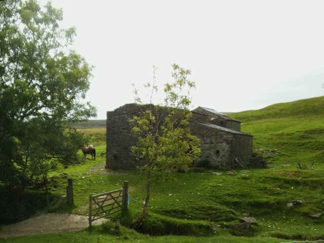
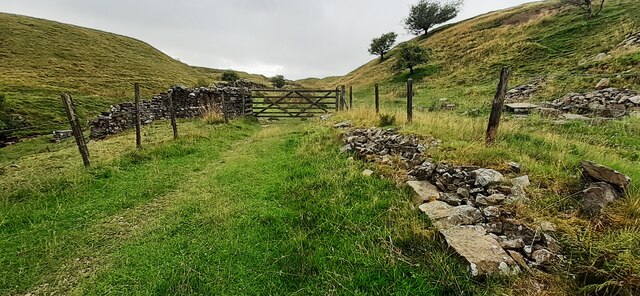
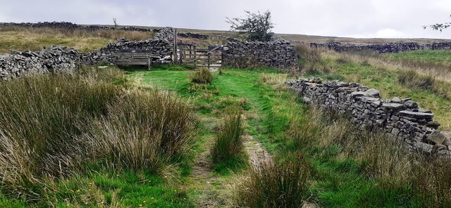
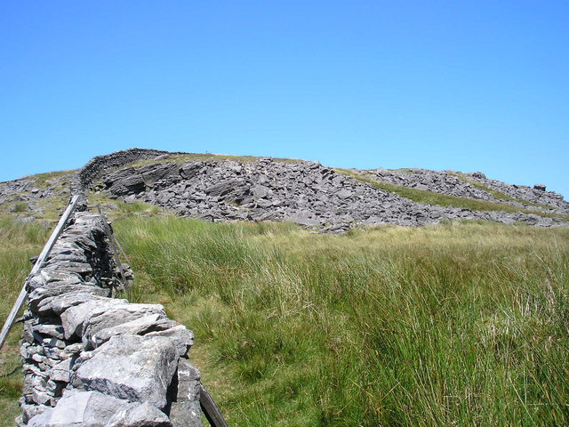
In addition to its natural beauty, Bill Varry's Moss also holds historical significance. The moss has been used for centuries as common grazing land, and evidence of its agricultural past can still be seen in the form of old stone walls and scattered ruins of farm buildings.
Visitors to Bill Varry's Moss can expect to be captivated by its natural charm and serenity. Whether exploring the moss itself, hiking through the Yorkshire Downs, or simply taking in the breathtaking views, this area offers a truly special experience for nature enthusiasts and those seeking a peaceful retreat.
If you have any feedback on the listing, please let us know in the comments section below.
Bill Varry's Moss Images
Images are sourced within 2km of 54.264809/-2.4703459 or Grid Reference SD6985. Thanks to Geograph Open Source API. All images are credited.


Bill Varry's Moss is located at Grid Ref: SD6985 (Lat: 54.264809, Lng: -2.4703459)
Division: West Riding
Administrative County: Cumbria
District: South Lakeland
Police Authority: Cumbria
What 3 Words
///towns.shipwreck.annotated. Near Sedbergh, Cumbria
Nearby Locations
Related Wikis
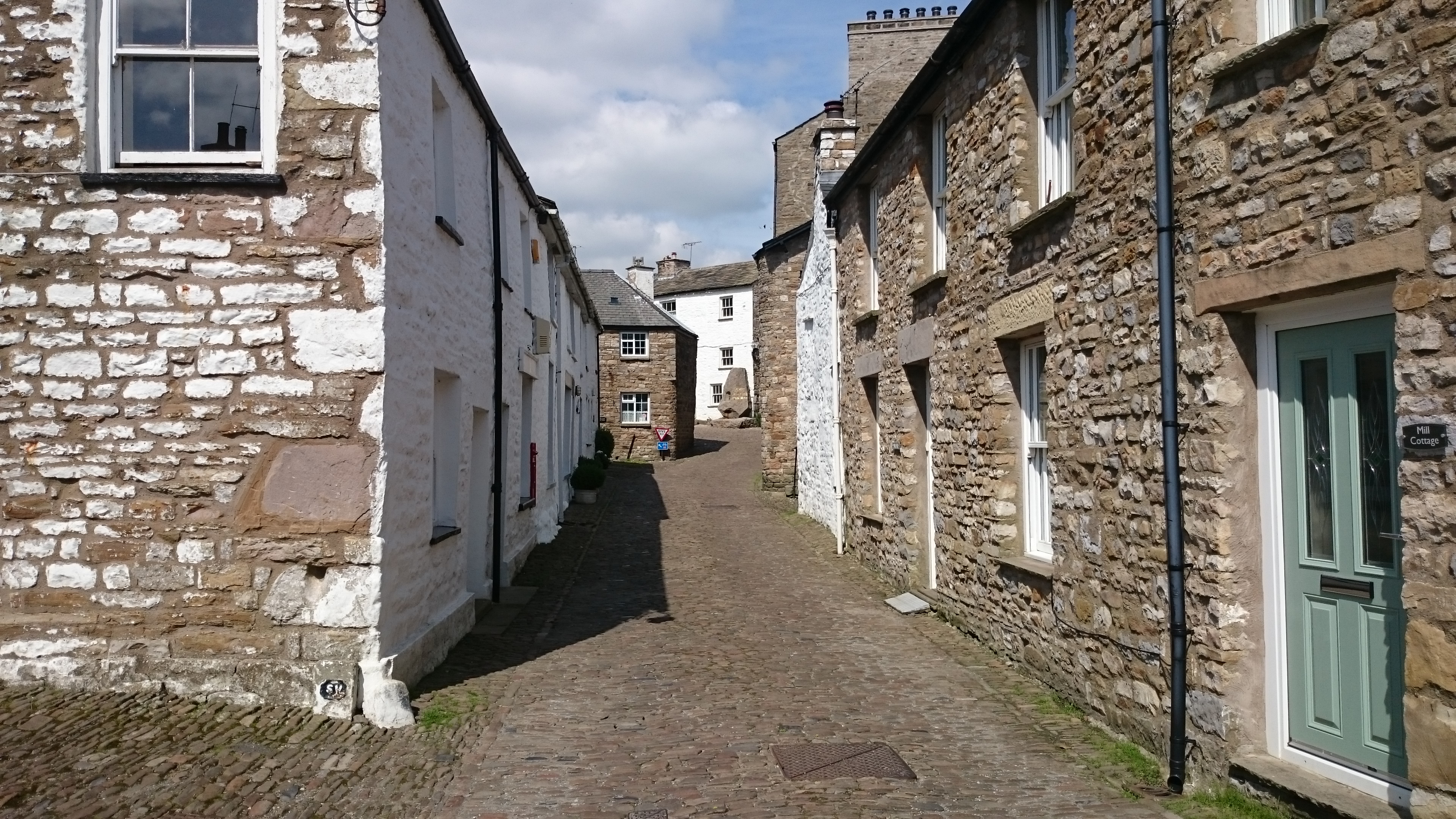
Dent, Cumbria
Dent is a village and civil parish in Cumbria, England, within the historic boundaries of the West Riding of Yorkshire. It lies in Dentdale, a narrow valley...
Gawthrop
Gawthrop is a hamlet in the South Lakeland district, in the county of Cumbria, England. Historically part of the West Riding of Yorkshire, it lies within...
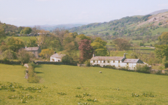
Dentdale
Dentdale is a dale or valley in the north-west of the Yorkshire Dales National Park in Cumbria, England. It is the valley of the River Dee, but takes...

St Andrew's Church, Dent
St Andrew's Church is in the village of Dent, Cumbria, England. It is an active Anglican parish church in the Western Dales Mission Community in the deanery...
Great Coum
Great Coum is a hill in the Yorkshire Dales, but is located in the South Lakeland district of Cumbria. The highest point is in Dent parish, but the boundary...
Crag Hill (Yorkshire Dales)
Crag Hill is on the western edge of the Yorkshire Dales in northern England, not to be confused with the higher Crag Hill elsewhere in the county of Cumbria...
Deepdale, Cumbria
Deepdale is a side valley of Dentdale in the Yorkshire Dales National Park in Cumbria, England. It lies north west of the summit of Whernside. The dale...

Calf Top
Calf Top is a mountain in the western part of the Yorkshire Dales, England. It is located in the county of Cumbria, although Lancashire and North Yorkshire...
Nearby Amenities
Located within 500m of 54.264809,-2.4703459Have you been to Bill Varry's Moss?
Leave your review of Bill Varry's Moss below (or comments, questions and feedback).