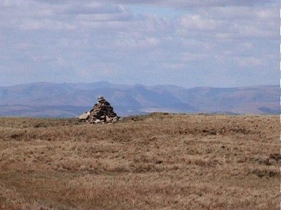
Wold End Moss
Downs, Moorland in Yorkshire South Lakeland
England
Wold End Moss

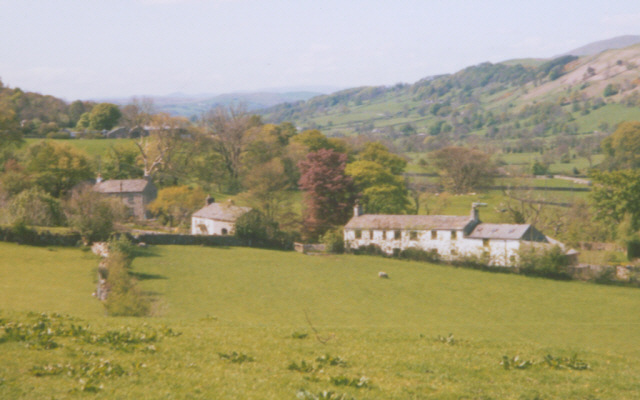
Wold End Moss is a picturesque area located in the county of Yorkshire, England. Situated amidst the stunning Yorkshire Downs and Moorland, this region offers visitors a unique blend of natural beauty and tranquility.
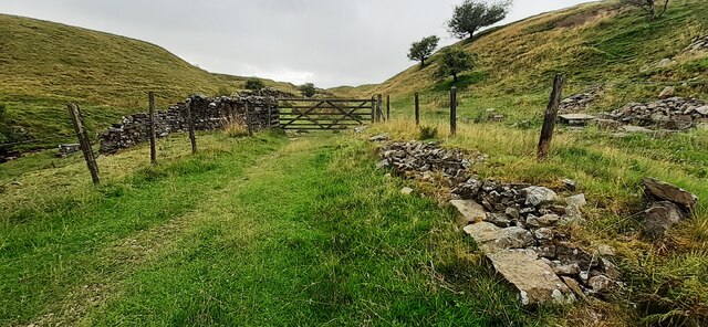
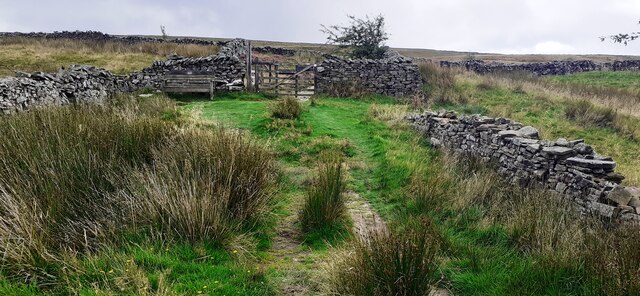
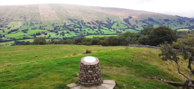
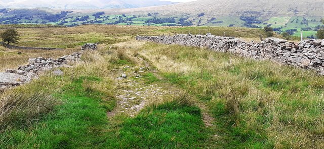
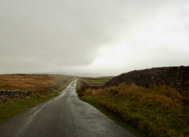
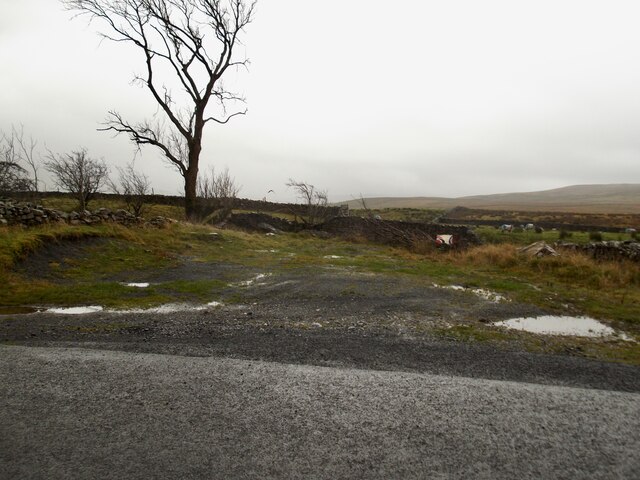
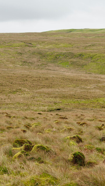
The landscape of Wold End Moss is characterized by rolling hills, vast expanses of open grassland, and moorland dotted with heather. The area is rich in diverse wildlife, including various bird species, such as curlews, lapwings, and skylarks, making it a haven for birdwatchers and nature enthusiasts.
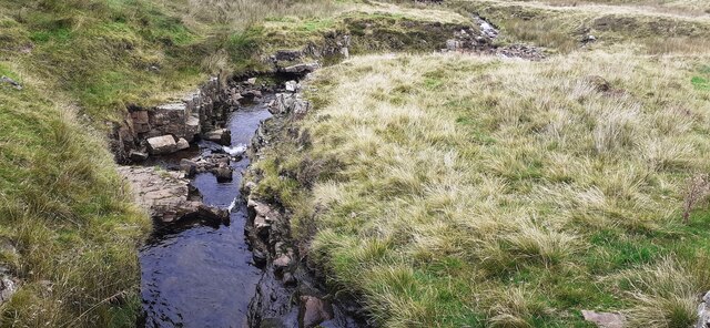
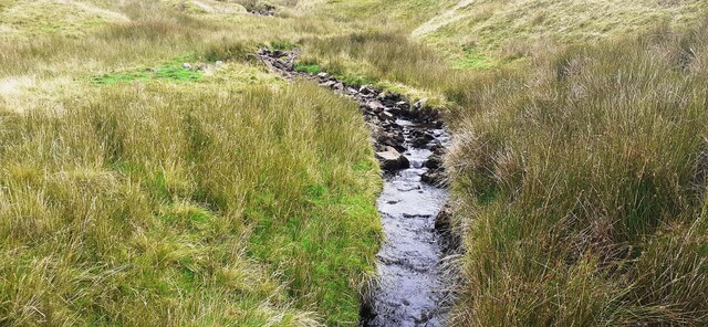
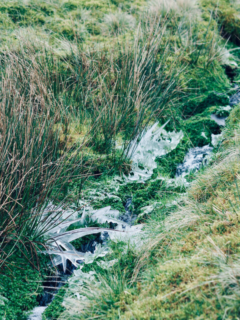
The moss itself is a wetland area, with marshes and peat bogs that are home to a variety of rare plant species. The damp conditions provide an ideal habitat for mosses, ferns, and other moisture-loving flora. The moss is also crisscrossed by numerous streams and small rivers, further adding to its natural charm.
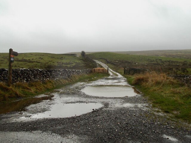
Visitors to Wold End Moss can enjoy a range of outdoor activities. The area offers extensive walking and hiking trails, allowing visitors to explore the stunning scenery and enjoy panoramic views of the surrounding countryside. Additionally, the moss provides an excellent opportunity for birdwatching, with several designated viewing areas and hides available for visitors to observe the local avian population.
Wold End Moss is a place of tranquility, where visitors can escape the hustle and bustle of city life and immerse themselves in the beauty of nature. With its stunning landscapes, diverse wildlife, and abundance of outdoor activities, it is a must-visit destination for anyone seeking a peaceful retreat in the heart of Yorkshire.
If you have any feedback on the listing, please let us know in the comments section below.
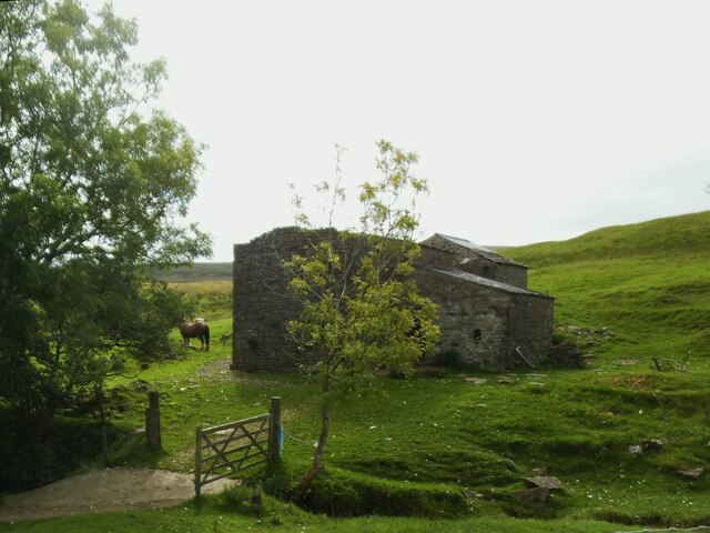
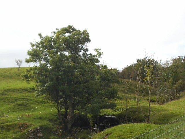
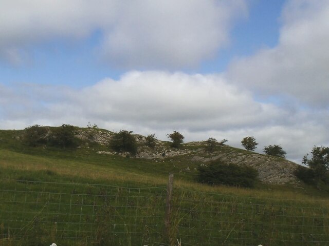
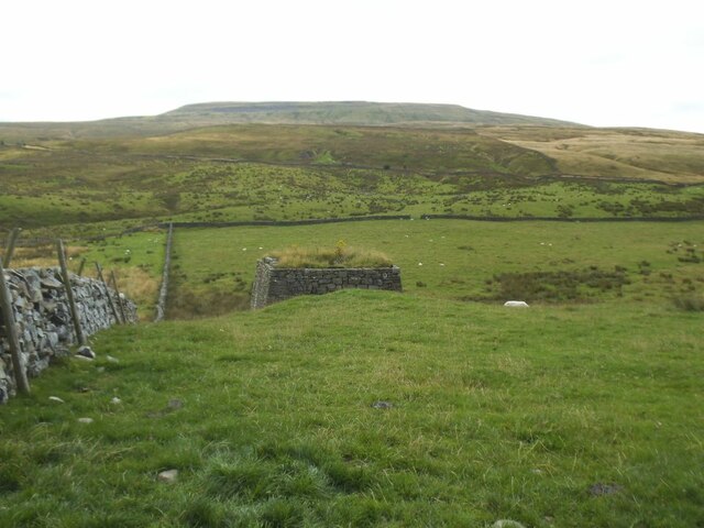
Wold End Moss Images
Images are sourced within 2km of 54.26385/-2.4788096 or Grid Reference SD6885. Thanks to Geograph Open Source API. All images are credited.


Wold End Moss is located at Grid Ref: SD6885 (Lat: 54.26385, Lng: -2.4788096)
Division: West Riding
Administrative County: Cumbria
District: South Lakeland
Police Authority: Cumbria
What 3 Words
///funky.plants.reddish. Near Sedbergh, Cumbria
Nearby Locations
Related Wikis
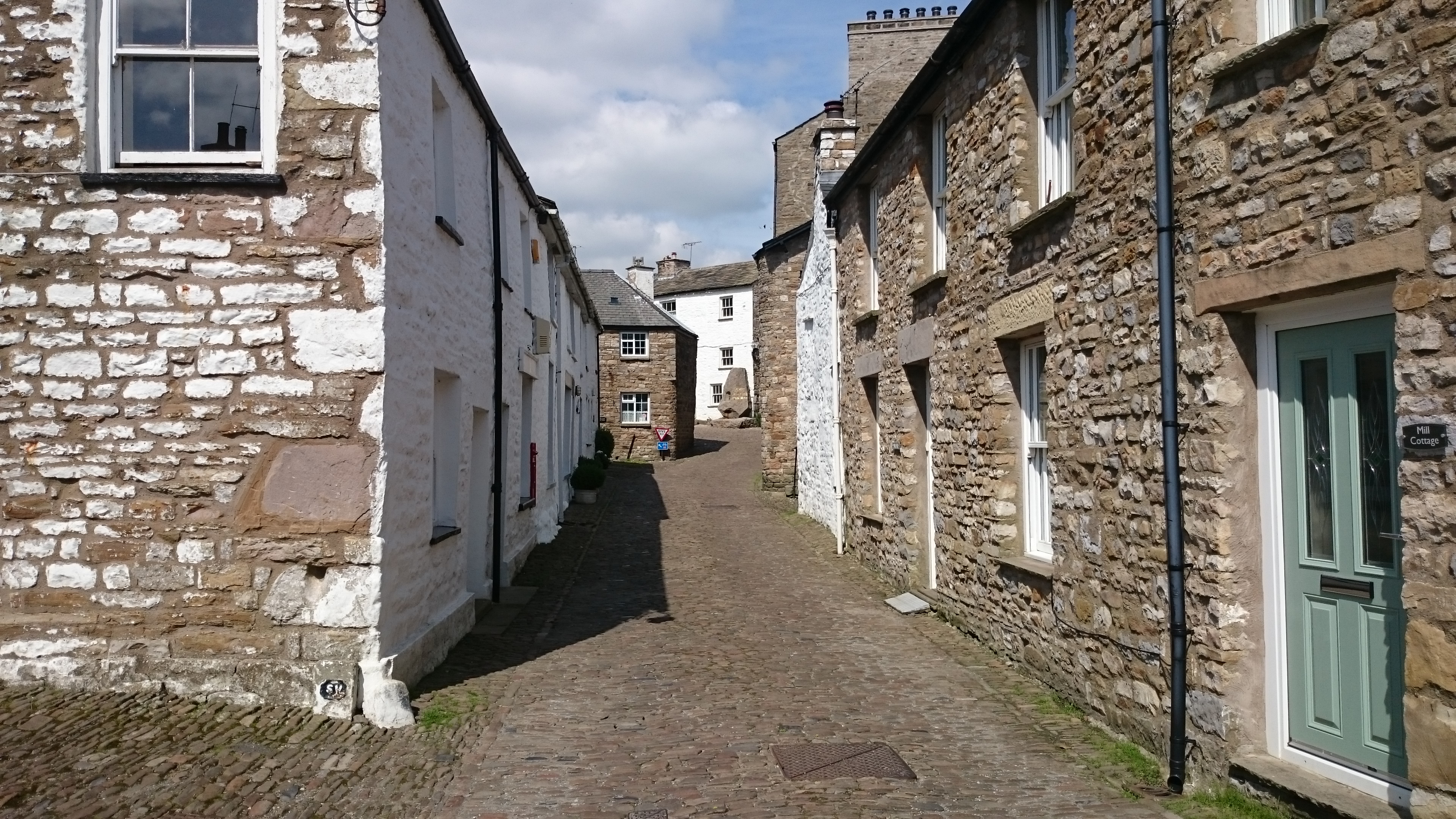
Gawthrop
Gawthrop is a hamlet in the South Lakeland district, in the county of Cumbria, England. Historically part of the West Riding of Yorkshire, it lies within...
Crag Hill (Yorkshire Dales)
Crag Hill is on the western edge of the Yorkshire Dales in northern England, not to be confused with the higher Crag Hill elsewhere in the county of Cumbria...
Dent, Cumbria
Dent is a village and civil parish in Cumbria, England, within the historic boundaries of the West Riding of Yorkshire. It lies in Dentdale, a narrow valley...
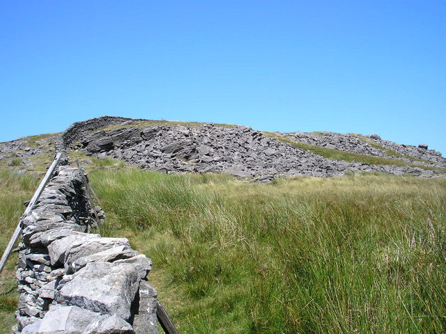
Great Coum
Great Coum is a hill in the Yorkshire Dales, but is located in the South Lakeland district of Cumbria. The highest point is in Dent parish, but the boundary...
Nearby Amenities
Located within 500m of 54.26385,-2.4788096Have you been to Wold End Moss?
Leave your review of Wold End Moss below (or comments, questions and feedback).