Burrells Moor

Downs, Moorland in Westmorland Eden

England

Burrells Moor

Footbridge near Dougles Ing The footbridge carries the public footpath from Rutter to Hoff over Hoff Beck.
Erosion has undermined the bridge pier to the extent that collapse is possible the next time the beck is in flood unless repairs are undertaken in the meantime.
Footbridge near Dougles Ing Credit: Adrian Taylor

Burrells Moor, located in the county of Westmorland in the United Kingdom, is a picturesque region known for its expansive downs and moorland landscapes. Spread across a vast area, this rural setting showcases the beauty of the British countryside.

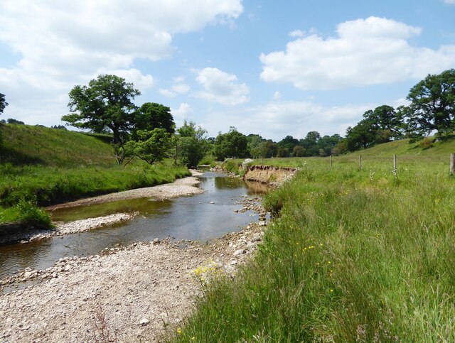
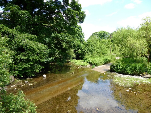
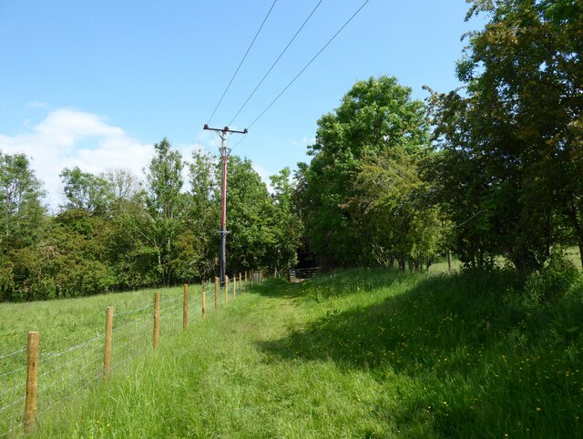
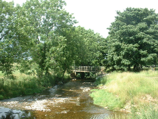
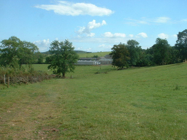
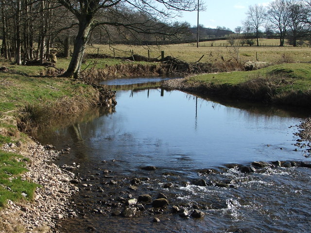
The moorland of Burrells Moor is characterized by its rolling hills, heather-covered plains, and scattered rocky outcrops. The landscape is predominantly made up of open grasslands and shrubbery, with occasional patches of woodland adding to its charm. The area is known for its diverse range of flora and fauna, with numerous species of wildflowers, birds, and small mammals making it their home.

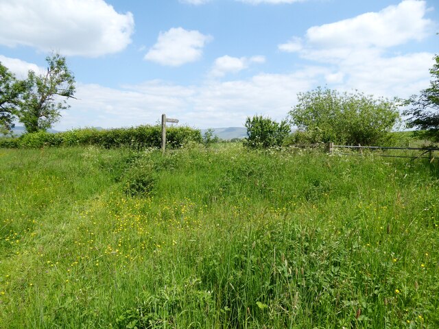
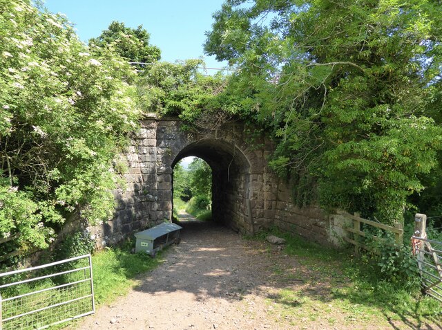
Burrells Moor offers a tranquil and serene environment, making it an ideal destination for nature enthusiasts and hikers. Its well-maintained footpaths and trails allow visitors to explore the moorland at their leisure, providing opportunities to witness breathtaking views of the surrounding countryside.

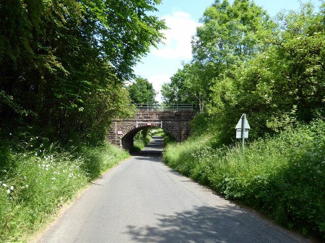
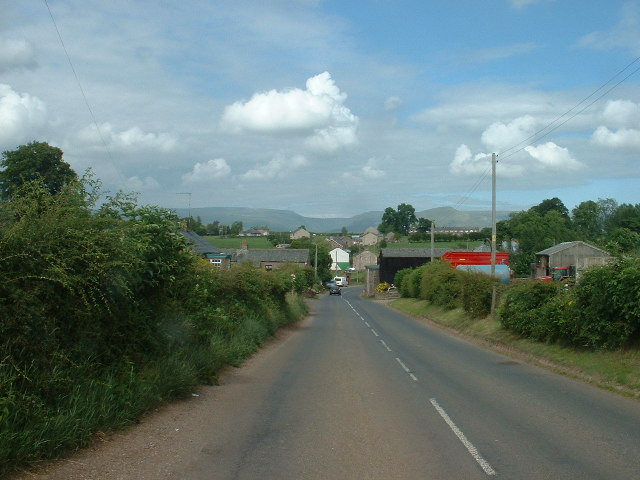
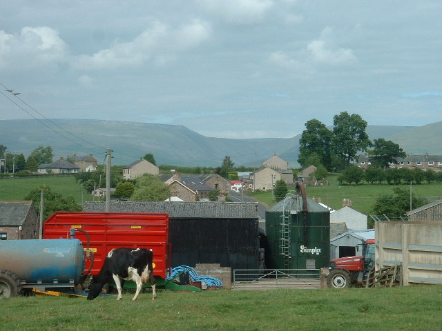
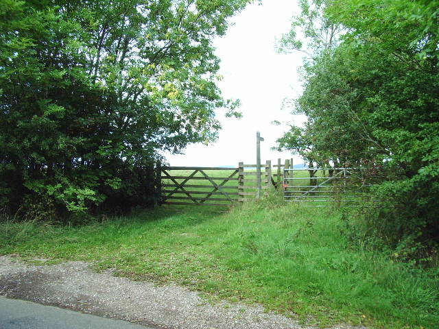
Despite being a remote area, Burrells Moor is not devoid of human influence. There are a few scattered farms and cottages throughout the region, with farmers practicing traditional agricultural methods. These farms contribute to the local economy and add a touch of rural charm to the landscape.

The weather in Burrells Moor can be unpredictable, with the region experiencing the typical British climate of mild summers and cool, damp winters. However, the ever-changing weather patterns only add to the allure of the moorland, creating a unique and ever-evolving atmosphere throughout the year.

In conclusion, Burrells Moor in Westmorland is a stunning expanse of downs and moorland, offering a peaceful escape into the natural beauty of the British countryside.

If you have any feedback on the listing, please let us know in the comments section below.

Burrells Moor Images

Images are sourced within 2km of 54.550373/-2.4822537 or Grid Reference NY6817. Thanks to Geograph Open Source API. All images are credited.

Footbridge near Dougles Ing The footbridge carries the public footpath from Rutter to Hoff over Hoff Beck.
Erosion has undermined the bridge pier to the extent that collapse is possible the next time the beck is in flood unless repairs are undertaken in the meantime.
Footbridge near Dougles Ing
The footbridge carries the public footpath from Rutter to Hoff over Hoff Beck. Erosion has undermined the bridge pier to the extent that collapse is possible the next time the beck is in flood unless repairs are undertaken in the meantime.
Hoff Beck near Rutter
Rutter Mill Ford Rutter Mill Ford carries a minor road across Hoff Beck a short distance below Rutter Force.
Warm dry weather has encouraged the formation of a large mat of water crowfoot (with white flowers) in the slow moving water.
Rutter Mill Ford
Rutter Mill Ford carries a minor road across Hoff Beck a short distance below Rutter Force. Warm dry weather has encouraged the formation of a large mat of water crowfoot (with white flowers) in the slow moving water.
Public Footpath, Broadmire Road The lush summer vegetation on the wide grass verge of Broadmire Road is crossed by a public footpath leading to a stile.  The footpath sign points to Donkeys Nest.
Public Footpath, Broadmire Road
The lush summer vegetation on the wide grass verge of Broadmire Road is crossed by a public footpath leading to a stile. The footpath sign points to Donkeys Nest.
Leazes Hill Bridge, Ormside Leazes Hill Bridge is bridge number 229 on the Settle Carlisle Railway.  It crosses the minor road leading to Great Ormside.
Leazes Hill Bridge, Ormside
Leazes Hill Bridge is bridge number 229 on the Settle Carlisle Railway. It crosses the minor road leading to Great Ormside.
The Eden valley south of Appleby The characteristic red sandstone of Westmorland can be seen in the colour of the soil of a recently ploughed field.
The Eden valley south of Appleby
The characteristic red sandstone of Westmorland can be seen in the colour of the soil of a recently ploughed field.
Footpath near Ormside Hall Bridge This is the public footpath from Appleby to Great Ormside.  Beyond the gate the footpath passes under the Settle to Carlisle railway (see photograph <a href="https://www.geograph.org.uk/photo/6973171">NY6917 : Ormside Hall Bridge</a>).
Footpath near Ormside Hall Bridge
This is the public footpath from Appleby to Great Ormside. Beyond the gate the footpath passes under the Settle to Carlisle railway (see photograph NY6917 : Ormside Hall Bridge).
Ormside Hall Bridge Bridge number 230, Ormside Hall Bridge carries the Settle to Carlisle railway over a farm track and the public footpath from Appleby to Great Ormside.
Ormside Hall Bridge
Bridge number 230, Ormside Hall Bridge carries the Settle to Carlisle railway over a farm track and the public footpath from Appleby to Great Ormside.
Rutter Force Waterfalls on Hoff Beck. The mill to the right was used to generate electricity for the nearby village of Great Asby. There is now a tearoom at Rutter.
Update to comment [Feb 07]: The tearoom is no longer open as it's been changed to a self-catering apartment. The mill in the photo is also now a self-catering apartment.
Rutter Force
Waterfalls on Hoff Beck. The mill to the right was used to generate electricity for the nearby village of Great Asby. There is now a tearoom at Rutter. Update to comment [Feb 07]: The tearoom is no longer open as it's been changed to a self-catering apartment. The mill in the photo is also now a self-catering apartment.
Hoff Beck, near Appleby
Footbridge on Hoff Beck, near Appleby
Footbridge, Hoff Beck at Hoff, near Appleby Hoff Village, and the pub, are just beyond the trees.
Footbridge, Hoff Beck at Hoff, near Appleby
Hoff Village, and the pub, are just beyond the trees.
Burrells Village, near Appleby Looking north
Burrells Village, near Appleby
Looking north
Burrells Village, near Appleby Looking north. The deep incut of High Cup Nick is visible on the horizon
Burrells Village, near Appleby
Looking north. The deep incut of High Cup Nick is visible on the horizon
Lookingflatt Farm, near Hoff Looking east
Lookingflatt Farm, near Hoff
Looking east
Hoff Beck
Hoff Beck
Bridleway to Ormside Mill
The Entrance to Wild Rose Caravan Park
Show me another place!

Burrells Moor is located at Grid Ref: NY6817 (Lat: 54.550373, Lng: -2.4822537)

Administrative County: Cumbria

District: Eden

Police Authority: Cumbria

What 3 Words

///worlds.fewest.emeralds. Near Appleby-in-Westmorland, Cumbria

Related Wikis

Ormside railway station

Ormside railway station was a station at Ormside, England, on the Midland Railway Settle-Carlisle Line. It was located 33+1⁄4 miles (53.5 km) south of...

Great Ormside

Great Ormside is a small village in the parish of Ormside, in the Eden District, in the English county of Cumbria. It is a few miles away from the small...

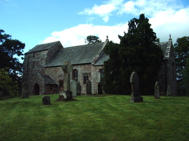
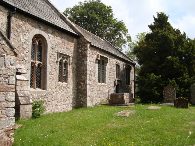
St James' Church, Great Ormside

St James' Church is in the village of Great Ormside, Cumbria, England. It is an active Anglican parish church in the deanery of Appleby, the archdeaconry...
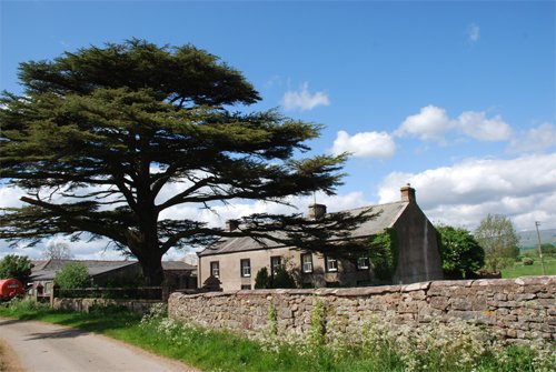
Hoff, Cumbria

Hoff is a hamlet and civil parish in the Eden district of the county of Cumbria, England. At the 2001 census the parish had a population of 189, decreasing...
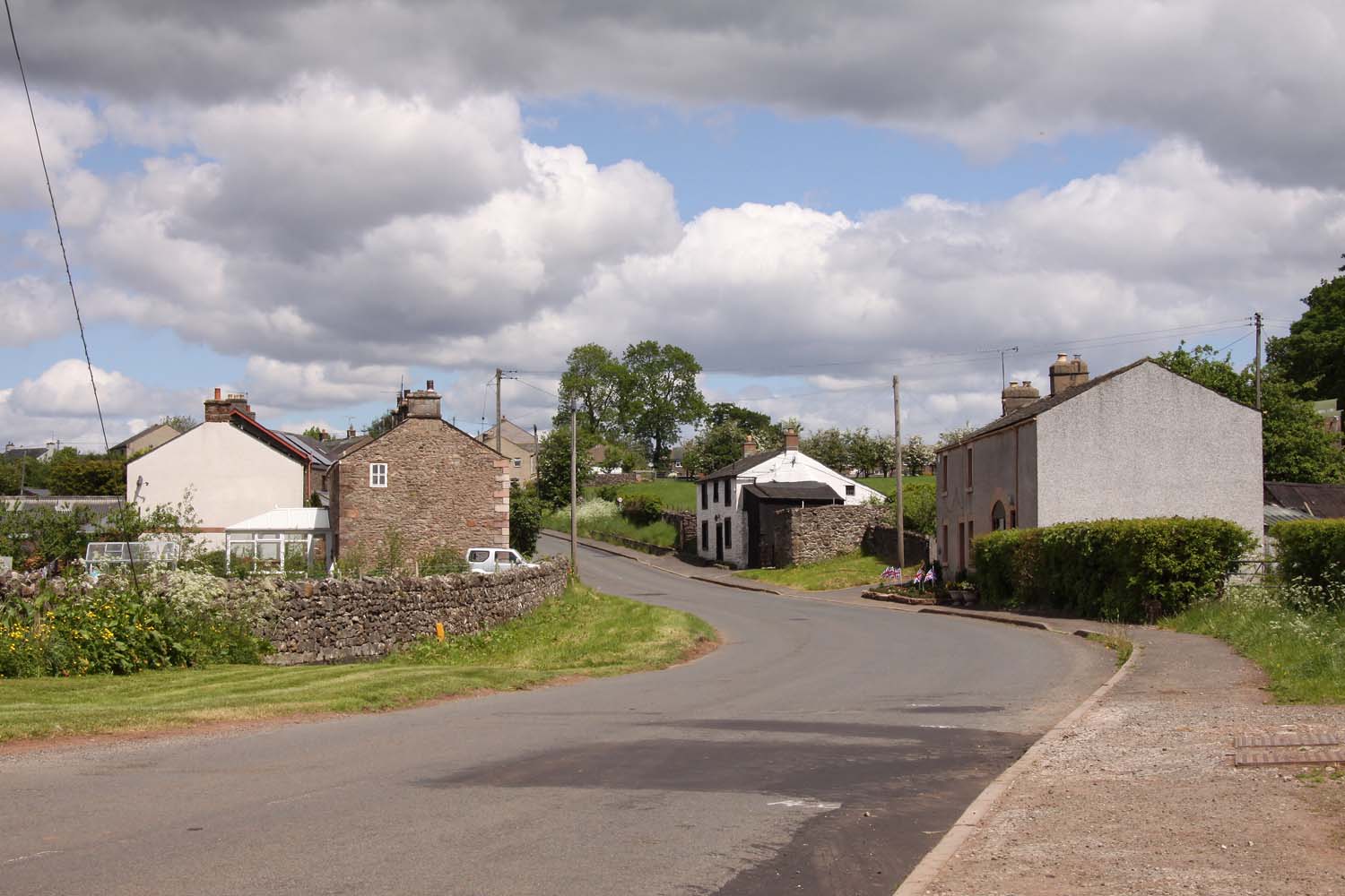
Burrells

Burrells is a hamlet in the Eden District, in the English county of Cumbria. Burrells is located on the B6260 Road in between the town of Appleby-in-Westmorland...

Ormside

Ormside is a civil parish in the Eden District of Cumbria, England, which includes the village of Great Ormside and the hamlet of Little Ormside. It had...

Little Ormside

Little Ormside is a hamlet in the parish of Ormside, in the Eden District, in the English county of Cumbria. == Location == It is a few miles away from...
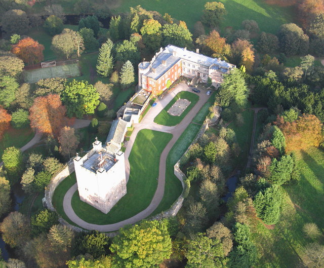
Appleby Castle

Appleby Castle is in the town of Appleby-in-Westmorland overlooking the River Eden (grid reference NY685200). It consists of a 12th-century castle keep...

Nearby Amenities

Located within 500m of 54.550373,-2.4822537
Lookingflatt Wood
Natural: wood
Source: OS OpenData StreetView
Lat/Long: 54.5529324/-2.4772191
Power: pole
Lat/Long: 54.5515193/-2.4749858
Power: pole
Lat/Long: 54.5518424/-2.4759859
Power: pole
Lat/Long: 54.5522031/-2.4770958
Power: pole
Lat/Long: 54.5526582/-2.4785228
Power: pole
Lat/Long: 54.55346/-2.4797863
Power: pole
Lat/Long: 54.5530035/-2.4808561
Power: pole
Lat/Long: 54.5540712/-2.4807117
Power: pole
Lat/Long: 54.5547936/-2.4818507
Power: pole
Lat/Long: 54.5525024/-2.4820642
Power: pole
Lat/Long: 54.5521446/-2.4829224
Power: pole
Lat/Long: 54.5517513/-2.4838695
Power: pole
Lat/Long: 54.5513281/-2.4852221
Power: pole
Lat/Long: 54.5510689/-2.4860545
Power: pole
Lat/Long: 54.5506629/-2.4873714
Power: pole
Lat/Long: 54.5501801/-2.4889612
The data included in this document is from www.openstreetmap.org. The data is made available under ODbL.

Have you been to Burrells Moor?

Leave your review of Burrells Moor below (or comments, questions and feedback).