Anton Moss
Downs, Moorland in Yorkshire South Lakeland
England
Anton Moss
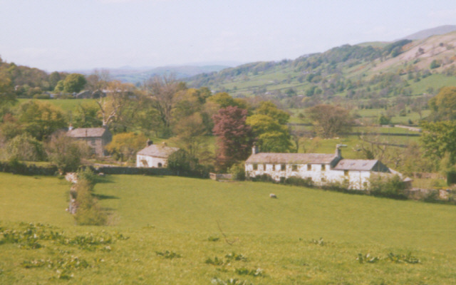
Anton Moss is a picturesque village located in the county of Yorkshire, England. Nestled amidst the stunning landscapes of the Yorkshire Downs and Moorland, it offers breathtaking views and a serene atmosphere to its residents and visitors alike.
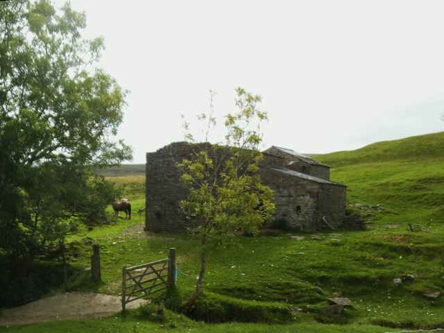
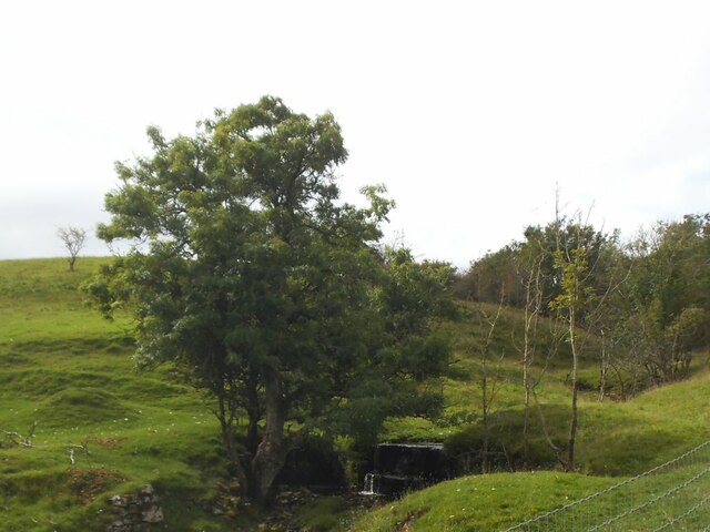
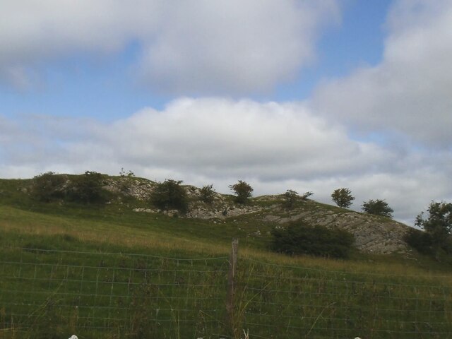
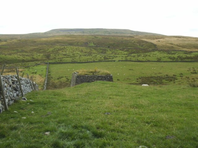
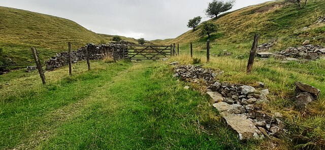
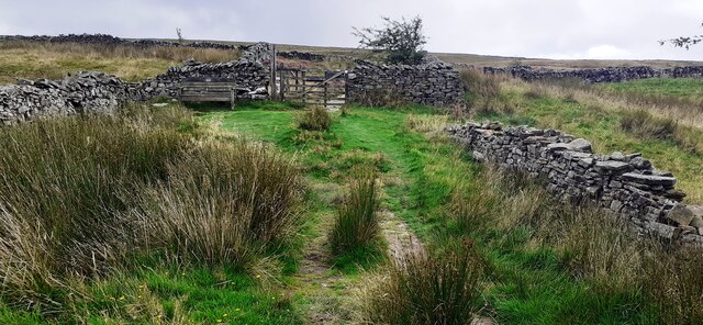
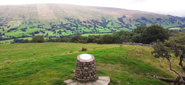
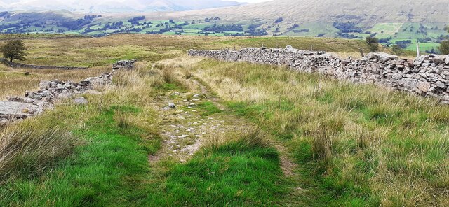
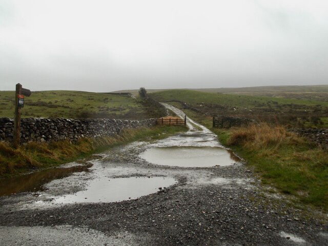
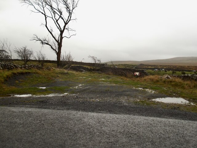
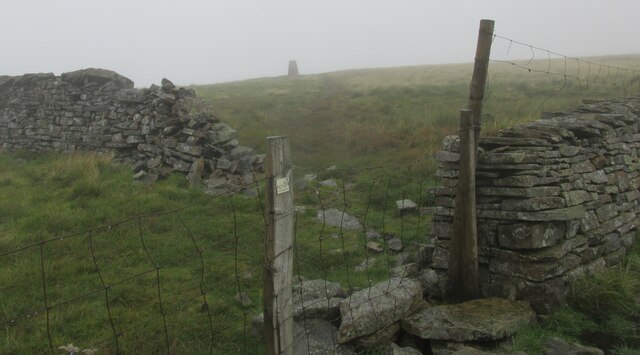
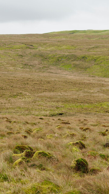
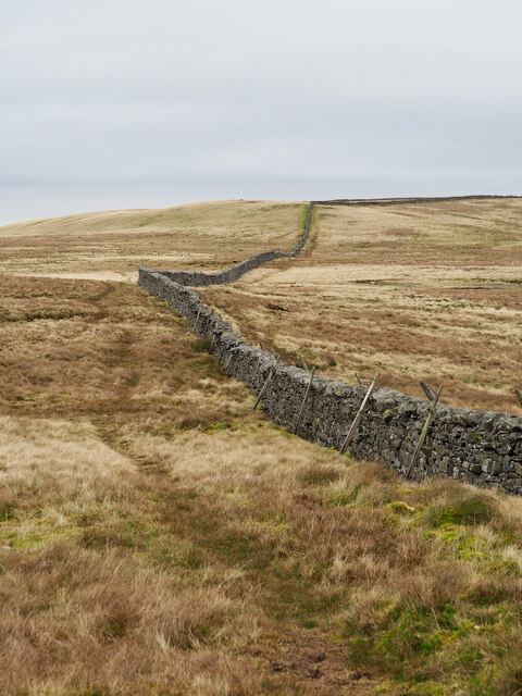
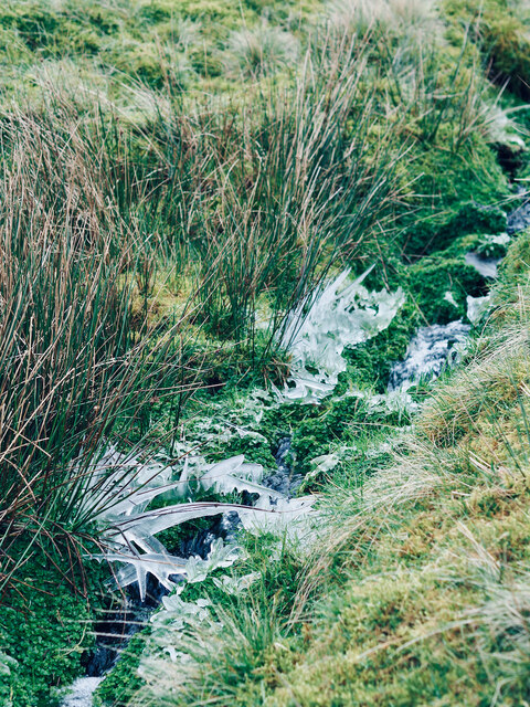
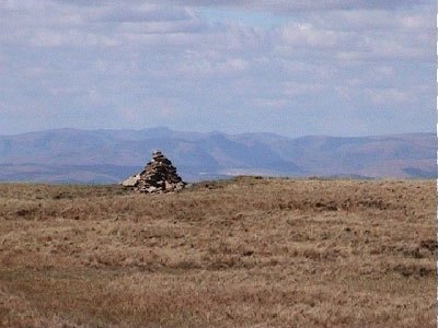
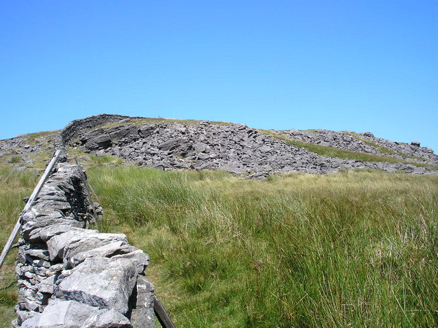
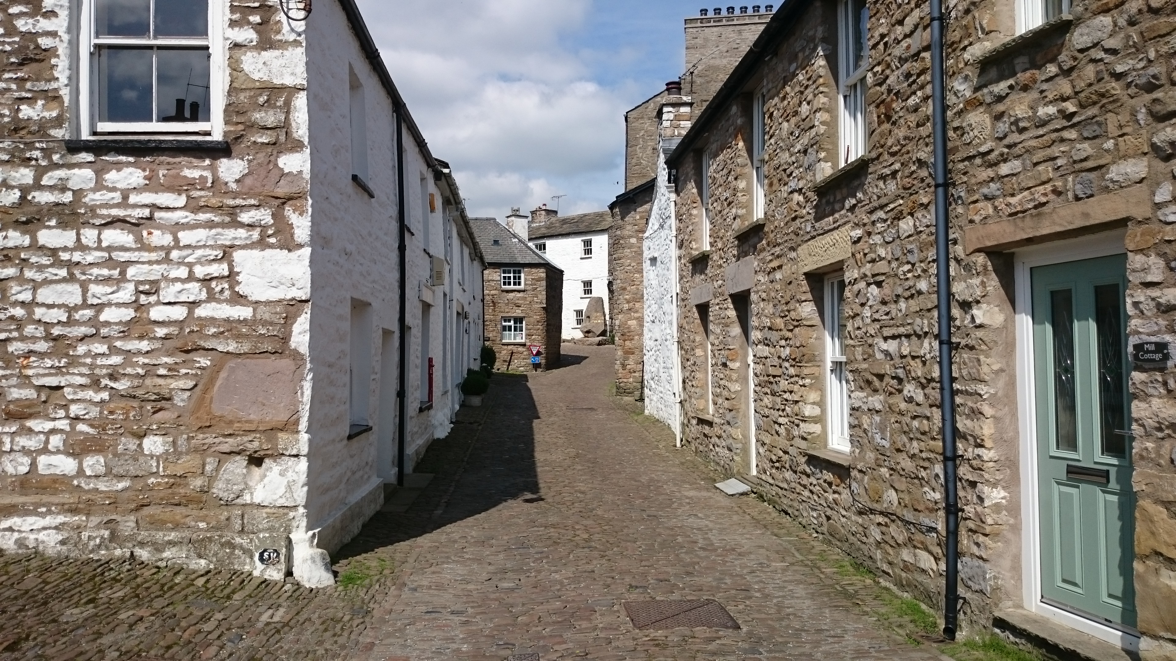
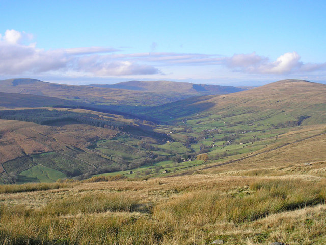
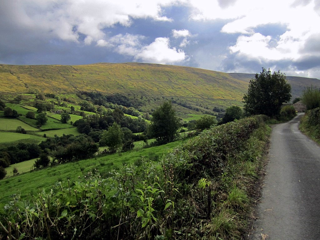
The village is adorned with traditional stone cottages, giving it a charming and rustic feel. The surrounding countryside is characterized by rolling hills, lush green fields, and vast expanses of heather-covered moorland. This natural beauty attracts hikers, nature enthusiasts, and photographers who are captivated by its enchanting scenery.
Anton Moss is also known for its rich history, with evidence of human habitation dating back to ancient times. The village boasts several historic sites, including a medieval church with beautiful stained glass windows and a well-preserved Norman castle.
Despite its tranquil ambiance, Anton Moss is not isolated from modern amenities. It is equipped with essential facilities such as a village hall, a school, and a local shop, catering to the needs of its residents.
The community in Anton Moss is tightly-knit, with friendly and welcoming locals who take pride in their village. It is common to see residents engaging in various community activities and events throughout the year, fostering a strong sense of belonging and togetherness.
Overall, Anton Moss, with its idyllic setting, historical charm, and close-knit community, offers a wonderful escape from the hustle and bustle of city life, making it an ideal destination for those seeking a peaceful retreat in the heart of Yorkshire.
If you have any feedback on the listing, please let us know in the comments section below.
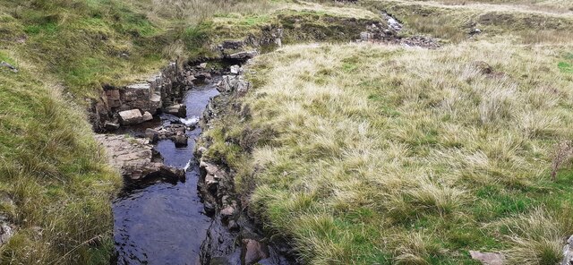
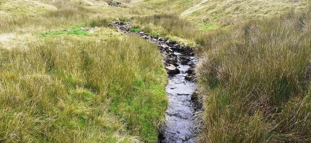
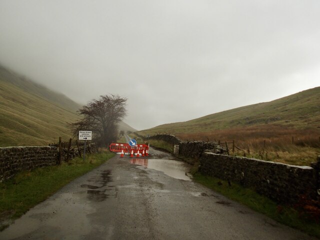
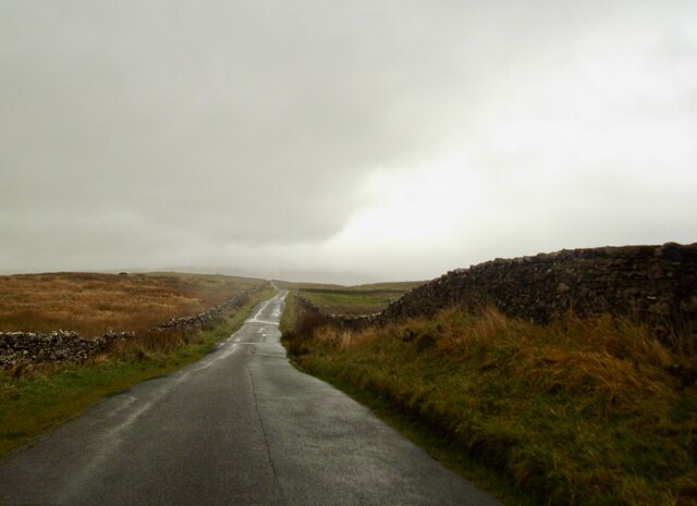
Anton Moss Images
Images are sourced within 2km of 54.260063/-2.4820202 or Grid Reference SD6885. Thanks to Geograph Open Source API. All images are credited.
Anton Moss is located at Grid Ref: SD6885 (Lat: 54.260063, Lng: -2.4820202)
Division: West Riding
Administrative County: Cumbria
District: South Lakeland
Police Authority: Cumbria
What 3 Words
///geese.listings.risky. Near Sedbergh, Cumbria
Nearby Locations
Related Wikis
Crag Hill (Yorkshire Dales)
Crag Hill is on the western edge of the Yorkshire Dales in northern England, not to be confused with the higher Crag Hill elsewhere in the county of Cumbria...
Great Coum
Great Coum is a hill in the Yorkshire Dales, but is located in the South Lakeland district of Cumbria. The highest point is in Dent parish, but the boundary...

Calf Top
Calf Top is a mountain in the western part of the Yorkshire Dales, England. It is located in the county of Cumbria, although Lancashire and North Yorkshire...
Gawthrop
Gawthrop is a hamlet in the South Lakeland district, in the county of Cumbria, England. Historically part of the West Riding of Yorkshire, it lies within...
Dent, Cumbria
Dent is a village and civil parish in Cumbria, England, within the historic boundaries of the West Riding of Yorkshire. It lies in Dentdale, a narrow valley...

St Andrew's Church, Dent
St Andrew's Church is in the village of Dent, Cumbria, England. It is an active Anglican parish church in the Western Dales Mission Community in the deanery...
Dentdale
Dentdale is a dale or valley in the north-west of the Yorkshire Dales National Park in Cumbria, England. It is the valley of the River Dee, but takes...
Deepdale, Cumbria
Deepdale is a side valley of Dentdale in the Yorkshire Dales National Park in Cumbria, England. It lies north west of the summit of Whernside. The dale...
Nearby Amenities
Located within 500m of 54.260063,-2.4820202Have you been to Anton Moss?
Leave your review of Anton Moss below (or comments, questions and feedback).