Came Down
Downs, Moorland in Dorset
England
Came Down

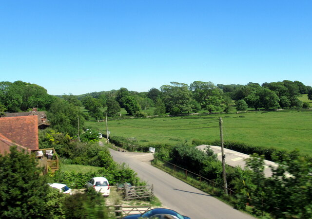
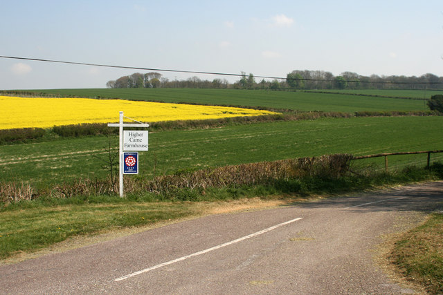
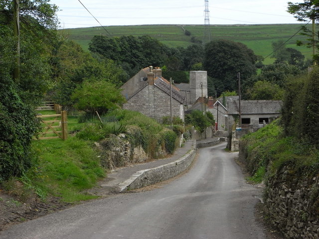
Came Down is a picturesque area located in Dorset, England. Known for its stunning natural beauty, it is situated on the Dorset Downs, a range of chalk hills that extend across the county. The area is characterized by rolling hills, expansive grasslands, and breathtaking views of the surrounding countryside.
Came Down is particularly renowned for its moorland, which covers a significant portion of the landscape. Moorland is a type of upland habitat that is characterized by wet, acidic soils and is home to a variety of unique plant and animal species. The moorland in Came Down boasts a diverse range of flora and fauna, including heather, gorse, and numerous bird species like skylarks and stonechats.
In addition to its natural beauty, Came Down is steeped in history. The area is dotted with ancient archaeological sites, including burial mounds and hill forts, which provide a fascinating glimpse into the region's past. These sites serve as a testament to the area's long-standing human presence.
Came Down offers a range of recreational activities for visitors to enjoy. The rolling hills and expansive grasslands make it an ideal location for hiking, cycling, and picnicking. The area also attracts nature enthusiasts and birdwatchers, who come to explore its diverse wildlife and take in the stunning vistas.
Overall, Came Down in Dorset is a captivating destination that offers a harmonious blend of natural beauty, historical significance, and outdoor recreation. Whether you are seeking tranquility in nature or an opportunity to immerse yourself in history, Came Down is sure to leave a lasting impression.
If you have any feedback on the listing, please let us know in the comments section below.
Came Down Images
Images are sourced within 2km of 50.676197/-2.44445 or Grid Reference SY6886. Thanks to Geograph Open Source API. All images are credited.


Came Down is located at Grid Ref: SY6886 (Lat: 50.676197, Lng: -2.44445)
Unitary Authority: Dorset
Police Authority: Dorset
What 3 Words
///diamonds.archives.opts. Near Dorchester, Dorset
Nearby Locations
Related Wikis

Ridgeway Hill Viking burial pit
The Ridgeway Hill Viking burial pit at Ridgeway Hill near Weymouth, Dorset, was a mass grave of 54 skeletons, including 51 skulls, of Scandinavian men...
Culliford Tree Hundred
Culliford Tree Hundred was a hundred in the county of Dorset, England, containing the following parishes: Broadwey Buckland Ripers Chickerell (part) Melcombe...
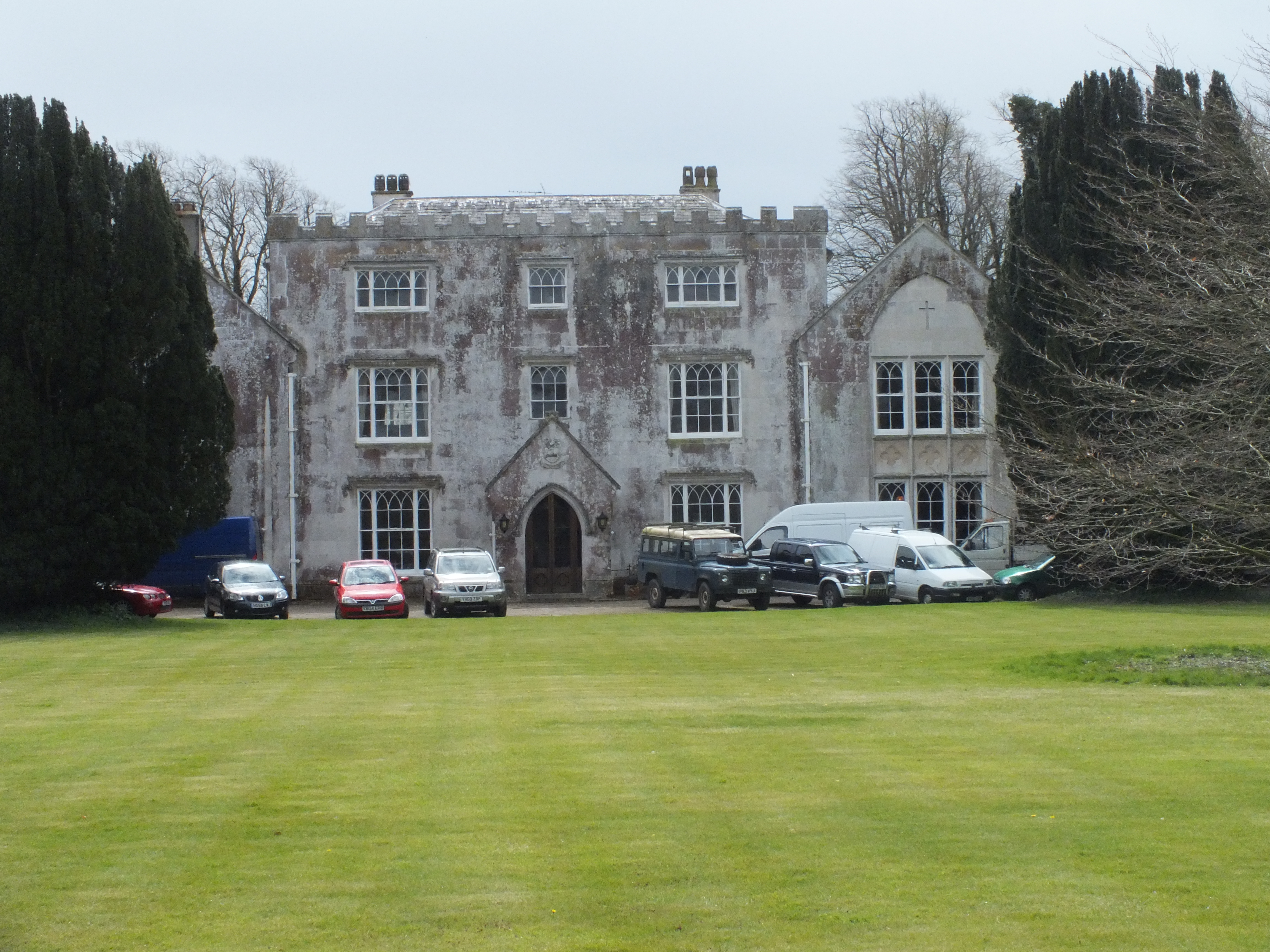
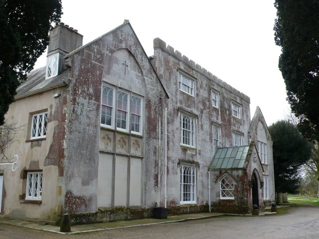
Herringston House
Herringston House is a Grade II* listed Tudor manor house in Winterborne Herringston in Dorset, England. == Architecture and history == There are remains...
Winterborne Herringston
Winterborne Herringston, also Winterbourne Herringston, is a small civil parish and hamlet containing about 600 acres in Dorset, England, 1.4 miles south...
Bincombe
Bincombe is a small village, or hamlet, and civil parish in Dorset, England, 5 miles (8.0 km) north of Weymouth. The village is 1 mile (1.6 km) from Upwey...
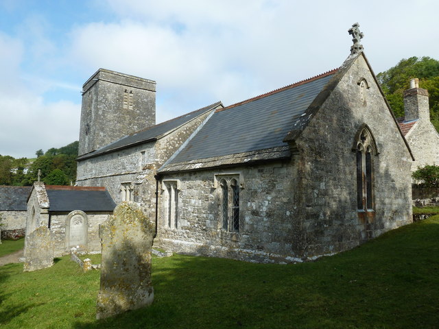
Holy Trinity Church, Bincombe
Holy Trinity Church is a Church of England parish church in Bincombe, Dorset, England. The church has late 12th-century origins, with later additions and...

Winterborne Monkton
Winterborne Monkton is a small village and civil parish in the county of Dorset in southern England. It lies close to the A354 road between the county...

Upwey Wishing Well Halt railway station
Upwey Wishing Well Halt was a railway station at Bincombe in the county of Dorset in England. It served the northern part of the village of Upwey, now...
Nearby Amenities
Located within 500m of 50.676197,-2.44445Have you been to Came Down?
Leave your review of Came Down below (or comments, questions and feedback).