Forest of Bowland
Downs, Moorland in Yorkshire Ribble Valley
England
Forest of Bowland
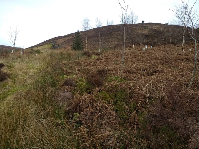
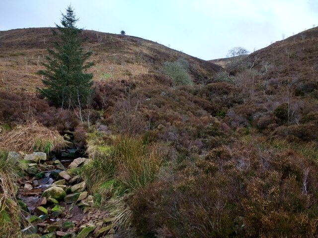
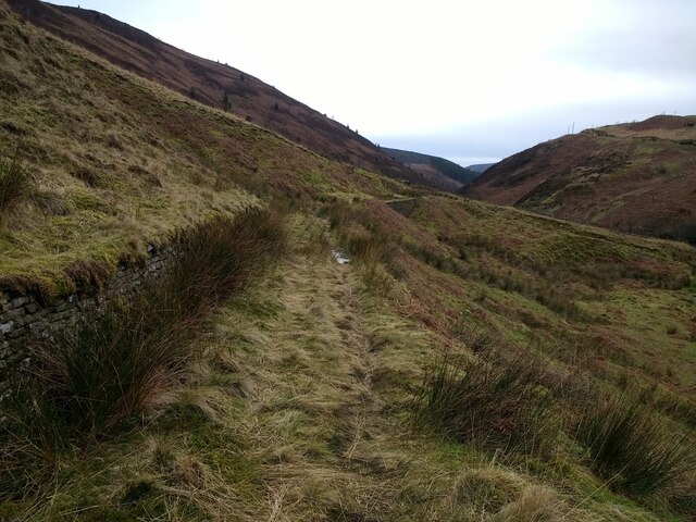
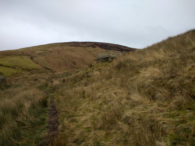
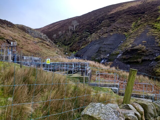
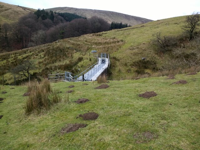
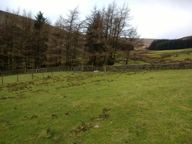
The Forest of Bowland is an Area of Outstanding Natural Beauty (AONB) located in the county of Lancashire, in the North West of England. Despite its name, it is not actually a forest, but rather a vast expanse of diverse landscapes, including hills, moorland, and valleys. The area covers approximately 312 square miles (803 square kilometers) and is bordered by the Yorkshire Dales National Park to the east.
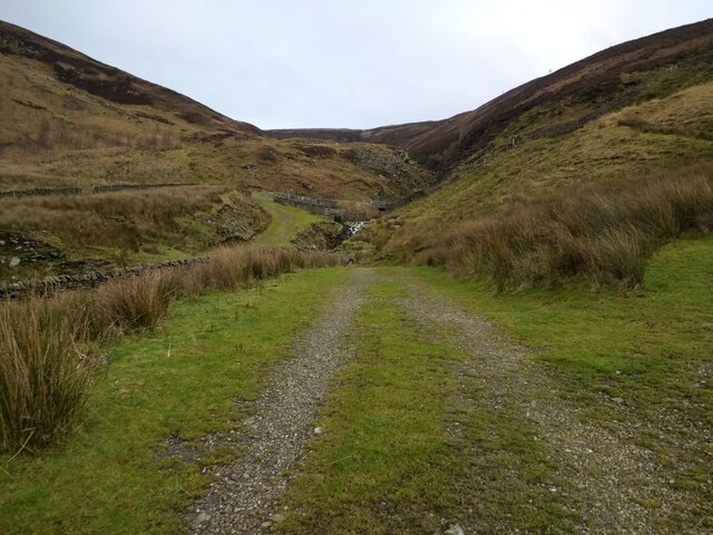
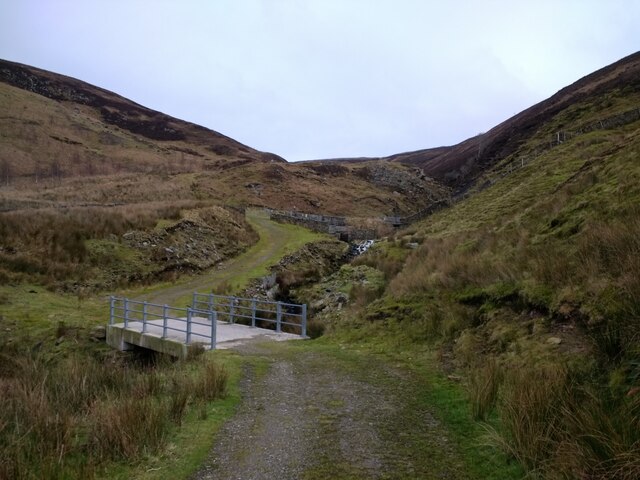
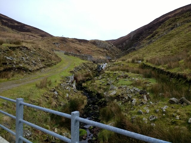
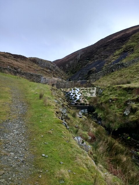
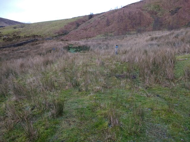
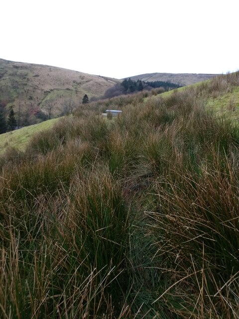
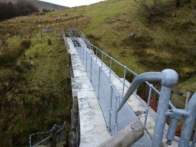
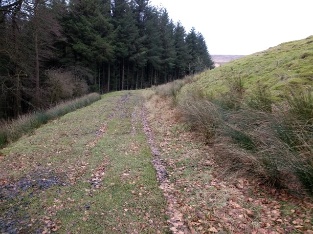
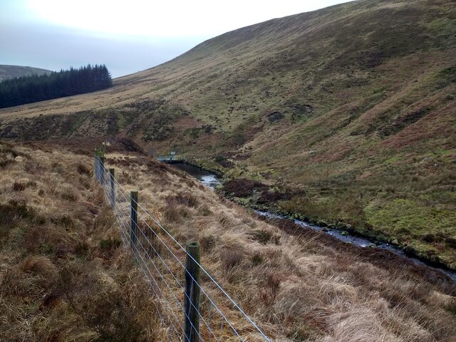
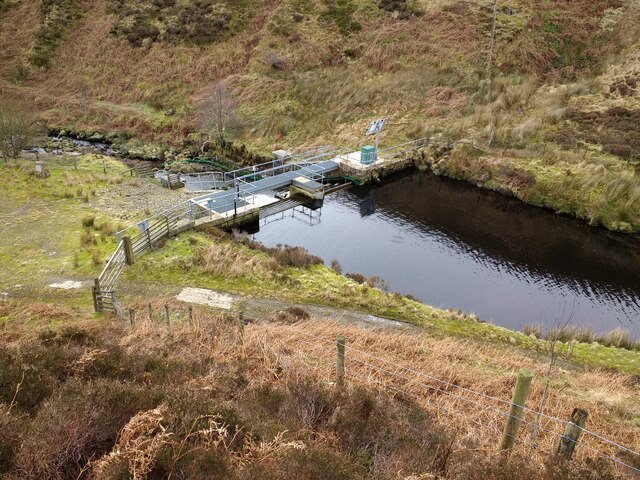
The Forest of Bowland is renowned for its stunning scenery and is a haven for outdoor enthusiasts. The rolling hills and moorland provide ample opportunities for hiking, cycling, and birdwatching. The area is home to a rich variety of wildlife, including iconic species such as red deer, hen harriers, and peregrine falcons.
The region boasts numerous picturesque villages and market towns, each with its own unique charm. Visitors can explore historic sites, such as Clitheroe Castle, which offers panoramic views of the surrounding countryside. The area is also dotted with cozy country pubs and tea rooms, where visitors can enjoy traditional local cuisine.
In addition to its natural beauty, the Forest of Bowland is steeped in history and culture. It has a rich heritage of farming and rural traditions, which are celebrated through various events and festivals throughout the year. The area also has a strong connection to the arts, with several galleries and craft workshops showcasing the work of local artists and artisans.
Overall, the Forest of Bowland offers a tranquil escape from the hustle and bustle of city life, with its breathtaking landscapes and rich cultural heritage. It is a hidden gem in the heart of Yorkshire, attracting visitors from far and wide.
If you have any feedback on the listing, please let us know in the comments section below.
Forest of Bowland Images
Images are sourced within 2km of 53.989031/-2.5234781 or Grid Reference SD6554. Thanks to Geograph Open Source API. All images are credited.
Forest of Bowland is located at Grid Ref: SD6554 (Lat: 53.989031, Lng: -2.5234781)
Division: West Riding
Administrative County: Lancashire
District: Ribble Valley
Police Authority: Lancashire
What 3 Words
///crunches.thrones.systems. Near Waddington, Lancashire
Nearby Locations
Related Wikis

Geography of the United Kingdom
The United Kingdom is a sovereign state located off the north-western coast of continental Europe. With a total area of approximately 248,532 square kilometres...

Brennand Farm
Brennand Farm is often claimed to be the true centre of Great Britain. This is about seven kilometres north-west of Dunsop Bridge - which has the nearest...

Trough of Bowland
The Trough of Bowland is a valley and high pass in the Forest of Bowland Area of Outstanding Natural Beauty, Lancashire, England. The pass, reaching 968...

Grey Stone of Trough
The Grey Stone of Trough is an historic boundary marker in Bowland Forest High, in the Trough of Bowland, Lancashire, England. A Grade II listed structure...

White Hill (Forest of Bowland)
White Hill is a hill in the Forest of Bowland, north-western England. It lies between Slaidburn and High Bentham. The summit houses a tower and a trig...

Wolfhole Crag
Wolfhole Crag is a lonely and seldom-visited hill in the Forest of Bowland in Lancashire, England. Its seclusion is due in part to its low profile and...

Sykes Smelt Mill
Sykes Smelt Mill was a mediaeval mill located between Sykes and Hareden in Bowland Forest High, Lancashire, England. It stood on the banks of Langden Brook...

Bowland Forest High
Bowland Forest High is a civil parish in the Ribble Valley district of Lancashire, England, covering some 20,000 acres (80 km2) of the Forest of Bowland...
Nearby Amenities
Located within 500m of 53.989031,-2.5234781Have you been to Forest of Bowland?
Leave your review of Forest of Bowland below (or comments, questions and feedback).