Middle Knoll
Hill, Mountain in Yorkshire Ribble Valley
England
Middle Knoll
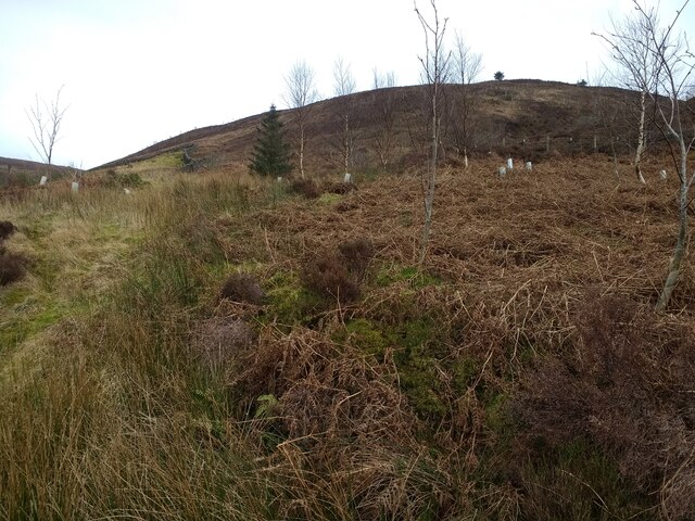
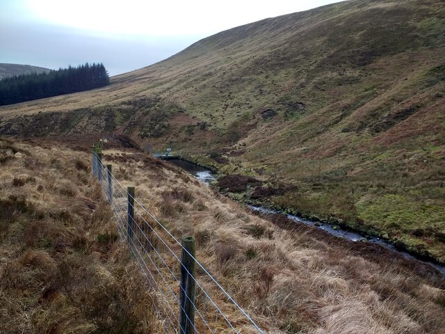
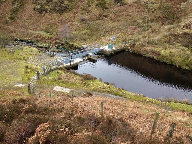
Middle Knoll is a prominent hill located in the Yorkshire Dales, a picturesque region in northern England. Situated in the county of Yorkshire, this hill offers breathtaking views and is a popular destination for hikers and nature enthusiasts.
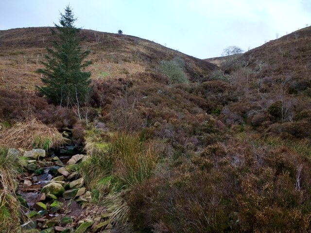
Rising to an impressive height of 1,870 feet (570 meters) above sea level, Middle Knoll is part of a range of hills known as the Pennines. The hill is composed of sedimentary rocks, predominantly limestone, which contributes to its unique landscape.
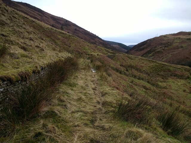
The summit of Middle Knoll provides panoramic vistas of the surrounding countryside, with rolling green hills, deep valleys, and meandering rivers. On a clear day, one can even catch a glimpse of the neighboring national parks, such as the Yorkshire Dales National Park and the Peak District National Park.
The hill is home to a rich variety of flora and fauna, with heather, grasses, and wildflowers adorning its slopes. It is also inhabited by various bird species, including peregrine falcons, kestrels, and curlews.
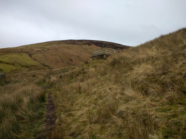
For outdoor enthusiasts, Middle Knoll offers several walking routes of varying difficulty. The ascent to the summit can be challenging, but the reward is well worth the effort. The hill attracts both experienced hikers and families looking for a leisurely stroll, with its well-maintained paths and clear signage.
Middle Knoll is a haven for those seeking tranquility and a connection with nature. Its natural beauty, coupled with its accessibility, makes it a beloved destination for locals and tourists alike, who flock to Yorkshire to experience the splendor of this remarkable hill.
If you have any feedback on the listing, please let us know in the comments section below.
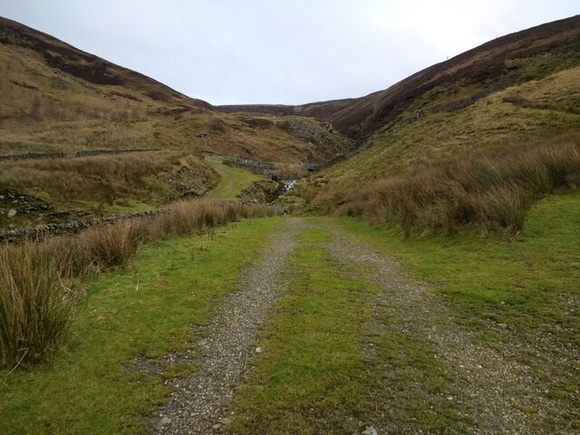
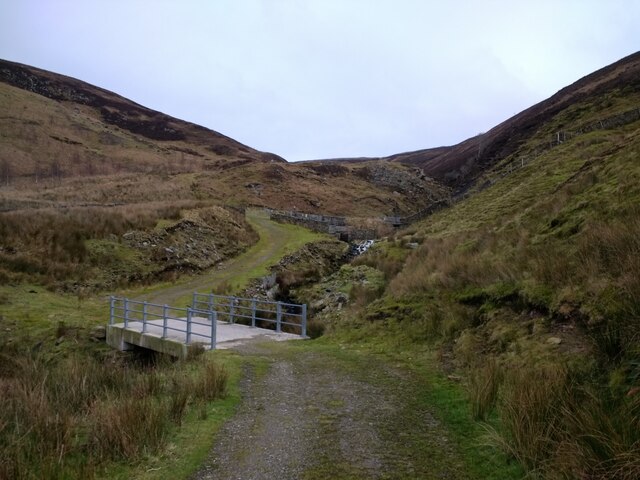
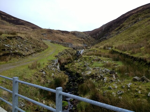
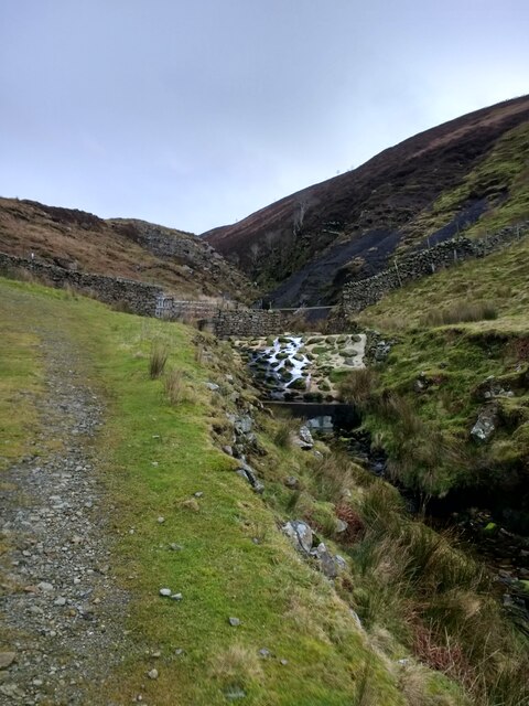
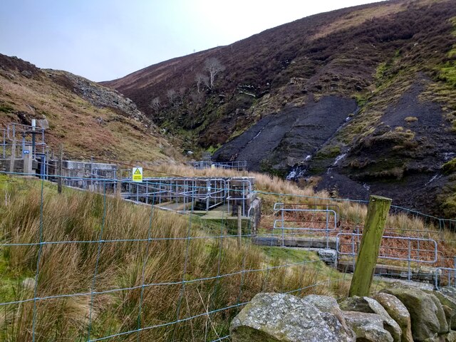
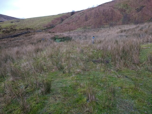
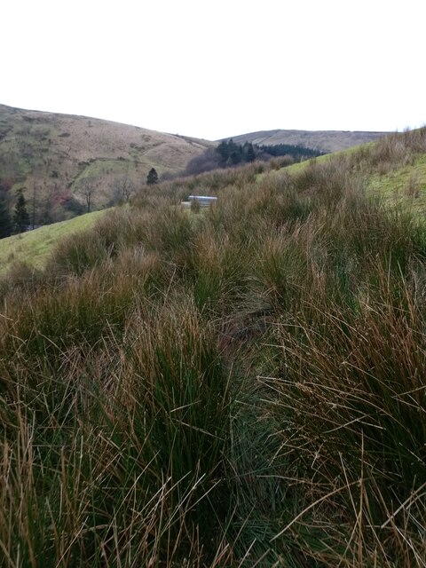
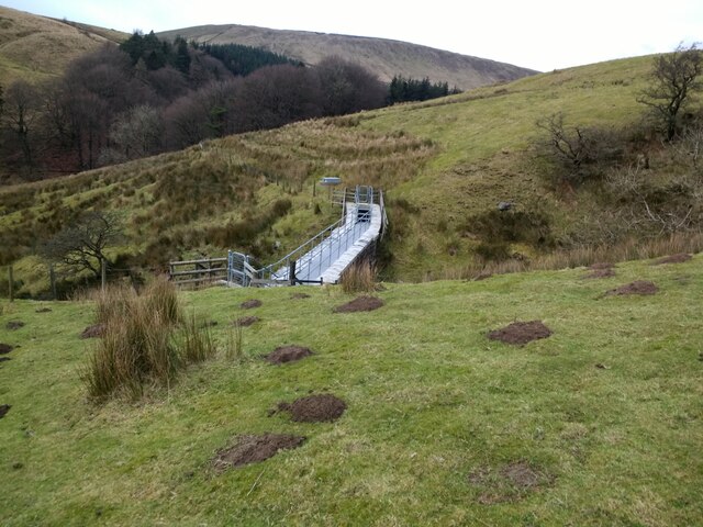
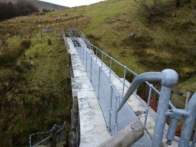
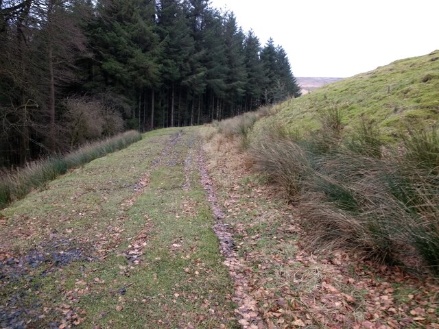
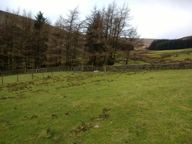
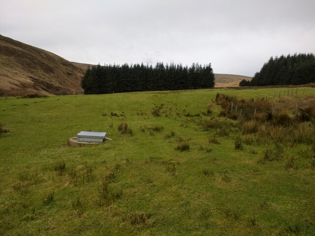
Middle Knoll Images
Images are sourced within 2km of 53.98373/-2.5290844 or Grid Reference SD6554. Thanks to Geograph Open Source API. All images are credited.
Middle Knoll is located at Grid Ref: SD6554 (Lat: 53.98373, Lng: -2.5290844)
Division: West Riding
Administrative County: Lancashire
District: Ribble Valley
Police Authority: Lancashire
What 3 Words
///typical.caused.saloons. Near Waddington, Lancashire
Nearby Locations
Related Wikis

Brennand Farm
Brennand Farm is often claimed to be the true centre of Great Britain. This is about seven kilometres north-west of Dunsop Bridge - which has the nearest...

Geography of the United Kingdom
The United Kingdom is a sovereign state located off the north-western coast of continental Europe. With a total area of approximately 248,532 square kilometres...

Trough of Bowland
The Trough of Bowland is a valley and high pass in the Forest of Bowland Area of Outstanding Natural Beauty, Lancashire, England. The pass, reaching 968...

Grey Stone of Trough
The Grey Stone of Trough is an historic boundary marker in Bowland Forest High, in the Trough of Bowland, Lancashire, England. A Grade II listed structure...
Nearby Amenities
Located within 500m of 53.98373,-2.5290844Have you been to Middle Knoll?
Leave your review of Middle Knoll below (or comments, questions and feedback).