Rabbit Warren
Downs, Moorland in Yorkshire Ribble Valley
England
Rabbit Warren
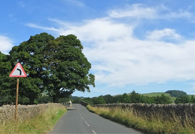
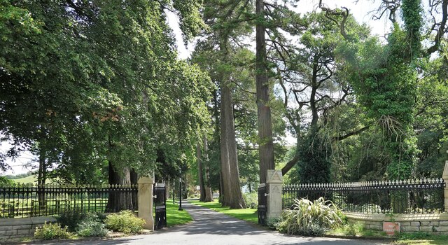
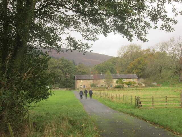
Rabbit Warren, located in Yorkshire, England, is a picturesque area encompassing the vast expanse of the Yorkshire Downs and Moorland. This region is renowned for its stunning natural beauty and diverse wildlife, making it a popular destination for nature enthusiasts and outdoor adventurers alike.
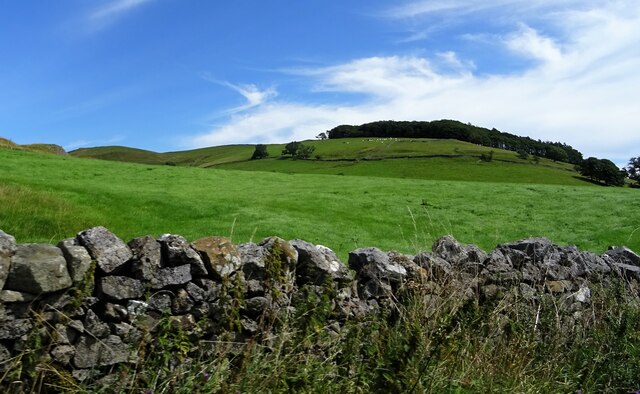
The Yorkshire Downs, characterized by rolling hills and expansive greenery, offer breathtaking panoramic views of the surrounding countryside. Visitors can immerse themselves in the tranquility of the area, enjoying leisurely walks or challenging hikes along the well-maintained trails that crisscross the landscape. The Downs are also home to a variety of flora and fauna, including heather, gorse, and an array of bird species, making it a paradise for birdwatchers.
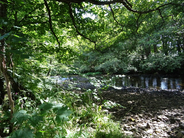
Adjacent to the Downs lies the Moorland, a distinct ecosystem known for its open, rugged terrain and vast stretches of heather-covered hills. This unique landscape provides a habitat for a multitude of wildlife, including rabbits, which are abundant in the area and give the region its name. Rabbit Warren offers visitors the opportunity to observe these furry creatures in their natural habitat, adding to the charm and allure of the area.
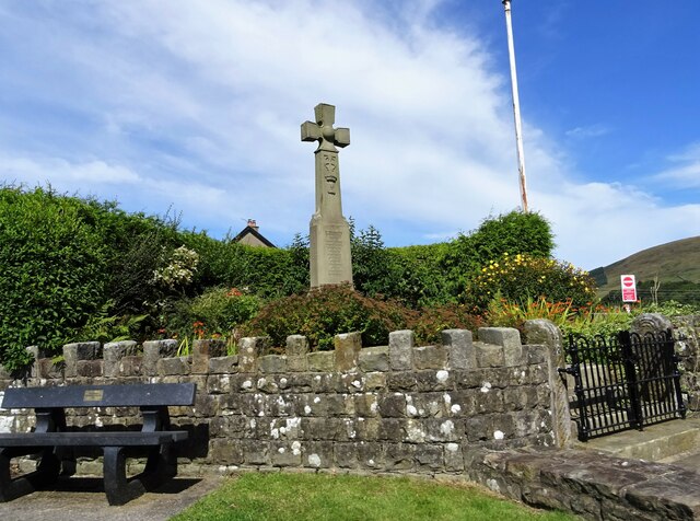
In addition to its natural wonders, Rabbit Warren boasts a rich history, with evidence of human habitation dating back centuries. Ruins of ancient settlements and burial sites can still be found in the area, providing insight into the region's past.
Overall, Rabbit Warren, Yorkshire (Downs, Moorland) is a haven for nature lovers, offering a stunning combination of breathtaking landscapes, diverse wildlife, and a glimpse into the region's fascinating history.
If you have any feedback on the listing, please let us know in the comments section below.
Rabbit Warren Images
Images are sourced within 2km of 53.945004/-2.5326161 or Grid Reference SD6550. Thanks to Geograph Open Source API. All images are credited.
Rabbit Warren is located at Grid Ref: SD6550 (Lat: 53.945004, Lng: -2.5326161)
Division: West Riding
Administrative County: Lancashire
District: Ribble Valley
Police Authority: Lancashire
What 3 Words
///prepares.camper.dictation. Near Waddington, Lancashire
Nearby Locations
Related Wikis

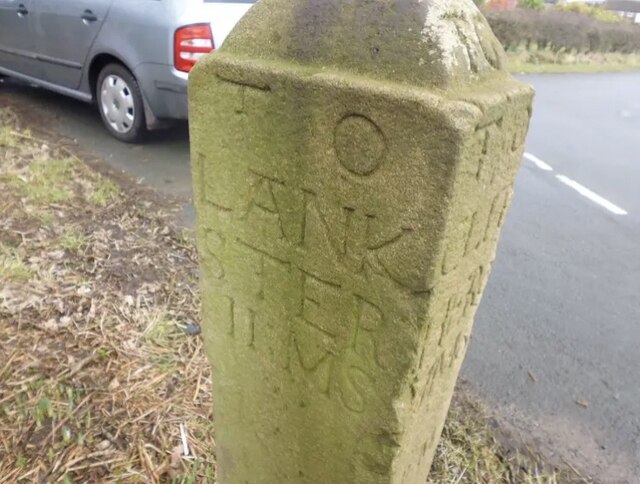
Bowland Forest High milestone
The Bowland Forest High milestone is an historic milestone marker in the English parish of Bowland Forest High, in the Trough of Bowland, Lancashire. A...

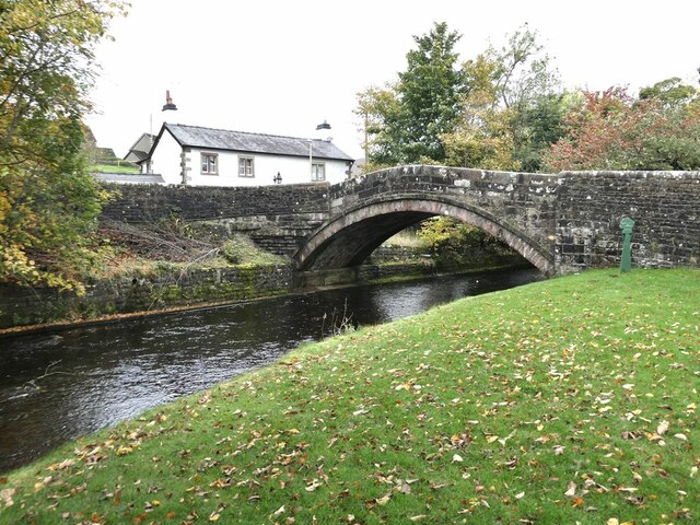
Dunsop Bridge (structure)
Dunsop Bridge is a bridge in the English village of the same name. The structure, which dates to the early 19th century, crosses the River Dunsop. A Grade...

Bowland Forest High
Bowland Forest High is a civil parish in the Ribble Valley district of Lancashire, England, covering some 20,000 acres (80 km2) of the Forest of Bowland...

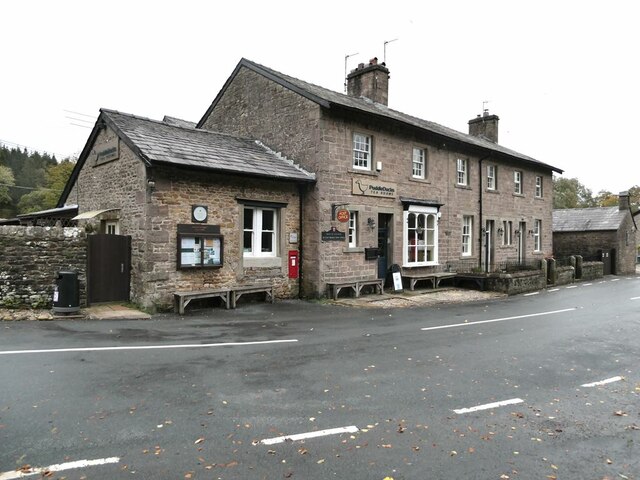
Dunsop Bridge
Dunsop Bridge is a village in the civil parish of Bowland Forest High, in the borough of Ribble Valley, Lancashire, England, 9 miles (14 km) north-west...
Nearby Amenities
Located within 500m of 53.945004,-2.5326161Have you been to Rabbit Warren?
Leave your review of Rabbit Warren below (or comments, questions and feedback).