Dunsop Bridge
Settlement in Yorkshire Ribble Valley
England
Dunsop Bridge
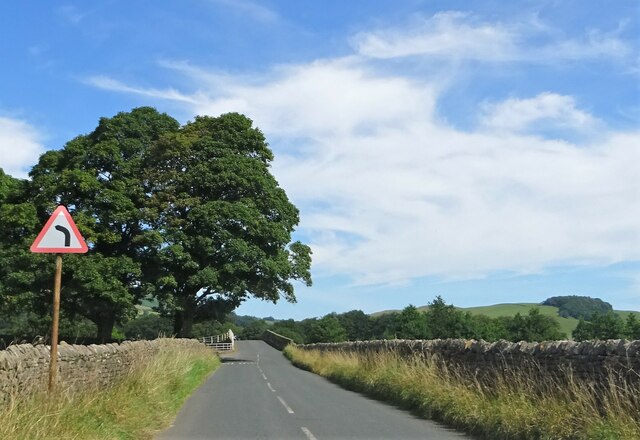
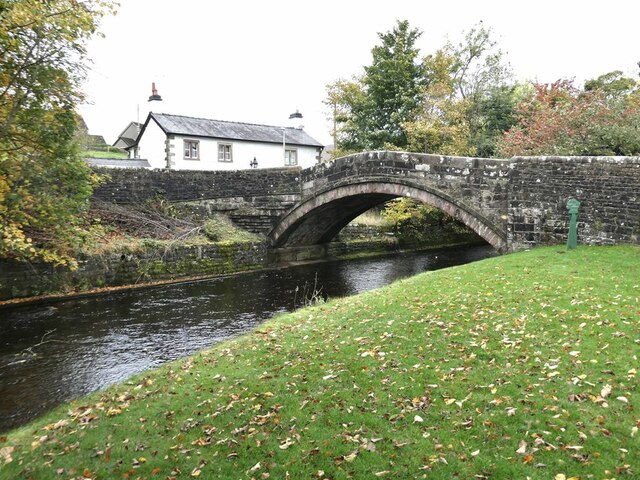
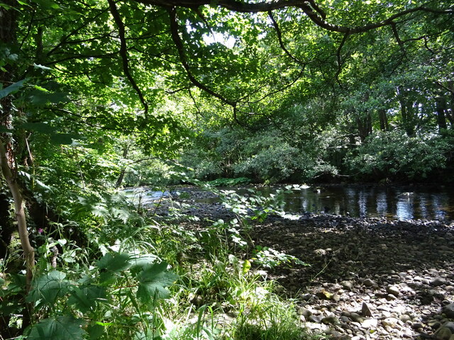
Dunsop Bridge is a picturesque village located in the Forest of Bowland, Lancashire, England, often mistakenly associated with Yorkshire due to its proximity to the Yorkshire Dales National Park. Nestled within the Ribble Valley, this small community is situated along the River Dunsop, known for its clear waters and tranquil ambiance.
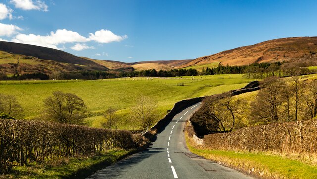
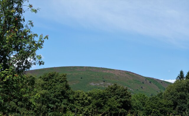
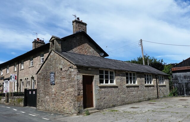
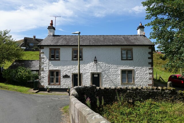
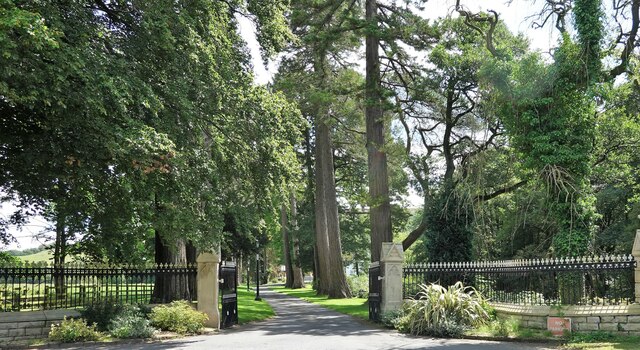
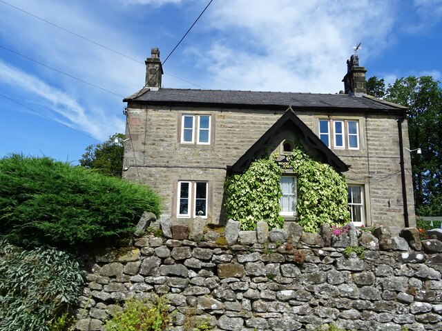
The village is renowned for its stunning natural beauty, with rolling hills, lush green fields, and charming stone houses dotting the landscape. It serves as a gateway to the Trough of Bowland, a designated Area of Outstanding Natural Beauty, attracting outdoor enthusiasts and nature lovers from far and wide.
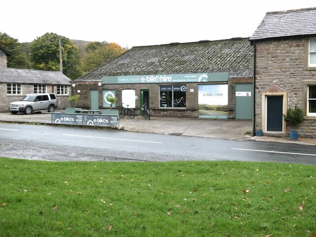
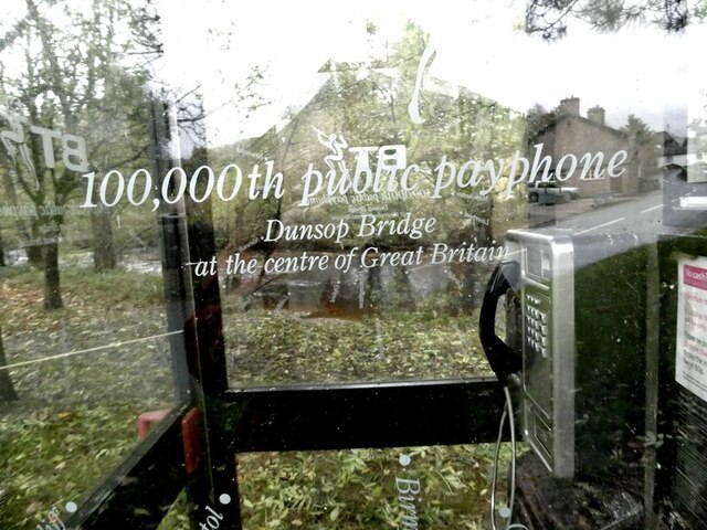
Dunsop Bridge is famous for being the geographic center of the United Kingdom, marked by a plaque in the village square. This unique distinction draws curious visitors who seek to stand at this pivotal point in the country. Additionally, the area offers various recreational activities such as hiking, cycling, and fishing, making it a popular destination for those seeking an escape in the great outdoors.
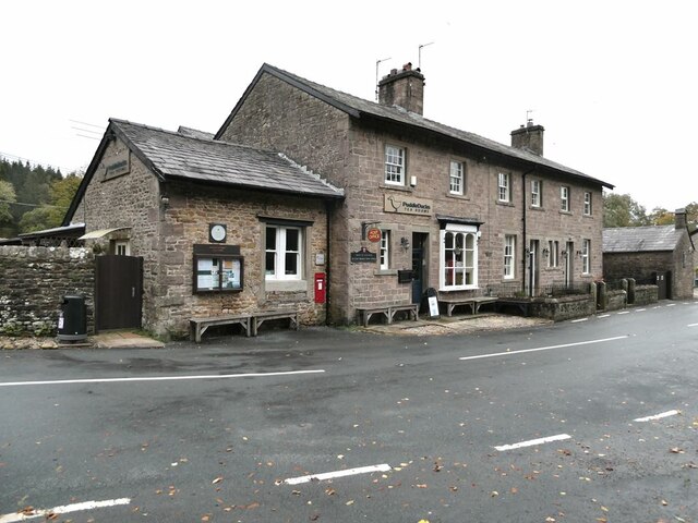
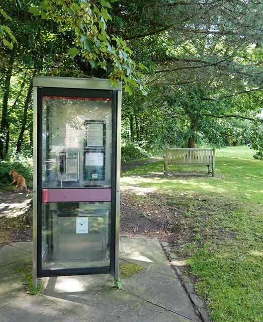
The village features a small but vibrant community, with a village hall, a post office, and a tearoom serving delicious local treats. The surrounding area offers a range of accommodation options, including quaint bed and breakfasts, allowing visitors to fully immerse themselves in the peaceful ambiance of the countryside.
Overall, Dunsop Bridge, with its idyllic setting and central location, offers a quintessential English village experience, making it a must-visit destination for those seeking a retreat in nature or a taste of rural life in Lancashire.
If you have any feedback on the listing, please let us know in the comments section below.
Dunsop Bridge Images
Images are sourced within 2km of 53.950772/-2.531759 or Grid Reference SD6550. Thanks to Geograph Open Source API. All images are credited.
Dunsop Bridge is located at Grid Ref: SD6550 (Lat: 53.950772, Lng: -2.531759)
Division: West Riding
Administrative County: Lancashire
District: Ribble Valley
Police Authority: Lancashire
What 3 Words
///jogging.greyhound.level. Near Waddington, Lancashire
Nearby Locations
Related Wikis

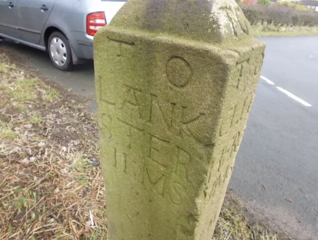
Bowland Forest High milestone
The Bowland Forest High milestone is an historic milestone marker in the English parish of Bowland Forest High, in the Trough of Bowland, Lancashire. A...

Bowland Forest High
Bowland Forest High is a civil parish in the Ribble Valley district of Lancashire, England, covering some 20,000 acres (80 km2) of the Forest of Bowland...

Dunsop Bridge
Dunsop Bridge is a village in the civil parish of Bowland Forest High, in the borough of Ribble Valley, Lancashire, England, 9 miles (14 km) north-west...

Dunsop Bridge (structure)
Dunsop Bridge is a bridge in the English village of the same name. The structure, which dates to the early 19th century, crosses the River Dunsop. A Grade...

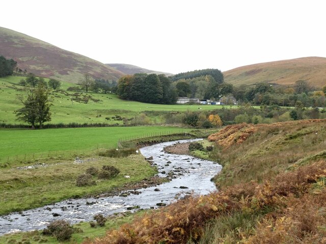
River Dunsop
The River Dunsop is a river in the Forest of Bowland in Northern England. It flows into the River Hodder at Dunsop Bridge.It begins at the confluence of...

Sykes Smelt Mill
Sykes Smelt Mill was a mediaeval mill located between Sykes and Hareden in Bowland Forest High, Lancashire, England. It stood on the banks of Langden Brook...

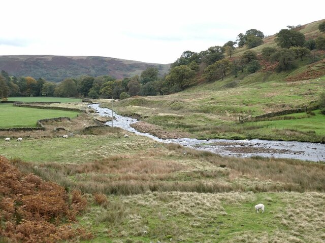
Langden Brook
Langden Brook is a watercourse in the Trough of Bowland, Lancashire, England. A tributary of the River Hodder, its source is near the summit of Hawthornthwaite...

Trough of Bowland
The Trough of Bowland is a valley and high pass in the Forest of Bowland Area of Outstanding Natural Beauty, Lancashire, England. The pass, reaching 968...
Related Videos

Hareden
A great walk up on to Hareden in the Bowland Fells. Perfect to work off the over indulgence of Christmas dinner the day before.

Black Clough Breast
First fell walk of 2021, I had intended on doing something longer but the roads were icy and I was still feeling lazy. That paired with ...

Holdron Moss
I intended on heading up on to Hawthornthwaite Fell but the weather and the joyous Bowland Bog had other ideas. No matter ...
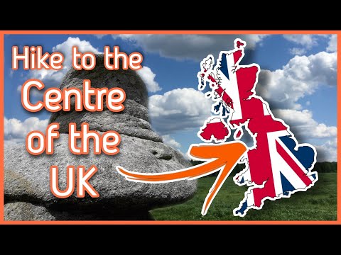
WHERE is the CENTRE of the UK ? Hike to the Hanging Stones!
Join me on the quest to visit the centre of Great Britain. It is not an easy hike from Dunsop Bridge in Lancashire, as the fells are ...
Nearby Amenities
Located within 500m of 53.950772,-2.531759Have you been to Dunsop Bridge?
Leave your review of Dunsop Bridge below (or comments, questions and feedback).