Black Plantation
Wood, Forest in Yorkshire Ribble Valley
England
Black Plantation
Black Plantation is a woodland area located in the county of Yorkshire, England. Situated near the village of Wood, it is known for its dense forest cover and natural beauty. The plantation spans an approximate area of several acres, making it a significant woodland in the region.
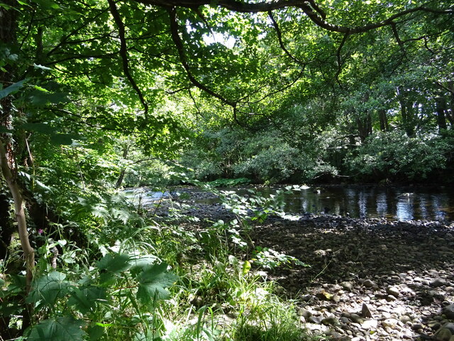
The woodland is composed of a variety of tree species, including oak, beech, birch, and pine, which contribute to its rich and diverse ecosystem. These trees provide a habitat for numerous wildlife species, such as birds, squirrels, and deer, making the plantation a popular spot for nature enthusiasts and photographers.
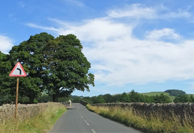
The landscape of Black Plantation consists of undulating terrain, with rolling hills and valleys, creating a picturesque setting. There are several well-maintained walking trails that wind through the woodland, providing visitors with the opportunity to explore and enjoy the natural surroundings. The trails also offer breathtaking views of the surrounding countryside and nearby Wood village.
Black Plantation is managed by the local authorities, who ensure its preservation and protection. The woodland serves as a recreational space for the local community, offering opportunities for outdoor activities such as hiking, birdwatching, and picnicking. It is also a valuable resource for educational purposes, with schools often organizing field trips to study the flora and fauna found within the plantation.
Overall, Black Plantation in Yorkshire is a cherished natural resource, treasured for its scenic beauty, diverse wildlife, and recreational opportunities. It provides a tranquil escape from the hustle and bustle of daily life, allowing visitors to connect with nature and appreciate the wonders of the woodland environment.
If you have any feedback on the listing, please let us know in the comments section below.
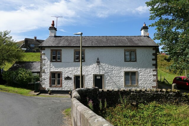
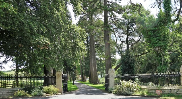
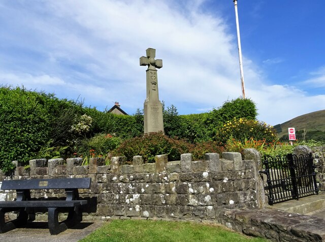
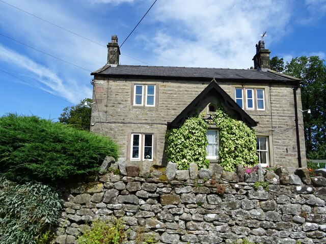
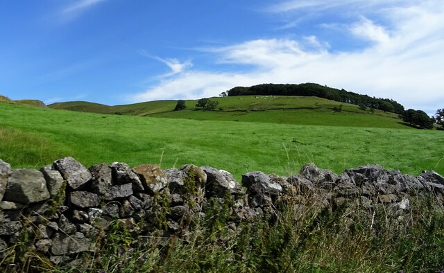
Black Plantation Images
Images are sourced within 2km of 53.947593/-2.526448 or Grid Reference SD6550. Thanks to Geograph Open Source API. All images are credited.
Black Plantation is located at Grid Ref: SD6550 (Lat: 53.947593, Lng: -2.526448)
Division: West Riding
Administrative County: Lancashire
District: Ribble Valley
Police Authority: Lancashire
What 3 Words
///bump.abacus.cushy. Near Waddington, Lancashire
Nearby Locations
Related Wikis

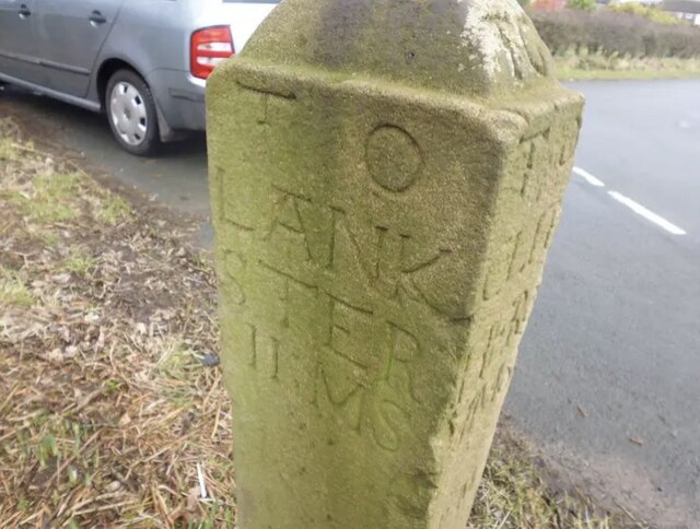
Bowland Forest High milestone
The Bowland Forest High milestone is an historic milestone marker in the English parish of Bowland Forest High, in the Trough of Bowland, Lancashire. A...

Bowland Forest High
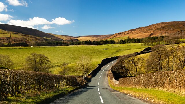
Bowland Forest High is a civil parish in the Ribble Valley district of Lancashire, England, covering some 20,000 acres (80 km2) of the Forest of Bowland...

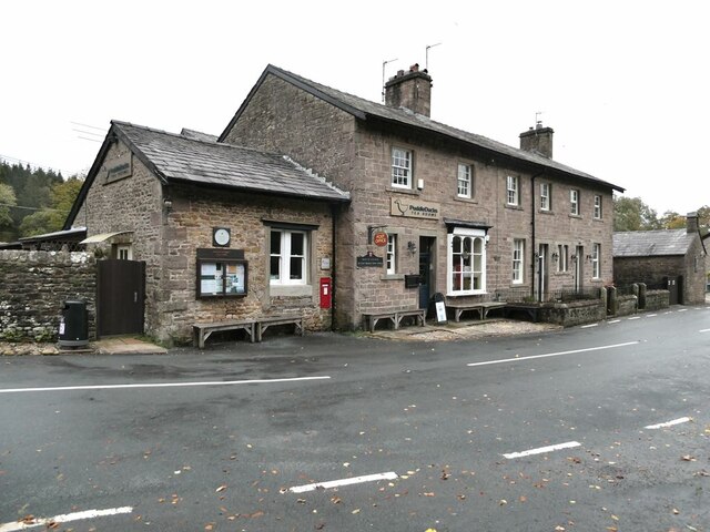
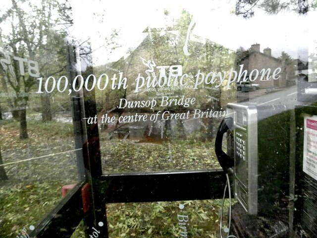
Dunsop Bridge
Dunsop Bridge is a village in the civil parish of Bowland Forest High, in the borough of Ribble Valley, Lancashire, England, 9 miles (14 km) north-west...

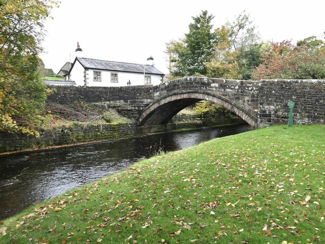
Dunsop Bridge (structure)
Dunsop Bridge is a bridge in the English village of the same name. The structure, which dates to the early 19th century, crosses the River Dunsop. A Grade...

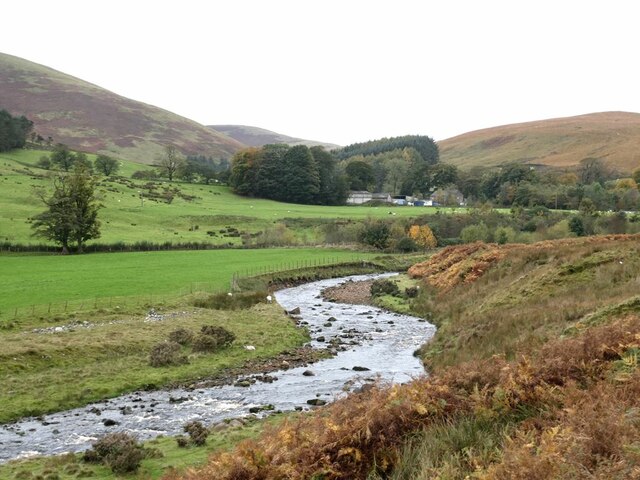
River Dunsop
The River Dunsop is a river in the Forest of Bowland in Northern England. It flows into the River Hodder at Dunsop Bridge.It begins at the confluence of...

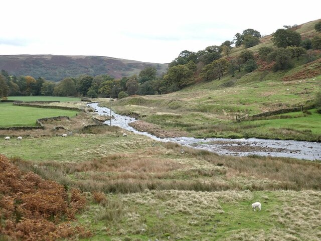
Langden Brook
Langden Brook is a watercourse in the Trough of Bowland, Lancashire, England. A tributary of the River Hodder, its source is near the summit of Hawthornthwaite...

Sykes Smelt Mill
Sykes Smelt Mill was a mediaeval mill located between Sykes and Hareden in Bowland Forest High, Lancashire, England. It stood on the banks of Langden Brook...

Whitewell Hotel
Whitewell Hotel is an historic building in the English parish of Bowland Forest Low, Lancashire. It is Grade II listed, built in 1836, and is in sandstone...
Related Videos

Hareden
A great walk up on to Hareden in the Bowland Fells. Perfect to work off the over indulgence of Christmas dinner the day before.

WHERE is the CENTRE of the UK ? Hike to the Hanging Stones!
Join me on the quest to visit the centre of Great Britain. It is not an easy hike from Dunsop Bridge in Lancashire, as the fells are ...

Going For A Walk With The Boy John
In this episode of Going For A Walk With, I go for a stroll in the Ribble Valley with ace up and coming YouTuber @JohnRochford.
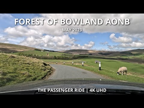
Scenic FOREST OF BOWLAND AONB Road Trip | 2023 | 4K
Scenic drive through the beautiful Forest of Bowland Area of Outstanding Natural Beauty. Recorded on Sunday, 7th of May 2023.
Nearby Amenities
Located within 500m of 53.947593,-2.526448Have you been to Black Plantation?
Leave your review of Black Plantation below (or comments, questions and feedback).