Bank Moor

Downs, Moorland in Westmorland Eden

England

Bank Moor

Boulder at path junction
Boulder at path junction Credit: Mick Garratt

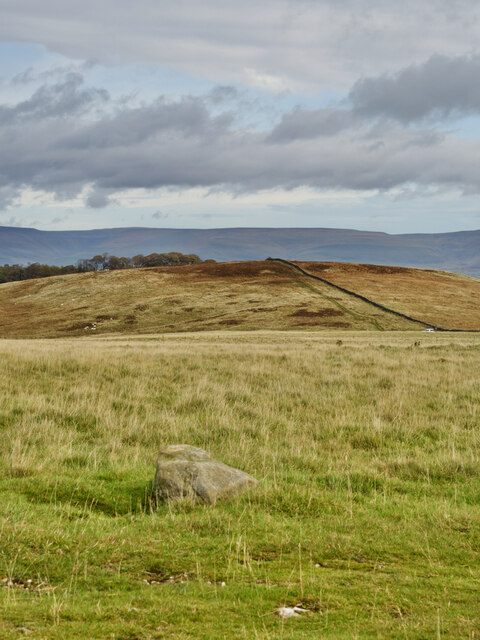
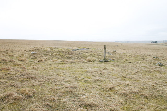
Bank Moor is a picturesque area located in Westmorland, a historic county in the northwest of England. Situated within the larger region known as the Downs, Bank Moor is renowned for its stunning moorland landscapes and natural beauty.

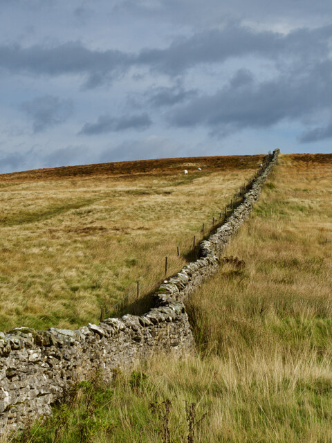
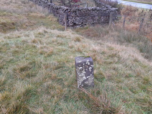
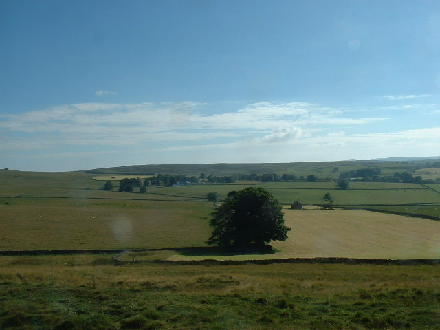
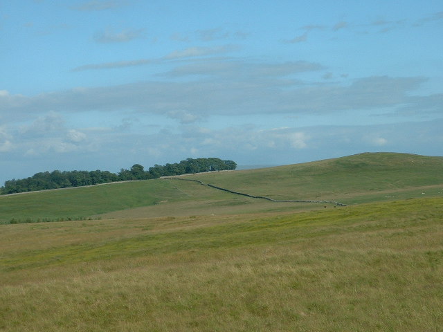
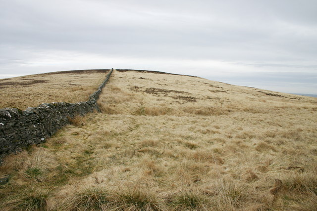
The area is characterized by rolling hills, open grasslands, and scattered patches of woodland. It encompasses a diverse range of habitats, including heathland and wetland areas, which support a rich variety of flora and fauna. Visitors to Bank Moor can expect to encounter an array of wildlife, such as red deer, curlews, and various species of butterflies.

Bank Moor offers numerous opportunities for outdoor activities and recreation. Its extensive network of footpaths and bridleways allows for scenic walks and horseback riding, offering breathtaking views across the moorland and surrounding countryside. The area is also popular among birdwatchers and nature enthusiasts, as it provides excellent opportunities for bird spotting and wildlife observation.

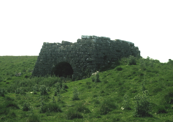
In addition to its natural attractions, Bank Moor is home to several historic landmarks and cultural sites. The ruins of Bank Moor Castle, a medieval fortress, are a notable point of interest and offer visitors a glimpse into the area's rich history. The nearby village of Westmorland Downs provides amenities and services for visitors, including accommodation options, quaint local shops, and traditional pubs serving hearty regional cuisine.

Overall, Bank Moor, Westmorland is a captivating destination that seamlessly combines natural beauty with historical charm, making it a must-visit location for those seeking a tranquil escape in the heart of the English countryside.

If you have any feedback on the listing, please let us know in the comments section below.
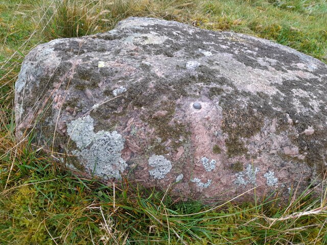
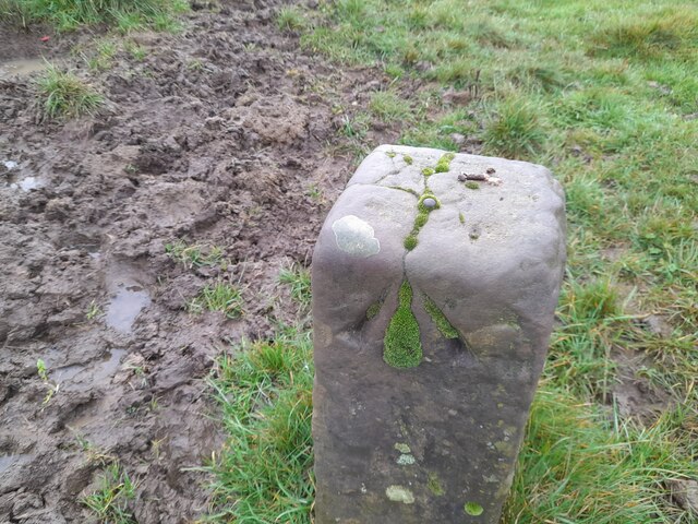
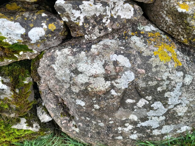
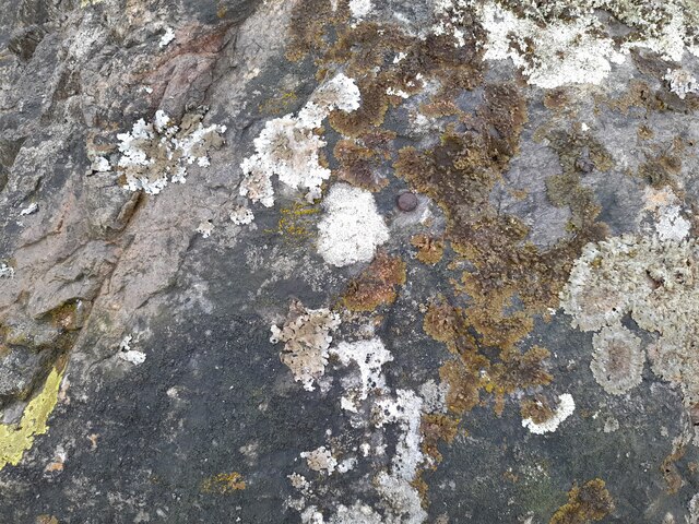
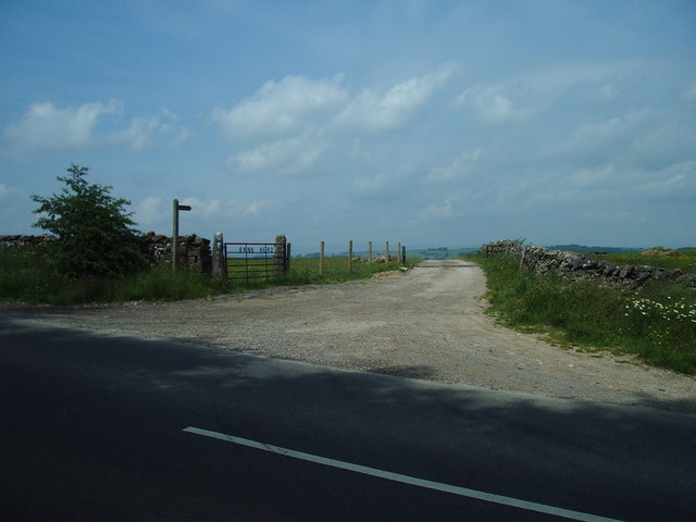
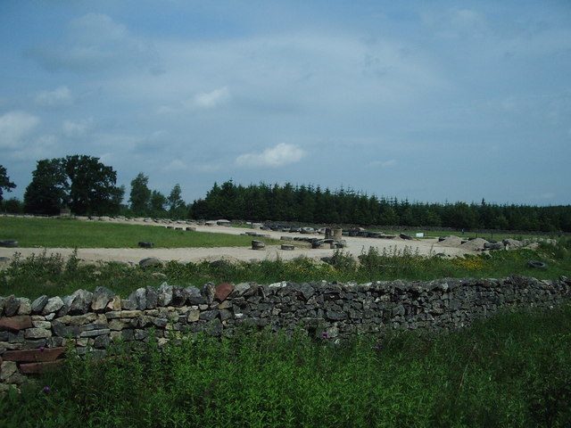
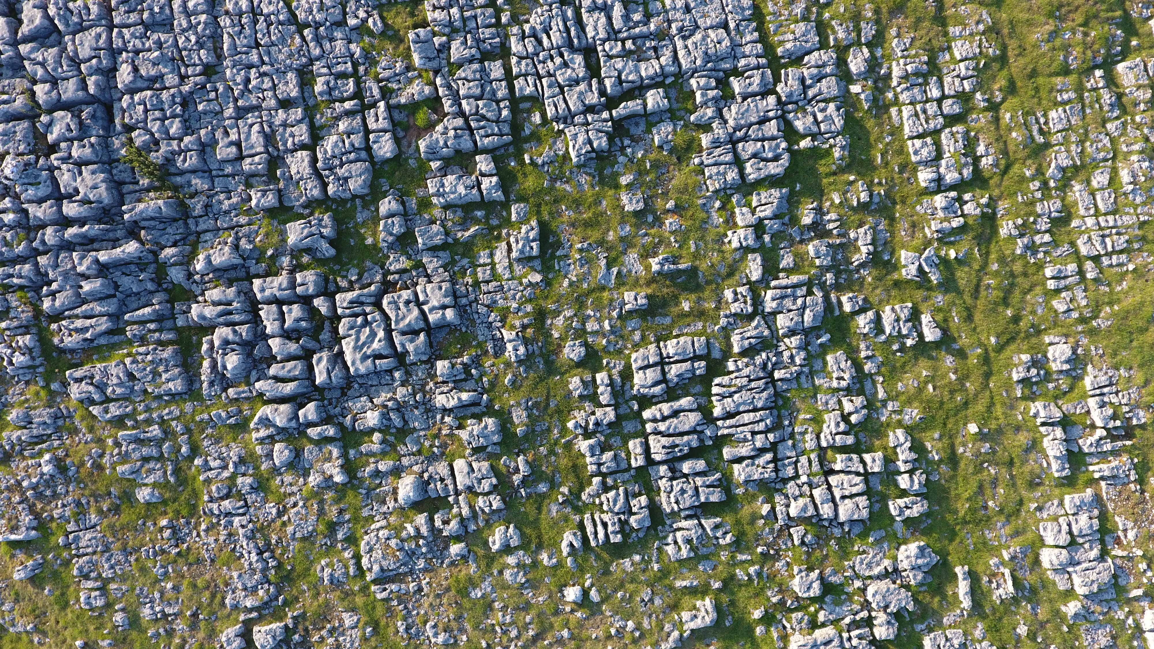
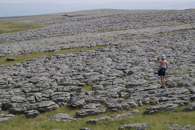
Bank Moor Images

Images are sourced within 2km of 54.513383/-2.5594496 or Grid Reference NY6313. Thanks to Geograph Open Source API. All images are credited.

Boulder at path junction
Linglow Hill
Linglow Hill
Ordnance Survey Cut Mark This OS cut mark can be found on the gatepost north side of the track. It marks a point 218.627m above mean sea level.
Ordnance Survey Cut Mark
This OS cut mark can be found on the gatepost north side of the track. It marks a point 218.627m above mean sea level.
Boundary Stone The Ordnance Survey pivot marks a point 290.454m above mean sea level.
Boundary Stone
The Ordnance Survey pivot marks a point 290.454m above mean sea level.
Ordnance Survey Rivet This OS rivet can be found on the boulder west side of the road. It marks a point 309.181m above mean sea level.
Ordnance Survey Rivet
This OS rivet can be found on the boulder west side of the road. It marks a point 309.181m above mean sea level.
Boundary Stone The Ordnance Survey rivet on the top of the stone marks a point 310.271m above mean sea level.
Boundary Stone
The Ordnance Survey rivet on the top of the stone marks a point 310.271m above mean sea level.
Ordnance Survey Rivet This OS rivet can be found on the wall NW side of the road. It marks a point 301.603m above mean sea level.
Ordnance Survey Rivet
This OS rivet can be found on the wall NW side of the road. It marks a point 301.603m above mean sea level.
Ordnance Survey Rivet This OS rivet can be found on the boulder NW side of the road. It marks a point 289.490m above mean sea level.
Ordnance Survey Rivet
This OS rivet can be found on the boulder NW side of the road. It marks a point 289.490m above mean sea level.
Old Boundary Marker beside the B6260 in Crosby Ravensworth Estate Boundary Marker in a pasture west of the B6260 and Maskriggs Wood. Inscribed B & R, and probably C R similar to WE_CRR03em, see <a title="https://www.geograph.org.uk/photo/6462527" href="https://www.geograph.org.uk/photo/6462527">Link</a>. See also <a title="https://www.geograph.org.uk/photo/7641917" href="https://www.geograph.org.uk/photo/7641917">Link</a>.

Although both these markers are now in Crosby Ravensworth parish, they were until 1935 on the boundary of that parish and Bank Moor, which was common to both Crosby Ravensworth and Asby parishes. C R almost certainly references Crosby Ravensworth but B & R has been taken to refer to the those who held rights on the moor, of which the right of pasture is the most obvious. 

Milestone Society National ID: WE_CRR04em
Old Boundary Marker beside the B6260 in Crosby Ravensworth
Estate Boundary Marker in a pasture west of the B6260 and Maskriggs Wood. Inscribed B & R, and probably C R similar to WE_CRR03em, see Link. See also Link. Although both these markers are now in Crosby Ravensworth parish, they were until 1935 on the boundary of that parish and Bank Moor, which was common to both Crosby Ravensworth and Asby parishes. C R almost certainly references Crosby Ravensworth but B & R has been taken to refer to the those who held rights on the moor, of which the right of pasture is the most obvious. Milestone Society National ID: WE_CRR04em
Bank Moor, near Orton Looking southwest
Bank Moor, near Orton
Looking southwest
Bank Moor, near Orton Looking east towards Marksclose Wood
Bank Moor, near Orton
Looking east towards Marksclose Wood
Linglow Hill The drystone wall runs dead straight for approximately 2km. Linglow is pronounced locally as "Lingluh"
Linglow Hill
The drystone wall runs dead straight for approximately 2km. Linglow is pronounced locally as "Lingluh"
Tumuli on Gaythorn Plain They're called "Cairns" on the most recent OS map. This upland plain IS very plain, and extremely difficult to navigate in poor visibility.
Tumuli on Gaythorn Plain
They're called "Cairns" on the most recent OS map. This upland plain IS very plain, and extremely difficult to navigate in poor visibility.
Lime Kiln near Blasterfield Farm Lime Kiln just off the Orton - Appleby Road near Blasterfield Farm.
Lime Kiln near Blasterfield Farm
Lime Kiln just off the Orton - Appleby Road near Blasterfield Farm.
The Road to Blasterfield Farm
Cattle Grid This is where the B6260 becomes a walled road again after crossing open moorland since Orton Scar
Cattle Grid
This is where the B6260 becomes a walled road again after crossing open moorland since Orton Scar
The entrance to Bank Head Farm
Race Track Is it a grave yard for tyres or the utilisation of tyres in using them to provide a safe perimeter fence?
Race Track
Is it a grave yard for tyres or the utilisation of tyres in using them to provide a safe perimeter fence?
Show me another place!

Bank Moor is located at Grid Ref: NY6313 (Lat: 54.513383, Lng: -2.5594496)

Administrative County: Cumbria

District: Eden

Police Authority: Cumbria

What 3 Words

///enormous.detergent.lasted. Near Shap, Cumbria

Nearby Locations

Bank Moor

Related Wikis

Westmorland

Westmorland (, formerly also spelt Westmoreland) is a historic county in North West England spanning the southern Lake District and the northern Dales...

Crosby Ravensworth

Crosby Ravensworth is a village and civil parish in the Eden district of Cumbria, England. The village is about 4 miles (6.4 km) east of the M6 motorway...

St Lawrence's Church, Crosby Ravensworth

St Lawrence's Church is in the village of Crosby Ravensworth, Cumbria, England. It is an active Anglican parish church in the deanery of Appleby, the...

Orton Fells

The Orton Fells is an upland area in Northern England, mostly consisting of limestone hills, plateaus and moorlands. Historically in Westmorland, the area...

Flass

Flass, also called Flass House, is a large Grade II* listed house near the village of Maulds Meaburn, Cumbria, England. It was built in the 19th century...

Maulds Meaburn

Maulds Meaburn (English: ) is a village in Cumbria, England. It is located in the Lyvennet Valley and Yorkshire Dales National Park and is 13 miles from...

Drybeck

Drybeck is a hamlet in the Eden district in the English county of Cumbria. It is near the town of Appleby-in-Westmorland. It is on Dry Beck and has a...

Great Asby Scar

Great Asby Scar is a Site of Special Scientific Interest (SSSI) and National Nature Reserve in Cumbria, UK. It is an area of limestone pavement, south...

Nearby Amenities

Located within 500m of 54.513383,-2.5594496
tumulus
Historic: archaeological_site
Is In Country Code: GB
Lat/Long: 54.5117179/-2.5612665
Barrier: cattle_grid
Source: survey
Lat/Long: 54.5165038/-2.5619871
Maskriggs Wood
Natural: wood
Lat/Long: 54.5146704/-2.5582574
The data included in this document is from www.openstreetmap.org. The data is made available under ODbL.

Have you been to Bank Moor?

Leave your review of Bank Moor below (or comments, questions and feedback).