Brown Syke Moss
Downs, Moorland in Yorkshire Ribble Valley
England
Brown Syke Moss
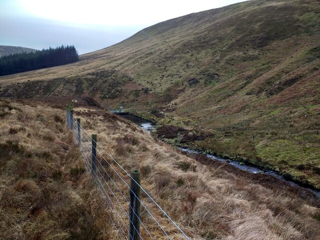
Brown Syke Moss is a picturesque moorland located in the Yorkshire Downs, Yorkshire, England. Stretching across an area of approximately 100 acres, it is a haven for nature enthusiasts and hikers alike.
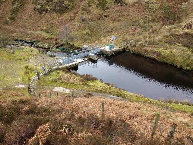
The moss is characterized by its unique landscape, consisting of undulating hills covered in heather, grasses, and patches of sphagnum moss. The area is interspersed with small streams and ponds, adding to its natural beauty. The terrain is relatively flat, making it accessible for visitors of all abilities.
The flora and fauna found in Brown Syke Moss are diverse and abundant. The heather, in particular, adds a vibrant splash of color to the landscape during the summer months. The moss is also home to a variety of bird species, including curlews, lapwings, and skylarks, making it a popular spot for birdwatching.
Walking trails crisscross the moss, allowing visitors to explore its scenic beauty and experience the tranquility it offers. The trails range in length and difficulty, catering to both casual strollers and more experienced hikers. Along the way, visitors may encounter the remnants of historical features, such as ancient settlements or boundary markers, adding an element of intrigue to their journey.
Brown Syke Moss offers a serene escape from the hustle and bustle of everyday life. Its untouched beauty and peaceful atmosphere make it an ideal destination for those seeking a connection with nature and a chance to explore the stunning Yorkshire countryside.
If you have any feedback on the listing, please let us know in the comments section below.
Brown Syke Moss Images
Images are sourced within 2km of 54.002291/-2.5527992 or Grid Reference SD6356. Thanks to Geograph Open Source API. All images are credited.


Brown Syke Moss is located at Grid Ref: SD6356 (Lat: 54.002291, Lng: -2.5527992)
Division: West Riding
Administrative County: Lancashire
District: Ribble Valley
Police Authority: Lancashire
What 3 Words
///usages.flow.cackling. Near High Bentham, North Yorkshire
Nearby Locations
Related Wikis

Brennand Farm
Brennand Farm is often claimed to be the true centre of Great Britain. This is about seven kilometres north-west of Dunsop Bridge - which has the nearest...

Wolfhole Crag
Wolfhole Crag is an isolated and seldom-visited hill in the Forest of Bowland in Lancashire, England. Its seclusion is due in part to its low profile and...

Geography of the United Kingdom
The United Kingdom is a sovereign state located off the north-western coast of continental Europe. With a total area of approximately 248,532 square kilometres...

Grey Stone of Trough
The Grey Stone of Trough is an historic boundary marker in Bowland Forest High, in the Trough of Bowland, Lancashire, England. A Grade II listed structure...
Nearby Amenities
Located within 500m of 54.002291,-2.5527992Have you been to Brown Syke Moss?
Leave your review of Brown Syke Moss below (or comments, questions and feedback).