Auchinderran Moss

Downs, Moorland in Banffshire

Scotland

Auchinderran Moss

Ruined Cottage A ruined cottage by the roadside at Black Law just north of Aberchirder.
Ruined Cottage Credit: Andrew Wood

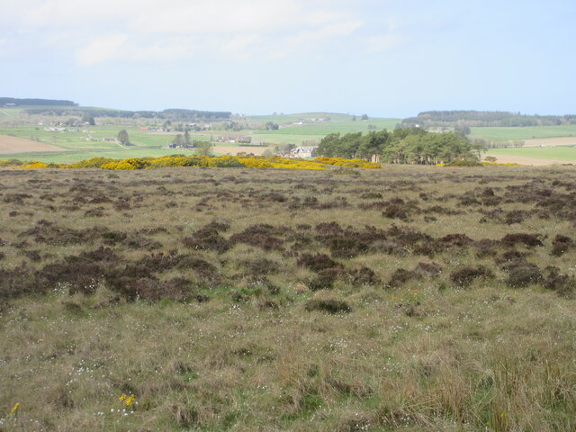
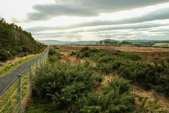
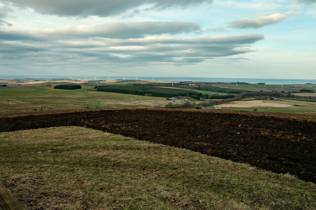
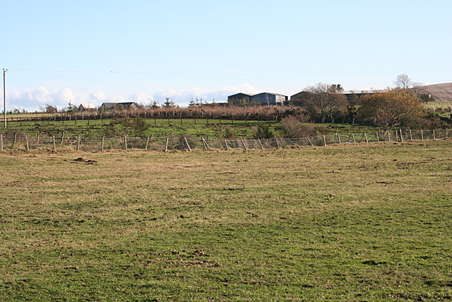
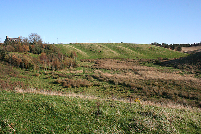
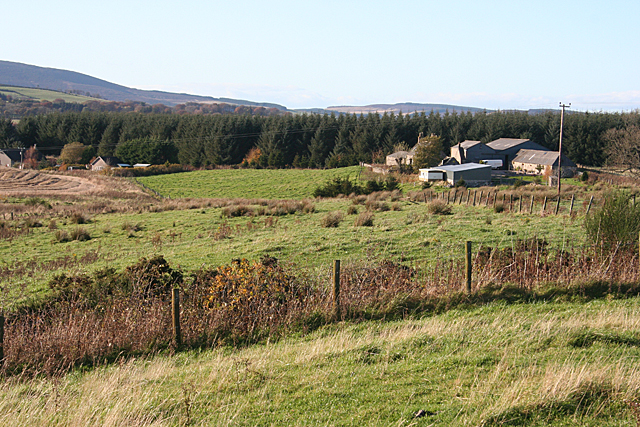
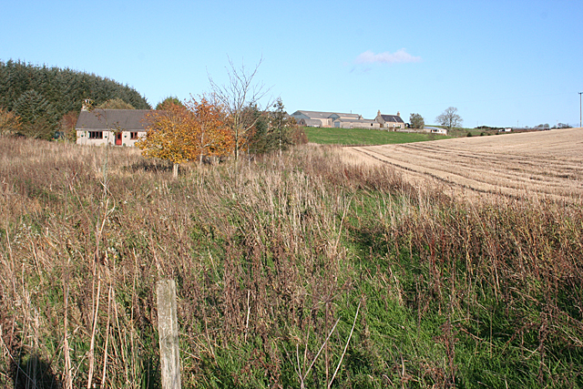
Auchinderran Moss, located in Banffshire, Scotland, is a captivating expanse of downs and moorland. Stretching over a vast area, this natural wonderland offers a rich tapestry of diverse landscapes and an abundance of wildlife.

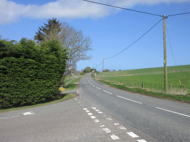
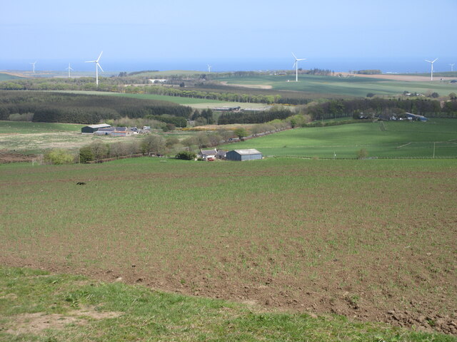
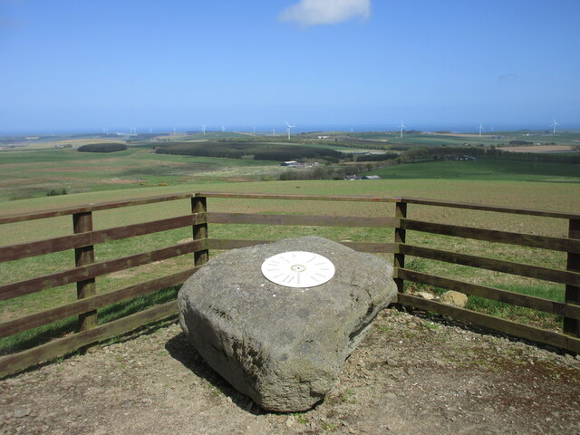
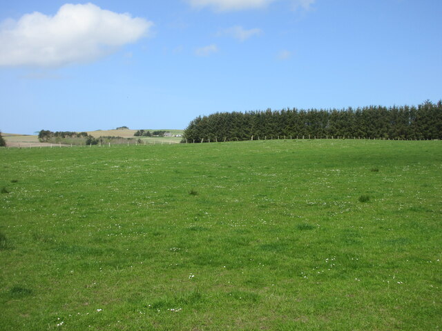
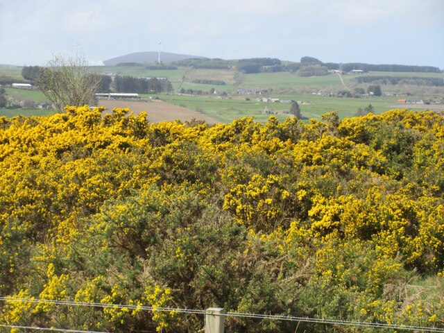
The moss is characterized by its rolling downs, covered in heather and gorse, which create a picturesque panorama. The vibrant purple hues of the heather contrast beautifully with the golden tones of the gorse, providing a breathtaking sight for visitors. The open expanse of the downs also offers unobstructed views of the surrounding countryside, allowing visitors to immerse themselves in the natural beauty of the area.

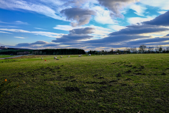
Furthermore, Auchinderran Moss boasts a diverse range of flora and fauna. The moss is home to a variety of bird species, such as curlews, lapwings, and red grouse, making it a popular destination for birdwatching enthusiasts. Additionally, the downs are teeming with smaller creatures, including rabbits and voles, which thrive in the grassy terrain.

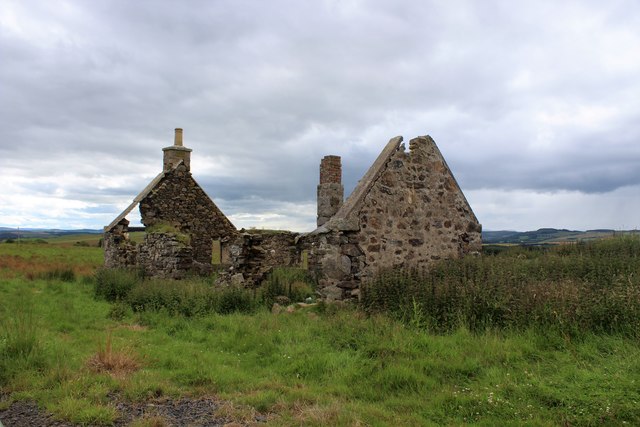
Auchinderran Moss is also a site of historical significance. The moss contains remnants of ancient settlements, including stone circles and burial mounds, which provide a glimpse into the area's rich history and heritage.

Overall, Auchinderran Moss in Banffshire offers a captivating blend of natural beauty, diverse wildlife, and historical significance. Whether visitors are seeking a tranquil escape or an opportunity to explore the region's past, this downs and moorland landscape is sure to leave a lasting impression.

If you have any feedback on the listing, please let us know in the comments section below.

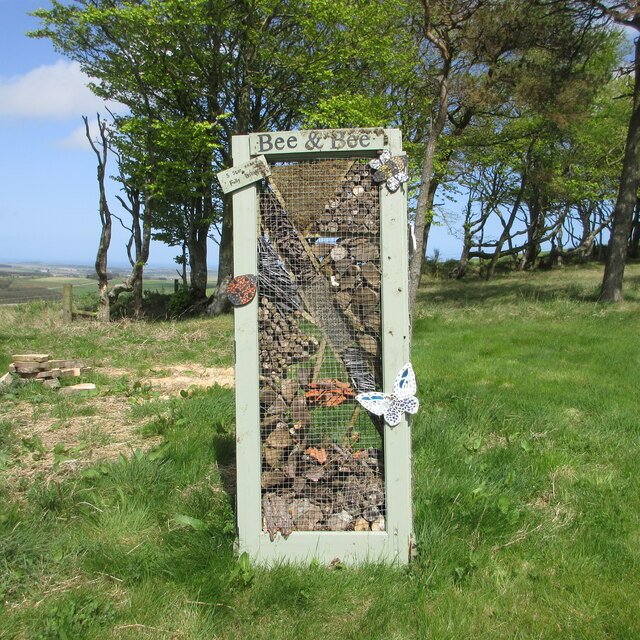
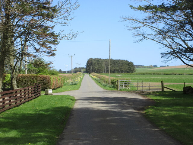
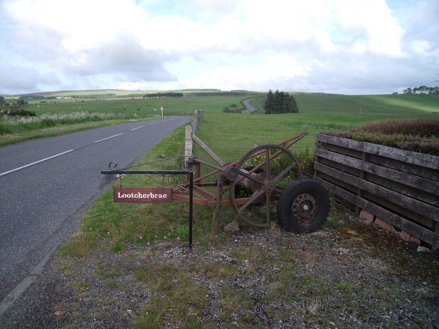
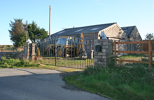
Auchinderran Moss Images

Images are sourced within 2km of 57.589993/-2.64261 or Grid Reference NJ6155. Thanks to Geograph Open Source API. All images are credited.

Ruined Cottage A ruined cottage by the roadside at Black Law just north of Aberchirder.
Ruined Cottage
A ruined cottage by the roadside at Black Law just north of Aberchirder.
A97 at Mossbank The northbound A97 at Mossbank near Blacklaw, three miles north of Aberchirder.
A97 at Mossbank
The northbound A97 at Mossbank near Blacklaw, three miles north of Aberchirder.
View north from the Hill of Maunderlea Looking north from the Hill of Maunderlea towards Weachyburn.
View north from the Hill of Maunderlea
Looking north from the Hill of Maunderlea towards Weachyburn.
Hill of Maunderlea Viewpoint Metal disc on a boulder pointing out the view from the Hill of Maunderlea.
Hill of Maunderlea Viewpoint
Metal disc on a boulder pointing out the view from the Hill of Maunderlea.
Bee & Bee Bee & Bee five star insect hotel on the Hill of Maunderlea.
Bee & Bee
Bee & Bee five star insect hotel on the Hill of Maunderlea.
Pastureland near Dogshillock Daisy sprinkled pasture near Dogshillock.
Pastureland near Dogshillock
Daisy sprinkled pasture near Dogshillock.
Road at Nether Backieley Long straight minor road heading north-east at Nether Backieley.
Road at Nether Backieley
Long straight minor road heading north-east at Nether Backieley.
Gorse at Auchintoul Moss Gorse in bloom at the roadside at Auchintoul Moss.
Gorse at Auchintoul Moss
Gorse in bloom at the roadside at Auchintoul Moss.
Auchintoul Moss Looking westwards over open ground at Auchintoul Moss.
Auchintoul Moss
Looking westwards over open ground at Auchintoul Moss.
Auchintol Moss Looks like a new cycling and walking track alongside the road.
Auchintol Moss
Looks like a new cycling and walking track alongside the road.
A view of the Sea At the Hill of Maunderlea view point looking towards the sea
A view of the Sea
At the Hill of Maunderlea view point looking towards the sea
Fishermans Moss Sheep Sheep in this interesting named area
Fishermans Moss Sheep
Sheep in this interesting named area
Entrance area from Bide-a-while cottage Bide-a-while cottage is on the eastern end of Knowes of Elrick on the road to Aberchirder.
Entrance area from Bide-a-while cottage
Bide-a-while cottage is on the eastern end of Knowes of Elrick on the road to Aberchirder.
Todshillock Todshillock boasts a fine wrought iron gate reading 'Todshillock Manor'.
Todshillock
Todshillock boasts a fine wrought iron gate reading 'Todshillock Manor'.
Looking towards Sheriffseat Partly obscured by trees, Sheriffseat is on the higher land in this square.
Looking towards Sheriffseat
Partly obscured by trees, Sheriffseat is on the higher land in this square.
Glacial Meltwater Channel This has all the classic hallmarks of a glacial meltwater channel - a wide sinuous valley far too big to have been created by the stream it contains. The boggy ground in the valley floor is also a common feature. The house at top left is Upper Peterden.
Glacial Meltwater Channel
This has all the classic hallmarks of a glacial meltwater channel - a wide sinuous valley far too big to have been created by the stream it contains. The boggy ground in the valley floor is also a common feature. The house at top left is Upper Peterden.
Cormackhillock The sign here reads Cormackhillock, and the map says Cormickhillock. The road winds through the farm between the house and the steading. Cormickhillick Cottage is at right.
Cormackhillock
The sign here reads Cormackhillock, and the map says Cormickhillock. The road winds through the farm between the house and the steading. Cormickhillick Cottage is at right.
Cormickhillock The farm is at the top of this view and the cottage is at left. The map says Cormickhillock, but both signs read Cormackhillock.
Cormickhillock
The farm is at the top of this view and the cottage is at left. The map says Cormickhillock, but both signs read Cormackhillock.
Show me another place!

Auchinderran Moss is located at Grid Ref: NJ6155 (Lat: 57.589993, Lng: -2.64261)

Unitary Authority: Aberdeenshire

Police Authority: North East

What 3 Words

///makeup.flopping.flushes. Near Aberchirder, Aberdeenshire

Nearby Locations

Auchinderran Moss

Related Wikis

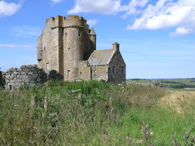
Castle of Park (Aberdeenshire)

Park or Castle of Park, is an A-listed rambling baronial mansion incorporating a 16th-century tower house. It is 4 miles (6.4 km) north-west of Aberchirder...

Aberchirder

Aberchirder (Scots: Fogieloan, Scottish Gaelic: Obar Chiardair) known locally as Foggieloan or Foggie, is a village in Aberdeenshire, Scotland, situated...

Cornhill, Aberdeenshire

Cornhill (Scottish Gaelic: Cnoc an Arbhair) is a small village close to Banff, Aberdeenshire, Scotland. It lies 5 miles (8.0 km) to the south of Portsoy...

Cornhill railway station

Cornhill railway station was an intermediate stop situated on the Great North of Scotland Railway (GNoSR) line from Cairnie Junction to Tillynaught. There...

Tillynaught railway station

Tillynaught railway station or Tillynaught Junction was a junction railway station in what is now Aberdeenshire, Parish of Fordyce, 6 miles south-west...

Glenbarry railway station

Glenbarry railway station, previously known as Barry was an intermediate stop with a passing loop situated on the Great North of Scotland Railway (GNoSR...

Inchdrewer Castle

Inchdrewer Castle is a 16th-century tower house in the parish of Banff, Aberdeenshire, in the north-east of Scotland. Situated on a slight rise 3.5 miles...

Ordens railway station

Ordens railway station was opened in 1859, its services restricted and renamed Ordens Platform railway station by 1911 and finally Ordens Halt railway...

Nearby Amenities

Located within 500m of 57.589993,-2.64261
Auchinderrin Moss
Place: locality
Lat/Long: 57.5920364/-2.6428925
Generator Method: wind_turbine
Generator Output Electricity: 800 kW
Generator Source: wind
Generator Type: horizontal_axis
Manufacturer: Enercon
Model: E-48
Power: generator
Rotor Diameter: 48
Rotor Swept Area: 1,809.6
Lat/Long: 57.5889836/-2.6463451
Power: pole
Lat/Long: 57.5857742/-2.6441568
Power: pole
Lat/Long: 57.5861887/-2.6432578
Power: pole
Lat/Long: 57.5865758/-2.6423678
Power: pole
Lat/Long: 57.5869284/-2.6416051
Power: pole
Lat/Long: 57.5872504/-2.6408904
Power: pole
Lat/Long: 57.5875813/-2.6401382
Power: pole
Lat/Long: 57.5879259/-2.6392287
Power: pole
Lat/Long: 57.588309/-2.6382637
Power: pole
Lat/Long: 57.5886808/-2.6372943
Power: pole
Lat/Long: 57.589035/-2.6363908
Power: pole
Lat/Long: 57.5893875/-2.6355038
Power: pole
Lat/Long: 57.5899015/-2.6345973
Power: pole
Lat/Long: 57.5860167/-2.6402251
Power: pole
Lat/Long: 57.5862968/-2.6413061
Power: pole
Lat/Long: 57.5935296/-2.6394706
Power: pole
Lat/Long: 57.5932563/-2.6392406
Power: pole
Lat/Long: 57.5930687/-2.6390232
Power: pole
Lat/Long: 57.5927459/-2.6381808
Power: pole
Lat/Long: 57.592119/-2.6373935
Power: pole
Lat/Long: 57.5915603/-2.6367011
Power: pole
Lat/Long: 57.5909816/-2.6359687
Power: pole
Lat/Long: 57.5904725/-2.6353313
The data included in this document is from www.openstreetmap.org. The data is made available under ODbL.

Have you been to Auchinderran Moss?

Leave your review of Auchinderran Moss below (or comments, questions and feedback).