Netchwood Common
Downs, Moorland in Shropshire
England
Netchwood Common

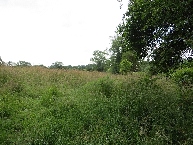
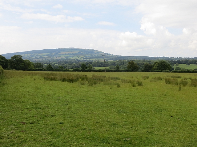
Netchwood Common is a picturesque area located in Shropshire, England. Spread over a vast expanse, it encompasses both downs and moorland landscapes, offering a diverse range of natural beauty to visitors.
Situated in the heart of the county, Netchwood Common is known for its rolling hills and expansive open spaces. The downs, characterized by their gently sloping grassy hills, are a haven for walking enthusiasts and nature lovers. The undulating terrain provides breathtaking panoramic views of the surrounding countryside, making it a popular destination for photographers and outdoor enthusiasts alike.
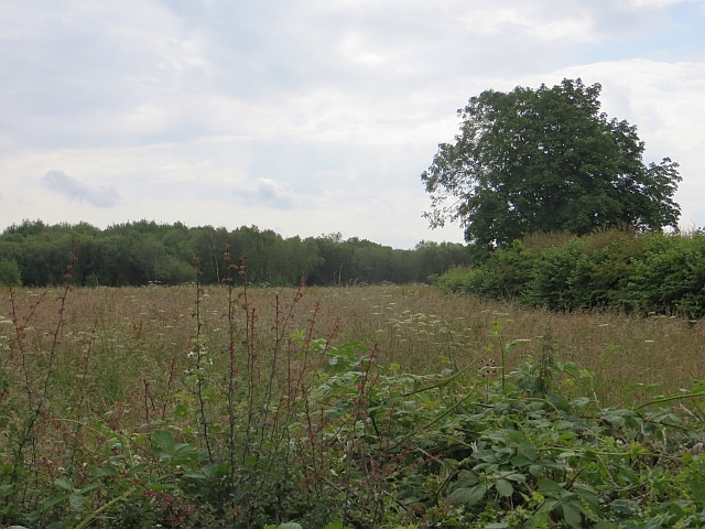
In contrast, the moorland areas of Netchwood Common offer a more rugged and wild landscape. Here, visitors can explore vast stretches of heather-covered moors, punctuated by rocky outcrops and scattered trees. The moorland is home to a variety of wildlife, including birds of prey, small mammals, and rare plant species, providing ample opportunities for wildlife enthusiasts and nature photographers to observe and capture the beauty of the area.
Netchwood Common is also rich in history and cultural heritage. The remnants of ancient settlements, including burial mounds and stone circles, can be found scattered throughout the area, offering a glimpse into the region's past. The common has been used for centuries for grazing livestock and has played a vital role in the local economy.
Overall, Netchwood Common is a unique and captivating destination, offering a blend of natural beauty, historical significance, and recreational opportunities. Whether exploring the downs or immersing oneself in the wild moorland, visitors to Netchwood Common are sure to be captivated by its charm and tranquility.
If you have any feedback on the listing, please let us know in the comments section below.
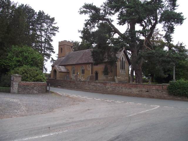
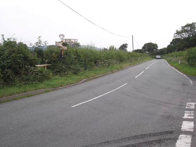
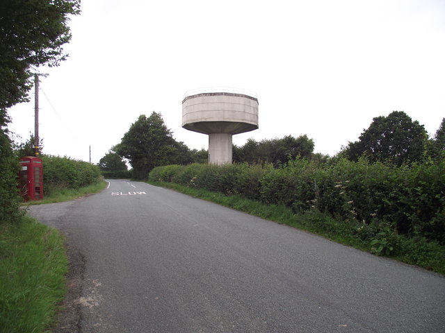
Netchwood Common Images
Images are sourced within 2km of 52.522756/-2.5662962 or Grid Reference SO6191. Thanks to Geograph Open Source API. All images are credited.


Netchwood Common is located at Grid Ref: SO6191 (Lat: 52.522756, Lng: -2.5662962)
Unitary Authority: Shropshire
Police Authority: West Mercia
What 3 Words
///advances.disposing.flips. Near Much Wenlock, Shropshire
Nearby Locations
Related Wikis

Monkhopton
Monkhopton is a village and civil parish in Shropshire, England. It is 6.5 miles south of Much Wenlock. There is an Anglican church: Its co-ordinates are...

Middleton Priors
Middleton Priors is a village in Shropshire. The hamlet of Middleton Baggot lies less than a mile to its east. The population is shown under Ditton Priors...

Ditton Priors Halt railway station
Ditton Priors railway station was a station in Ditton Priors, Shropshire, England. The station was opened in 1908 and closed in 1938. == References... ==

Ditton Priors
Ditton Priors is a village and civil parish in south Shropshire, England. Historically, it was also known as Priors Ditton. The nearest town is Bridgnorth...

Upton Cressett Hall
Upton Cressett Hall is an Elizabethan moated manor house in the village of Upton Cressett, Shropshire, England. It is a Grade I-listed building.The hall...

St Michael's Church, Upton Cressett
St Michael's Church, Upton Cressett, is a redundant Anglican church. It stands on a remote hillside adjacent to Upton Cressett Hall, some 5 km west of...
Upton Cressett
Upton Cressett is a village and civil parish in the English county of Shropshire. Population details for the 2011 census are shown under Aston Eyre parish...

Upton Cressett medieval settlement
Upton Cressett medieval settlement is an archaeological site, a deserted medieval village in Shropshire, England, adjacent to the village of Upton Cressett...
Related Videos

Monkhall Fishery bank holiday teams of five match 27th may 2019
The first Monkhall fishery bank holiday teams of 5 fishing match 27/05/2019 We entered as the Fishomanics . There were 10 ...

Urban Survival Guys Kit Review
We were sent some kit by the owner of Urban Survival Guys to trial out and review. Having spoken to Cameron we were quite ...
Nearby Amenities
Located within 500m of 52.522756,-2.5662962Have you been to Netchwood Common?
Leave your review of Netchwood Common below (or comments, questions and feedback).