Bisset Moss

Downs, Moorland in Aberdeenshire

Scotland

Bisset Moss

Fence-lined minor road leading to Denend Looking south-westward.
Fence-lined minor road leading to Denend Credit: Peter Wood

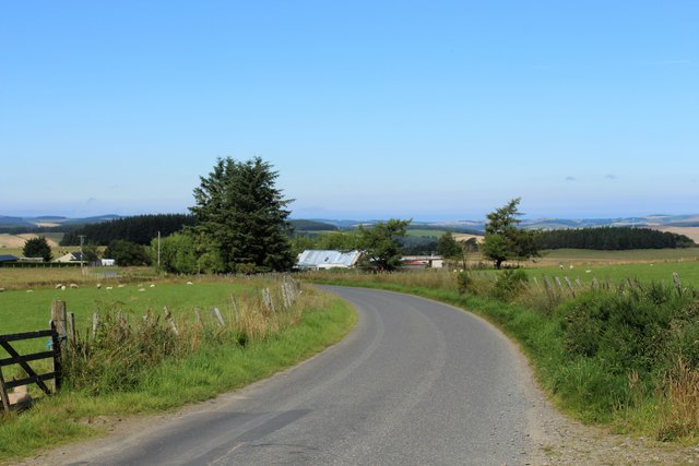
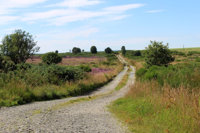
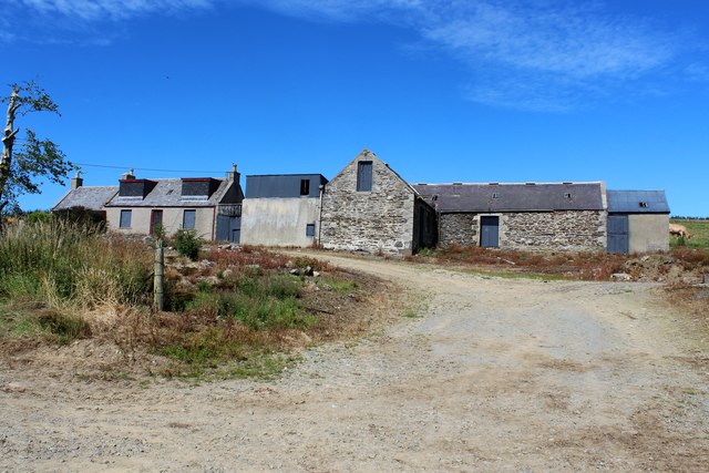
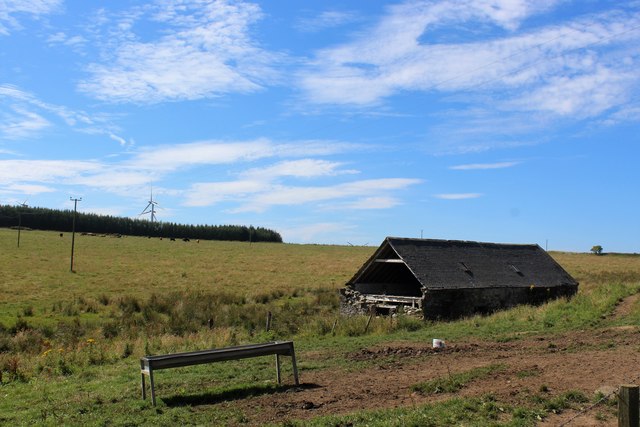
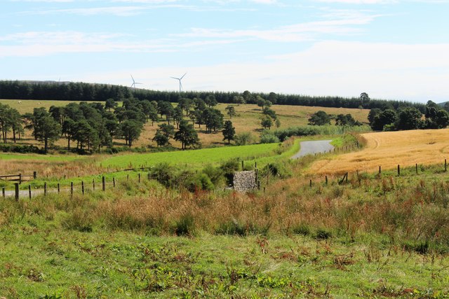
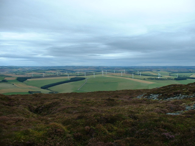
Bisset Moss is a vast expanse of land located in Aberdeenshire, Scotland. Situated in the downs and moorland region, it encompasses an area of approximately 500 acres. The moss is characterized by its unique and diverse ecosystem, which consists of open grasslands, heathlands, and wetlands.

The landscape of Bisset Moss is predominantly flat, with gentle undulations and occasional small hills. It is covered in a thick layer of peat, which gives it its distinctive appearance and plays a crucial role in the moss's ecology. The peat accumulates over time due to the slow decomposition of organic matter, such as plants and mosses.

The moss is home to a wide variety of plant and animal species, many of which are specially adapted to the wetland environment. Visitors can expect to see an array of wildflowers, including cotton grass, bog myrtle, and heather, which add vibrant colors to the landscape during the summer months. The boggy areas of the moss provide habitats for numerous bird species, including curlews, lapwings, and snipes.

Bisset Moss is also of great importance for carbon storage and water regulation. The thick layer of peat acts as a sponge, absorbing rainfall and slowly releasing it into nearby waterways, helping to prevent flooding downstream. Additionally, the peat stores vast amounts of carbon, contributing to the fight against climate change.

The moss offers various recreational opportunities, such as walking and birdwatching. However, it is important for visitors to tread carefully and respect the delicate balance of the ecosystem to ensure the preservation of this unique natural habitat.

If you have any feedback on the listing, please let us know in the comments section below.
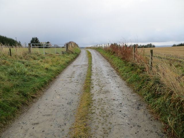
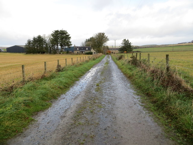
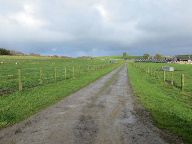
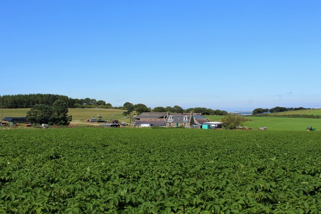
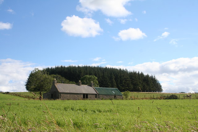
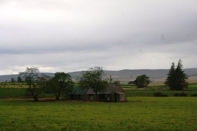
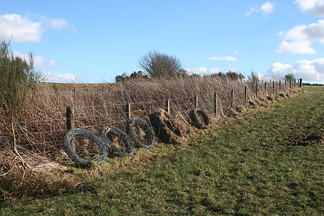
Bisset Moss Images

Images are sourced within 2km of 57.422729/-2.6400587 or Grid Reference NJ6137. Thanks to Geograph Open Source API. All images are credited.

Fence-lined minor road leading to Denend Looking south-westward.
Fence-lined minor road leading to Denend
Looking south-westward.
Fence-lined track to Hillside and Dalebrook Looking south-westward.
Fence-lined track to Hillside and Dalebrook
Looking south-westward.
Fence-lined track to Backhills Looking north-eastward.
Fence-lined track to Backhills
Looking north-eastward.
Fence-lined track to West Cranloch Looking north-eastward.
Fence-lined track to West Cranloch
Looking north-eastward.
East Cranloch A potato crop growing before East Carnloch.
East Cranloch
A potato crop growing before East Carnloch.
Croft by Broom Hill A small croft by the roadway near Broom Hill.
Croft by Broom Hill
A small croft by the roadway near Broom Hill.
Track to Bisset Moss A track west into Bisset Moss.
Track to Bisset Moss
A track west into Bisset Moss.
Upper Millburn The shuttered and locked farmhouse and steading of Upper Millburn.
Upper Millburn
The shuttered and locked farmhouse and steading of Upper Millburn.
Millburn Barn An old disused building by Upper Millburn Farm. It's location by the Mill Burn would suggest that it contained the mill which gave the farm its name.
Millburn Barn
An old disused building by Upper Millburn Farm. It's location by the Mill Burn would suggest that it contained the mill which gave the farm its name.
Millburn Bridge A road bridge over the Mill Burn near Upper Millburn.
Millburn Bridge
A road bridge over the Mill Burn near Upper Millburn.
Croft of Roundhome A small croft by Corse.
Croft of Roundhome
A small croft by Corse.
Parallel Tree Belt A thinned out treebelt leaving just the woodland edges.
Parallel Tree Belt
A thinned out treebelt leaving just the woodland edges.
Croft of Roundholme The abandoned croft of Roundholme by Corse.
Croft of Roundholme
The abandoned croft of Roundholme by Corse.
Near Backhills Ploughed land on the slopes of an outlier of Broom Hill, with a small block of forestty at the top.
Near Backhills
Ploughed land on the slopes of an outlier of Broom Hill, with a small block of forestty at the top.
Rolls of Wire It's fine to see old barbed wire carefully rolled up and tidily stacked, rather than dumped in a tangle or, even worse, left lying in the grass where it could injure wildlife or walkers. I have scars as evidence of the latter practice.
Rolls of Wire
It's fine to see old barbed wire carefully rolled up and tidily stacked, rather than dumped in a tangle or, even worse, left lying in the grass where it could injure wildlife or walkers. I have scars as evidence of the latter practice.
Small Plantation near Heathfield. At the top of a recently ploughed arable field.
Small Plantation near Heathfield.
At the top of a recently ploughed arable field.
Croft of Roundhome Everyone else who has geographed this area seems to have photographed this abandoned farm, though it is actually just inside the next square from here.
Croft of Roundhome
Everyone else who has geographed this area seems to have photographed this abandoned farm, though it is actually just inside the next square from here.
West Cranloch Extensive and relatively flat land surrounds the farms of East and West Cranloch.
West Cranloch
Extensive and relatively flat land surrounds the farms of East and West Cranloch.
Show me another place!

Bisset Moss is located at Grid Ref: NJ6137 (Lat: 57.422729, Lng: -2.6400587)

Unitary Authority: Aberdeenshire

Police Authority: North East

What 3 Words

///agrees.composts.sleeping. Near Insch, Aberdeenshire

Nearby Locations

Bisset Moss

Related Wikis

Bainshole

Bainshole is a farm in Aberdeenshire, Scotland. == References ==

Ythanwells

Ythanwells () is a village in the Marr area of Aberdeenshire, Scotland, lying 10.6 kilometres (6.6 mi) east of Huntly. The village is sometimes known...

Ythan Wells

Ythan Wells, also known as Glenmailen, is the site of a Roman military camp, near the farm of Glenmellan, 2.1 kilometres (1.3 mi) east of the village of...

Brideswell, Aberdeenshire

Brideswell (Scottish Gaelic: Tobar Bhrìde) is a village in Aberdeenshire, Scotland. It is named in honour of Brigid of Ireland.

Nearby Amenities

Located within 500m of 57.422729,-2.6400587
Power: pole
Lat/Long: 57.421061/-2.6333806
Power: pole
Lat/Long: 57.421505/-2.6343701
Power: pole
Lat/Long: 57.4221668/-2.6344659
Power: pole
Lat/Long: 57.4228793/-2.6345676
Power: pole
Lat/Long: 57.4235834/-2.6346654
Power: pole
Lat/Long: 57.4242824/-2.6347747
Power: pole
Lat/Long: 57.4250299/-2.6348706
Power: pole
Lat/Long: 57.4256907/-2.6349588
The data included in this document is from www.openstreetmap.org. The data is made available under ODbL.

Have you been to Bisset Moss?

Leave your review of Bisset Moss below (or comments, questions and feedback).