George's Rough

Downs, Moorland in Cheshire

England

George's Rough

The Olde Barbridge Inn Pub and restaurant on the Shropshire Union Canal Main Line at Barbridge.
The Olde Barbridge Inn Credit: Graham Hogg

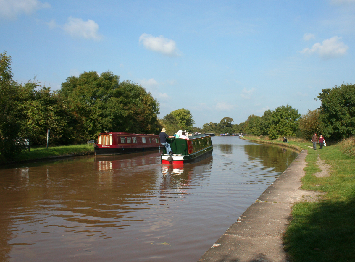
George's Rough is a picturesque area located in Cheshire, England. This expansive landscape is a unique blend of downs and moorland, offering visitors a diverse and captivating natural experience. Spanning over a considerable area, George's Rough is a haven for nature enthusiasts and outdoor adventurers alike.

The downs of George's Rough are characterized by their gently rolling hills covered in lush green grass. These open spaces provide visitors with breathtaking views of the surrounding countryside, making it an ideal spot for picnics, leisurely walks, and even kite flying. The downs also serve as a habitat for various species of wildlife, including birds and small mammals, making it a popular destination for birdwatchers and animal lovers.

In contrast, the moorland areas of George's Rough offer a more rugged and untamed landscape. Here, visitors can explore vast stretches of heather-covered hills, interspersed with rocky outcrops and bogs. This unique habitat is home to a range of plant species that have adapted to the harsh conditions, creating a vibrant tapestry of colors throughout the year.

George's Rough also boasts a network of well-maintained walking trails, allowing visitors to fully immerse themselves in the beauty of the surroundings. Whether it's a leisurely stroll or a more challenging hike, there is a trail to suit every preference and fitness level.

Overall, George's Rough in Cheshire is a captivating destination that showcases the diversity and natural beauty of the British countryside. With its blend of downs and moorland, it offers visitors a unique and memorable experience, providing a tranquil escape from the hustle and bustle of everyday life.

If you have any feedback on the listing, please let us know in the comments section below.

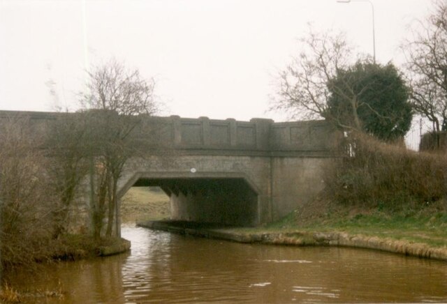
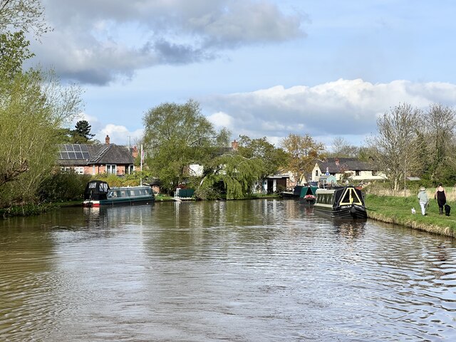
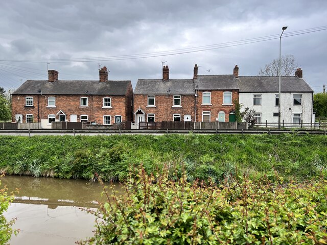
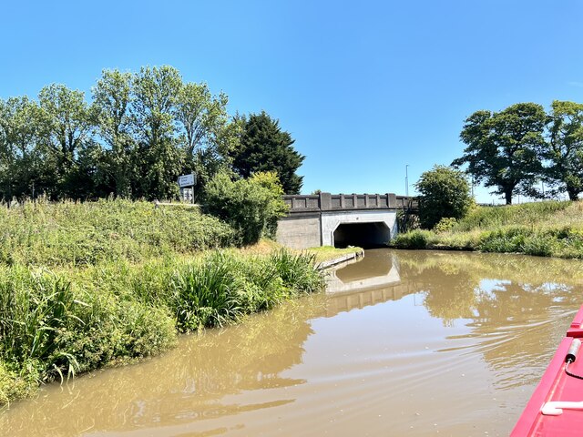
George's Rough Images

Images are sourced within 2km of 53.100901/-2.5813607 or Grid Reference SJ6156. Thanks to Geograph Open Source API. All images are credited.

The Olde Barbridge Inn Pub and restaurant on the Shropshire Union Canal Main Line at Barbridge.
The Olde Barbridge Inn
Pub and restaurant on the Shropshire Union Canal Main Line at Barbridge.
Barbridge Junction on the Shropshire Union Canal The junction of the Middlewich Branch of the canal with the Main Line
Barbridge Junction on the Shropshire Union Canal
The junction of the Middlewich Branch of the canal with the Main Line
Shropshire Union Canal Middlewich Branch Viewed from the bridge at Barbridge Junction <a href="https://www.geograph.org.uk/photo/7029583">SJ6156 : Barbridge Junction on the Shropshire Union Canal</a>
Shropshire Union Canal Middlewich Branch
Viewed from the bridge at Barbridge Junction SJ6156 : Barbridge Junction on the Shropshire Union Canal
Narrowboat 'Zorro' at Barbridge Junction Continuing on the main line of the Shropshire Union Canal <a href="https://www.geograph.org.uk/photo/7029583">SJ6156 : Barbridge Junction on the Shropshire Union Canal</a>
Narrowboat 'Zorro' at Barbridge Junction
Continuing on the main line of the Shropshire Union Canal SJ6156 : Barbridge Junction on the Shropshire Union Canal
Cheshire Canal Wardham Farm Bridge, number 102, carries the A51 over the canal.
Cheshire Canal
Wardham Farm Bridge, number 102, carries the A51 over the canal.
Llangollen Canal Red Admiral turns into the Llangollen Canal
Llangollen Canal
Red Admiral turns into the Llangollen Canal
The Shropshire Union Canal Near Vicker's Bridge.
The Shropshire Union Canal
Near Vicker's Bridge.
The Shropshire Union Canal South of Barbridge.
The Shropshire Union Canal
South of Barbridge.
Former barn Next to Wardle Old Hall.
Former barn
Next to Wardle Old Hall.
Cottages on Nantwich Road At Barbridge.
Cottages on Nantwich Road
At Barbridge.
Culvert under the Shropshire Union Canal At Barbridge
Culvert under the Shropshire Union Canal
At Barbridge
Roving Bridge Grade II listed. Listing number 1312853. Towing path bridge at the junction of the Middlewich Branch of the Shropshire Union Canal with the Chester to Nantwich length. Circa 1830, said to be by Thomas Telford.
Roving Bridge
Grade II listed. Listing number 1312853. Towing path bridge at the junction of the Middlewich Branch of the Shropshire Union Canal with the Chester to Nantwich length. Circa 1830, said to be by Thomas Telford.
Goodwin's Bridge Bridge 101 on the Shropshire Union Canal
Goodwin's Bridge
Bridge 101 on the Shropshire Union Canal
The Middlewich Branch Near Barbridge.
The Middlewich Branch
Near Barbridge.
Shropshire Union Canal With Stoke Hall Biridge in the distance.
Shropshire Union Canal
With Stoke Hall Biridge in the distance.
The Cheshire Plain
The Cheshire Plain
Pasture on The Cheshire Plain
Approaching Wardle Farm Bridge On the Shropshire Union Canal.
Approaching Wardle Farm Bridge
On the Shropshire Union Canal.
Show me another place!

George's Rough is located at Grid Ref: SJ6156 (Lat: 53.100901, Lng: -2.5813607)

Unitary Authority: Cheshire East

Police Authority: Cheshire

What 3 Words

///dozens.boil.sculpting. Near Bunbury, Cheshire

Related Wikis

Barbridge Junction

Barbridge Junction (grid reference SJ612570) is the name of the canal junction located at Barbridge, Cheshire, where the Shropshire Union Canal Middlewich...

Wardle, Cheshire

Wardle is a village and civil parish in the unitary authority of Cheshire East and the ceremonial county of Cheshire, England. The village lies on the...

Stoke, Cheshire East

Stoke is a former civil parish, now in the parish of Stoke and Hurleston, in the unitary authority area of Cheshire East and the ceremonial county of Cheshire...

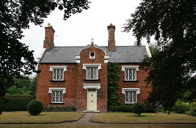
Stoke Hall, Cheshire

Stoke Hall is a Grade II listed mansion on Stoke Hall Lane in the civil parish of Stoke in Cheshire East, England. The large L-shaped building dates originally...

Hurleston

Hurleston was a civil parish until May 2023 and now forms part of the civil parish of Stoke and Hurleston, within the unitary authority area of Cheshire...
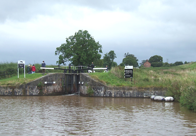
Hurleston Junction

Hurleston Junction (grid reference SJ625553) is the name of the canal junction where the Llangollen Canal terminates and meets the Shropshire Union Canal...

Mark III (radio telescope)

The Mark III was a portable and fully steerable radio telescope located at Wardle, near Nantwich, Cheshire in the north-west of England. Constructed in...

Snugburys

Snugburys is an English ice cream manufacturer based at Park Farm in Hurleston, near Nantwich, in the county of Cheshire. Snugburys makes over 35 flavours...

Nearby Amenities

Located within 500m of 53.100901,-2.5813607
Barrier: stile
Foot: yes
Note: As of April 2022 there was a shallow but unbridged ditch here. Reported to Cheshire East rights of way office.
Note 2: This is the right of way - diverging immediately north of the stile to Stoke FP 2 and FP 3 - there is no right of way through the field gap further west
Lat/Long: 53.0998003/-2.579365
Barrier: stile
Foot: yes
Lat/Long: 53.1031749/-2.5783593
Barrier: stile
Foot: yes
Lat/Long: 53.1036087/-2.5791436
Barrier: stile
Foot: yes
Lat/Long: 53.1007566/-2.585306
Barrier: stile
Foot: yes
Material: wood
Step Count: 2
Lat/Long: 53.0985251/-2.5875475
Barrier: stile
Foot: yes
Material: wood
Step Count: 2
Lat/Long: 53.0982304/-2.5867192
Barrier: stile
Foot: yes
Lat/Long: 53.0973679/-2.5847583
Barrier: stile
Foot: yes
Lat/Long: 53.0974157/-2.5817613
Barrier: stile
Foot: yes
Lat/Long: 53.1033486/-2.5795988
Barrier: fence
Note: fence obstructing public right of way
Lat/Long: 53.1031466/-2.5785161
The data included in this document is from www.openstreetmap.org. The data is made available under ODbL.

Have you been to George's Rough?

Leave your review of George's Rough below (or comments, questions and feedback).