Crosy Ravensworth Fell
Downs, Moorland in Westmorland Eden
England
Crosy Ravensworth Fell
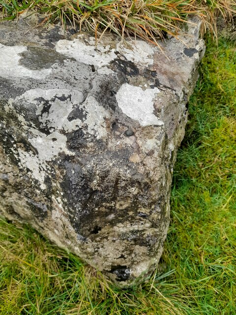
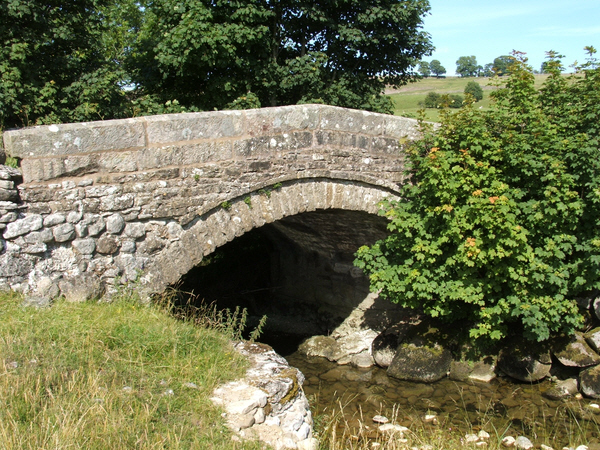
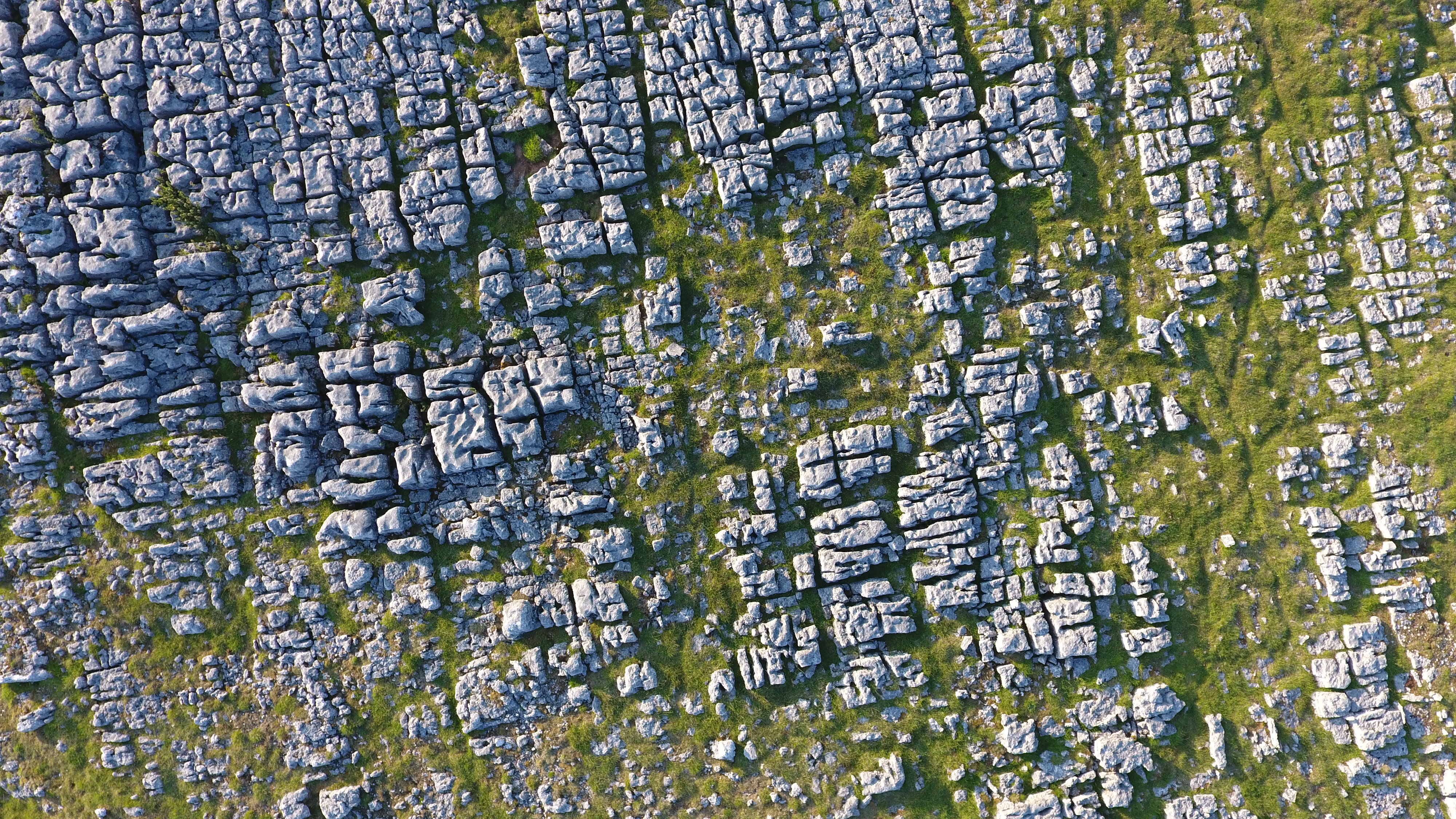
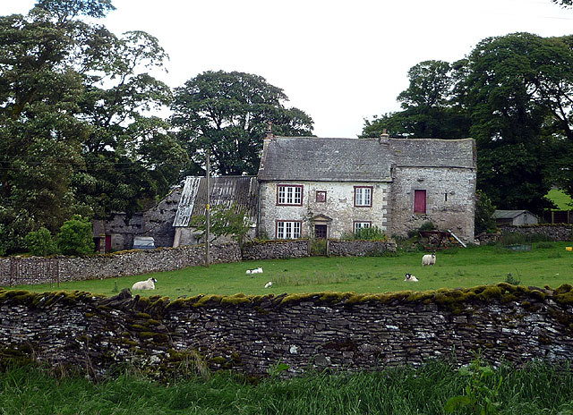
Crosby Ravensworth Fell is a picturesque area located in Westmorland, Cumbria, England. It is characterized by its rolling hills, expansive moorlands, and stunning views of the surrounding countryside. Covering an area of approximately 2,500 acres, the fell is a haven for nature enthusiasts and hikers.
The landscape of Crosby Ravensworth Fell is predominantly made up of open grasslands, heather moorlands, and scattered woodlands. The diverse range of habitats supports a wide variety of flora and fauna. Visitors can expect to encounter an array of wildflowers, including heather, bilberry, and cotton grass, as well as numerous bird species, such as curlews, lapwings, and skylarks.
The fell is crisscrossed by a network of footpaths and trails, making it easily accessible for outdoor activities. Hiking and walking are popular pastimes, offering opportunities to explore the stunning scenery and discover hidden gems along the way. The summit of the fell provides panoramic views of the surrounding countryside, with the Lake District fells visible in the distance on a clear day.
Crosby Ravensworth Fell is also home to several archaeological sites, adding to its historical significance. The remains of ancient settlements, stone circles, and burial mounds can be found scattered across the landscape, providing a glimpse into the area's rich past.
Overall, Crosby Ravensworth Fell is a tranquil and idyllic location, perfect for those seeking a peaceful retreat amidst the beauty of nature. It offers a unique blend of natural beauty, wildlife, and historical intrigue, making it a must-visit destination for nature lovers and history enthusiasts alike.
If you have any feedback on the listing, please let us know in the comments section below.
Crosy Ravensworth Fell Images
Images are sourced within 2km of 54.509488/-2.6014366 or Grid Reference NY6112. Thanks to Geograph Open Source API. All images are credited.


Crosy Ravensworth Fell is located at Grid Ref: NY6112 (Lat: 54.509488, Lng: -2.6014366)
Administrative County: Cumbria
District: Eden
Police Authority: Cumbria
What 3 Words
///flattery.alcove.alert. Near Shap, Cumbria
Nearby Locations
Related Wikis
Orton Fells
The Orton Fells is an upland area in Northern England, mostly consisting of limestone hills, plateaus and moorlands. Historically in Westmorland, the area...

Westmorland
Westmorland (, formerly also spelt Westmoreland) is a historic county in North West England spanning the southern Lake District and the northern Dales...

Oddendale
Oddendale is a hamlet in Cumbria, England, near the large village of Shap. For transport there is the M6 motorway and the A6 road. == History == ��3�...

Crosby Ravensworth
Crosby Ravensworth is a village and civil parish in the Eden district of Cumbria, England. The village is about 4 miles (6.4 km) east of the M6 motorway...

St Lawrence's Church, Crosby Ravensworth
St Lawrence's Church is in the village of Crosby Ravensworth, Cumbria, England. It is an active Anglican parish church in the deanery of Appleby, the...

Flass
Flass, also called Flass House, is a large Grade II* listed house near the village of Maulds Meaburn, Cumbria, England. It was built in the 19th century...
Hardendale
Hardendale is a hamlet in the parish of Shap Rural in the Eden District, in the county of Cumbria, England, near Shap and junction 39 of the M6 motorway...

Maulds Meaburn
Maulds Meaburn (English: ) is a village in Cumbria, England. It is located in the Lyvennet Valley and Yorkshire Dales National Park and is 13 miles from...
Nearby Amenities
Located within 500m of 54.509488,-2.6014366Have you been to Crosy Ravensworth Fell?
Leave your review of Crosy Ravensworth Fell below (or comments, questions and feedback).