Ancrum Common
Downs, Moorland in Roxburghshire
Scotland
Ancrum Common
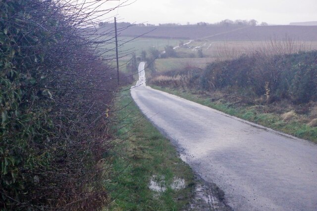
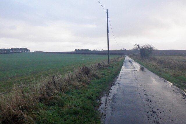
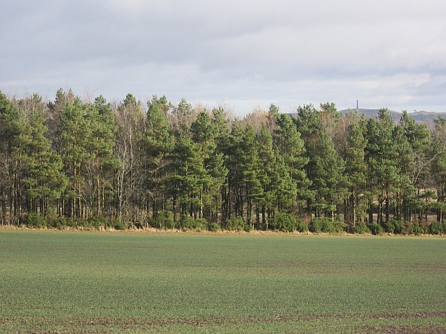
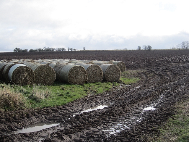
Ancrum Common is a vast expanse of downs and moorland located in Roxburghshire, Scotland. Covering an area of approximately 2,000 acres, it is a significant natural landscape and a popular destination for outdoor enthusiasts and nature lovers.
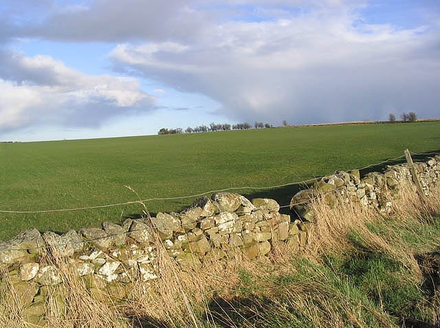
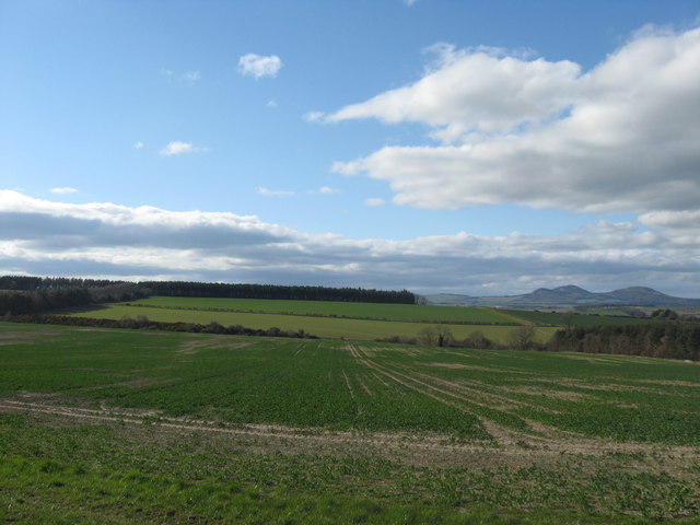
The common is characterized by its gently rolling hills, heather-covered moorland, and scattered woodlands, providing a diverse habitat for a range of flora and fauna. The area is home to various species of birds, including red grouse, curlews, and skylarks, making it an ideal spot for birdwatching.
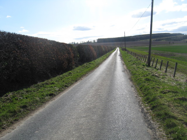
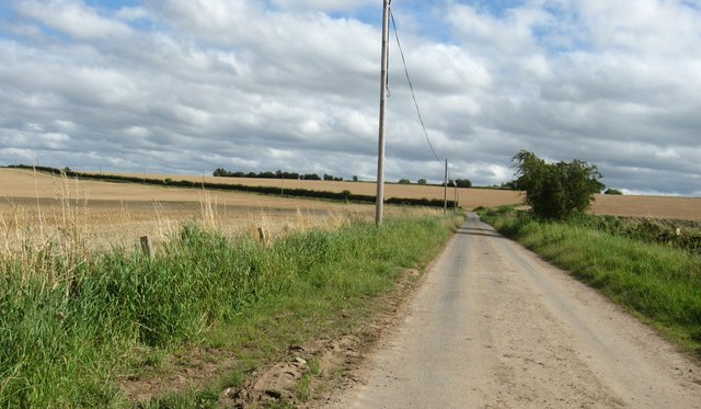
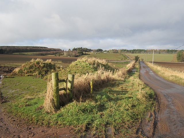
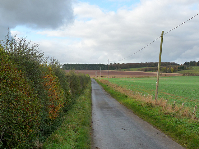
Ancrum Common offers several walking trails and paths, allowing visitors to explore the stunning scenery and immerse themselves in nature. These routes cater to different levels of difficulty, from easy strolls to more challenging hikes, providing options for all ages and abilities.
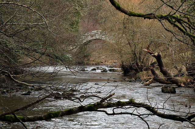
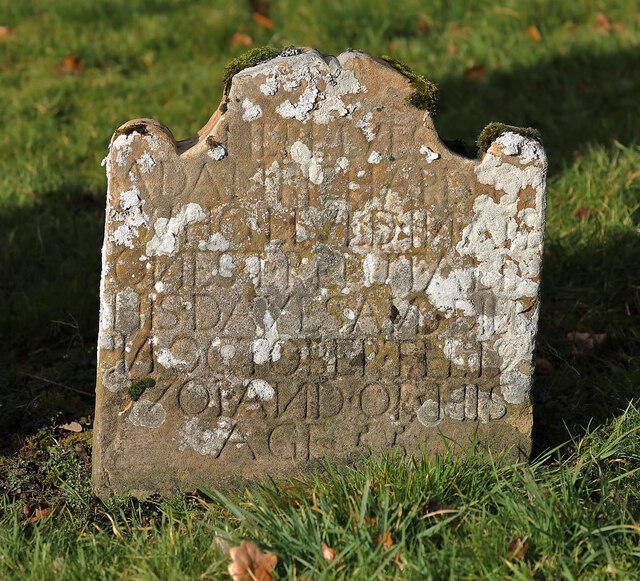
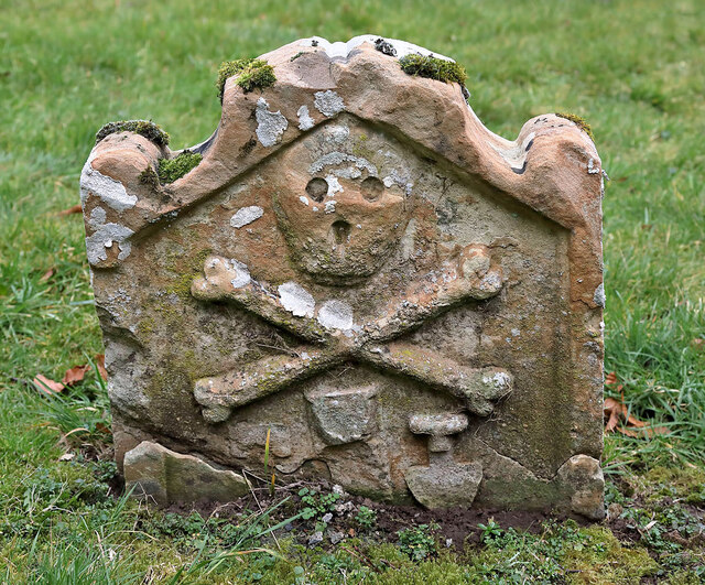
Additionally, the common has a rich history, with evidence of ancient settlements and archaeological sites dating back to prehistoric times. There are also remnants of old stone walls and boundary markers that add to the charm and character of the area.
For those seeking tranquility and escape from the hustle and bustle of everyday life, Ancrum Common provides a peaceful retreat. The breathtaking panoramic views, the fresh air, and the serenity of the surroundings make it an idyllic location for picnics, meditation, or simply enjoying the beauty of the natural world.
Overall, Ancrum Common is a picturesque and diverse landscape that offers a range of outdoor activities, a haven for wildlife, and a place of historical significance, making it a must-visit destination in Roxburghshire.
If you have any feedback on the listing, please let us know in the comments section below.
Ancrum Common Images
Images are sourced within 2km of 55.510954/-2.6167457 or Grid Reference NT6124. Thanks to Geograph Open Source API. All images are credited.


Ancrum Common is located at Grid Ref: NT6124 (Lat: 55.510954, Lng: -2.6167457)
Unitary Authority: The Scottish Borders
Police Authority: The Lothians and Scottish Borders
What 3 Words
///doubts.flask.offer. Near Jedburgh, Scottish Borders
Nearby Locations
Related Wikis
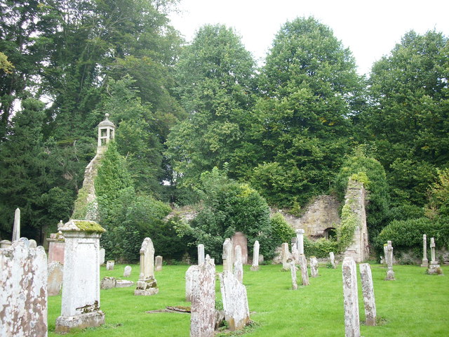
Ancrum Old Parish Church
Ancrum Old Parish Church is situated just over half a mile north west of the village of Ancrum in the Scottish Borders area of Scotland, on the B4600 road...

Ancrum
Ancrum (Scottish Gaelic: Alan Crom) is a village in the Borders area of Scotland, 5 km (3.1 mi) northwest of Jedburgh.The village — which currently has...
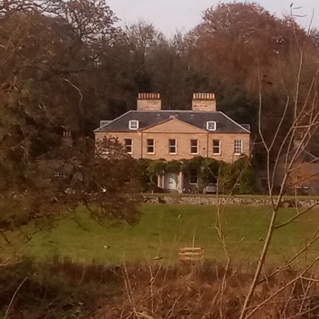
Chesters (estate)
Chesters is a 1,565-acre (633 ha) country estate near Ancrum, located on the banks of the River Teviot in the Scottish Borders area of Scotland. The estate...

Ale Water
The Ale Water is a tributary of the River Teviot, in the Scottish Borders area of Scotland. It rises at Henwoodie Hill and flows through Alemoor Loch....

Monteath Mausoleum
The Monteath Mausoleum is a large landmark in the Scottish Borders near the village of Ancrum. The listed building can be seen from the A68 road just north...

Lanton Tower
Lanton Tower is a 16th-century tower house, about 2.0 miles (3.2 km) northwest of Jedburgh, Scottish Borders, Scotland, at Lanton. == History == In 1513...

Timpendean Tower
Timpendean Tower (tim-pen-deen) or Typenden Castle as it was once known, is a ruined 15th-century tower house near Lanton, around 1.5 miles (2.4 km) north...
Battle of Ancrum Moor
The Battle of Ancrum Moor was fought during the War of the Rough Wooing in 1545. The Scottish victory put a temporary end to English incursions in the...
Related Videos

Roman road - walking along Dere Street
Roman road - walking along Dere Street. #live #travel #history Come with me along Dere Street, or Watling Street, or St Cuthbert's ...

Waterloo Monument On Visit Near Ancrum In The Borders Of Scotland
Tour Scotland travel video clip, with Scottish music, of the Waterloo monument on visit near Ancrum in the Scottish Borders. This is ...
Nearby Amenities
Located within 500m of 55.510954,-2.6167457Have you been to Ancrum Common?
Leave your review of Ancrum Common below (or comments, questions and feedback).