Sleagill Moor

Downs, Moorland in Westmorland Eden

England

Sleagill Moor

Barns at Llittlebeck
Barns at Llittlebeck Credit: Ian Taylor

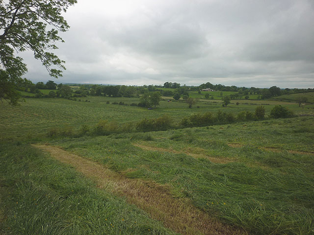
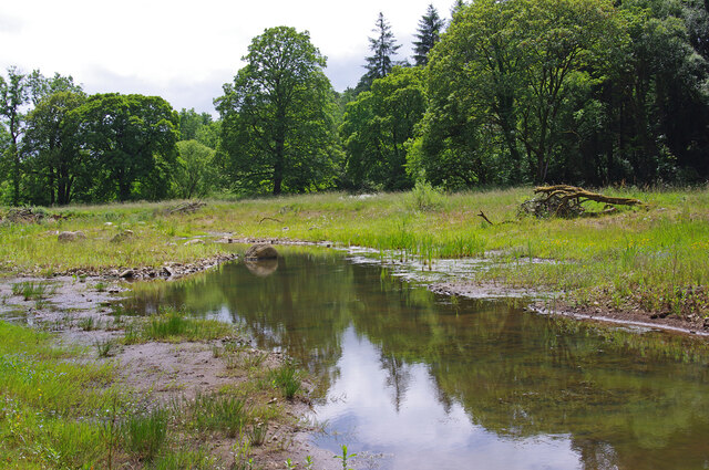
Sleagill Moor is a picturesque expanse of natural beauty located in Westmorland, a historic county in North West England. Stretching across acres of land, the moor is characterized by its stunning downs and moorland landscape. The area is renowned for its unspoiled, rugged terrain and offers visitors a unique opportunity to immerse themselves in the tranquility of the countryside.

The moor is adorned with rolling hills, covered in a patchwork of heather, grasses, and wildflowers, creating a vibrant and colorful scene throughout the year. The diversity of flora and fauna found in Sleagill Moor is a testament to the area's rich biodiversity. Visitors can spot a range of bird species, such as curlews, lapwings, and red grouse, as well as other wildlife like hares, foxes, and deer.

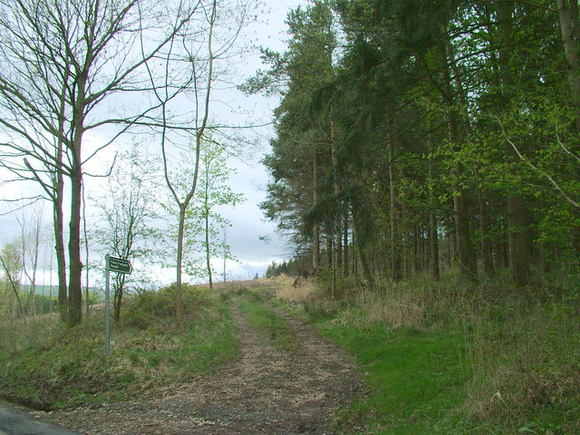
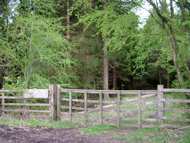
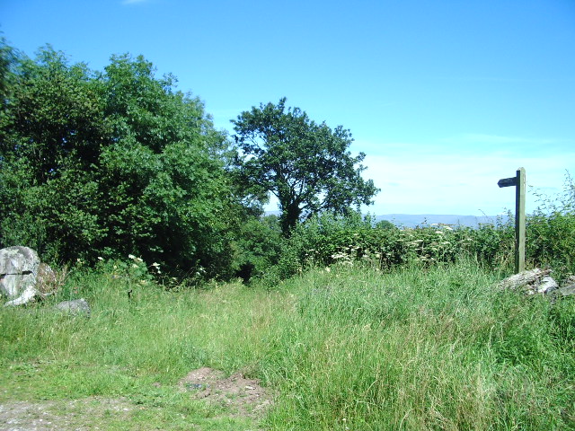
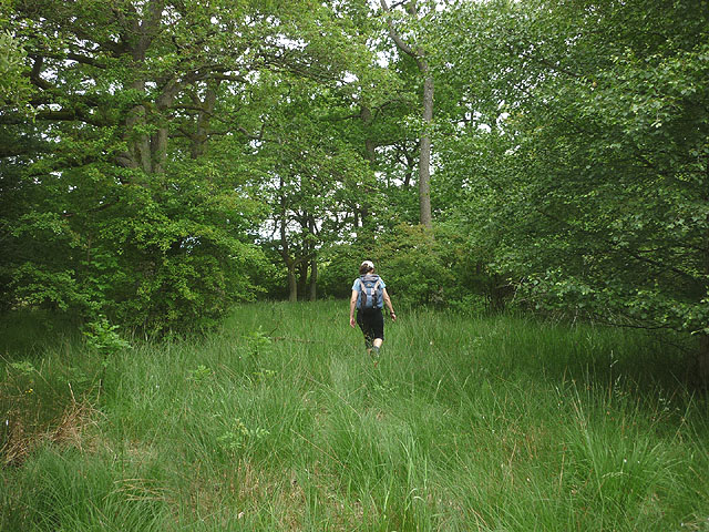
The moorland is intersected by a network of footpaths, making it a popular destination for hikers and nature enthusiasts. The paths offer breathtaking views of the surrounding countryside, including the distant peaks of the Lake District and the Pennines.

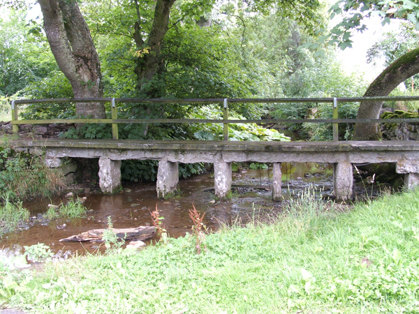
Sleagill Moor provides a peaceful retreat for those seeking solace in nature. Its remote location and absence of human development create an atmosphere of serenity and seclusion. Visitors can enjoy the simplicity of the moorland, taking in the fresh air, listening to the sounds of nature, and relishing in the beauty of the Westmorland landscape.

Overall, Sleagill Moor is a hidden gem in Westmorland, offering a haven of tranquility and natural splendor. Whether exploring the downs, strolling through the moorland, or simply appreciating the breathtaking views, visitors are sure to find peace and inspiration in this remarkable landscape.

If you have any feedback on the listing, please let us know in the comments section below.

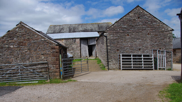
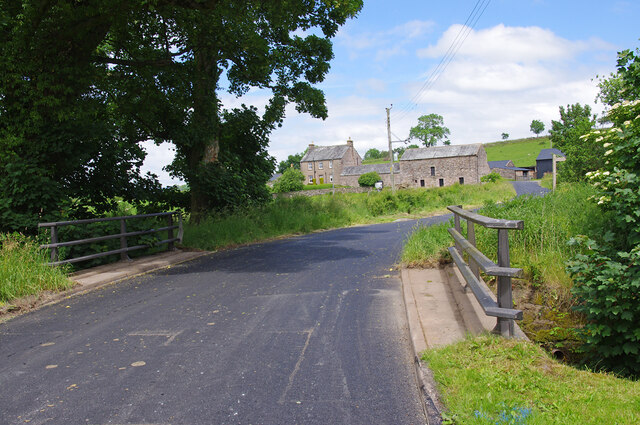
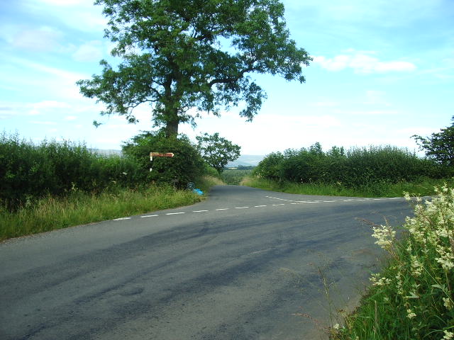
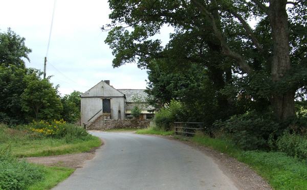
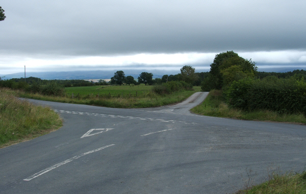
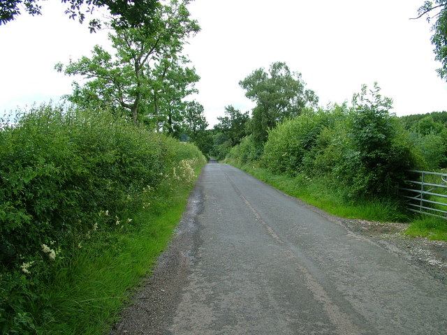
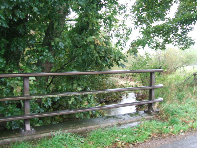
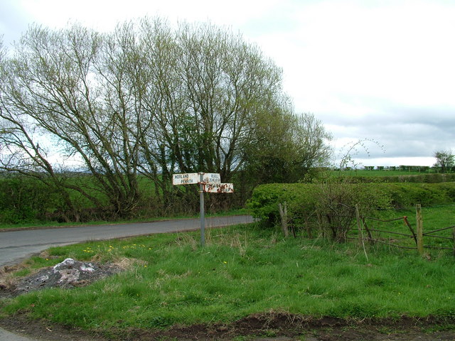
Sleagill Moor Images

Images are sourced within 2km of 54.576491/-2.6056875 or Grid Reference NY6020. Thanks to Geograph Open Source API. All images are credited.

Barns at Llittlebeck
Llittlebeck In the foreground is a bridge over Little Beck.
Llittlebeck
In the foreground is a bridge over Little Beck.
Road junction The road to the left leads to Lowfield Farm and Barnskew, whilst the road continues to the right on its way to Maulds Meaburn
Road junction
The road to the left leads to Lowfield Farm and Barnskew, whilst the road continues to the right on its way to Maulds Meaburn
Littlebeck Farm between Maulds Meaburn and King's Meaburn.
Littlebeck
Farm between Maulds Meaburn and King's Meaburn.
Cross Roads Cross roads from Sleagill to Littlebeck. To the left Morland, to the right Maulds Meaburn.
Cross Roads
Cross roads from Sleagill to Littlebeck. To the left Morland, to the right Maulds Meaburn.
Road near Turnbank
Road near Turnbank
The bridge at Littlebeck A tributary of the Lyvennet.
The bridge at Littlebeck
A tributary of the Lyvennet.
Sign at crossroads
Sign at crossroads
Footpath to Reagill
Footpath to Reagill
Woodland entrance
Woodland entrance
Public bridleway to Newby
Footbridge over Newby Beck Footbridge at Newby End.
Footbridge over Newby Beck
Footbridge at Newby End.
Harvested grass east of Sleagill A tractor was busy cutting the grass crop over a wide area where the footpath passes through.
Harvested grass east of Sleagill
A tractor was busy cutting the grass crop over a wide area where the footpath passes through.
Footpath through Main Ing Plantation As with many of the unfrequented paths in this area there is no marking and little sign of passage.
Footpath through Main Ing Plantation
As with many of the unfrequented paths in this area there is no marking and little sign of passage.
Farm buildings by the footpath A corrugated iron shed and stone building by the track near Sleagill.
Farm buildings by the footpath
A corrugated iron shed and stone building by the track near Sleagill.
Jackdaws Scar Ford This new raised ford was completed in November 2021. Under low flow conditions, vehicles can cross the ford without disturbing the river-life. Also, vehicles can cross the ford safely with higher flows than before. The ford had been closed after being damaged by Storm Desmond in December 2015. See <a href="https://www.geograph.org.uk/photo/3601916">NY6121 : Ford and Footbridge over the River Lyvennet</a> (2013) & <a href="https://www.geograph.org.uk/photo/6216357">NY6121 : Dangerous ford!</a> (2019).
Jackdaws Scar Ford
This new raised ford was completed in November 2021. Under low flow conditions, vehicles can cross the ford without disturbing the river-life. Also, vehicles can cross the ford safely with higher flows than before. The ford had been closed after being damaged by Storm Desmond in December 2015. See NY6121 : Ford and Footbridge over the River Lyvennet (2013) & NY6121 : Dangerous ford! (2019).
Victorian post box, Kings Meaburn Mounted on the post office wall. See <a href="https://www.geograph.org.uk/photo/5298812">NY6221 : The White Horse, King's Meaburn</a>.
Victorian post box, Kings Meaburn
Mounted on the post office wall. See NY6221 : The White Horse, King's Meaburn.
River Lyvennet wetland scrape Presumably, this was created by the Eden Rivers Trust as part of their river restoration project. The river is just over the bank running across the photo.
River Lyvennet wetland scrape
Presumably, this was created by the Eden Rivers Trust as part of their river restoration project. The river is just over the bank running across the photo.
Show me another place!

Sleagill Moor is located at Grid Ref: NY6020 (Lat: 54.576491, Lng: -2.6056875)

Administrative County: Cumbria

District: Eden

Police Authority: Cumbria

What 3 Words

///tutorial.scornful.glides. Near Shap, Cumbria

Nearby Locations

Sleagill Moor

Related Wikis

Littlebeck, Cumbria

Littlebeck is a hamlet in the Eden District in the English county of Cumbria, located near the small village of King's Meaburn, the hamlet of Lankaber...

King's Meaburn

King's Meaburn (English: ) is a small village and civil parish in Cumbria, England. It is located 5 miles (8.0 km) from Appleby-in-Westmorland and 10 miles...

Sleagill

Sleagill is a small village and civil parish in the Eden district of Cumbria, England. At the 2011 census Sleagill was grouped with Newby giving a total...

Newby, Cumbria

Newby is a village and civil parish in the Eden district of the county of Cumbria, England. It is about 7 miles (11 km) from the large town of Penrith...

Nearby Amenities

Located within 500m of 54.576491,-2.6056875
Power: pole
Lat/Long: 54.5802951/-2.6077509
Power: pole
Lat/Long: 54.5794915/-2.6068148
Power: pole
Lat/Long: 54.578694/-2.6061389
Power: pole
Lat/Long: 54.5779229/-2.605581
Power: pole
Lat/Long: 54.5762392/-2.6042023
Power: pole
Lat/Long: 54.5753912/-2.603509
Power: pole
Lat/Long: 54.5745236/-2.6028129
Power: pole
Lat/Long: 54.5736771/-2.6021263
Power: pole
Lat/Long: 54.5732728/-2.6007932
Power: pole
Lat/Long: 54.5744109/-2.610476
Power: pole
Lat/Long: 54.5753531/-2.6105833
Power: pole
Lat/Long: 54.5763916/-2.6107711
Power: pole
Lat/Long: 54.5775047/-2.6109763
Power: pole
Lat/Long: 54.5785572/-2.6111063
Power: pole
Lat/Long: 54.5795397/-2.6113021
The data included in this document is from www.openstreetmap.org. The data is made available under ODbL.

Have you been to Sleagill Moor?

Leave your review of Sleagill Moor below (or comments, questions and feedback).