Owshaw Moss
Downs, Moorland in Westmorland South Lakeland
England
Owshaw Moss

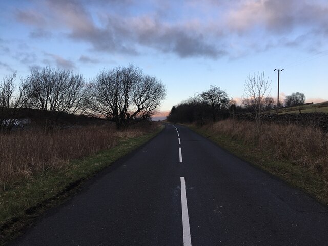
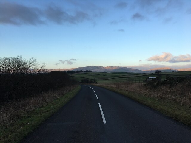
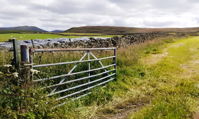
Owshaw Moss is a vast expanse of moorland located in Westmorland county, England. It is situated in the northern part of the county, near the borders of Cumbria and North Yorkshire. The moss covers an area of approximately 500 acres and is characterized by its open, undulating terrain and rich biodiversity.
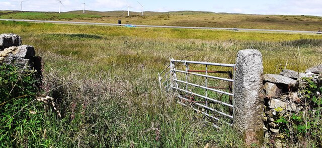
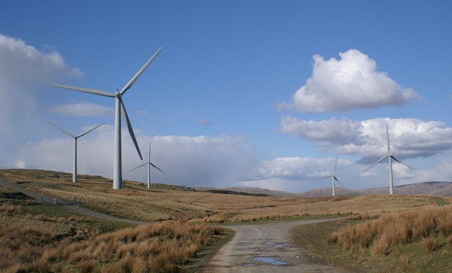
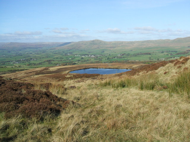
The landscape of Owshaw Moss is dominated by peat bogs, heather, and grasses, creating a distinctive and picturesque scenery. It is surrounded by rolling hills and occasional rocky outcrops, adding to its unique charm. The moss is also crossed by several small streams and rivulets, which further enhance the natural beauty of the area.
The moorland is home to a wide range of flora and fauna. Visitors can expect to see a variety of bird species such as curlews, lapwings, and meadow pipits, which make their nests in the heather and grasslands. Additionally, the moss provides a habitat for various species of insects, including dragonflies and butterflies.
Owshaw Moss is a popular destination for nature enthusiasts and hikers due to its tranquil atmosphere and stunning surroundings. It offers numerous walking trails and paths, allowing visitors to explore and appreciate the beauty of the moorland. The moss is also recognized for its historical significance, with remnants of ancient settlements and burial sites scattered throughout the area.
Overall, Owshaw Moss is a remarkable natural landscape that showcases the beauty and diversity of Westmorland county. Its moorland, bogs, and wildlife attract both locals and tourists alike, providing a peaceful retreat amidst the idyllic English countryside.
If you have any feedback on the listing, please let us know in the comments section below.
Owshaw Moss Images
Images are sourced within 2km of 54.329882/-2.6062698 or Grid Reference SD6092. Thanks to Geograph Open Source API. All images are credited.


Owshaw Moss is located at Grid Ref: SD6092 (Lat: 54.329882, Lng: -2.6062698)
Administrative County: Cumbria
District: South Lakeland
Police Authority: Cumbria
What 3 Words
///primed.renovated.maker. Near Sedbergh, Cumbria
Nearby Locations
Related Wikis

Firbank Fell
Firbank Fell is a hill in Cumbria between the towns of Kendal and Sedbergh that is renowned as a place where George Fox, the founder of the Religious Society...

Beck Foot
Beck Foot is a hamlet in Cumbria, England, situated on the B6257 road south of Lowgill, the West Coast Main Line and M6 motorway. The disused Lowgill Viaduct...

Firbank
Firbank is a village and civil parish in the South Lakeland district of the English county of Cumbria. It has a population of 97. As Firbank had a population...
Lambrigg Fell
Lambrigg Fell is a hill, the highest point of the area of high ground between Kendal and the M6, in south-eastern Cumbria, England.It lies just outside...

Killington Lake Services
Killington Lake Services is a motorway service station on the M6 motorway between Junctions 37 and 36 near Killington Lake in Cumbria, England. It was...

St Gregory's Church, Vale of Lune
St Gregory's Church, Vale of Lune, also known as the Vale of Lune Chapel, is a redundant Anglican church situated on the A684 road about 1.5 miles (2 km...
Lambrigg
Lambrigg is a civil parish in the South Lakeland district of the English county of Cumbria. It includes the hamlets of Cross Houses and Lambrigg Head...
Beck Houses
Beck Houses is a village in Cumbria, England.
Nearby Amenities
Located within 500m of 54.329882,-2.6062698Have you been to Owshaw Moss?
Leave your review of Owshaw Moss below (or comments, questions and feedback).