Black Hill

Hill, Mountain in Westmorland South Lakeland

England

Black Hill

Old Scotch Road
Old Scotch Road Credit: Steven Brown

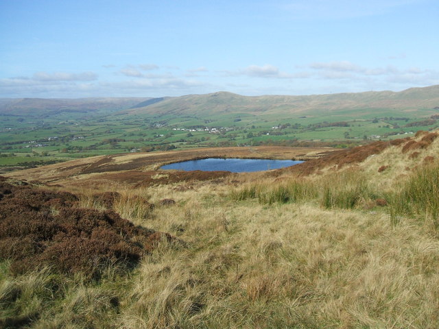
Black Hill is a prominent hill located in the county of Westmorland, in the northwestern region of England. Standing at an elevation of approximately 609 meters (1,998 feet), it is classified as a hill rather than a mountain. It is situated within the picturesque Lake District National Park, a UNESCO World Heritage Site renowned for its stunning landscapes and natural beauty.

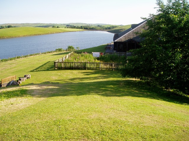
The hill is easily recognizable due to its distinct shape and dark appearance, which is attributed to the presence of dark-colored rocks and vegetation covering its slopes. It offers breathtaking panoramic views of the surrounding countryside, including rolling hills, lush green valleys, and nearby bodies of water such as lakes and rivers.

Black Hill is a popular destination for outdoor enthusiasts and nature lovers, attracting hikers, walkers, and photographers alike. Several well-marked trails and footpaths lead up to the summit, allowing visitors to enjoy a challenging yet rewarding ascent. The hill is known for its varied terrain, featuring rocky outcrops, grassy slopes, and occasional patches of woodland.

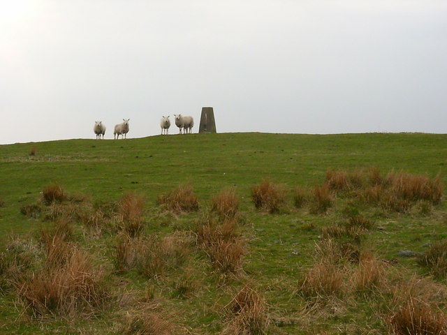
Wildlife is abundant in the area, with the hill providing a habitat for various species of birds, mammals, and plants. It is not uncommon to spot sheep grazing on the hillside or catch a glimpse of a red squirrel darting through the trees.

Overall, Black Hill is a striking natural landmark within Westmorland, offering visitors an opportunity to immerse themselves in the beauty of the Lake District and experience its rugged charm firsthand.

If you have any feedback on the listing, please let us know in the comments section below.

Black Hill Images

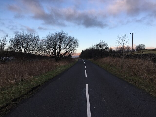
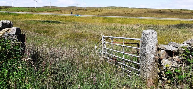
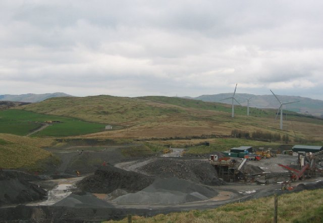
Images are sourced within 2km of 54.324527/-2.6130484 or Grid Reference SD6092. Thanks to Geograph Open Source API. All images are credited.

Old Scotch Road
Old Scotch Road
The Lane to Ghyll Farm
Old Scotch Road
Old Scotch Road
Benchmark on gatepost on west side of minor road, west of Firbank Fell Ordnance Survey cut mark benchmark levelled at 232.836m above Newlyn Datum verified 1970
Benchmark on gatepost on west side of minor road, west of Firbank Fell
Ordnance Survey cut mark benchmark levelled at 232.836m above Newlyn Datum verified 1970
Field gateway on west side of road on west side of Firbank Fell There is an Ordnance Survey benchmark <a href="https://www.geograph.org.uk/photo/7228091">SD6093 : Benchmark on gatepost on west side of minor road, west of Firbank Fell</a> at the base of the stone gatepost. The M6 is in the background
Field gateway on west side of road on west side of Firbank Fell
There is an Ordnance Survey benchmark SD6093 : Benchmark on gatepost on west side of minor road, west of Firbank Fell at the base of the stone gatepost. The M6 is in the background
Benchmark on stone in wall on west side of road near Moorcock Hall Ordnance Survey cut mark benchmark levelled at 236.741m above Newlyn Datum verified 1960
Benchmark on stone in wall on west side of road near Moorcock Hall
Ordnance Survey cut mark benchmark levelled at 236.741m above Newlyn Datum verified 1960
Dry stone wall on west side of minor road near Moorcock Hall There is an Ordnance Survey benchmark <a href="https://www.geograph.org.uk/photo/7228397">SD6094 : Benchmark on stone in wall on west side of road near Moorcock Hall</a> on a stone at the base of the wall in the middle foreground.
Dry stone wall on west side of minor road near Moorcock Hall
There is an Ordnance Survey benchmark SD6094 : Benchmark on stone in wall on west side of road near Moorcock Hall on a stone at the base of the wall in the middle foreground.
Quarry and powerstation, Lambrigg Fell The big quarries are not shown on the OS map. They are handily placed for the M6. Lambrigg wind farm to the north is a well known landmark on the M6.
Quarry and powerstation, Lambrigg Fell
The big quarries are not shown on the OS map. They are handily placed for the M6. Lambrigg wind farm to the north is a well known landmark on the M6.
Lambrigg Wind Farm, Cumbria. As seen from the M6.
Lambrigg Wind Farm, Cumbria.
As seen from the M6.
Killington services and reservoir Probably the motorway service station with the best view in Britain. The building on the right is the restaurant.
Killington services and reservoir
Probably the motorway service station with the best view in Britain. The building on the right is the restaurant.
M6 Junction 37 Love them or hate them wind turbines are here to stay.
M6 Junction 37
Love them or hate them wind turbines are here to stay.
Killington Reservoir The reservoir was completed in 1819, although it has been enlarged several times since then, and now covers 153 acres. The photograph shows that it is not full.
Killington Reservoir
The reservoir was completed in 1819, although it has been enlarged several times since then, and now covers 153 acres. The photograph shows that it is not full.
Killington Reservoir Dam Killington Reservoir was constructed in 1819 as the feeder reservoir for the Lancaster Canal
Killington Reservoir Dam
Killington Reservoir was constructed in 1819 as the feeder reservoir for the Lancaster Canal
Looking towards Killington Lake From just east of the M6
Looking towards Killington Lake
From just east of the M6
Millrigg Moor trig
Millrigg Moor trig
Killington Lake January sunset over Killington Lake.
Killington Lake
January sunset over Killington Lake.
Killington Reservoir Warm summer evening at Killington Reservoir. The photograph was taken from the eastern side of the lake, with the motorway services not in view from where the photo had been taken.
Killington Reservoir
Warm summer evening at Killington Reservoir. The photograph was taken from the eastern side of the lake, with the motorway services not in view from where the photo had been taken.
Wind Farm Looking directly North into the wind farm
Wind Farm
Looking directly North into the wind farm
Show me another place!

Black Hill is located at Grid Ref: SD6092 (Lat: 54.324527, Lng: -2.6130484)

Administrative County: Cumbria

District: South Lakeland

Police Authority: Cumbria

What 3 Words

///spell.sweetly.variously. Near Sedbergh, Cumbria

Related Wikis

Firbank Fell

Firbank Fell is a hill in Cumbria between the towns of Kendal and Sedbergh that is renowned as a place where George Fox, the founder of the Religious Society...

Killington Lake Services

Killington Lake Services is a motorway service station on the M6 motorway between Junctions 37 and 36 near Killington Lake in Cumbria, England. It was...

Lambrigg Fell

Lambrigg Fell is a hill, the highest point of the area of high ground between Kendal and the M6, in south-eastern Cumbria, England.It lies just outside...

Beck Foot

Beck Foot is a hamlet in Cumbria, England, situated on the B6257 road south of Lowgill, the West Coast Main Line and M6 motorway. The disused Lowgill Viaduct...

Firbank

Firbank is a village and civil parish in the South Lakeland district of the English county of Cumbria. It has a population of 97. As Firbank had a population...

St Gregory's Church, Vale of Lune

St Gregory's Church, Vale of Lune, also known as the Vale of Lune Chapel, is a redundant Anglican church situated on the A684 road about 1.5 miles (2 km...

Lambrigg

Lambrigg is a civil parish in the South Lakeland district of the English county of Cumbria. It includes the hamlets of Cross Houses and Lambrigg Head...

Beck Houses

Beck Houses is a village in Cumbria, England.

Nearby Amenities

Located within 500m of 54.324527,-2.6130484
Parking
Access: yes
Fee: no
Parking: lane
Source: survey
Lat/Long: 54.3247178/-2.6159194
Give Way
Direction: forward
Lat/Long: 54.3249608/-2.617028
Give Way
Direction: forward
Lat/Long: 54.3244043/-2.6155527
Give Way
Direction: backward
Lat/Long: 54.3247843/-2.6164348
Man Made: tower
Tower Type: communication
Lat/Long: 54.3223883/-2.6191905
The data included in this document is from www.openstreetmap.org. The data is made available under ODbL.

Have you been to Black Hill?

Leave your review of Black Hill below (or comments, questions and feedback).