How Moor
Downs, Moorland in Cumberland Eden
England
How Moor
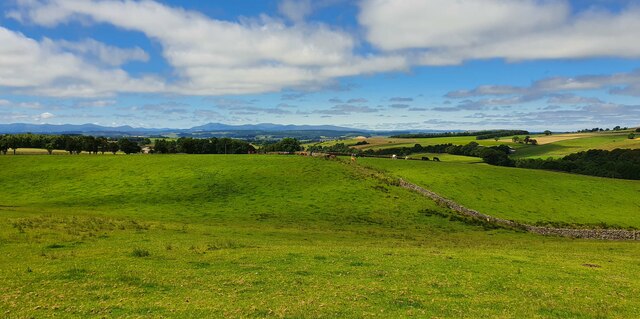
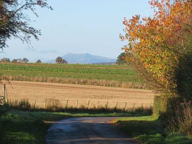
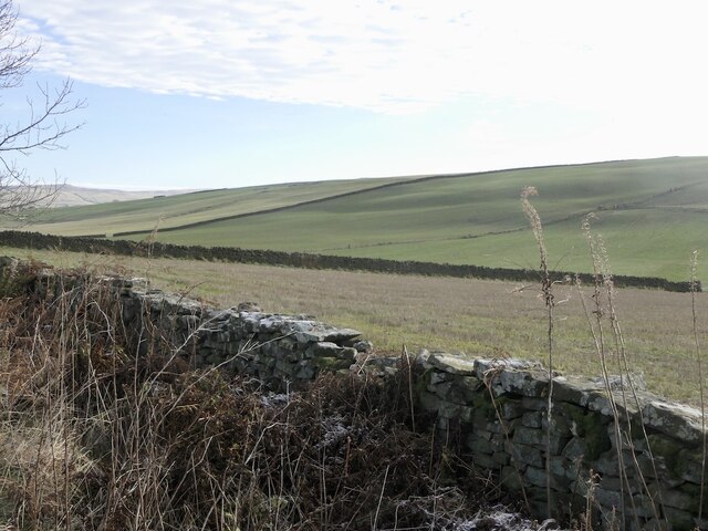
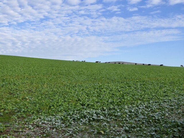
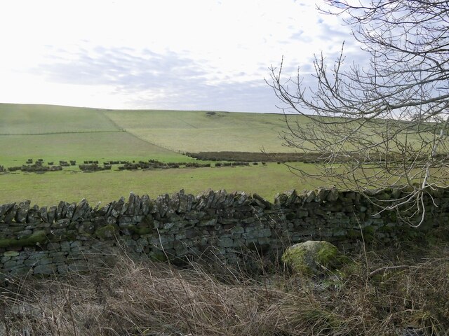
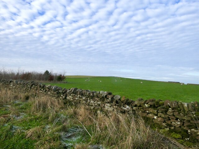
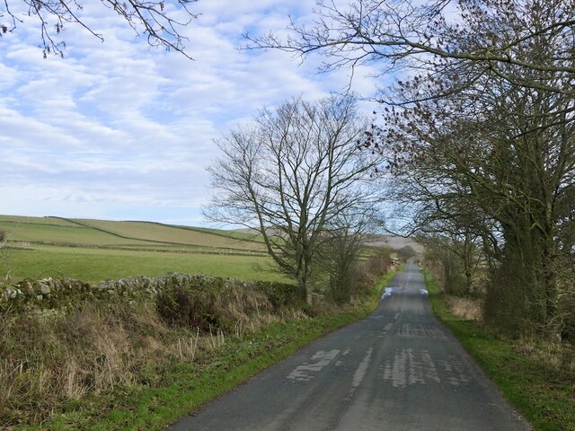
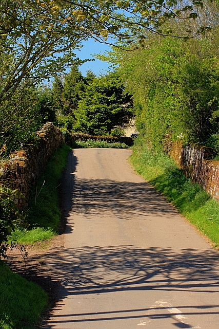
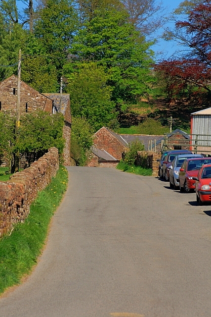
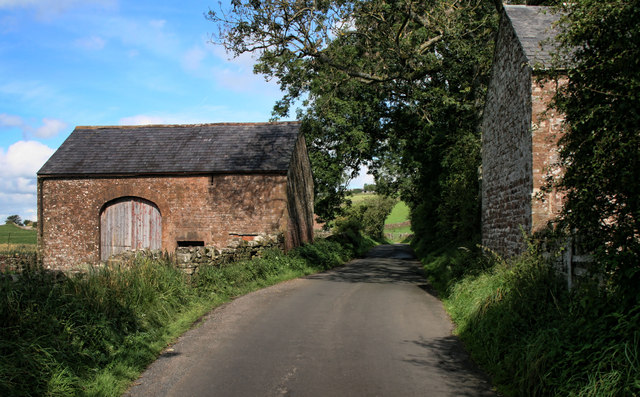
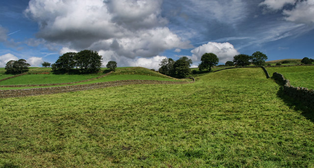
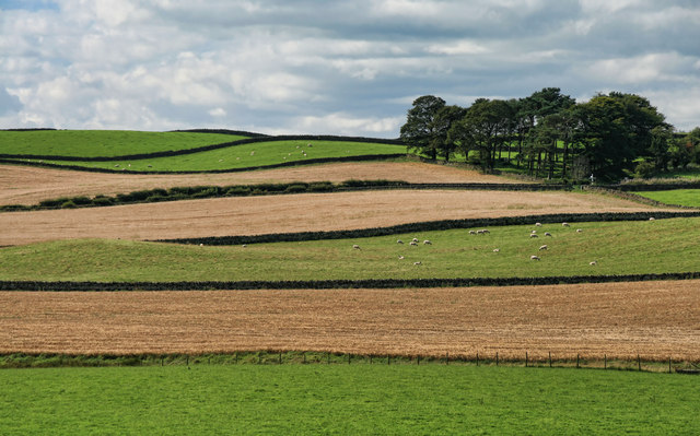
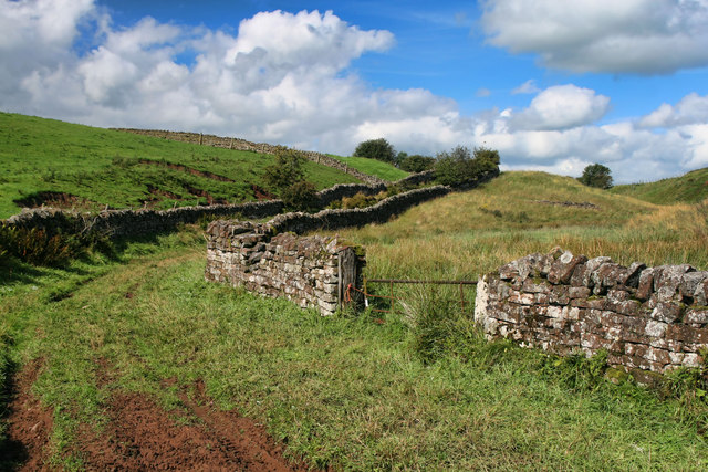
Moor, Cumberland, also known as Downs or Moorland, is a vast expanse of open land located in the county of Cumberland, England. Stretching over several miles, it is characterized by its flat terrain, sparse vegetation, and extensive peat bogs. The area is renowned for its unique and captivating landscape, attracting visitors from near and far.
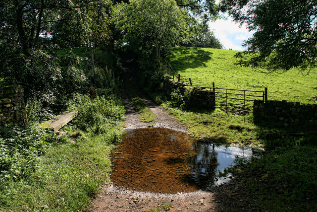
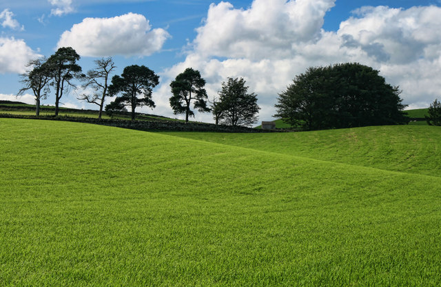
The Moor, Cumberland, is situated in a remote and untouched part of the county, offering a sense of tranquility and solitude to those who venture there. The absence of trees and abundance of low-lying shrubs and grasses create an otherworldly atmosphere, making it a popular destination for nature lovers and hikers seeking an escape from urban life.
The moorland is home to a diverse range of flora and fauna, with several rare and protected species found within its boundaries. Visitors may encounter birds such as curlews, lapwings, and merlins, as well as various types of insects and reptiles. The vast peat bogs provide a unique habitat for a variety of mosses and bog plants, adding to the area's ecological significance.
Historically, the Moor, Cumberland, has played a role in the local economy, particularly through sheep farming and peat extraction. However, in recent years, the focus has shifted towards conservation efforts to preserve the natural beauty and ecological balance of the area.
Overall, Moor, Cumberland (Downs, Moorland) offers a captivating and serene experience for those who appreciate the raw beauty of untamed landscapes. With its vast expanses, unique wildlife, and rich history, it remains a cherished destination for nature enthusiasts and those seeking a connection with the natural world.
If you have any feedback on the listing, please let us know in the comments section below.
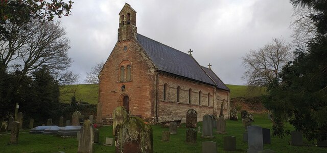
How Moor Images
Images are sourced within 2km of 54.778299/-2.6458417 or Grid Reference NY5842. Thanks to Geograph Open Source API. All images are credited.
How Moor is located at Grid Ref: NY5842 (Lat: 54.778299, Lng: -2.6458417)
Administrative County: Cumbria
District: Eden
Police Authority: Cumbria
What 3 Words
///events.observes.ideals. Near Alston, Cumbria
Related Wikis

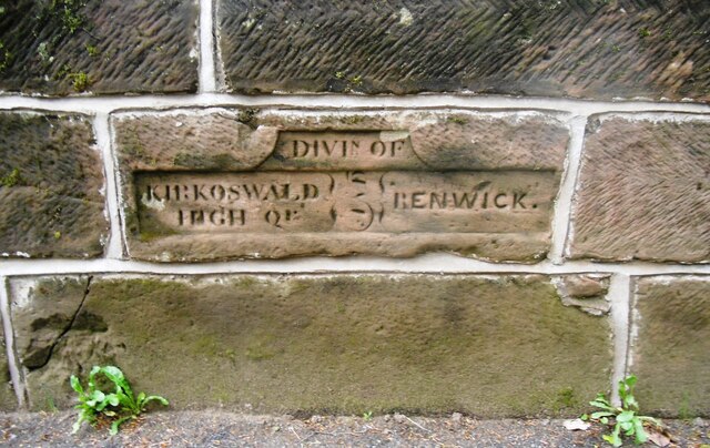
Renwick, Cumbria
Renwick, formerly known as Ravenwick, is a small village and former civil parish, now in the parish of Kirkoswald, in the Eden district, in the county...

Busk, Cumbria
Busk is a hamlet in Cumbria, England. It is located 3.7 miles (6.0 km) by road to the east of Kirkoswald. == See also == List of places in Cumbria ��2...

Kirkoswald Castle
Kirkoswald Castle is located to the southeast of the village of Kirkoswald, Cumbria, England. It is built from Penrith red sandstone and is still partially...

Unthank, Glassonby
Unthank is a village near Gamblesby in the civil parish of Glassonby in Cumbria, England. It is first mentioned in writing as Unthanke in 1332. == See... ==
Have you been to How Moor?
Leave your review of How Moor below (or comments, questions and feedback).