Sitsundry Moor
Downs, Moorland in Angus
Scotland
Sitsundry Moor

Sitsundry Moor, located in Angus, Scotland, is a picturesque and expansive area of downs and moorland. Spanning approximately 3,000 acres, it is a haven for nature enthusiasts and outdoor adventurers alike. The moorland is situated just a few miles north of Dundee and offers breathtaking views of the surrounding countryside.
The landscape of Sitsundry Moor is characterized by rolling hills, heather-covered moors, and scattered clusters of trees. The terrain is relatively flat, making it ideal for leisurely walks and hikes. Visitors can explore the numerous trails that crisscross the moor, immersing themselves in the serene beauty of the Scottish countryside.
The flora and fauna of Sitsundry Moor are diverse and abundant. The moorland is home to a variety of bird species, including curlews, lapwings, and larks, making it a popular spot for birdwatching. The heather-covered hillsides provide a vibrant display of purple hues during the summer months.
In addition to its natural beauty, Sitsundry Moor also holds historical significance. The remains of ancient settlements and burial sites have been discovered in the area, offering a glimpse into the region's past. These archaeological findings add an extra layer of intrigue for history enthusiasts.
Overall, Sitsundry Moor is a tranquil and captivating destination that showcases the raw beauty of the Scottish landscape. Whether visitors are seeking a peaceful retreat, a chance to immerse themselves in nature, or an opportunity to explore the region's history, this scenic moorland in Angus offers something for everyone.
If you have any feedback on the listing, please let us know in the comments section below.
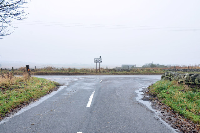
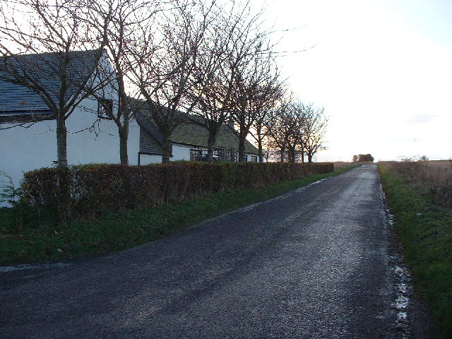
Sitsundry Moor Images
Images are sourced within 2km of 56.572532/-2.6763193 or Grid Reference NO5842. Thanks to Geograph Open Source API. All images are credited.


Sitsundry Moor is located at Grid Ref: NO5842 (Lat: 56.572532, Lng: -2.6763193)
Unitary Authority: Angus
Police Authority: Tayside
What 3 Words
///geese.baroness.loft. Near Arbroath, Angus
Nearby Locations
Related Wikis

Denhead railway station
Denhead railway station served the area of Denhead, Angus, Scotland from 1900 to 1929 on the Carmyllie Railway. == History == The station opened on 1 February...

Cuthlie railway station
Cuthlie railway station served the area near Cuthlie Farm in Cuthlie, Angus, Scotland from 1900 to 1965 on the Carmyllie Railway. == History == The station...

Arbirlot
Arbirlot (Gaelic: Obar Eilid) is a village in a rural parish of the same name in Angus, Scotland. The current name is usually presumed to be a contraction...

Carmyllie railway station
Carmyllie railway station served the town of Carmyllie, Angus, Scotland from 1900 to 1965 on the Carmyllie Railway. == History == The station opened on...
Nearby Amenities
Located within 500m of 56.572532,-2.6763193Have you been to Sitsundry Moor?
Leave your review of Sitsundry Moor below (or comments, questions and feedback).