Park Head
Settlement in Cumberland Eden
England
Park Head
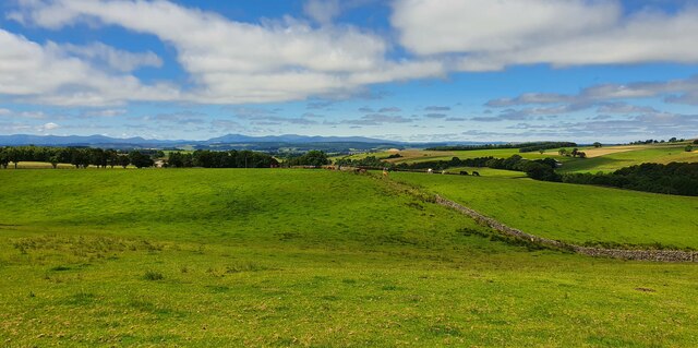
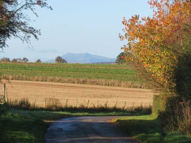
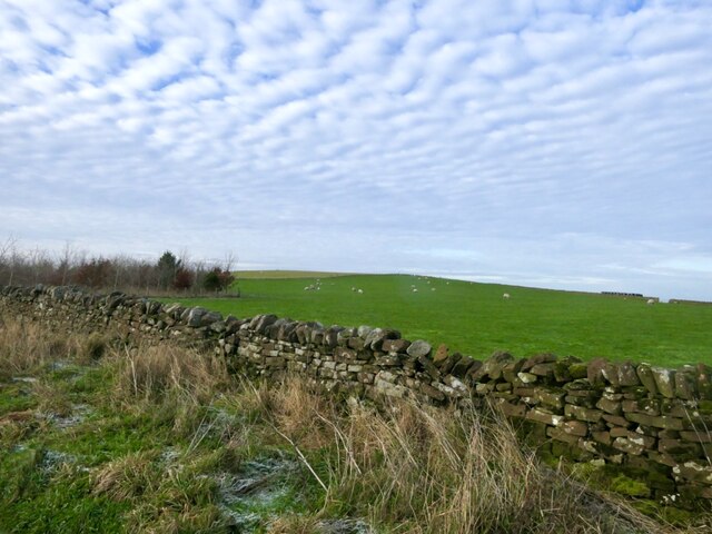
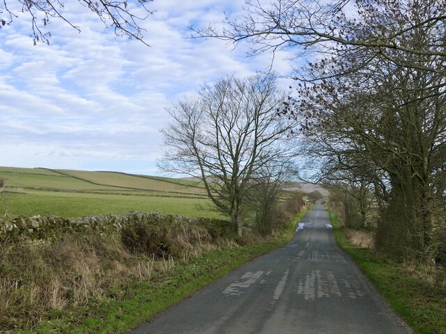
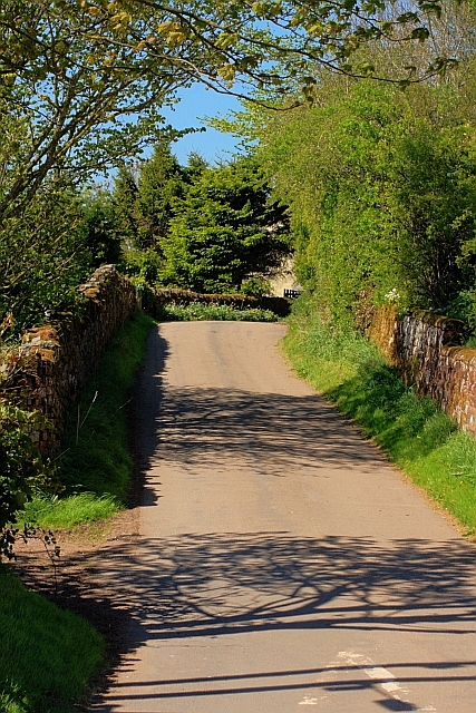
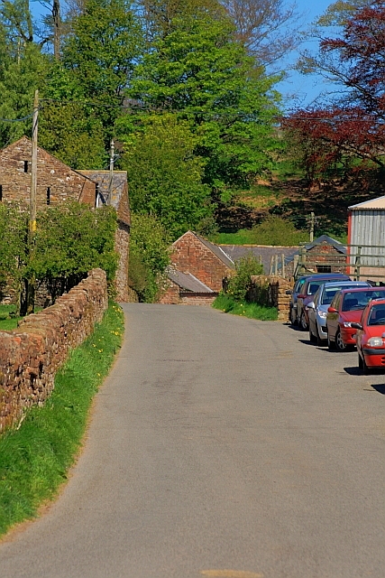
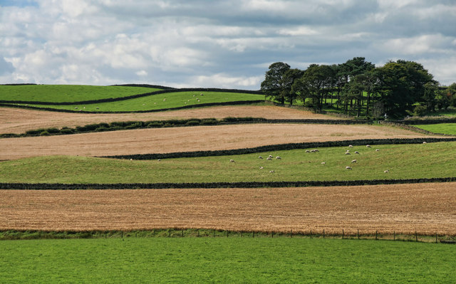
Park Head is a small village located in the county of Cumberland, nestled in the picturesque countryside of northwest England. Situated near the edge of the Lake District National Park, it offers breathtaking views of rolling hills, lush green landscapes, and serene meadows. The village is part of the larger civil parish of Bewcastle.
With a population of around 100 residents, Park Head is a close-knit community known for its friendly atmosphere and strong community spirit. The village is predominantly residential, with a scattering of traditional stone cottages and houses that add to its charm and character. The residents primarily work in agriculture and farming, reflecting the area's rural nature.
Despite its small size, Park Head boasts a number of amenities that serve both residents and visitors. These include a local pub, a village hall, and a small primary school, which is the heart of the community. The surrounding area offers a range of outdoor activities, such as hiking, cycling, and fishing, making it a popular destination for nature enthusiasts.
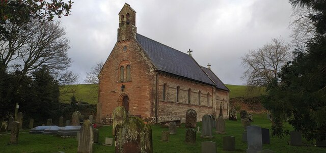
The village's proximity to the historic Bewcastle Church, an Anglo-Saxon church dating back to the 7th century, adds to its cultural significance. This ancient structure is renowned for its intricately carved Bewcastle Cross, one of the finest examples of Anglo-Saxon crosses in England.
In conclusion, Park Head is a charming and idyllic village in Cumberland, offering a peaceful and scenic retreat for those seeking a rural escape. With its strong community spirit and beautiful surroundings, it continues to attract both residents and visitors alike.
If you have any feedback on the listing, please let us know in the comments section below.
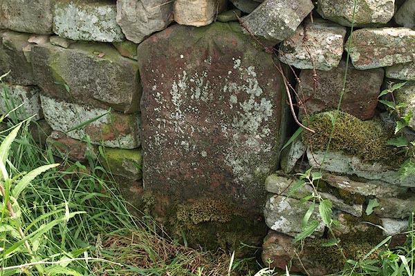
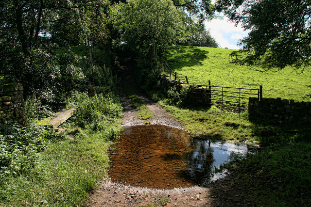
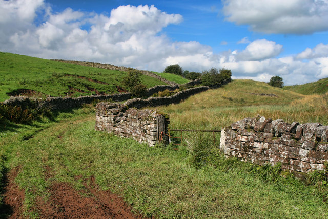
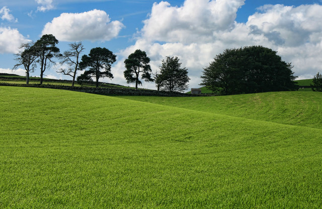
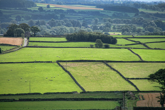
Park Head Images
Images are sourced within 2km of 54.772563/-2.6395324 or Grid Reference NY5842. Thanks to Geograph Open Source API. All images are credited.


Park Head is located at Grid Ref: NY5842 (Lat: 54.772563, Lng: -2.6395324)
Administrative County: Cumbria
District: Eden
Police Authority: Cumbria
What 3 Words
///spouting.influence.knowledge. Near Alston, Cumbria
Related Wikis

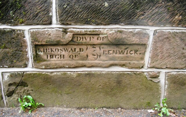
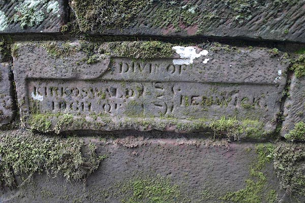
Renwick, Cumbria
Renwick, formerly known as Ravenwick, is a small village and former civil parish, now in the parish of Kirkoswald, in the Eden district, in the county...

Busk, Cumbria
Busk is a hamlet in Cumbria, England. It is located 3.7 miles (6.0 km) by road to the east of Kirkoswald. == See also == List of places in Cumbria ��2...

Unthank, Glassonby
Unthank is a village near Gamblesby in the civil parish of Glassonby in Cumbria, England. It is first mentioned in writing as Unthanke in 1332. == See... ==

Kirkoswald Castle
Kirkoswald Castle is located to the southeast of the village of Kirkoswald, Cumbria, England. It is built from Penrith red sandstone and is still partially...
Nearby Amenities
Located within 500m of 54.772563,-2.6395324Have you been to Park Head?
Leave your review of Park Head below (or comments, questions and feedback).