Hammond Street

Settlement in Hertfordshire Broxbourne

England

Hammond Street

Modern house on Brookfield Road West, Flamstead End This style was popular in the 70s, I had a flat like it once. <a title="https://www.geograph.org.uk/photo/4839443" href="https://www.geograph.org.uk/photo/4839443">Link</a>
Modern house on Brookfield Road West, Flamstead End Credit: David Howard

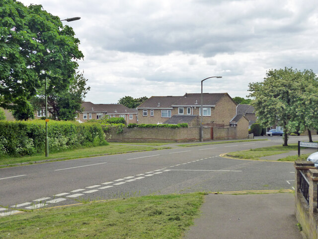
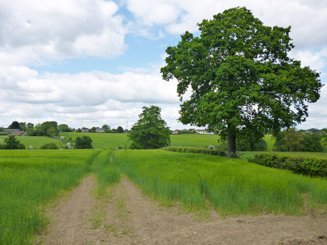
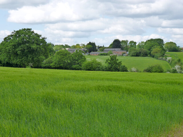
Hammond Street is a small village located in Hertfordshire, England. Situated approximately 30 miles north of London, it falls within the local government district of East Hertfordshire. The village is nestled amidst picturesque countryside, offering residents a peaceful and idyllic setting.

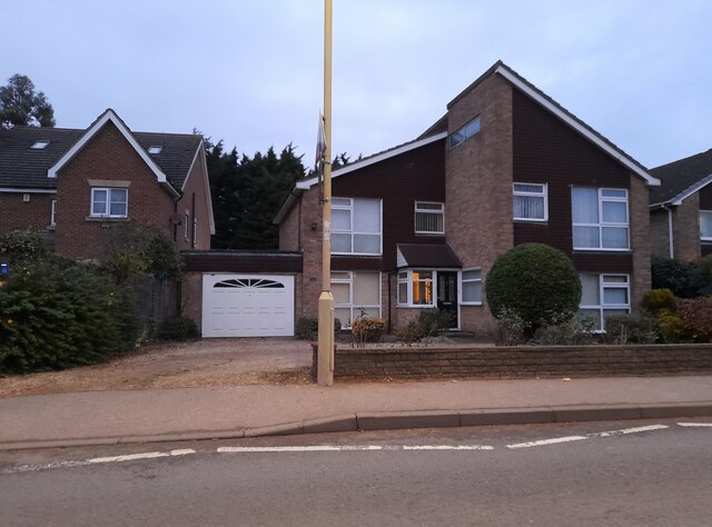
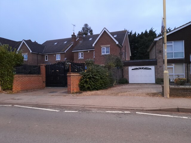
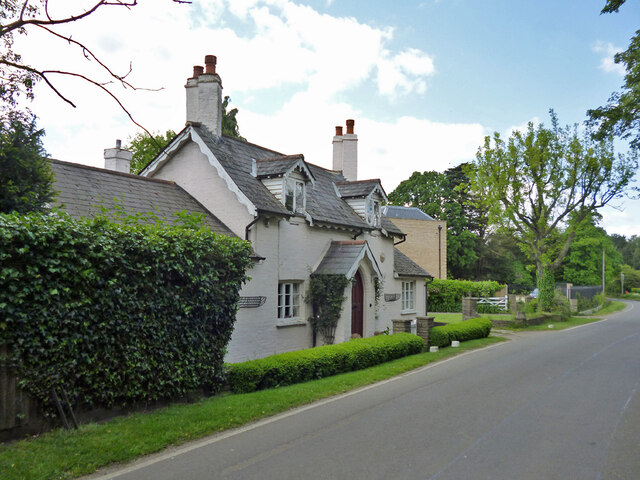
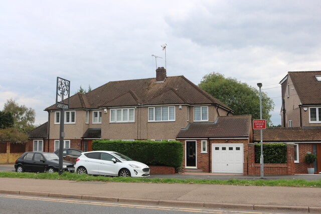
Hammond Street is characterized by its charming and traditional architecture, with many of the houses dating back to the 18th and 19th centuries. The village retains much of its historic charm, with narrow lanes and quaint cottages lining the streets. The village green serves as a focal point, providing a space for community events and gatherings.

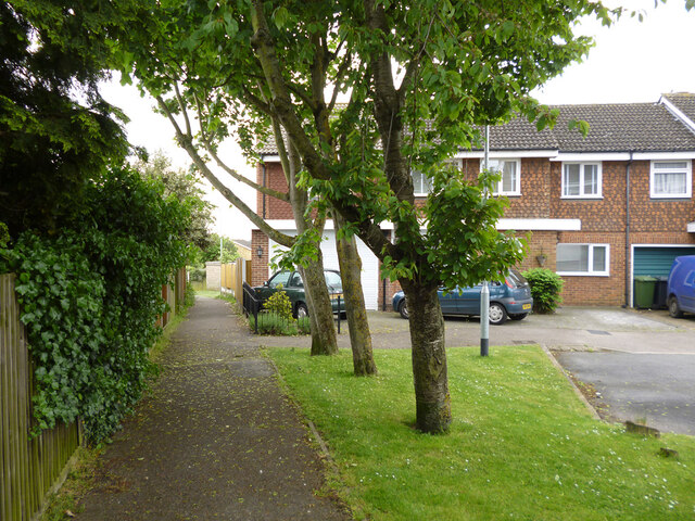
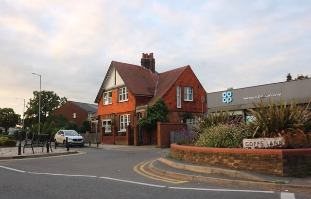
While Hammond Street is primarily a residential area, it benefits from the close proximity to neighboring towns such as Hertford and Ware, which offer a range of amenities. These amenities include shops, supermarkets, schools, and leisure facilities, ensuring that residents have access to everything they need within a short distance.

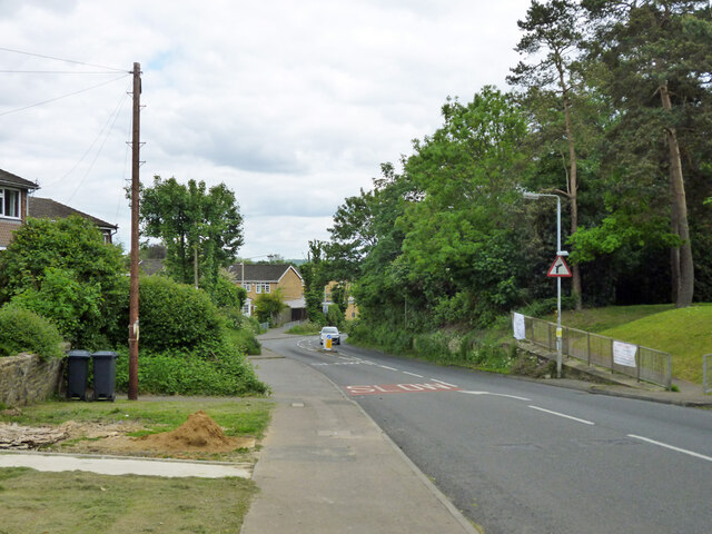
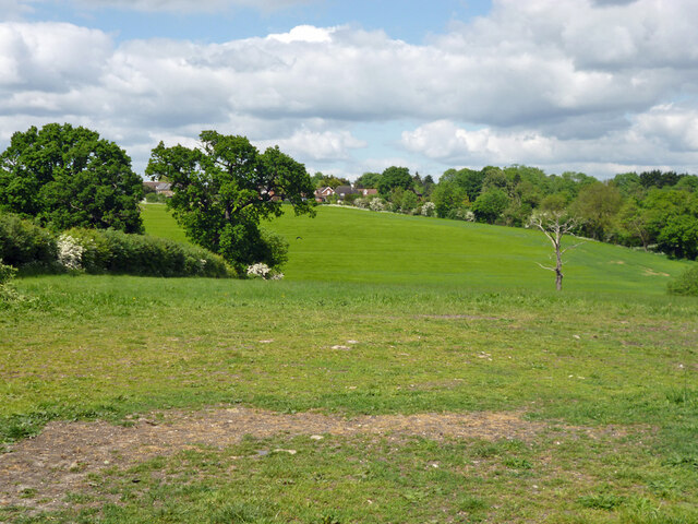
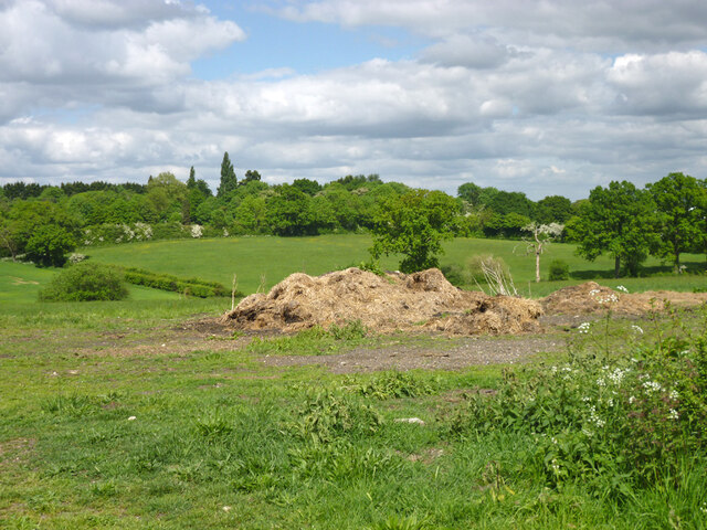
The village is also surrounded by beautiful countryside, making it an ideal location for nature lovers and outdoor enthusiasts. Numerous footpaths and bridleways crisscross the nearby fields and woodlands, providing ample opportunities for walking, cycling, and horse riding.

Transport links in Hammond Street are well-connected, with regular bus services and a nearby railway station in Hertford. This allows for easy access to London and other major cities in the region.

Overall, Hammond Street offers a tranquil and picturesque place to live, combining the charm of a traditional English village with the convenience of nearby amenities and excellent transport links.

If you have any feedback on the listing, please let us know in the comments section below.

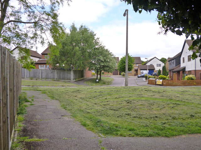
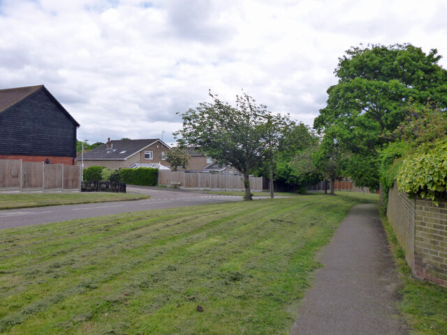
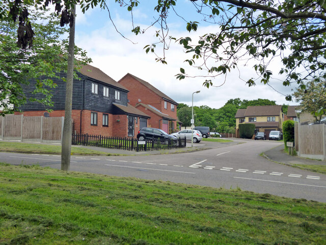
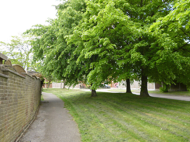
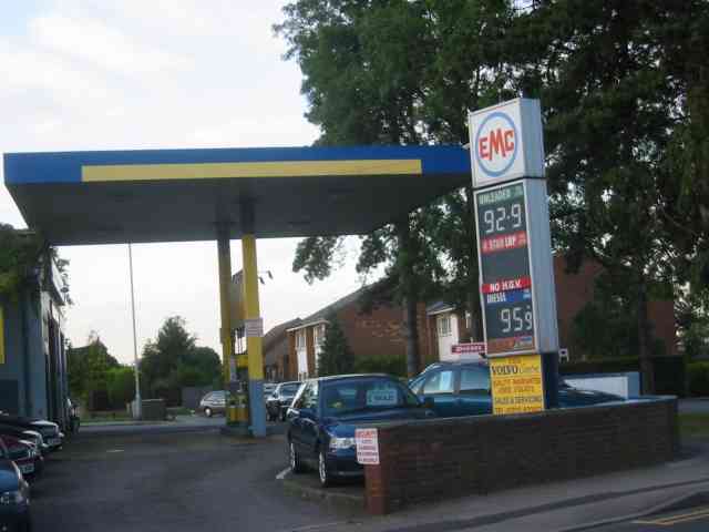
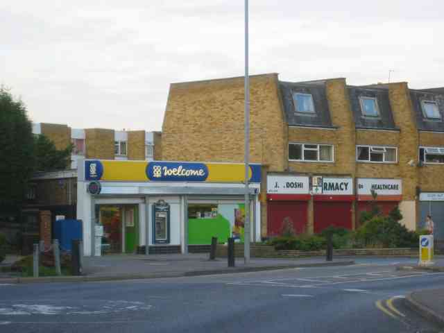
Hammond Street Images

Images are sourced within 2km of 51.718429/-0.073885 or Grid Reference TL3303. Thanks to Geograph Open Source API. All images are credited.

Modern house on Brookfield Road West, Flamstead End This style was popular in the 70s, I had a flat like it once. <a title="https://www.geograph.org.uk/photo/4839443" href="https://www.geograph.org.uk/photo/4839443">Link</a>
Modern house on Brookfield Road West, Flamstead End
This style was popular in the 70s, I had a flat like it once. Link
Houses on Brookfield Road West, Flamstead End
Dig Dag Hill, Cheshunt
Path from Adamsfield to Longfield Lane, Cheshunt Passing the end of one of the several branches of Smarts Green.
Path from Adamsfield to Longfield Lane, Cheshunt
Passing the end of one of the several branches of Smarts Green.
Looking across Adamsfield to Springwood, Cheshunt
Adamsfield, Cheshunt A distributor road in this housing development, with all houses on side roads.
Adamsfield, Cheshunt
A distributor road in this housing development, with all houses on side roads.
Bencroft, Cheshunt A turning off Adamsfield.
Bencroft, Cheshunt
A turning off Adamsfield.
Path along Adamsfield, Cheshunt Adamsfield is a distributor road in this housing development, with all houses on side roads.
Path along Adamsfield, Cheshunt
Adamsfield is a distributor road in this housing development, with all houses on side roads.
Adamsfield, Cheshunt A distributor road in this housing development, with all houses on side roads.
Adamsfield, Cheshunt
A distributor road in this housing development, with all houses on side roads.
Rose Cottage on Halstead Hill Nicely presented down below, but the dormer woodwork, particularly of the window frames, is in a poor state in this 2016 view. An early to mid 19th century grade II listed building.
Rose Cottage on Halstead Hill
Nicely presented down below, but the dormer woodwork, particularly of the window frames, is in a poor state in this 2016 view. An early to mid 19th century grade II listed building.
View over valley of Theobalds Brook Looking from Silver Street towards houses on Goffs Lane.
View over valley of Theobalds Brook
Looking from Silver Street towards houses on Goffs Lane.
Manure heap behind Silver Street hedge Every silver lining has a cloud.
Manure heap behind Silver Street hedge
Every silver lining has a cloud.
View north from Silver Street
View from Silver Street towards premises off Goffs Lane, 2016 Not a farm, some sort of commercial estate. The area, more or less, is now subject to residential redevelopment plans.
View from Silver Street towards premises off Goffs Lane, 2016
Not a farm, some sort of commercial estate. The area, more or less, is now subject to residential redevelopment plans.
Goff's Lane, Goff's Oak
Goffs Oak Co-op
Goffs Oak Co-op
Garage at junction in Goff's Oak It will be interesting to see how the cost of petrol rises over the years to come.
Garage at junction in Goff's Oak
It will be interesting to see how the cost of petrol rises over the years to come.
Shopping Parade in Goff's Oak These buildings are fairly new but already one can see the discolouration of brickwork at parapet level. Interesting to compare with shops in Chingford
Shopping Parade in Goff's Oak
These buildings are fairly new but already one can see the discolouration of brickwork at parapet level. Interesting to compare with shops in Chingford
Show me another place!

Hammond Street is located at Grid Ref: TL3303 (Lat: 51.718429, Lng: -0.073885)

Administrative County: Hertfordshire

District: Broxbourne

Police Authority: Hertfordshire

What 3 Words

///descended.give.crust. Near Cuffley, Hertfordshire

Nearby Locations

Hammond Street

Related Wikis

Goffs Oak

Goffs Oak (Goff's Oak on Ordnance Survey maps) is a large village in the borough of Broxbourne in Hertfordshire in the United Kingdom. It lies between...

Broxbourne (UK Parliament constituency)

Broxbourne is a constituency in Hertfordshire represented in the House of Commons of the UK Parliament since 2005 by Charles Walker of the Conservative...

F.C. Broxbourne Borough

Football Club Broxbourne Borough was a football club based in Broxbourne, Hertfordshire, England. They played at Goffs Lane in Cheshunt. == History... ==

Goffs Academy

Goffs Academy is a selective secondary school and sixth form with academy status located in Cheshunt, Hertfordshire, England with around 1,300 students...
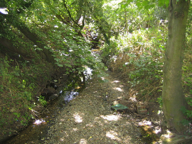
Rags Brook

Rags Brook is a tributary of the Small River Lea, which is a tributary of the River Lea. Rags Brook rises in the hills between Goffs Oak Cuffley in Hertfordshire...

Cheshunt Park

Cheshunt Park is a 40 hectare public park and Local Nature Reserve in Cheshunt in Hertfordshire. It is owned and managed by Broxbourne Borough Council...

Bishops' College, Cheshunt

Bishops' College, Cheshunt was an Anglican theological College set up to train clergy to serve in the Church of England. It was housed in buildings formerly...

Cuffley railway station

Cuffley railway station serves the village of Cuffley in the Welwyn Hatfield district of Hertfordshire. It also serves other nearby settlements, namely...

Nearby Amenities

Located within 500m of 51.718429,-0.073885
Bus Stop
Hammond Close
Bus: yes
Naptan AtcoCode: 210021700640
Naptan Bearing: NW
Naptan CommonName: Hammond Close
Naptan Indicator: opp
Naptan Landmark: Unknown
Naptan NaptanCode: hrtamgjt
Naptan PlusbusZoneRef: CHESHNT
Naptan ShortCommonName: NA
Naptan Street: Hammondstreet Road
Naptan Verified: no
Public Transport: platform
Source: naptan_import
Lat/Long: 51.719461/-0.0683858
Bus Stop
Oaklands Road
Bus: yes
Naptan AtcoCode: 210021700660
Naptan Bearing: W
Naptan CommonName: Oaklands Road
Naptan Indicator: opp
Naptan Landmark: Unknown
Naptan NaptanCode: hrtamgjw
Naptan PlusbusZoneRef: CHESHNT
Naptan ShortCommonName: NA
Naptan Street: Hammondstreet Road
Naptan Verified: no
Public Transport: platform
Source: naptan_import
Lat/Long: 51.7200719/-0.0721821
Bus Stop
Macintosh Close
Bus: yes
Local Ref: NR
Naptan AtcoCode: 210021700680
Naptan Bearing: NW
Naptan CommonName: Macintosh Close
Naptan Indicator: nr
Naptan Landmark: Unknown
Naptan NaptanCode: hrtamgma
Naptan PlusbusZoneRef: CHESHNT
Naptan ShortCommonName: NA
Naptan Street: Hammondstreet Road
Naptan Verified: no
Public Transport: platform
Source: naptan_import
Lat/Long: 51.7212493/-0.0765335
Bus Stop
Macintosh Close
Bus: yes
Naptan AtcoCode: 210021702920
Naptan Bearing: SE
Naptan CommonName: Macintosh Close
Naptan Crossing: Maycroft Road
Naptan Indicator: opp
Naptan Landmark: Maycroft Road
Naptan NaptanCode: hrtamadj
Naptan PlusbusZoneRef: CHESHNT
Naptan ShortCommonName: NA
Naptan Street: Hammondstreet Road
Naptan Verified: no
Public Transport: platform
Source: naptan_import
Lat/Long: 51.7211315/-0.0759304
Bus Stop
Oaklands Road
Bus: yes
Local Ref: NR
Naptan AtcoCode: 210021702940
Naptan Bearing: E
Naptan CommonName: Oaklands Road
Naptan Indicator: nr
Naptan Landmark: Unknown
Naptan NaptanCode: hrtamadm
Naptan PlusbusZoneRef: CHESHNT
Naptan ShortCommonName: NA
Naptan Street: Hammondstreet Road
Naptan Verified: no
Public Transport: platform
Source: naptan_import
Lat/Long: 51.7200903/-0.0716601
Bus Stop
Hammond Close
Bus: yes
Local Ref: NR
Naptan AtcoCode: 210021702960
Naptan Bearing: SE
Naptan CommonName: Hammond Close
Naptan Indicator: nr
Naptan Landmark: Unknown
Naptan NaptanCode: hrtamadp
Naptan PlusbusZoneRef: CHESHNT
Naptan ShortCommonName: NA
Naptan Street: Hammondstreet Road
Naptan Verified: no
Public Transport: platform
Source: naptan_import
Lat/Long: 51.7194063/-0.0677946
Post Office
Hammond St Post Office
Addr Country: GB
Addr Postcode: EN7 6PA
Brand: Post Office
Brand Wikidata: Q1783168
Contact Website: https://www.postoffice.co.uk/branch-finder/1690051/hammond-st
Ref Pol Id: 19317
Lat/Long: 51.7206162/-0.073993
Barrier: yes
Lat/Long: 51.7168748/-0.0722471
The data included in this document is from www.openstreetmap.org. The data is made available under ODbL.

Have you been to Hammond Street?

Leave your review of Hammond Street below (or comments, questions and feedback).