Hammill
Settlement in Kent Dover
England
Hammill
Hammill is a small village located in the county of Kent, in southeastern England. It is situated about 8 miles south of the city of Canterbury and is part of the civil parish of Kingston. With a population of around 300 residents, Hammill is known for its peaceful and idyllic countryside setting.
The village is surrounded by beautiful rolling hills and green fields, making it a popular destination for nature lovers and outdoor enthusiasts. The landscape also features a number of small streams and ponds, adding to the village's charm. The nearby River Stour flows through the area, providing opportunities for recreational activities such as fishing and boating.
Hammill has a rich historical background, with evidence of human settlement in the area dating back to the Roman times. The village itself has a few historical buildings and landmarks, including a picturesque 12th-century church, which is a prominent feature of the village's skyline.
Although small, Hammill has a close-knit community that actively participates in various local events and initiatives. The village hosts an annual summer fair, attracting visitors from neighboring towns and villages. The fair showcases local crafts, food, and entertainment, providing a chance for residents to come together and celebrate their community spirit.
Overall, Hammill offers a tranquil countryside living experience, with its scenic beauty, historical significance, and strong community ties. It is a place where residents can enjoy a slower pace of life while being surrounded by the natural beauty of the Kentish landscape.
If you have any feedback on the listing, please let us know in the comments section below.
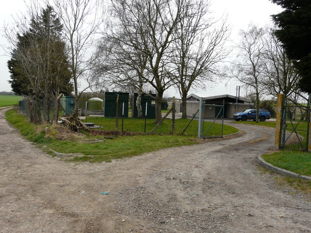
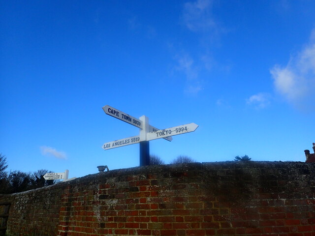
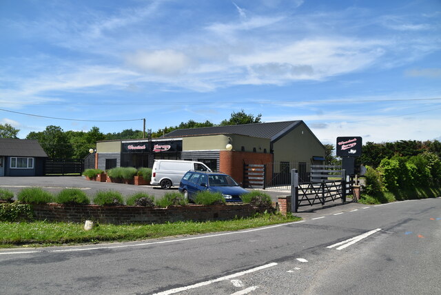
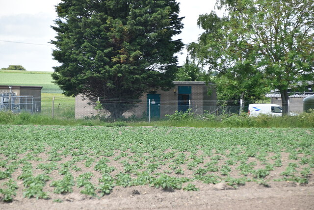
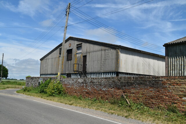
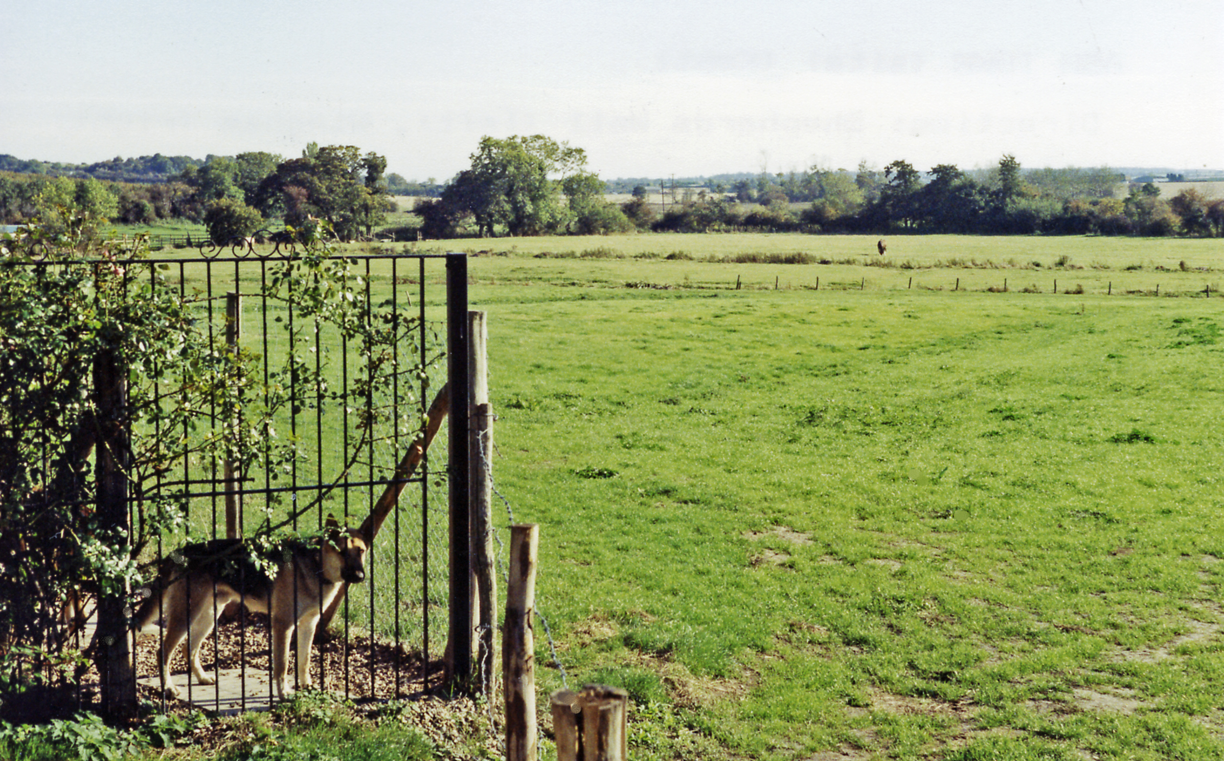
Hammill Images
Images are sourced within 2km of 51.27142/1.292281 or Grid Reference TR2957. Thanks to Geograph Open Source API. All images are credited.


Hammill is located at Grid Ref: TR2957 (Lat: 51.27142, Lng: 1.292281)
Administrative County: Kent
District: Dover
Police Authority: Kent
What 3 Words
///situated.respected.munched. Near Ash, Kent
Nearby Locations
Related Wikis
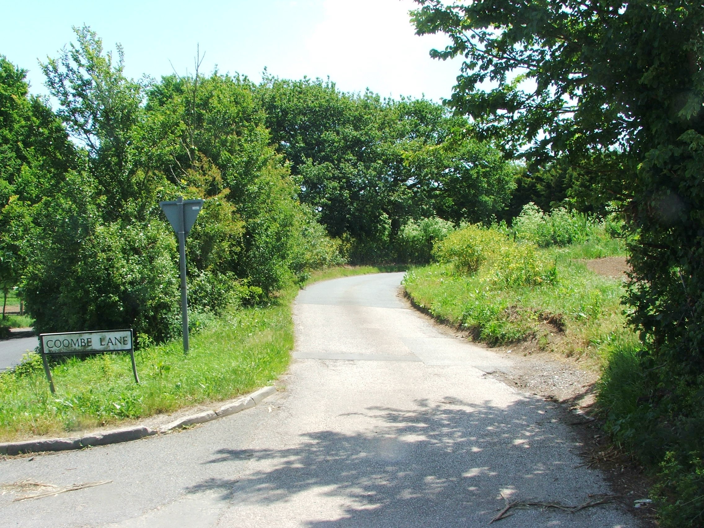
Coombe, Kent
Coombe is a settlement in the English county of Kent. It lies between Ash-next-Sandwich and Woodnesborough. According to Edward Hasted in 1800, it was...

RAF Ash
Royal Air Force Ash or more simply RAF Ash (formerly RAF Sandwich) was a Royal Air Force underground control centre and radar station situated near the...

Marshborough
Marshborough is a small hamlet immediately adjacent to Woodnesborough in East Kent, England. == Listed buildings == === Parsonage Farm === The farmhouse...
Eastry Rural District
Eastry Rural District was a rural district in the county of Kent, England, from 1894 to 1974. It was subject to a significant boundary reform in 1935 when...
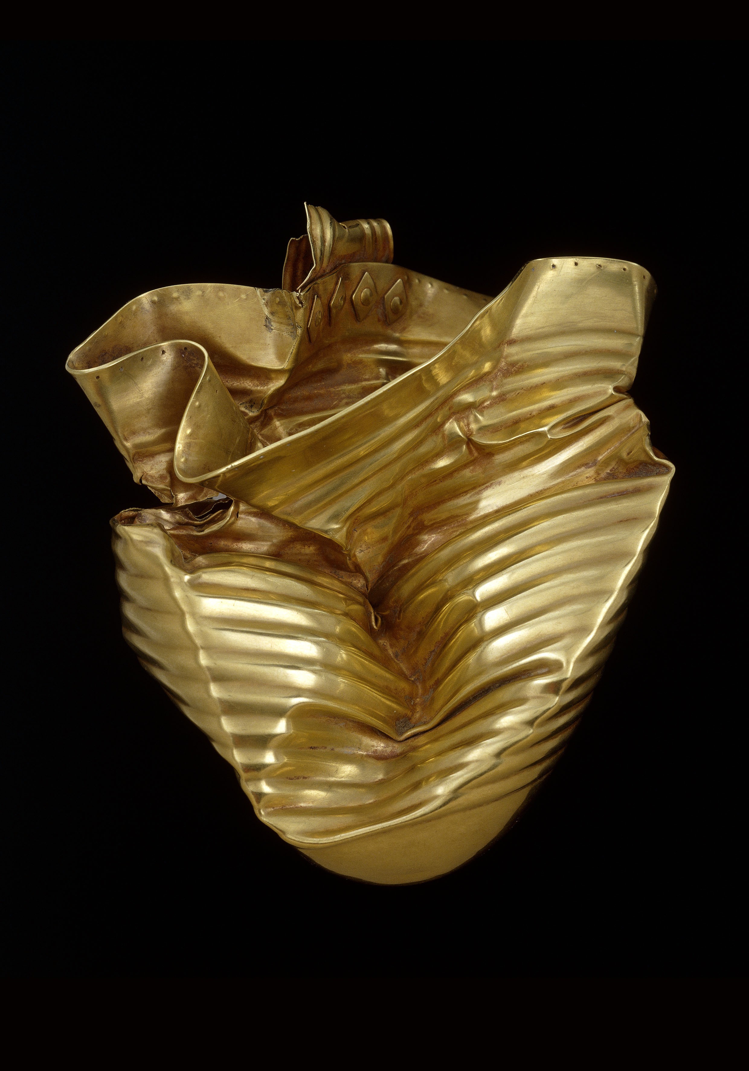
Ringlemere Cup
The Ringlemere Gold Cup is a Bronze Age vessel found in the Ringlemere barrow near Sandwich in the English county of Kent in 2001. == Description == The...

Ringlemere barrow
The Ringlemere barrow is an archaeological site near Sandwich in the English county of Kent most famous as being the find site of the Ringlemere gold cup...
Ash Town railway station
Ash Town railway station was a railway station on the East Kent Light Railway. The station served the village of Ash. == History == Opened by the East...
Woodnesborough railway station
Woodnesborough railway station was a railway station on the East Kent Light Railway. It opened on 16 October 1916 and closed to passenger traffic after...
Nearby Amenities
Located within 500m of 51.27142,1.292281Have you been to Hammill?
Leave your review of Hammill below (or comments, questions and feedback).