Blackblair Brae
Downs, Moorland in Aberdeenshire
Scotland
Blackblair Brae
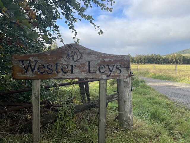
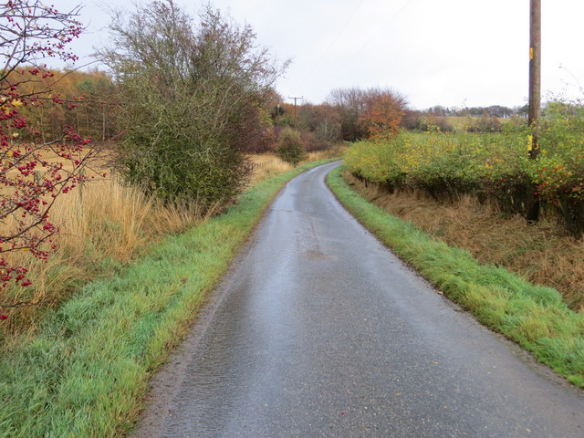
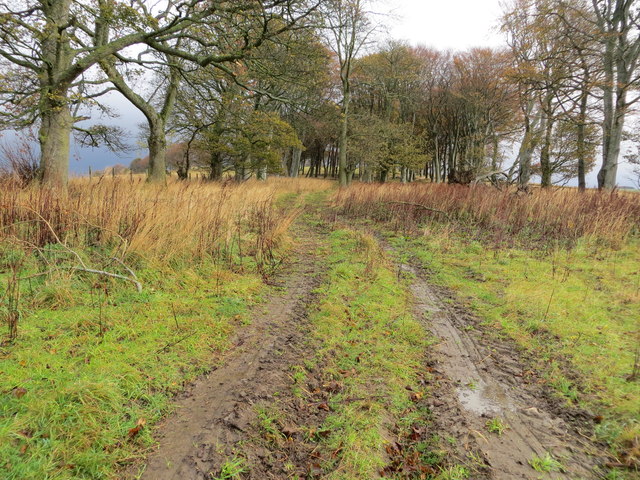
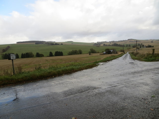
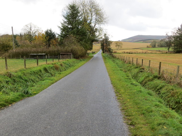
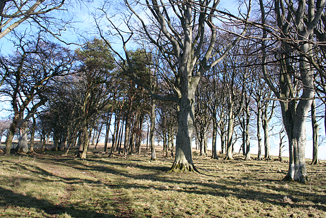
Blackblair Brae is a picturesque area located in Aberdeenshire, Scotland. Situated on the eastern edge of the region, it is known for its stunning natural beauty and diverse landscapes, including downs and moorland. The area is characterized by its rolling hills, open grasslands, and vast stretches of heather-covered moors.
The downs of Blackblair Brae offer breathtaking views of the surrounding countryside. The undulating terrain features gentle slopes and is covered in lush green grass, providing a serene and peaceful atmosphere. The downs are often dotted with grazing sheep, adding to the rustic charm of the area.
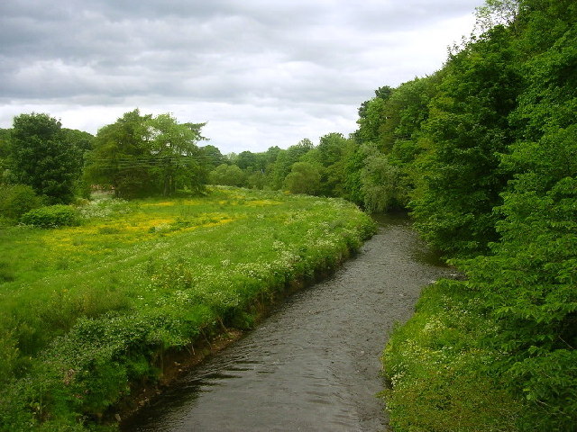
The moorland in Blackblair Brae is a unique ecosystem that supports a wide variety of flora and fauna. The moors are dominated by heather, which blooms in vibrant shades of purple during the summer months, creating a stunning carpet of color. This habitat also provides a home to many bird species, including grouse and curlews.
Blackblair Brae is a haven for outdoor enthusiasts and nature lovers. The area offers numerous walking and hiking trails, allowing visitors to explore the downs and moorland at their own pace. The landscape is also ideal for birdwatching, photography, and wildlife observation.
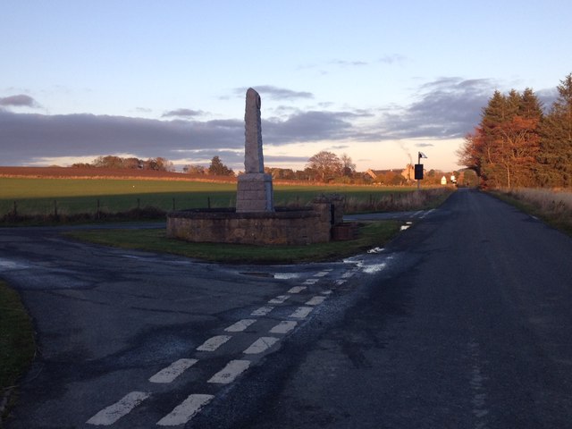
In addition to its natural beauty, Blackblair Brae is steeped in history. The area is home to several ancient archaeological sites, including standing stones and burial mounds, which offer a glimpse into the region's past.
Overall, Blackblair Brae in Aberdeenshire is a captivating destination that showcases the unspoiled beauty of the Scottish countryside. With its downs, moorland, and rich history, it is a place that leaves a lasting impression on all who visit.
If you have any feedback on the listing, please let us know in the comments section below.
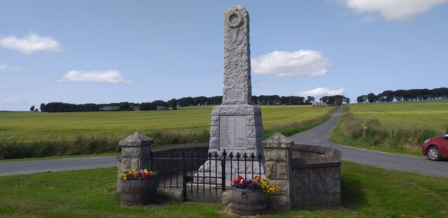
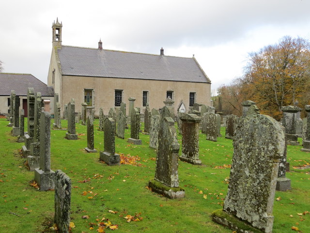
Blackblair Brae Images
Images are sourced within 2km of 57.457322/-2.7056291 or Grid Reference NJ5741. Thanks to Geograph Open Source API. All images are credited.


Blackblair Brae is located at Grid Ref: NJ5741 (Lat: 57.457322, Lng: -2.7056291)
Unitary Authority: Aberdeenshire
Police Authority: North East
What 3 Words
///tributes.irritate.revision. Near Huntly, Aberdeenshire
Nearby Locations
Related Wikis

Lessendrum
Lessendrum is a ruinous fortified house situated 7.65 kilometres (4.75 mi) to the north of Huntly, Aberdeenshire, Scotland. It is on the Buildings at Risk...

Drumblade
Drumblade is a hamlet in north-western Aberdeenshire, Scotland, which lies 4¾ miles east of the town of Huntly. == Schools == Drumblade Primary School...

Knichtland Burn
Knichtland Burn is a burn which marks the boundary of the parish of Huntly, Aberdeenshire, Scotland. == References ==
Brideswell, Aberdeenshire
Brideswell (Scottish Gaelic: Tobar Bhrìde) is a village in Aberdeenshire, Scotland. It is named in honour of Brigid of Ireland.
Cobairdy Castle
Cobairdy Castle was a 16th-century tower house, about 4 miles (6.4 km) north-east of Huntly, Aberdeenshire, Scotland, west of Burn of Connairdy. It may...
Battle of Slioch
The Battle of Slioch was a minor skirmish in the First War of Scottish Independence. Although the encounter was inconclusive, the domestic enemies of the...
River Bogie
The River Bogie (Scottish Gaelic: Balgaidh), also known as the Water of Bogie, is a river in north-west Aberdeenshire in the north east of Scotland. It...

Bogniebrae
Bogniebrae () is a small rural settlement in Aberdeenshire, Scotland. It is located at the junction of the A97 and B9001 roads, six miles (ten kilometres...
Nearby Amenities
Located within 500m of 57.457322,-2.7056291Have you been to Blackblair Brae?
Leave your review of Blackblair Brae below (or comments, questions and feedback).