Bewcastle Fells

Downs, Moorland in Cumberland Carlisle

England

Bewcastle Fells

Black Preston in view The end point of a short Cumbrian walk is in view.  Spadeadam Forest can be noted in the distance.

This photograph was taken during the Coronavirus (COVID-19) pandemic of 2020/21.
Black Preston in view Credit: James T M Towill

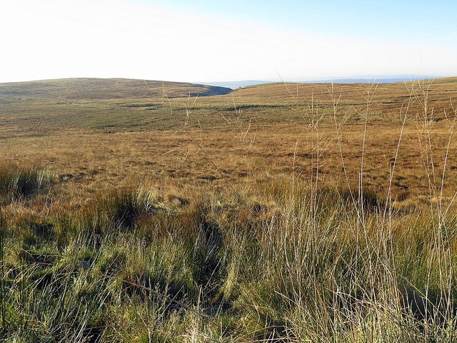
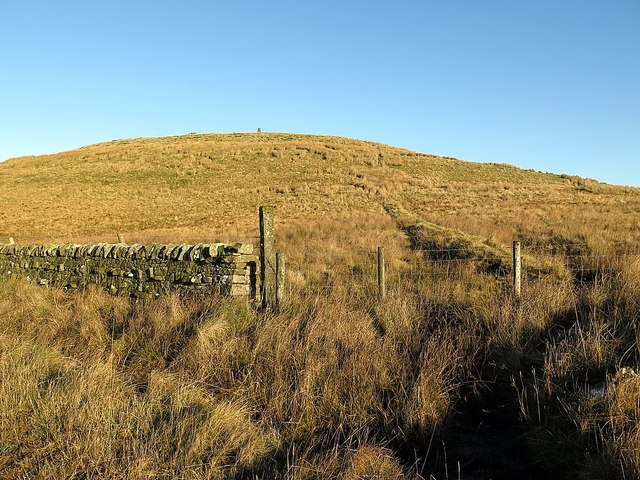
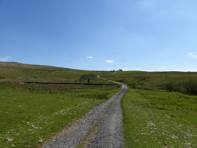
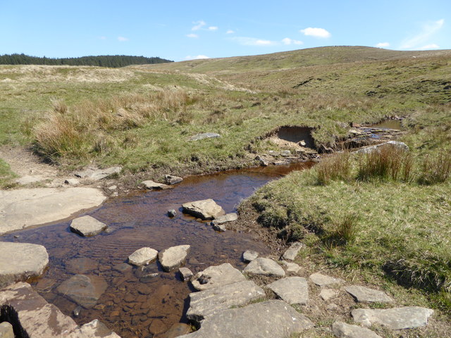
Bewcastle Fells is a scenic area located in Cumberland, England, encompassing a vast expanse of downs and moorland. Situated in the northern part of the county, the fells offer a diverse landscape with rolling hills, rugged terrain, and breathtaking vistas.

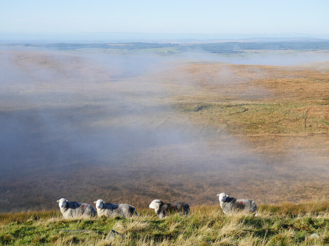
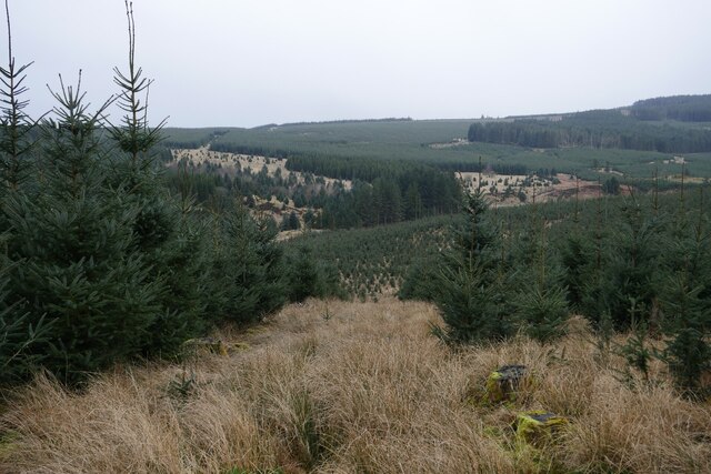
Covering an area of approximately 100 square miles, Bewcastle Fells is renowned for its unspoiled beauty and tranquil atmosphere. The region is characterized by its open spaces, heather-covered moors, and scattered clusters of trees, creating a picturesque setting for visitors to explore. The fells are home to a variety of wildlife, including birds of prey, sheep, and wild ponies, adding to the area's natural charm.

The fells are rich in history, with evidence of human habitation dating back to prehistoric times. One notable landmark within the area is Bewcastle Tower, a medieval pele tower that stands as a testament to the region's past. The tower, built in the 13th century, offers visitors a glimpse into the area's historical significance.

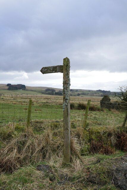
Outdoor enthusiasts are drawn to Bewcastle Fells for its excellent walking and hiking opportunities. The network of footpaths and trails allows visitors to experience the rugged beauty of the landscape up close. The fells also provide ample opportunities for photography, birdwatching, and nature appreciation.

Overall, Bewcastle Fells in Cumberland is a captivating destination for those seeking to immerse themselves in the scenic beauty and rich history of the English countryside. Whether exploring the moorland or admiring the ancient architecture, visitors are sure to be enchanted by this remarkable area.

If you have any feedback on the listing, please let us know in the comments section below.

Bewcastle Fells Images

Images are sourced within 2km of 55.096656/-2.6634395 or Grid Reference NY5778. Thanks to Geograph Open Source API. All images are credited.

Black Preston in view The end point of a short Cumbrian walk is in view.  Spadeadam Forest can be noted in the distance.

This photograph was taken during the Coronavirus (COVID-19) pandemic of 2020/21.
Black Preston in view
The end point of a short Cumbrian walk is in view. Spadeadam Forest can be noted in the distance. This photograph was taken during the Coronavirus (COVID-19) pandemic of 2020/21.
Bewcastle Hammer on Black Preston 'Bewcastle Hammer' is the name given by another Geograph contributor to this installation on Black Preston.  Retreating valley fog can be noted in the distance.

This photograph was taken during the Coronavirus (COVID-19) pandemic of 2020/21.
Bewcastle Hammer on Black Preston
'Bewcastle Hammer' is the name given by another Geograph contributor to this installation on Black Preston. Retreating valley fog can be noted in the distance. This photograph was taken during the Coronavirus (COVID-19) pandemic of 2020/21.
Herdwick sheep on Black Preston All manner of noises were used to get this part of a flock of Herdwick sheep to look at the camera: mixed results in the end!

This photograph was taken during the Coronavirus (COVID-19) pandemic of 2020/21.
Herdwick sheep on Black Preston
All manner of noises were used to get this part of a flock of Herdwick sheep to look at the camera: mixed results in the end! This photograph was taken during the Coronavirus (COVID-19) pandemic of 2020/21.
White Preston from Black Preston Rather bleak grazing moorland punctuated by a couple of minor summits.  White Preston features some communications infrastructure for RAF Spadeadam.

This photograph was taken during the Coronavirus (COVID-19) pandemic of 2020/21.
White Preston from Black Preston
Rather bleak grazing moorland punctuated by a couple of minor summits. White Preston features some communications infrastructure for RAF Spadeadam. This photograph was taken during the Coronavirus (COVID-19) pandemic of 2020/21.
Millennium Cairn on Black Preston Erected by a local farmer to commemorate his family's link to this land.  A beautiful view of this corner of Cumbria can be obtained after the short climb from the nearby track.

This photograph was taken during the Coronavirus (COVID-19) pandemic of 2020/21.
Millennium Cairn on Black Preston
Erected by a local farmer to commemorate his family's link to this land. A beautiful view of this corner of Cumbria can be obtained after the short climb from the nearby track. This photograph was taken during the Coronavirus (COVID-19) pandemic of 2020/21.
The White Lyne This section of this small river's route has been altered by recent flood events.
The White Lyne
This section of this small river's route has been altered by recent flood events.
Tree planting supplies on The Flatt Stream sides have been planted with native broadleaved saplings with apparently more areas left to plant.
Tree planting supplies on The Flatt
Stream sides have been planted with native broadleaved saplings with apparently more areas left to plant.
A moss-encrusted fingerpost by Townfoot The fingerpost is pointing the way to a seldom-used right of way to Christianbury Crags.
A moss-encrusted fingerpost by Townfoot
The fingerpost is pointing the way to a seldom-used right of way to Christianbury Crags.
Heading into the forest by The Flatt A seldom used right of way to Christianbury Crags with tricky conditions underfoot.
Heading into the forest by The Flatt
A seldom used right of way to Christianbury Crags with tricky conditions underfoot.
White Preston from the west
Lady Moss
Lady Moss
Black Preston A large cairn has been constructed on the hill <a href="https://www.geograph.org.uk/photo/1868739">NY5876 : Millennium cairn on Black Preston (3)</a>
Black Preston
A large cairn has been constructed on the hill NY5876 : Millennium cairn on Black Preston (3)
Track near Black Moss Black Preston is in the distance.
Track near Black Moss
Black Preston is in the distance.
Drystone Wall
Drystone Wall
Sheep Fold
Sheep Fold
Boundary Fence
Boundary Fence
Track leading to Crew
Whams Sike
Whams Sike
Show me another place!

Bewcastle Fells is located at Grid Ref: NY5778 (Lat: 55.096656, Lng: -2.6634395)

Administrative County: Cumbria

District: Carlisle

Police Authority: Cumbria

What 3 Words

///beaten.revives.overtime. Near Brampton, Cumbria

Nearby Locations

Bewcastle Fells Watch Rigg

Related Wikis

Sighty Crag

Sighty Crag is a[hill in the southern part of the Kielder Forest region in northern England, a region which also includes its fellow Marilyns of Peel Fell...

Bewcastle Castle

Bewcastle Castle is a ruined castle in the parish of Bewcastle in the English county of Cumbria, a few miles from the Scottish border. == History == The...

Bewcastle Cross

The Bewcastle Cross is an Anglo-Saxon cross which is still in its original position within the churchyard of St Cuthbert's church at Bewcastle, in the...

Bewcastle Roman Fort

Bewcastle Roman Fort was built to the north of Hadrian's Wall as an outpost fort possibly intended for scouting and intelligence. The remains of the fort...

Have you been to Bewcastle Fells?

Leave your review of Bewcastle Fells below (or comments, questions and feedback).