Ream's Hill

Hill, Mountain in Aberdeenshire

Scotland

Ream's Hill

Wester Leys Farm entrance
Wester Leys Farm entrance Credit: Ralph Greig

Ream's Hill is a prominent hill located in Aberdeenshire, Scotland. With an elevation of approximately 660 meters (2,165 feet), it stands as a significant landmark in the region. The hill is part of the Cairngorms National Park, a designated area of outstanding natural beauty.

The terrain of Ream's Hill is characterized by a mixture of heather moorland, rocky outcrops, and grassy slopes. Its distinct shape and steep sides make it easily recognizable from afar. The hill offers breathtaking panoramic views of the surrounding landscape, including the picturesque valleys, rolling hills, and distant mountain ranges.

Ream's Hill is a popular destination for outdoor enthusiasts and hillwalkers, attracting visitors from both near and far. It provides a range of walking routes catering to different skill levels, offering opportunities for leisurely strolls as well as more challenging hikes. The summit provides a rewarding vantage point, allowing visitors to appreciate the natural beauty of Aberdeenshire.

The hill is also home to a variety of wildlife, including red deer, mountain hares, and various bird species. Birdwatchers may spot golden eagles, peregrine falcons, and ptarmigans in the area.

Access to Ream's Hill is facilitated by nearby car parks and well-maintained paths. However, it is important for visitors to be well-prepared, with appropriate footwear and clothing, as weather conditions can change rapidly and the terrain can be challenging.

Overall, Ream's Hill is a remarkable natural landmark in Aberdeenshire, offering visitors an opportunity to immerse themselves in the stunning Scottish countryside and enjoy outdoor activities in a truly picturesque setting.

If you have any feedback on the listing, please let us know in the comments section below.
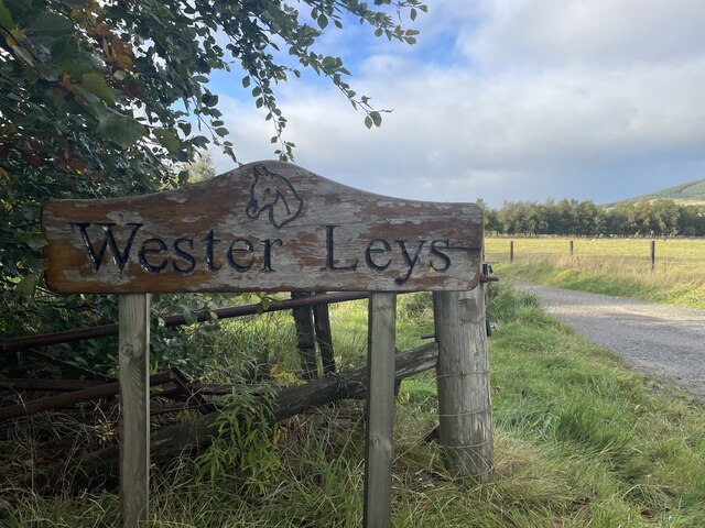
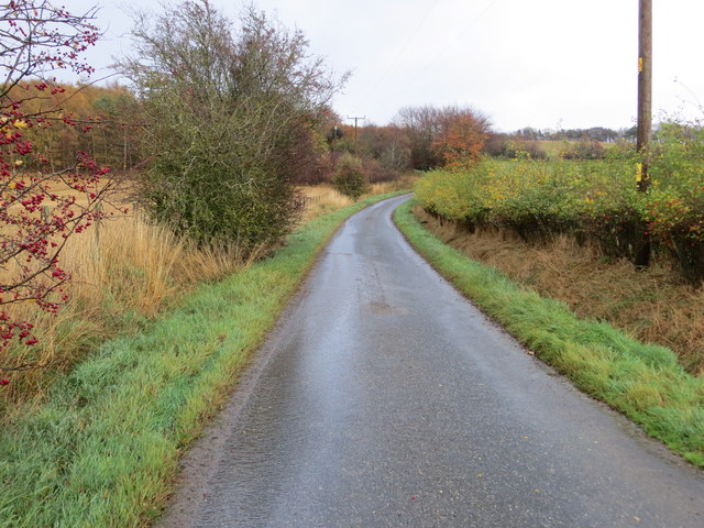
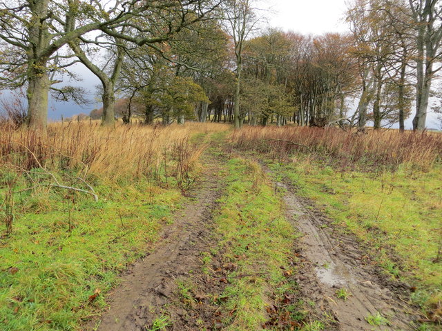
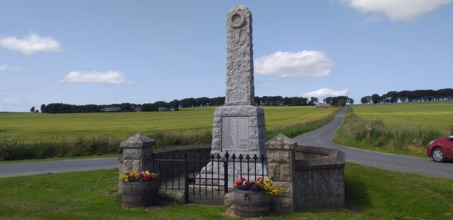
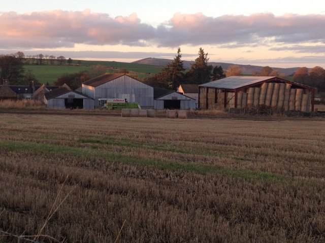
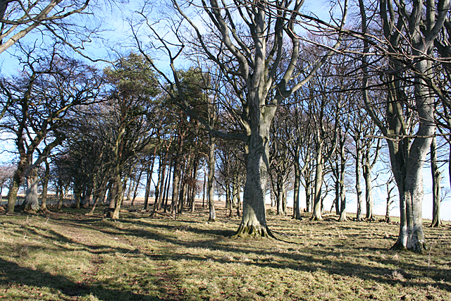
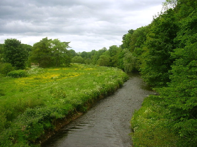
Ream's Hill Images

Images are sourced within 2km of 57.458118/-2.7030777 or Grid Reference NJ5741. Thanks to Geograph Open Source API. All images are credited.

Wester Leys Farm entrance
Minor road approaching Loangarry Looking south-eastward.
Minor road approaching Loangarry
Looking south-eastward.
Tree-lined track to Newtongarry Hill Looking north-eastward.
Tree-lined track to Newtongarry Hill
Looking north-eastward.
Drumblade War Memorial Granite obliesk memorial was unveiled on Armistice Day , Friday 11th Nov 1921, by The Marquess of Aberdeen and Temair.
Drumblade War Memorial
Granite obliesk memorial was unveiled on Armistice Day , Friday 11th Nov 1921, by The Marquess of Aberdeen and Temair.
Burial Ground and Church at Dumblade Viewed from the south.
Burial Ground and Church at Dumblade
Viewed from the south.
Junction of roads at Meikleton Looking south-eastward towards Mains of Corse.
Junction of roads at Meikleton
Looking south-eastward towards Mains of Corse.
Minor road at Haughs of Corse Looking north-westward.
Minor road at Haughs of Corse
Looking north-westward.
War memorial near Brideswell
Troupsmill Farm
Troupsmill Farm
Shelter Belt I am assuming that this strip of trees was intended as a shelter belt, though they are a bit sparse.
Shelter Belt
I am assuming that this strip of trees was intended as a shelter belt, though they are a bit sparse.
Uninhabited Houses This pair of houses stands at the end of the road to Mains of Newtongarry.
Uninhabited Houses
This pair of houses stands at the end of the road to Mains of Newtongarry.
Drumblade War Memorial For details of the inscription see <a href="https://www.geograph.org.uk/photo/4344469">NJ5739 : Drumblade War Memorial</a>.
Drumblade War Memorial
For details of the inscription see NJ5739 : Drumblade War Memorial.
Drumblade War Memorial This is the list of men of the parish of Drumblade who were killed in the First World War. On the ground below is a separate stone with the name of one parishioner killed in the Second World War: Alexander Hunter, 4th Regiment Royal Horse Artillery. See also <a href="https://www.geograph.org.uk/photo/4344461">NJ5739 : Drumblade War Memorial</a>
Drumblade War Memorial
This is the list of men of the parish of Drumblade who were killed in the First World War. On the ground below is a separate stone with the name of one parishioner killed in the Second World War: Alexander Hunter, 4th Regiment Royal Horse Artillery. See also NJ5739 : Drumblade War Memorial
Mains of Newtongarry The farm from near the war memorial. In front of the farm is a curious small building which may or may not be a doocot, but I could not go to take a closer look because the field is in crop.
Mains of Newtongarry
The farm from near the war memorial. In front of the farm is a curious small building which may or may not be a doocot, but I could not go to take a closer look because the field is in crop.
Shelter Belt I surmise that this is more than just a shelter belt - it could be the march of two different farms.
Shelter Belt
I surmise that this is more than just a shelter belt - it could be the march of two different farms.
Loanhead Fields of winter cereal, divided by the remains of an old drystane dyke, beside Loanhead.
Loanhead
Fields of winter cereal, divided by the remains of an old drystane dyke, beside Loanhead.
Above Kirkton Mill Winter cereal in a field beside the road down to Kirkton Mill. The large barn in the middle distance is at Troupsmill.
Above Kirkton Mill
Winter cereal in a field beside the road down to Kirkton Mill. The large barn in the middle distance is at Troupsmill.
Outdated Sign Neither Corse School nor Corse Post Office exists now, but I do expect to find the Wells of Ythan, though perhaps not today as there are plenty of nearer squares to explore.
Outdated Sign
Neither Corse School nor Corse Post Office exists now, but I do expect to find the Wells of Ythan, though perhaps not today as there are plenty of nearer squares to explore.
Show me another place!

Ream's Hill is located at Grid Ref: NJ5741 (Lat: 57.458118, Lng: -2.7030777)

Unitary Authority: Aberdeenshire

Police Authority: North East

What 3 Words

///occupiers.fearfully.scar. Near Huntly, Aberdeenshire

Related Wikis

Lessendrum

Lessendrum is a ruinous fortified house situated 7.65 kilometres (4.75 mi) to the north of Huntly, Aberdeenshire, Scotland. It is on the Buildings at Risk...

Drumblade

Drumblade is a hamlet in north-western Aberdeenshire, Scotland, which lies 4¾ miles east of the town of Huntly. == Schools == Drumblade Primary School...

Knichtland Burn

Knichtland Burn is a burn which marks the boundary of the parish of Huntly, Aberdeenshire, Scotland. == References ==

Brideswell, Aberdeenshire

Brideswell (Scottish Gaelic: Tobar Bhrìde) is a village in Aberdeenshire, Scotland. It is named in honour of Brigid of Ireland.

Cobairdy Castle

Cobairdy Castle was a 16th-century tower house, about 4 miles (6.4 km) north-east of Huntly, Aberdeenshire, Scotland, west of Burn of Connairdy. It may...

Battle of Slioch

The Battle of Slioch was a minor skirmish in the First War of Scottish Independence. Although the encounter was inconclusive, the domestic enemies of the...

Bogniebrae

Bogniebrae () is a small rural settlement in Aberdeenshire, Scotland. It is located at the junction of the A97 and B9001 roads, six miles (ten kilometres...

River Bogie

The River Bogie (Scottish Gaelic: Balgaidh), also known as the Water of Bogie, is a river in north-west Aberdeenshire in the north east of Scotland. It...

Nearby Amenities

Located within 500m of 57.458118,-2.7030777
Power: pole
Lat/Long: 57.4609167/-2.709459
Lessendrum
Name Gd: Lios an Droma
Place: hamlet
Lat/Long: 57.4621622/-2.7048629
Bissetcross
Place: locality
Lat/Long: 57.4547925/-2.7008825
The data included in this document is from www.openstreetmap.org. The data is made available under ODbL.

Have you been to Ream's Hill?

Leave your review of Ream's Hill below (or comments, questions and feedback).