Birny Brae
Downs, Moorland in Roxburghshire
Scotland
Birny Brae
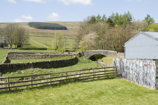
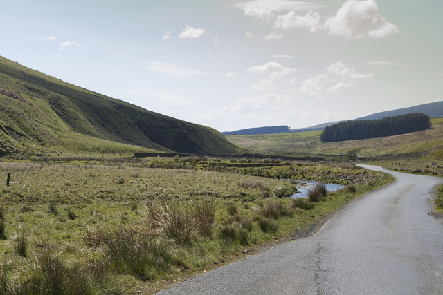
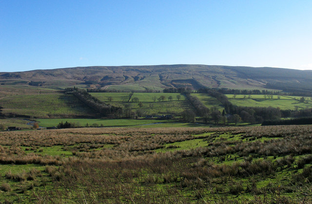
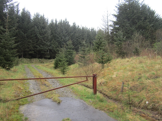
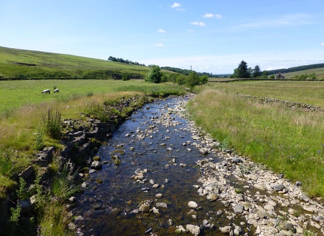
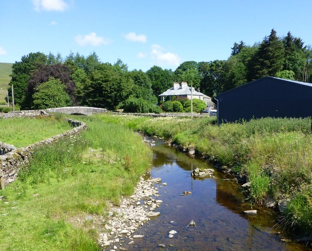
Birny Brae is a picturesque area located in Roxburghshire, a historic county in the Scottish Borders region of Scotland. Situated amidst the stunning Downs and Moorland landscapes, Birny Brae offers breathtaking views and a tranquil atmosphere for visitors to enjoy.
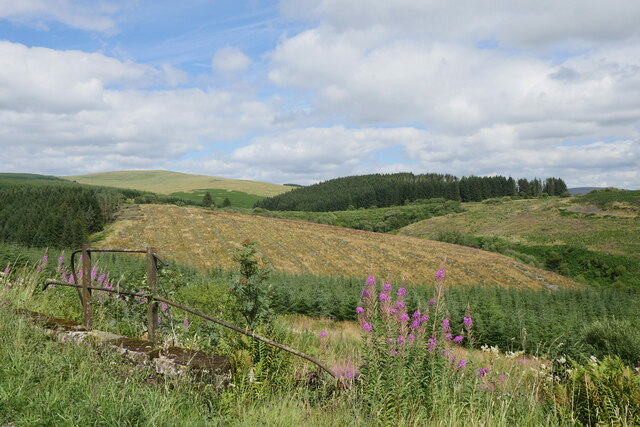
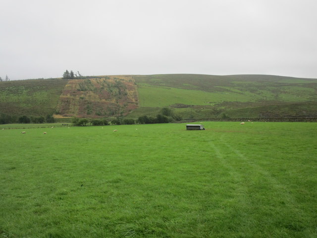
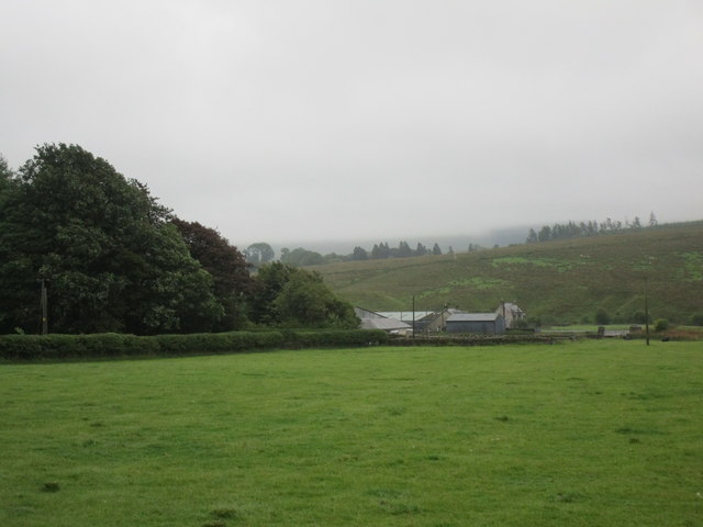
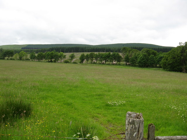
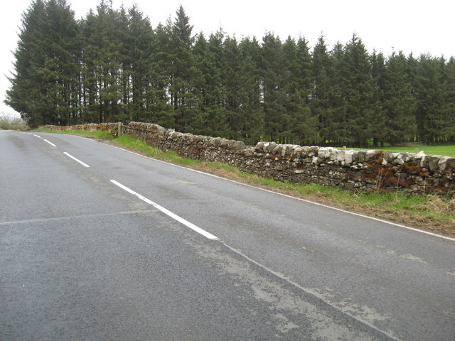
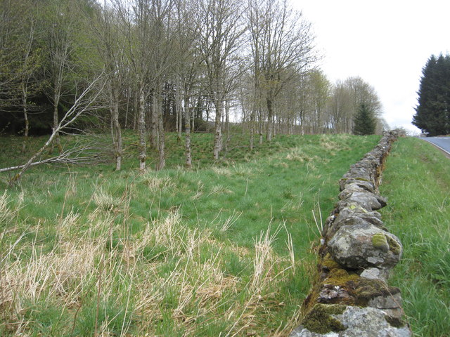
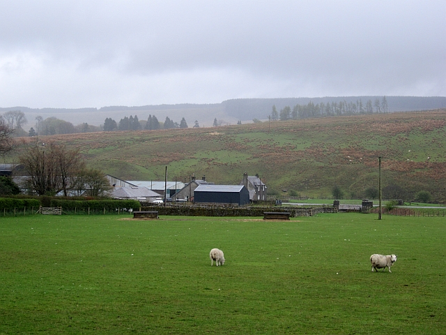
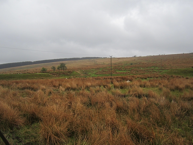
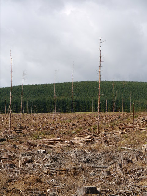
The area is known for its rolling hills, vast open spaces, and diverse flora and fauna. The Downs, with their gentle slopes and lush greenery, provide a perfect backdrop for leisurely walks and hikes. Moorland, characterized by its heather-covered expanses and scattered boulders, adds a rugged charm to the scenery.
Birny Brae is home to a variety of wildlife, including birds, mammals, and insects. Bird enthusiasts can spot species such as skylarks, meadow pipits, and kestrels soaring through the skies. The moorland habitat supports a range of mammals, including rabbits, hares, and occasionally, deer.
Visitors to Birny Brae can immerse themselves in the natural beauty of the area, capturing stunning photographs or simply appreciating the tranquility of the surroundings. The peacefulness of the landscape also makes it an ideal spot for picnics or simply taking a moment to relax and unwind.
In conclusion, Birny Brae in Roxburghshire is a captivating destination for nature lovers and those seeking a peaceful retreat. Its Downs and Moorland landscapes, abundant wildlife, and serene atmosphere make it a must-visit location for anyone looking to connect with nature and experience the beauty of the Scottish Borders.
If you have any feedback on the listing, please let us know in the comments section below.
Birny Brae Images
Images are sourced within 2km of 55.246547/-2.7000353 or Grid Reference NY5594. Thanks to Geograph Open Source API. All images are credited.
Birny Brae is located at Grid Ref: NY5594 (Lat: 55.246547, Lng: -2.7000353)
Unitary Authority: The Scottish Borders
Police Authority: The Lothians and Scottish Borders
What 3 Words
///blackbird.waged.mouths. Near Teviothead, Scottish Borders
Nearby Locations
Related Wikis
Saughtree
Saughtree is a hamlet in the Scottish Borders at the junction of the B6357 and an unnamed road from Kielder village in Northumberland, England. It is at...

Riccarton Junction railway station
Riccarton Junction, in the county of Roxburghshire in the Scottish Borders, was a railway village and station. In its heyday it had 118 residents and its...
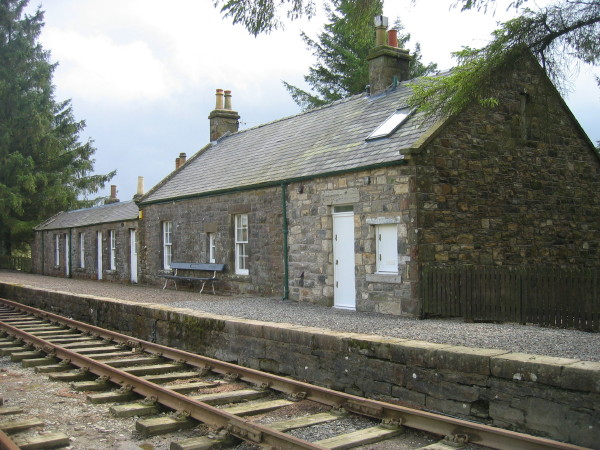
Saughtree railway station
Saughtree railway station is a closed railway station situated a mile north of the hamlet of Saughtree and two miles from the border with England. ��2...

Steele Road railway station
Steele Road railway station served the hamlet of Steele Road, Scottish Borders, Scotland, from 1862 to 1969 on the Border Union Railway. == History... ==
Have you been to Birny Brae?
Leave your review of Birny Brae below (or comments, questions and feedback).