Horse Green

Downs, Moorland in Cheshire

England

Horse Green

Off Wrenbury Road Field near Marbury.
Off Wrenbury Road Credit: Wayland Smith

The requested URL returned error: 429 Too Many Requests

If you have any feedback on the listing, please let us know in the comments section below.
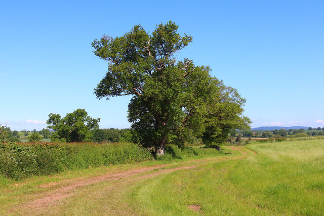
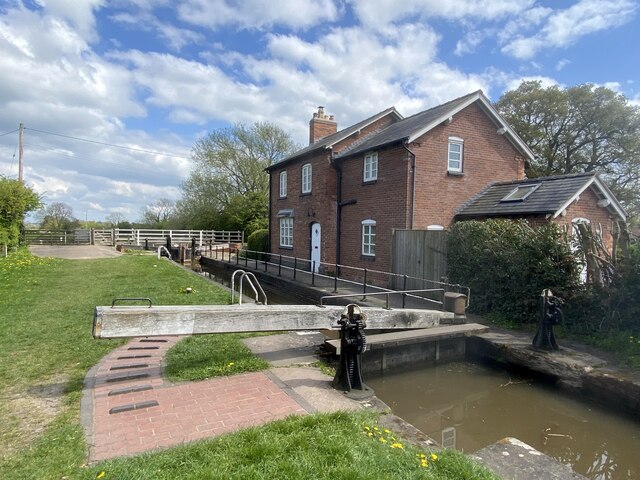
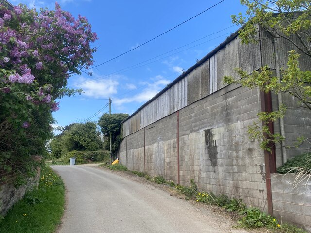
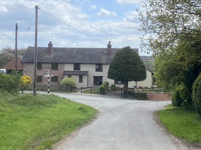
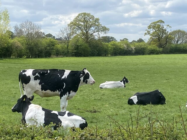
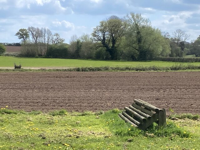
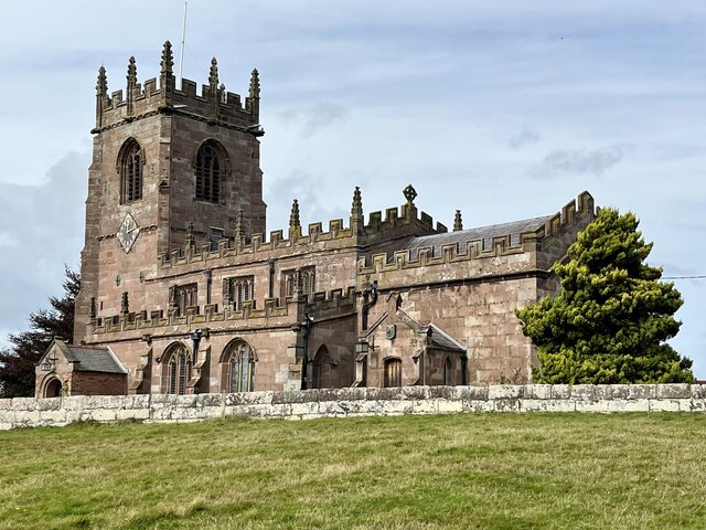
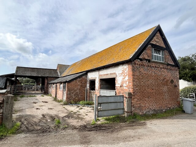
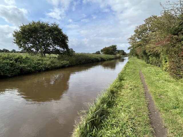
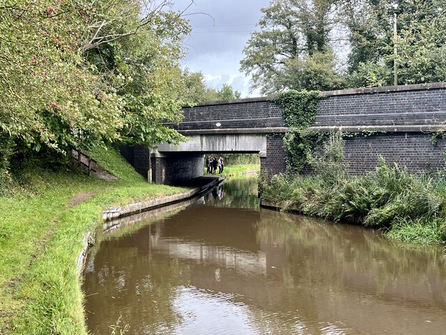
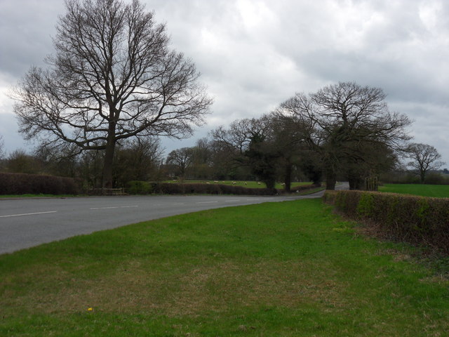
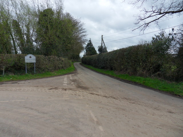
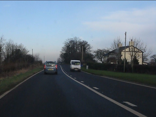
Horse Green Images

Images are sourced within 2km of 53.018633/-2.6635692 or Grid Reference SJ5547. Thanks to Geograph Open Source API. All images are credited.

Off Wrenbury Road Field near Marbury.
Off Wrenbury Road
Field near Marbury.
Marbury Lock With the lock keeper's house.
Marbury Lock
With the lock keeper's house.
Farm building at Higher Hall Farm, Norbury
Cottages by road junction In the centre of Norbury.
Cottages by road junction
In the centre of Norbury.
Pastoral scene Cows in field by the road junction at Norbury Common.
Pastoral scene
Cows in field by the road junction at Norbury Common.
Field with horse jump Adjacent to Llangollen canal.
Field with horse jump
Adjacent to Llangollen canal.
Church of St Michael, Marbury, Cheshire
Farm buildings at Cross Hill farm
Steer Bridge Bridge 24 on the Llangollen canal.
Steer Bridge
Bridge 24 on the Llangollen canal.
Llangollen canal North-west of Marbury.
Llangollen canal
North-west of Marbury.
Quoisley Canal Bridge Carrying the busy A41 over the Llangollen Canal.
Quoisley Canal Bridge
Carrying the busy A41 over the Llangollen Canal.
A Forty Nine The A49 near Swanick Green, leading to Whitchurch.
A Forty Nine
The A49 near Swanick Green, leading to Whitchurch.
Borough Boundary Junction of Snab Lane and Common Lane at the Crewe and Nantwich Borough boundary, near Higher Snab.
Borough Boundary
Junction of Snab Lane and Common Lane at the Crewe and Nantwich Borough boundary, near Higher Snab.
A49 at Quoisley
A49 at Quoisley
View north from Quoisley Bridge
A49 north of Quoisley Bridge
A49 near The Willey Farm
Chicane over the Steer Brook, A49 A remarkable piece of new construction.  I wonder why a straighter line wasn't used?
Chicane over the Steer Brook, A49
A remarkable piece of new construction. I wonder why a straighter line wasn't used?
Show me another place!

Horse Green is located at Grid Ref: SJ5547 (Lat: 53.018633, Lng: -2.6635692)

Unitary Authority: Cheshire East

Police Authority: Cheshire

What 3 Words

///jokes.hidden.tram. Near Bickley, Cheshire

Nearby Locations

Horse Green Norbury

Related Wikis

Norbury, Cheshire

Norbury is a hamlet and former civil parish, now in the parish of Marbury and District, in the Cheshire East district, in the ceremonial county of Cheshire...

Marbury, Cheshire

Marbury is a small village located at SJ560457 in the civil parish of Marbury and District, formerly Marbury cum Quoisley, within the unitary authority...

St Michael's Church, Marbury

St Michael's Church, also known as St Michael and All Angels, stands on a small rise overlooking Big Mere in the village of Marbury, Cheshire, England...

Quoisley Meres

Quoisley Meres refers to two meres, Quoisley Big Mere and Quoisley Little Mere, near the village of Marbury, in Cheshire, England. Glacial in origin, the...

Nearby Amenities

Located within 500m of 53.018633,-2.6635692
Norbury
Place: hamlet
Source: OS_OpenData_StreetView
Lat/Long: 53.0209923/-2.6601486
Bank Farm
Place: farm
Source: Bing
Lat/Long: 53.0212491/-2.657948
Wilbury Farm
Place: isolated_dwelling
Source: local knowledge
Lat/Long: 53.0216886/-2.666631
Horse Green Farm
Place: farm
Source: Bing
Lat/Long: 53.0169215/-2.6640297
Horse Green
Place: hamlet
Source: Bing
Lat/Long: 53.0170439/-2.6654649
Hurst Green
Place: isolated_dwelling
Source: Bing
Lat/Long: 53.0175626/-2.6661125
Rose Bank
Place: isolated_dwelling
Source: Bing
Lat/Long: 53.0226367/-2.662791
The Mount
Place: isolated_dwelling
Source: Bing
Lat/Long: 53.0221799/-2.6625044
Tower Farm
Place: farm
Source: Bing
Lat/Long: 53.0176455/-2.665047
Norbury Hill
Ele: 112
Natural: peak
Lat/Long: 53.0206323/-2.6692456
Power: pole
Lat/Long: 53.0189575/-2.6573288
Power: pole
Lat/Long: 53.0183105/-2.6582488
Power: pole
Lat/Long: 53.0177135/-2.659142
Power: pole
Lat/Long: 53.017102/-2.6599816
Power: pole
Lat/Long: 53.0162339/-2.6615694
Power: pole
Lat/Long: 53.0154142/-2.663042
Power: pole
Lat/Long: 53.014772/-2.6642033
The data included in this document is from www.openstreetmap.org. The data is made available under ODbL.

Have you been to Horse Green?

Leave your review of Horse Green below (or comments, questions and feedback).