Blackchester Moss

Downs, Moorland in Roxburghshire

Scotland

Blackchester Moss

B6400-B6359 junction
B6400-B6359 junction Credit: Alan Reid

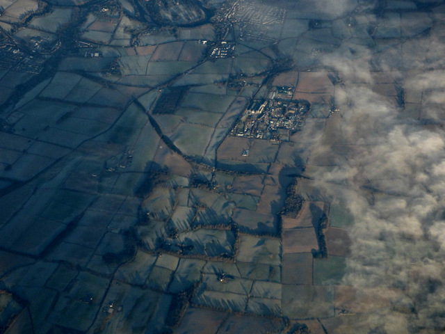
Blackchester Moss is a vast expanse of diverse landscape located in Roxburghshire, Scotland. Covering an area of approximately 1,500 acres, it encompasses a combination of downs and moorland, offering a unique and picturesque setting for visitors and nature enthusiasts alike.

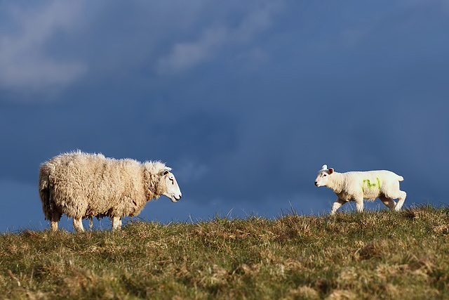
The downs of Blackchester Moss are characterized by rolling hills and wide open spaces, blanketed in a rich tapestry of vibrant heather and grasses. These downs provide ample grazing opportunities for a variety of wildlife, including herds of wild deer and flocks of grazing birds.

The moorland component of Blackchester Moss is a captivating blend of heath and bogland, boasting an incredibly diverse range of flora and fauna. Visitors can expect to encounter an array of rare and protected species, such as the carnivorous sundew and the elusive black grouse.

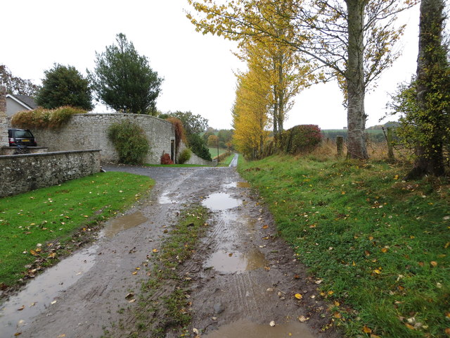
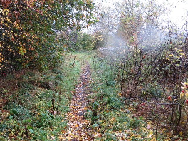
In addition to its natural beauty, Blackchester Moss also boasts a network of well-maintained walking trails, allowing visitors to explore its various habitats and immerse themselves in the tranquil surroundings. These paths offer stunning panoramic views of the surrounding countryside and provide an opportunity to observe the abundant wildlife in their natural habitats.

Blackchester Moss is a haven for outdoor enthusiasts, offering activities such as birdwatching, photography, and nature walks. Its unique combination of downs and moorland make it a truly remarkable destination, attracting visitors from near and far to experience the raw beauty of this Scottish gem.

If you have any feedback on the listing, please let us know in the comments section below.

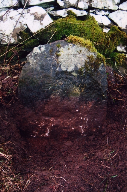
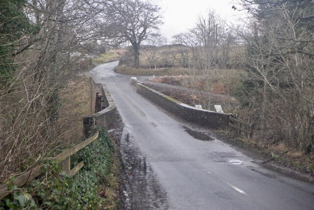
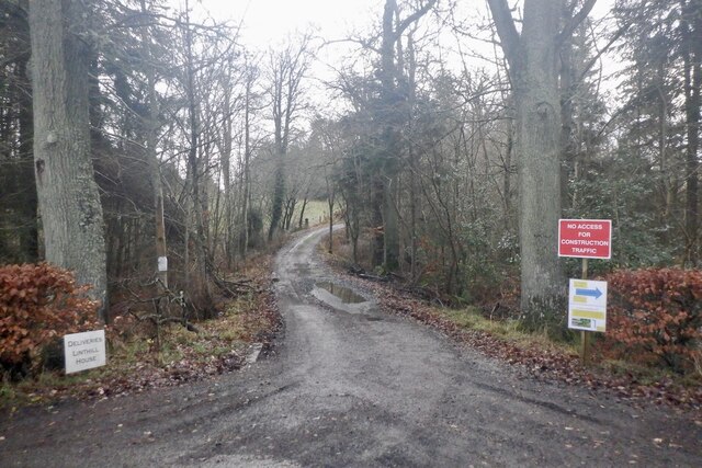
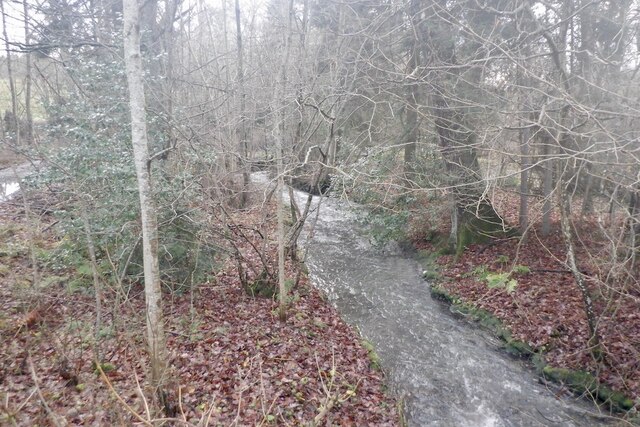
Blackchester Moss Images

Images are sourced within 2km of 55.535958/-2.7054385 or Grid Reference NT5527. Thanks to Geograph Open Source API. All images are credited.

B6400-B6359 junction
A ewe with lamb at Kippilaw This evening view was taken against a threatening sky.
A ewe with lamb at Kippilaw
This evening view was taken against a threatening sky.
Charlesfield industrial estate from the air Whinfield and Elliston are in the foreground, St Boswells is in the distance.
Charlesfield industrial estate from the air
Whinfield and Elliston are in the foreground, St Boswells is in the distance.
Salters Ford Salters Ford is found on Ale Water near Bewlie. The ford in Autumnal colours can be seen at:<a title="https://www.geograph.org.uk/photo/4218139" href="https://www.geograph.org.uk/photo/4218139">Link</a>
Salters Ford
Salters Ford is found on Ale Water near Bewlie. The ford in Autumnal colours can be seen at:Link
Track at Birseslees Looking northward.
Track at Birseslees
Looking northward.
A somewhat overgrown, wet and muddy track near Camp Knowes Looking north-westward. The picture was taken on a day when the Met Office had given a 'Yellow' warning of heavy and continuous rain. This proved correct hence the rain spots.
A somewhat overgrown, wet and muddy track near Camp Knowes
Looking north-westward. The picture was taken on a day when the Met Office had given a 'Yellow' warning of heavy and continuous rain. This proved correct hence the rain spots.
Old Milestone near Langside, Bowden parish Milestone by the UC road, in parish of Bowden (Roxburgh District), Langside, on verge in front of drystone wall.

Inscription once read:-
(Newtown)
(3)

Surveyed

Milestone Society National ID: BD_SBLL03
Old Milestone near Langside, Bowden parish
Milestone by the UC road, in parish of Bowden (Roxburgh District), Langside, on verge in front of drystone wall. Inscription once read:- (Newtown) (3) Surveyed Milestone Society National ID: BD_SBLL03
Bridge, Midlem Mill
Bridge, Midlem Mill
Road into Linthill
Road into Linthill
Midlem Burn
Midlem Burn
Green lane to Midlem
A muddy field entrance, Clarilaw
Winter arable
Winter arable
Kippilaw from the air Viewed from an Edinburgh bound flight from Prague.
Kippilaw from the air
Viewed from an Edinburgh bound flight from Prague.
A pond at Kippilaw This pond is bounded by grazing fields and a narrow strip wood.
A pond at Kippilaw
This pond is bounded by grazing fields and a narrow strip wood.
A pond at Kippilaw This is at the southern end of the pond where there is a decaying elm tree.
A pond at Kippilaw
This is at the southern end of the pond where there is a decaying elm tree.
The remains of a windmill at Kippilaw This ruined stone base of a windmill stands on a ridge to the west of Kippilaw. Apparently, this is only one of two windmill sites in the Scottish Borders, the other being at Caverton Mill near Morebattle <a href="https://www.geograph.org.uk/photo/1021036">NT7425 : Caverton Mill</a>.
The remains of a windmill at Kippilaw
This ruined stone base of a windmill stands on a ridge to the west of Kippilaw. Apparently, this is only one of two windmill sites in the Scottish Borders, the other being at Caverton Mill near Morebattle NT7425 : Caverton Mill.
Show me another place!

Blackchester Moss is located at Grid Ref: NT5527 (Lat: 55.535958, Lng: -2.7054385)

Unitary Authority: The Scottish Borders

Police Authority: The Lothians and Scottish Borders

What 3 Words

///outings.thud.diplomat. Near Newtown St Boswells, Scottish Borders

Nearby Locations

Blackchester Moss Clarilaw

Related Wikis

Belses

Belses is a village on the Ale Water, in the Scottish Borders area of Scotland the former Selkirkshire. It is situated close to Old Belses, and lies south...

Old Belses

Old Belses is a village by the Ale Water, in the Parish of Ancrum, in the Scottish Borders of Scotland, in the historic county of Roxburghshire. Other...

Belses railway station

Belses railway station served the village of Belses, Scottish Borders, Scotland from 1849 to 1969 on the Waverley Route. == History == The station opened...

Charlesfield Halt railway station

Charlesfield Halt railway station served the village of Charlesfield, Melrose, Scotland, from 1942 to 1961 on the Waverley Route. == History == The station...

Lothian and Borders

Lothian and Borders is an area in Scotland consisting of the East Lothian, City of Edinburgh, Midlothian, West Lothian council areas (collectively known...

Lilliesleaf

Lilliesleaf is a small village and civil parish 7 miles (11 km) south east of Selkirk in the Roxburghshire area of Scottish Borders of Scotland. Other...

Bowden, Scottish Borders

Bowden is a village in the Roxburghshire area of the Scottish Borders, situated 3 miles (5 kilometres) south of Melrose, 2 miles (3 kilometres) west of...

Castle Holydean

Holydean Castle (pronounced "hollydeen") was a castle sited near Melrose in Bowden, 1.25 miles SW of the village, in the Scottish Borders region of Scotland...

Nearby Amenities

Located within 500m of 55.535958,-2.7054385
Natural: peak
Lat/Long: 55.5402212/-2.7069439
Clarilaw
Place: hamlet
Lat/Long: 55.5398759/-2.7067469
Cavers Carre
Place: hamlet
Lat/Long: 55.5343739/-2.709631
Power: pole
Lat/Long: 55.5380289/-2.7114492
Power: pole
Lat/Long: 55.5368897/-2.7096614
Power: pole
Lat/Long: 55.536193/-2.7085564
Power: pole
Lat/Long: 55.5354857/-2.7074647
Power: pole
Lat/Long: 55.5350356/-2.7067677
Power: pole
Lat/Long: 55.533769/-2.7047664
Power: pole
Lat/Long: 55.5323588/-2.7025831
Power: pole
Lat/Long: 55.5375684/-2.7107265
Power: pole
Lat/Long: 55.5329539/-2.7035045
Power: pole
Lat/Long: 55.5318236/-2.7040724
Power: pole
Lat/Long: 55.5327066/-2.7044669
Power: pole
Lat/Long: 55.5336601/-2.7049276
Power: pole
Lat/Long: 55.5341469/-2.7056478
Power: pole
Lat/Long: 55.5345819/-2.7063121
Power: pole
Lat/Long: 55.5350471/-2.7070298
Power: pole
Lat/Long: 55.5355224/-2.7077348
Power: pole
Lat/Long: 55.5359472/-2.7083762
Power: pole
Lat/Long: 55.5355757/-2.7091244
Power: pole
Lat/Long: 55.5352098/-2.70986
Power: pole
Lat/Long: 55.5348282/-2.7106489
Power: pole
Lat/Long: 55.5345747/-2.7110918
Power: pole
Lat/Long: 55.5341311/-2.7118146
Power: pole
Lat/Long: 55.5400549/-2.7043804
Power: pole
Lat/Long: 55.5399685/-2.7031358
Power: pole
Lat/Long: 55.539872/-2.702016
Power: pole
Lat/Long: 55.5398634/-2.7056707
Power: pole
Lat/Long: 55.5396747/-2.7068644
Power: pole
Lat/Long: 55.5394789/-2.708058
Power: pole
Lat/Long: 55.5382188/-2.69984
Power: pole
Lat/Long: 55.5379091/-2.7008682
Power: pole
Lat/Long: 55.5375765/-2.7019524
Power: pole
Lat/Long: 55.5372467/-2.7030595
Power: pole
Lat/Long: 55.5369226/-2.7041513
Power: pole
Lat/Long: 55.5365928/-2.7052406
Power: pole
Lat/Long: 55.536286/-2.7062536
Power: pole
Lat/Long: 55.5361132/-2.7073378
The data included in this document is from www.openstreetmap.org. The data is made available under ODbL.

Have you been to Blackchester Moss?

Leave your review of Blackchester Moss below (or comments, questions and feedback).